20의 그문트 암 테게른제가지 명소 & 주요 장소
그문트 암 테게른제에는 둘러볼 만한 장소가 많답니다. 하이킹 또는 사이클링을 좋아한다면 그문트 암 테게른제에 숨겨진 20
가지 보석을 만날 수 있을 거예요. 이 지역의 주요 명소를 살펴보면서 다음 모험을 계획해보세요.
마지막 업데이트: 9월 12, 2026
오베레 피르스트알름
하이라이트 • 산장
번역자 Google •
팁에 의해

긴델알름슈나이트 정상 십자가
하이라이트 • 정상
번역자 Google •
팁에 의해

이런 장소를 발견하려면 지금 가입하세요
최고의 싱글 트랙, 봉우리 및 다양한 흥미로운 야외 장소에 대한 추천을 받아보세요.
칼텐브룬 근처 테게른제의 멋진 전망
하이라이트 • 전망대
번역자 Google •
팁에 의해

테게른제 호수와 바이에른 알프스 전망
하이라이트 • 전망대
번역자 Google •
팁에 의해


오늘 무료 계정으로 시작하세요
다음 모험이 기다리고 있어요.
그문트 암 테게른제 주변 인기 장소
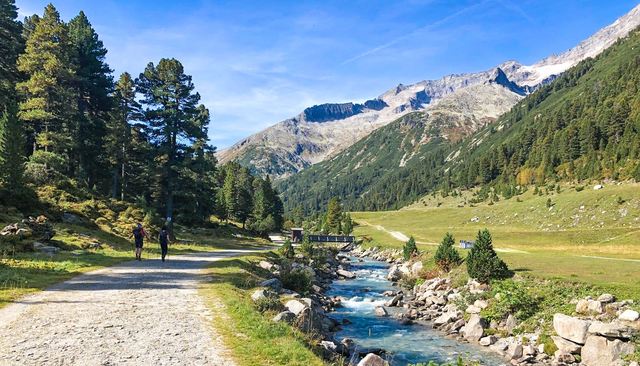
즐거운 등산로 – 테거른젤레 호수에서 스터친으로 7단계
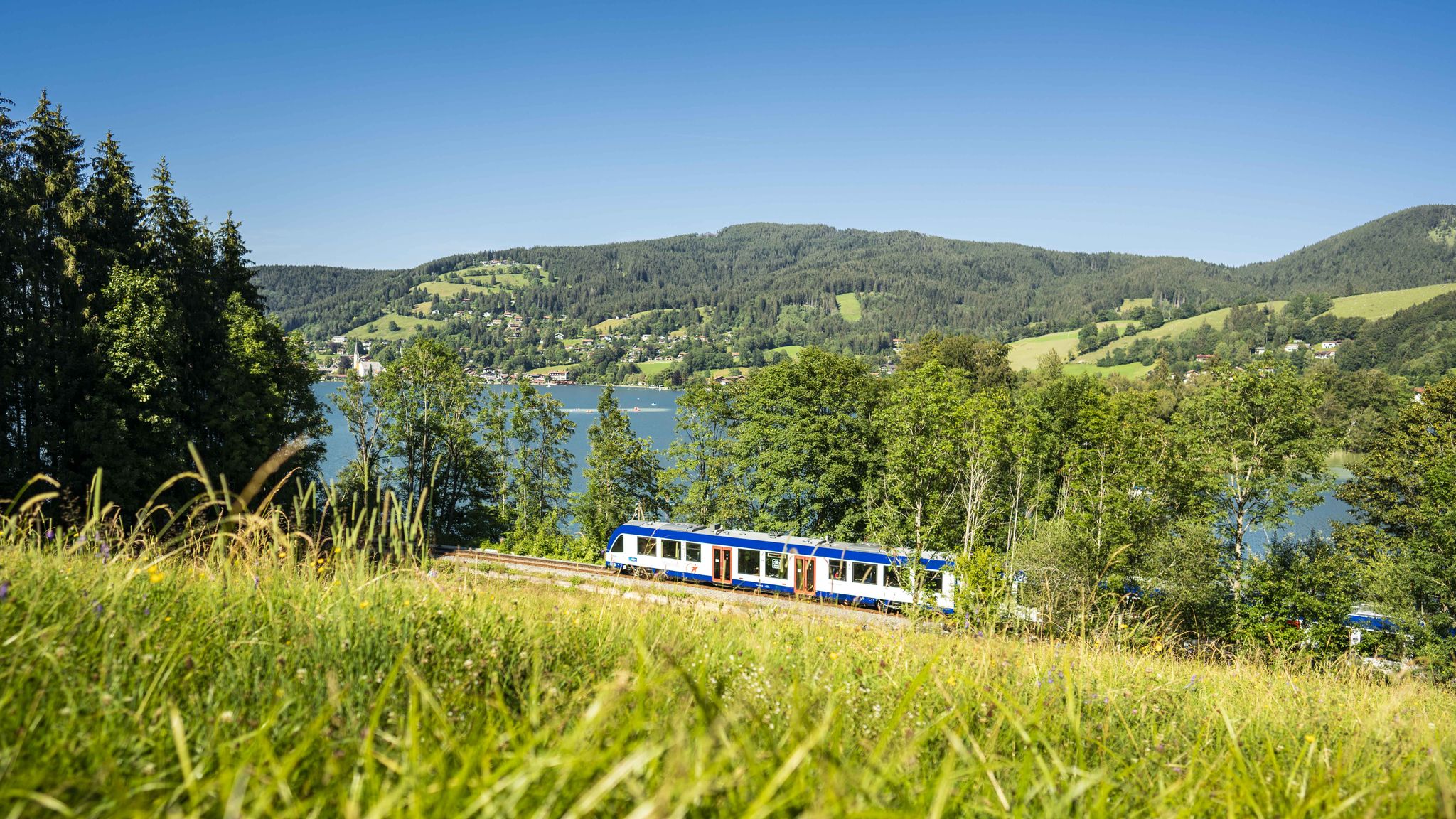
Mountain air by train – hiking in the BRB Network
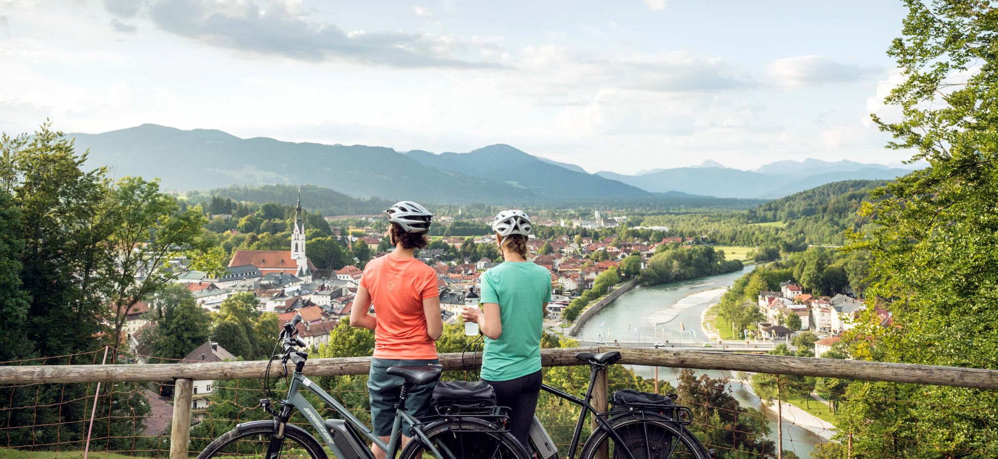
The Art Loop — Wasser-Radlwege Oberbayern
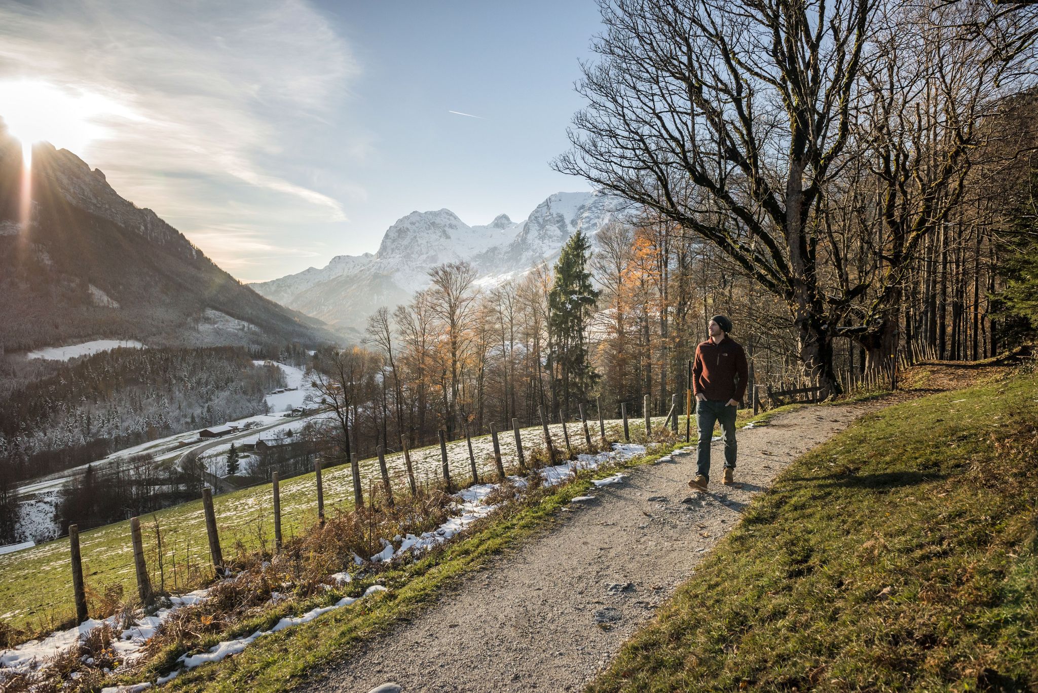
8 delightful winter hikes in Upper Bavaria
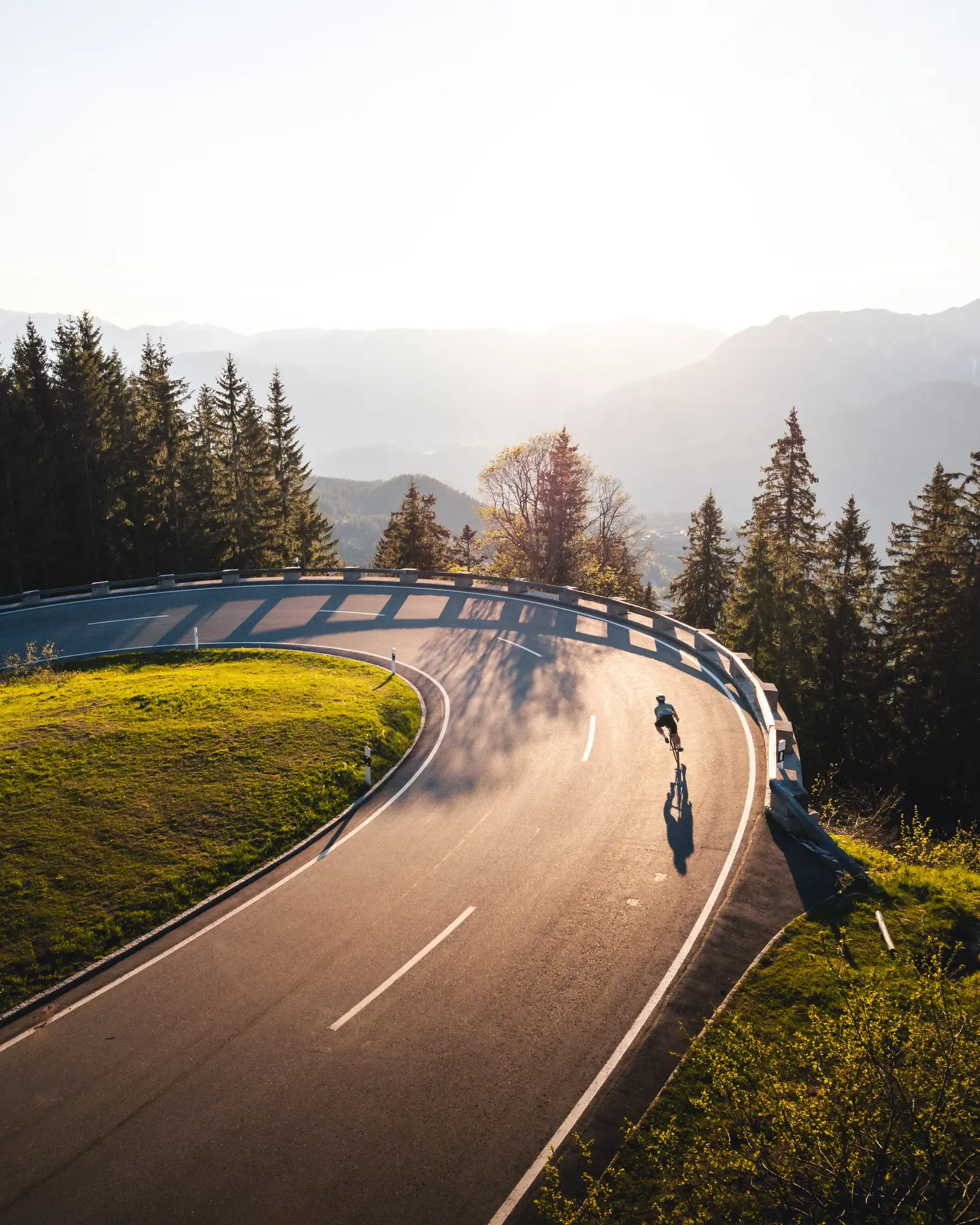
Wo der Asphalt die Berge grüßt – Mit dem Rennrad durch Bayern
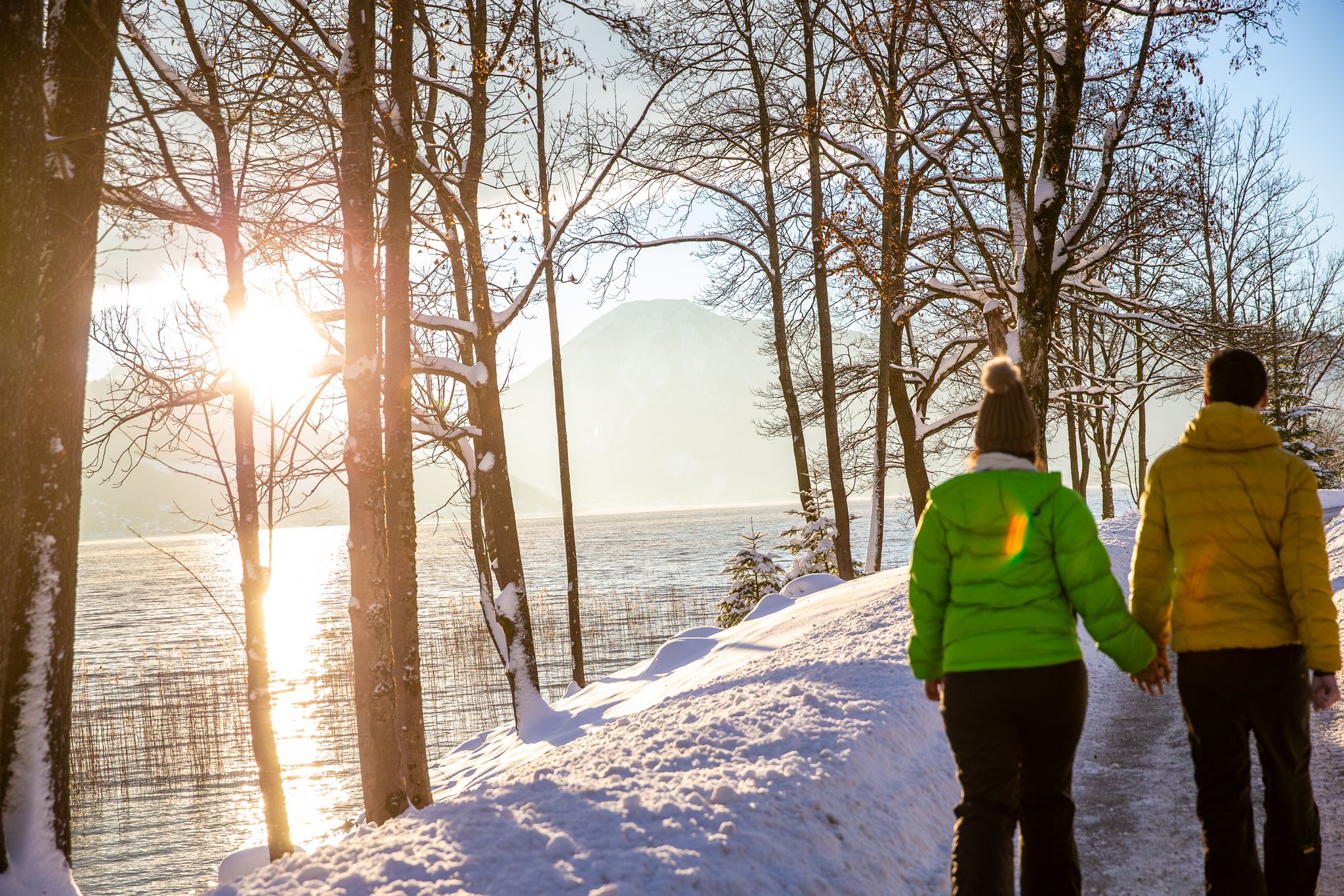
Schönste Winterwanderungen am Tegernsee
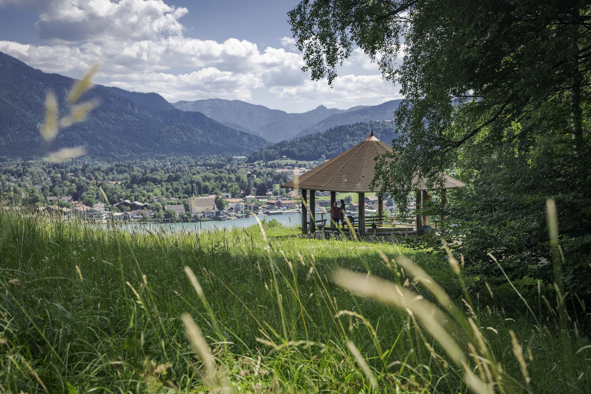
Traumaussichten – Panoramawanderungen am Tegernsee
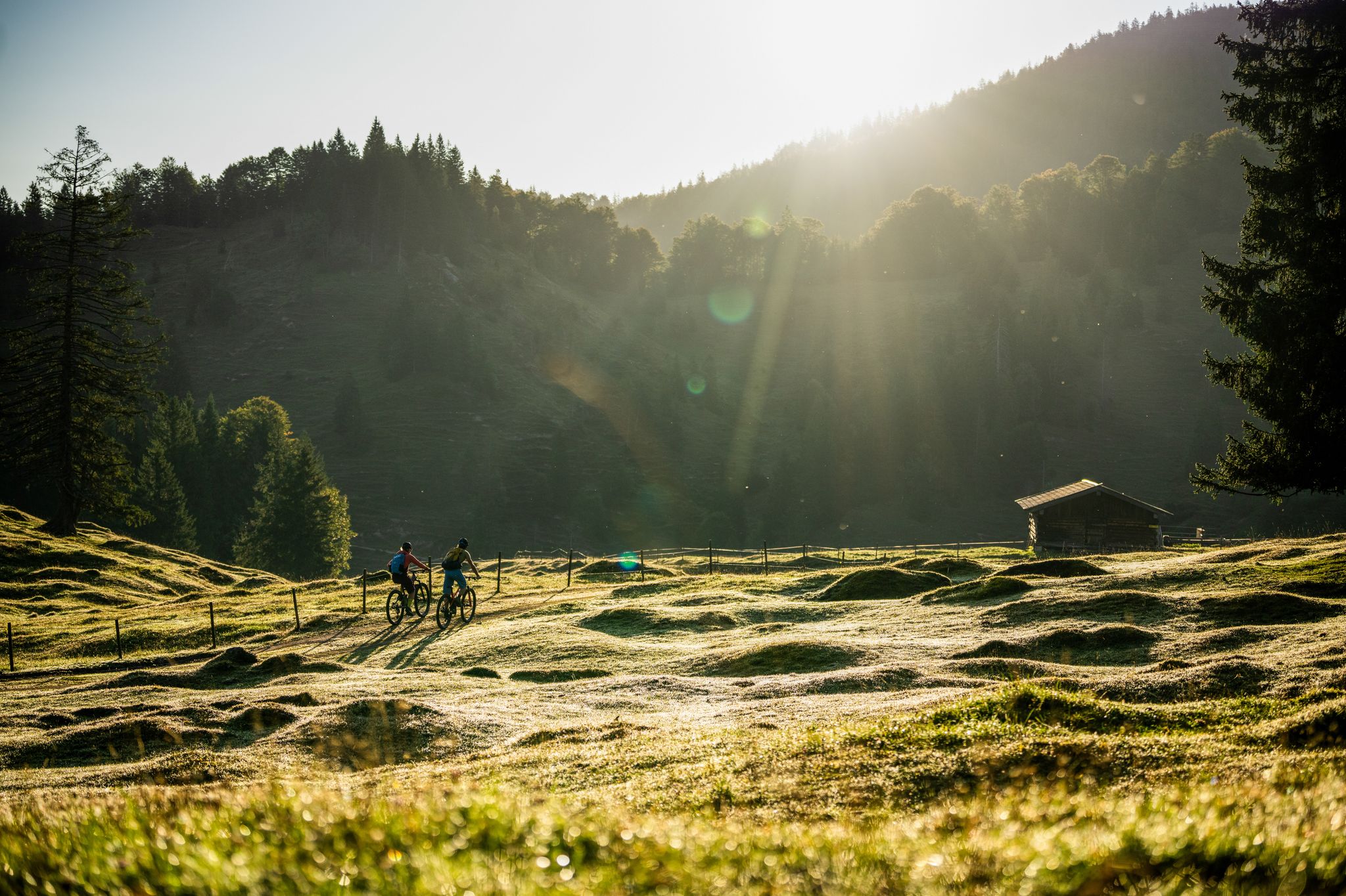
Mountainbike-Erlebnis in den Tegernseer und Kreuther Bergen
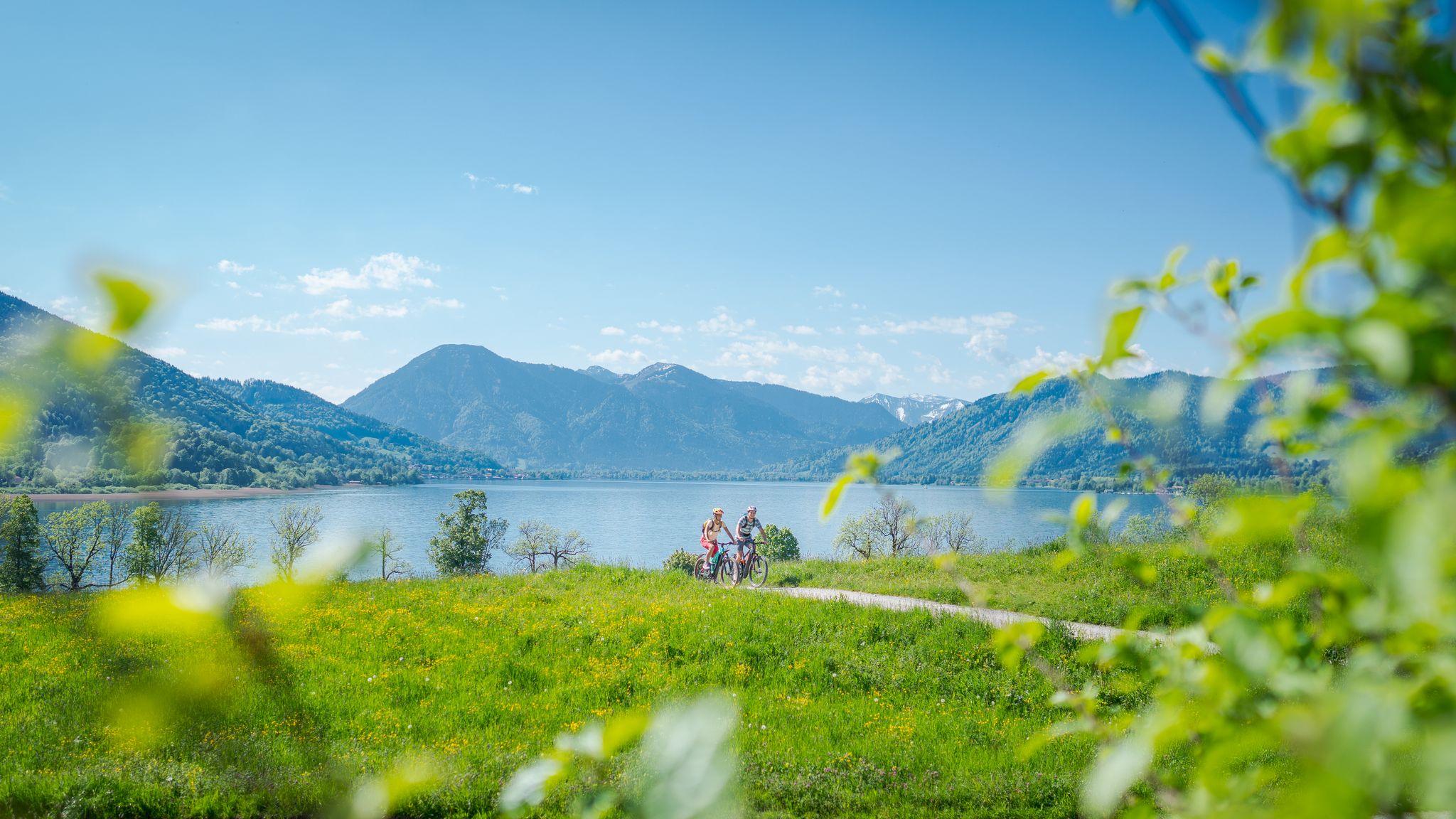
Radl-Traumtouren mit Tegernseeblick
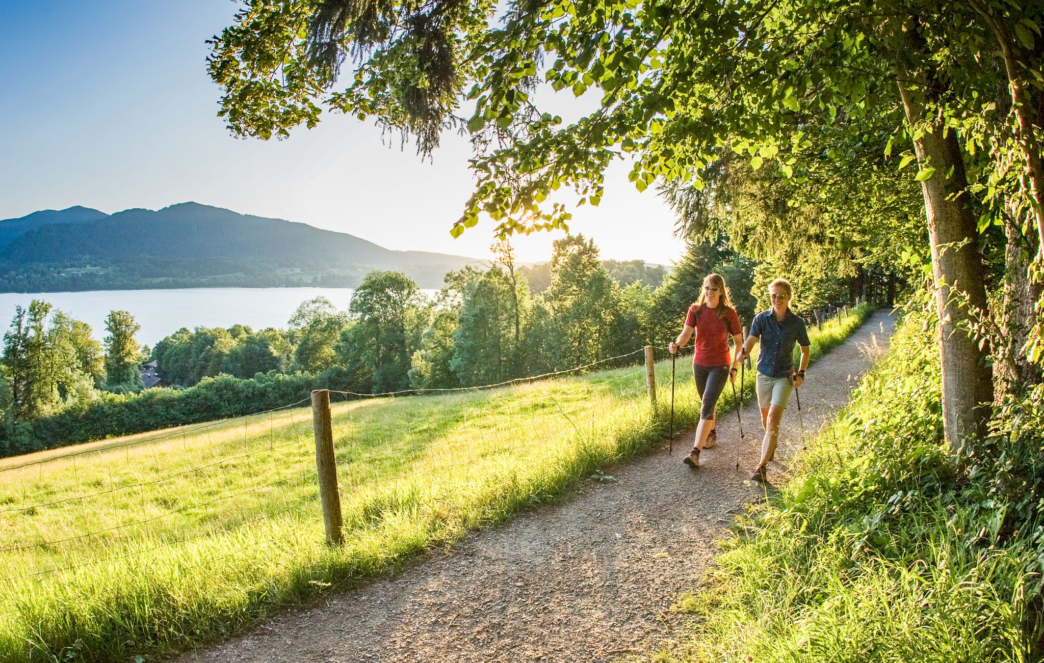
Gesunde Runden: Laufen und Nordic Walking im Heilklima am Tegernsee
그문트 암 테게른제 주변의 다른 모험


커뮤니티 팁

Kaiserschmarrn is particularly good here.
5
0

Very nice place on Schliersee, a circuit of almost 8km is worth it. To relax and enjoy. 👍🌤️📸
9
1

Beautiful terrace overlooking the Tegernsee. Great food and nice staff.
5
0

Magnificent view of the Tegernsee and the surrounding mountains.
5
0


Great landscape and lots of gastronomy. I liked this route: Holzkirchen, Kreuth 2020_07_24 https://www.komoot.de/tour/225702529
10
0

Easy, just under 8 km long circular route around the beautiful Schliersee. The circular trail around the lake is well signposted, mostly paved and right on the lake shore. Since there are almost no inclines, the Schliersee can be circumnavigated in just under 2 hours on foot and in a good half hour by bike. Source and more info www.schliersee-bayregio.de/tipps/rundweg-schliersee.php
10
0

그문트 암 테게른제 주변에서 가장 인기 있는 명소


더 살펴보기
찾고 있는 하이라이트를 아직 못 찾으셨나요? 다른 지역의 주요 명소 가이드를 확인해보세요:
