배드 베르카 최고의 사이클링 경로
4.5
(348)
1,566
자전거 타는 사람
63
라이딩
배드 베르카 최고의 사이클링 경로를 찾으시나요? 배드 베르카에서 가장 멋진 자전거 라이딩 장소를 살펴본 후에 바로 떠나보세요. 여기서 마음에 드는 경로만 고르시면 돼요!
마지막 업데이트: 9월 30, 2026
4.5
(75)
337
자전거 타는 사람
30.8km
02:02
270m
270m
보통 자전거 타기. 좋은 체력 필요. 대부분 포장된 지면. 실력과 관계없이 누구나 갈 수 있음.
5.0
(1)
24
자전거 타는 사람
13.4km
00:53
110m
110m
초급용 자전거 라이딩. 모든 체력 수준에 적합. 대부분 포장된 지면. 실력과 관계없이 누구나 갈 수 있음.

4.5
(29)
140
자전거 타는 사람
12.3km
00:48
120m
120m
초급용 자전거 라이딩. 모든 체력 수준에 적합. 대부분 포장된 지면. 실력과 관계없이 누구나 갈 수 있음.
4.7
(19)
89
자전거 타는 사람
18.9km
01:10
170m
170m
보통 자전거 타기. 좋은 체력 필요. 대부분 포장된 지면. 실력과 관계없이 누구나 갈 수 있음.
4.7
(72)
307
자전거 타는 사람
51.7km
03:09
340m
340m
보통 자전거 타기. 좋은 체력 필요. 대부분 포장된 지면. 실력과 관계없이 누구나 갈 수 있음.
더 다양한 경로와 다른 탐험가들의 추천을 살펴보세요.
이미 komoot 계정이 있나요?
투어 추천은 다른 사람들이 komoot에서 완료한 수천 개의 활동을 바탕으로 구성되어 있습니다.
오늘 무료 계정으로 시작하세요
다음 모험이 기다리고 있어요.
배드 베르카 주변의 다른 모험


커뮤니티 팁

Günni는 즉시 말썽을 일으킬 필요는 없습니다. 맞습니다. Tiefengruben이고 제 사진입니다. 저는 Milda를 지정한 적이 없으며, 이 잘못된 장소 이름이 어떻게 거기에 갔는지 모르겠습니다.
0
0

이 자전거 여행에서 유일하게 아주 멋진 자전거 도로 구간이었습니다.
1
0

It's quite an unusual bridge. Neither side is favored (red arrow), so look carefully before driving onto it.
0
0

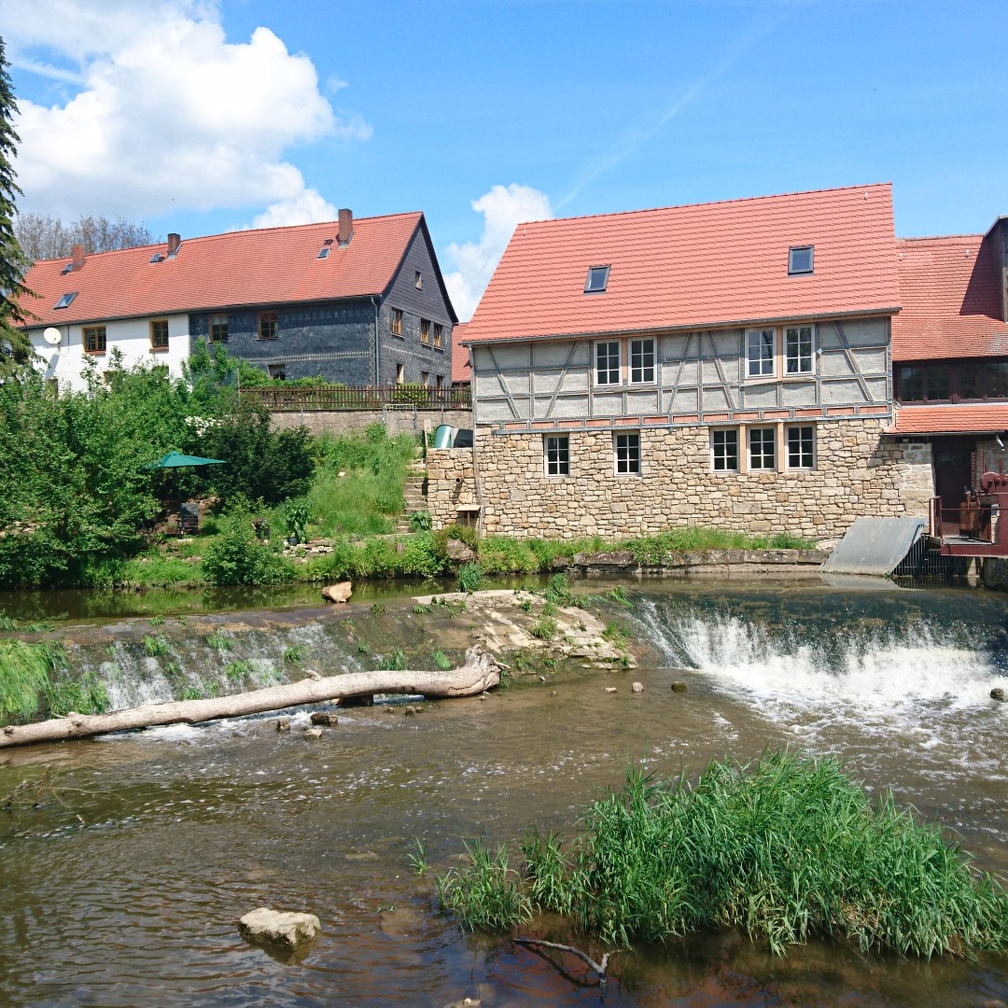
🏛️ Historical Overview - Built around 1750 as a classic watermill. - 1886: The mill burned down but was soon rebuilt. - 1905: Mill operations ceased, and the buildings were given new functions. --- 🏭 Industrial Use - Around 1900, Paul Oschatz took over the mill and founded the "Marmor- und Metallwerk Hetschburg," which initially produced artificial marble and later even explosives. - From 1915 onwards, the mill became the metal goods factory "Possin & Döpping GmbH," which produced silver-plated murals and luxury items. - Production continued until 1988, despite environmental concerns—including a 1921 study that investigated a link between the factory and an eye disease in brown trout.
1
0
🏞️ Landscape & Location - Buchfart lies directly on the Ilm River, nestled in a narrow valley with steep, wooded limestone slopes. - The surrounding area is ideal for hikes, especially to the Balsamine, a viewpoint at an altitude of 340 meters. - The Ilm River winds its way through the valley here and offers a spectacular display of colors in autumn. --- 🕰️ History - First documented mention: 1348, by the knight Lutolf von Heitingsburg. - The place name is derived from "Furt" and "Buchenwald" – hence "Buchfart." - The area was already settled in the Neolithic period, as archaeological finds confirm. - The Buchfart Castle, a castle complex in the limestone cliff above the town, is shrouded in legend and was explored by the mineralogist Georgius Agricola as early as 1551. --- 🏛️ Sights - Historic Water Mill: The Pfeiffer Mill has been lovingly restored and now houses a meeting center for millers, a farm shop, and even a small village brewery. - Ilm Bridge: An old stone bridge connects the village districts and is a popular photo opportunity. - Village Church: Simple yet charming – a place of peace and history. --- 🧙♂️ Legends & Myths - The Buchfarter Caves are the setting for numerous legends – from ghosts guarding treasures to little men who lead bricklayers into underground passages. - The Schlossberg is also shrouded in legend and offers exciting stories for curious hikers.
0
0

Great wooden bridge 🤩. But be careful, it's still busy in places.
16
0
llm의 석회암 절벽에 위치한 Buchfart 바위 성은 중부 독일 지역에서 유일한 이러한 유형의 요새이며 특별한 문화사적 중요성을 지닙니다. Orlamünde 백작의 성채입니다. 약 12세기에 llm 위로 약 110미터 길이와 40미터 높이에 걸쳐 가파른 암벽에 다양한 크기의 12개의 방이 새겨졌습니다. 이 방들은 로마네스크 양식의 성벽으로 연결되었습니다. 오늘날에도 일부 성벽 잔해와 아치형 문이 보입니다. 바위 성은 중세 후기에 군사적 중요성을 갖지 않았습니다. 그러나 오랜 백작, 공작, 선제후 가문에게는 완전히 구축된 함락 불가능한 피난처 역할을 했습니다.
19
0

Sorry, but that's the circular village of Tiefengruben! What idiot created this highlight? Milda is 21 kilometers away, located between Meckfeld and Zimmritz, not far from the A4 Bucha exit! The only thing that's correct here are the four photos!
1
0
배드 베르카 주변에서 가장 인기 있는 명소


더 살펴보기
다른 지역의 최고의 자전거 경로를 살펴보세요.
