그뢰덴 최고의 사이클링 경로
4.9
(45)
148
자전거 타는 사람
21
라이딩
자전거 여행 코스들은 완만한 지형과 낮은 고도 변화를 특징으로 하여 다양한 수준의 라이더들이 접근하기 좋습니다. 주로 평탄한 길과 지역 마을 및 명소를 연결하는 자전거 도로로 이루어져 있습니다. 이 코스들은 종종 탁 트인 지역을 통과하고 잘 정비된 자전거 도로를 따라 이어져 편안한 라이딩 경험을 제공합니다. 이 지역의 자전거 여행 네트워크는 여유로운 속도로 지역 명소와 자연 경관을 탐험할 기회를 제공합니다.
그뢰덴 주변 최고의 자전거 여행 코스
- 가장 인기 있는 자전거 여행 코스는 그뢰덴 출발 엘스터베르다 – 엘스터베르다 성 루프로, 20.3km(12.6마일) 길이이며…
마지막 업데이트: 10월 27, 2026
4.4
(22)
33
자전거 타는 사람
20.3km
01:10
40m
40m
초급용 자전거 라이딩. 대부분 포장된 노면.
4.3
(7)
17
자전거 타는 사람
18.8km
01:04
40m
40m
초급용 자전거 라이딩. 대부분 포장된 노면.

5.0
(2)
6
자전거 타는 사람
33.2km
02:06
50m
50m
보통 자전거 타기. 좋은 체력 필요. 대부분 포장된 노면.
5.0
(1)
7
자전거 타는 사람
38.7km
02:21
80m
80m
보통 자전거 타기. 좋은 체력 필요. 대부분 포장된 노면.
5.0
(2)
8
자전거 타는 사람
22.0km
01:20
30m
30m
초급용 자전거 라이딩. 대부분 포장된 노면.
더 다양한 경로와 다른 탐험가들의 추천을 살펴보세요.
이미 komoot 계정이 있나요?
투어 추천은 다른 사람들이 komoot에서 완료한 수천 개의 활동을 바탕으로 구성되어 있습니다.
오늘 무료 계정으로 시작하세요
다음 모험이 기다리고 있어요.
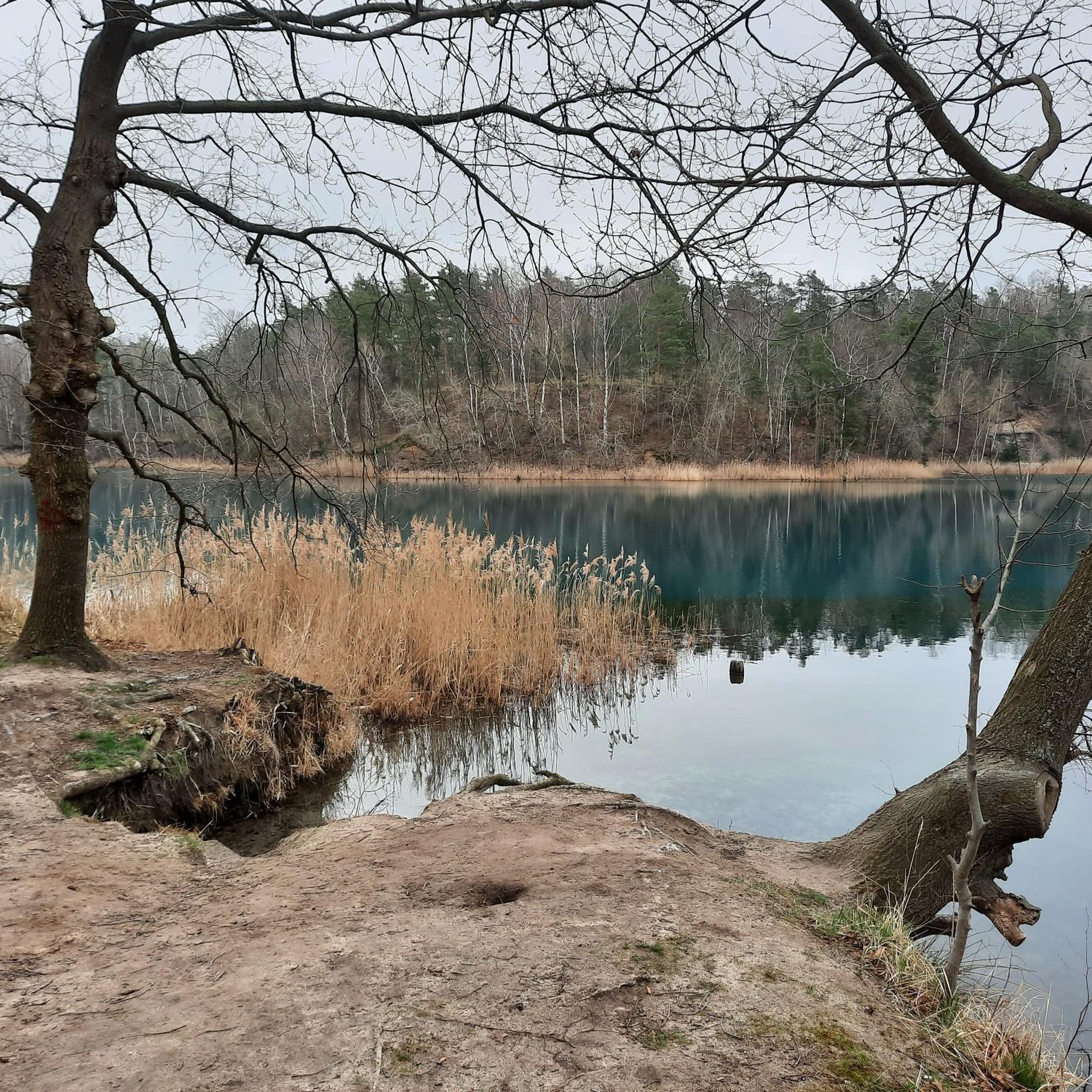
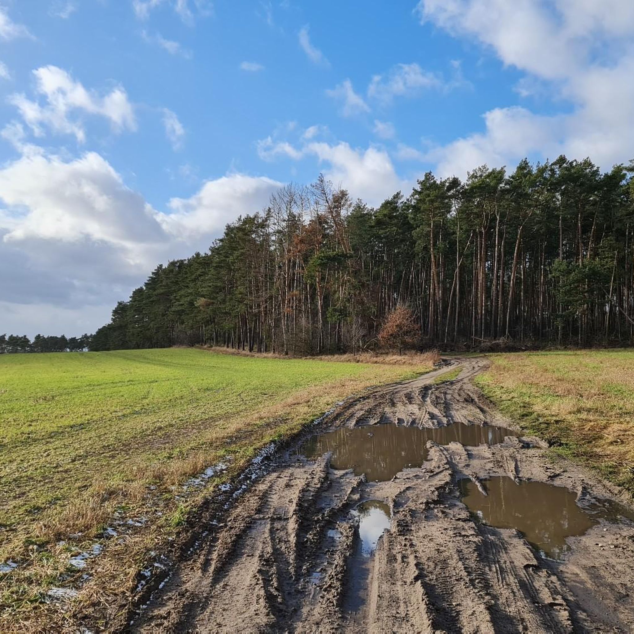
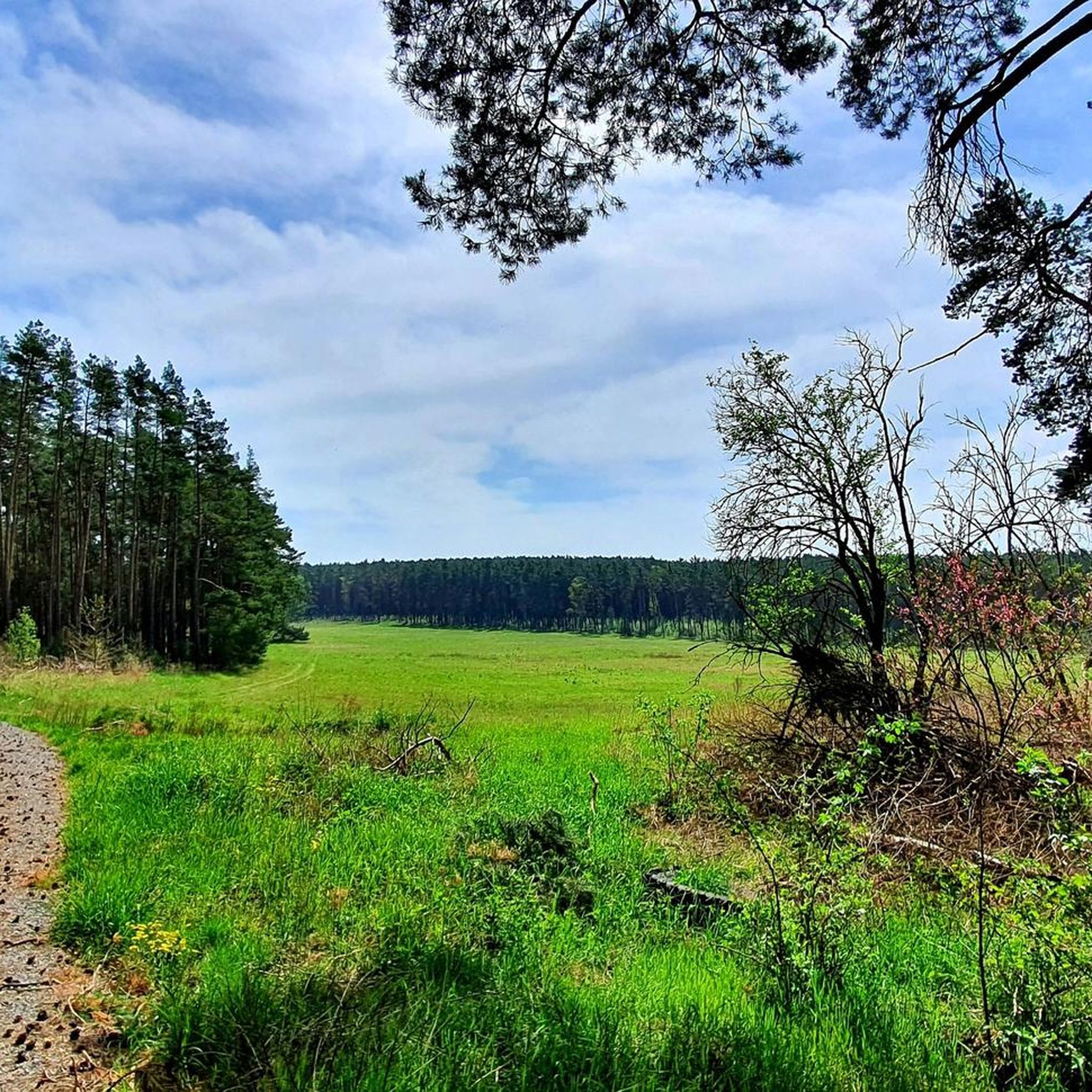
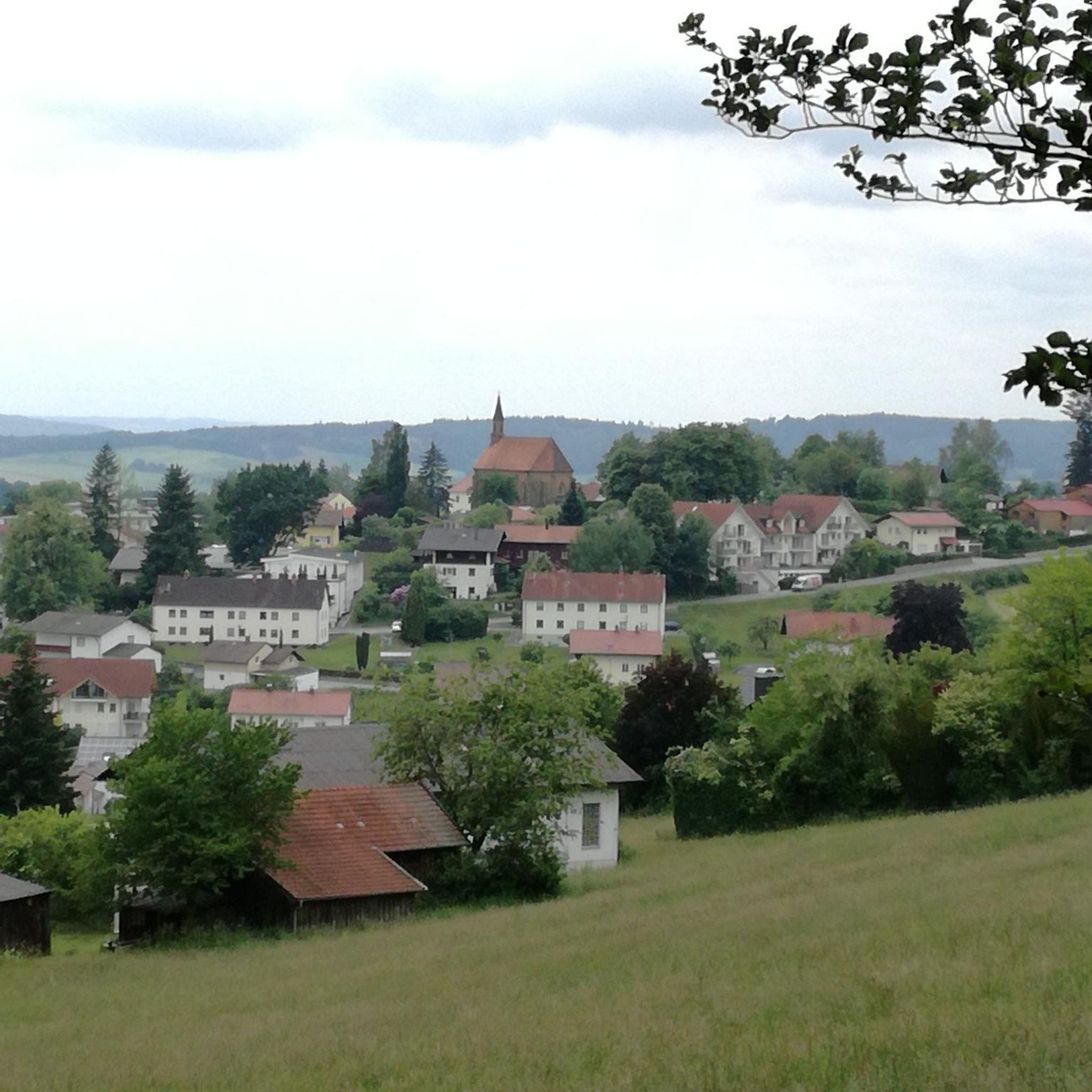
커뮤니티 팁


미니어처 공원에 있지만 외부에서도 잘 보입니다. 이 공원은 어른과 아이 모두에게 항상 방문할 가치가 있습니다.
0
0

The Black Elster Cycle Path is a 190-kilometer-long long-distance cycle route in southern Brandenburg and northern Saxony, with short sections also extending into eastern Saxony-Anhalt. The cycle path runs from the source of the Black Elster River at 317 meters above sea level to its confluence with the Elbe River at 69 meters above sea level, through the foothills of the Lusatian Mountains near Kamenz and later largely directly along the Black Elster's dike. It is marked with a magpie symbol.
0
0

The Saxon post milestone stands near the Protestant town church of St. Catherine on the main street. This distance marker, dating from 1738, is considered an important piece of cultural heritage and a landmark that shapes the townscape. In August 2025, the approximately 4.60-meter-high column was dismantled for professional restoration. https://www.elsterwerda.de/kursaechsische-postmeilensaeule-erstrahlt-im-neuen-glanz/
1
0

Beautiful, well-paved section of the Elster cycle path between Elsterwerda and Plessa
1
0
Well-paved cycle/dyke path between Eltserwerda and Plessa
2
0

The "entrance" to a beautiful, quiet cycle path.
0
0

그뢰덴 주변에서 가장 인기 있는 명소


더 살펴보기
다른 지역의 최고의 자전거 경로를 살펴보세요.
