Hackness 최고의 워킹 & 하이킹 경로
4.5
(1064)
9,694
등산객
326
하이킹
Komoot에 등록된 Hackness 내 트레일 및 경로 컬렉션 중에서 하이킹과 워킹을 가장 멋지게 즐길 수 있는 곳을 알려드릴게요. 아래에서 각 경로의 상세 정보를 모두 확인한 후, Hackness 속 자연에서 즐거운 시간을 누려보세요.
마지막 업데이트: 10월 12, 2026
4.4
(5)
15
등산객
6.85km
01:58
170m
170m
초급용 하이킹. 모든 체력 수준에 적합. 실력과 관계없이 누구나 쉽게 갈 수 있는 길.
4.5
(4)
9
등산객
10.8km
02:57
160m
160m
This moderate 6.7-mile (10.8 km) hike in North York Moors offers panoramic views from Barns Cliff End and Reasty Hill Top.

2
등산객
18.0km
04:58
310m
310m
Hike the moderate 11.2-mile Langdale Rigg End and Langdale Forest loop for diverse terrain and panoramic views in North York Moors National
1
등산객
21.3km
05:52
340m
340m
어려운 하이킹. 우수한 체력 필요. 대부분 갈 수 있는 길. 미끄러지지 않게 조심해야 함.
4.3
(6)
27
등산객
14.1km
03:58
250m
260m
보통 하이킹. 좋은 체력 필요. 실력과 관계없이 누구나 쉽게 갈 수 있는 길.
더 다양한 경로와 다른 탐험가들의 추천을 살펴보세요.
이미 komoot 계정이 있나요?
투어 추천은 다른 사람들이 komoot에서 완료한 수천 개의 활동을 바탕으로 구성되어 있습니다.
오늘 무료 계정으로 시작하세요
다음 모험이 기다리고 있어요.
커뮤니티 팁


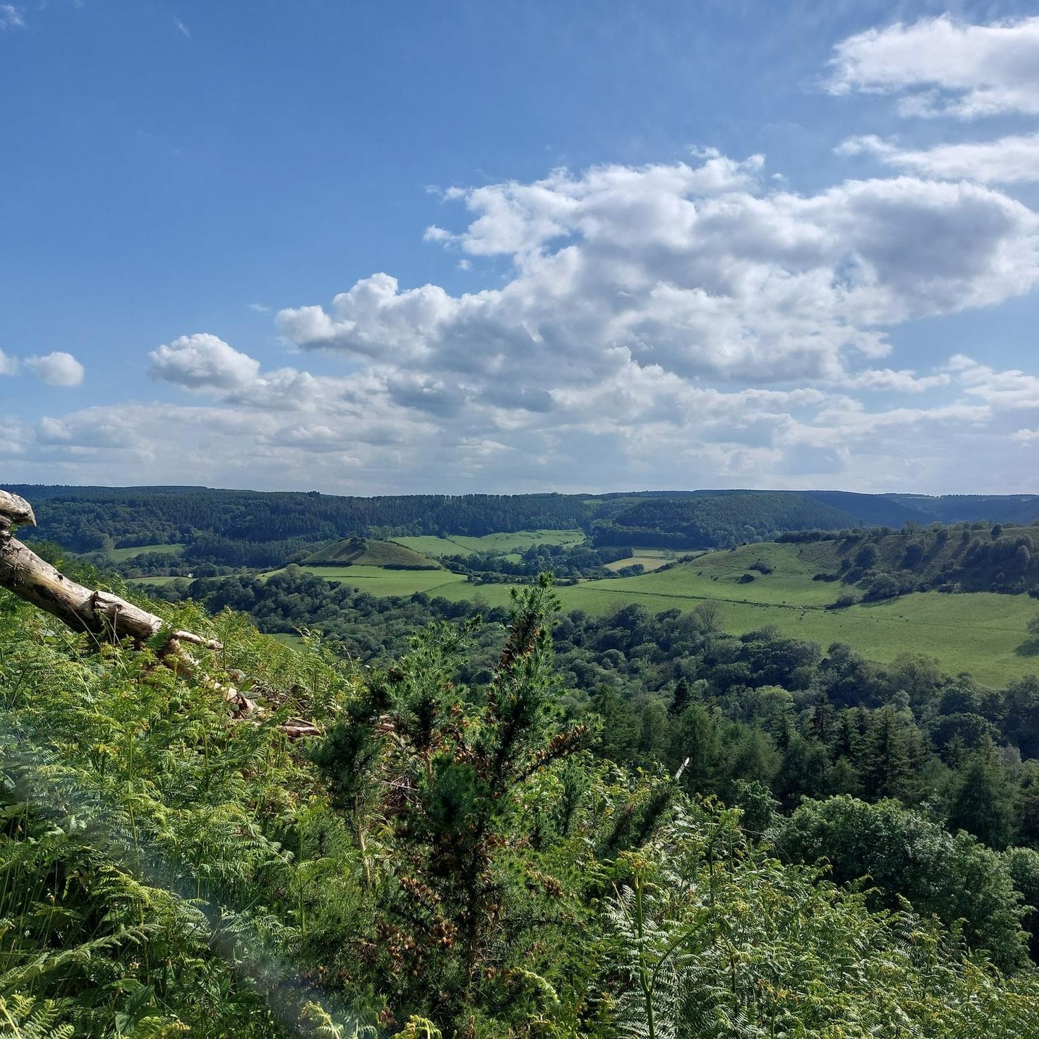
Avoid overcrowded Dalby Forest and try Broxa Forest instead, or a little further west, Langdale Forest just across the River Derwent.
1
0

nice to get up the hill and feel a breeze on a hot day
0
0
collapsed trees alert be careful
0
0
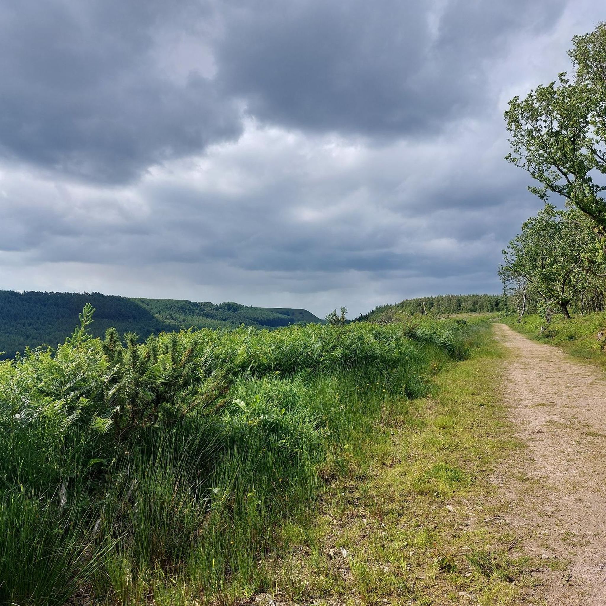
An easy track to traverse Langdale Forest, much larger and much quieter than Dalby Forest. Dalby Snout runs from Black Beck / Black Wood in the south, for nearly 3 miles up to Derwent Head Rigg, just to the east of RAF Fylingdales. Fairly gentle incline as you travel from south to north, with great views down to the south.
0
0
Actually two crossings here very close to each other. A wooden footbridge crosses Harwood Dale Beck and stepping stones are in place to cross the River Derwent. There are two sets of stepping stones, and the stones in both sets are spaced quite far apart. I chose the upstream set of stones, and had to manhandle a stone into a more stable position at the river bank to close the gap to the next stone. Probably easier if you have trekking poles.
1
0
The lower section of this trail is quite steep with lots of slippery tree roots, a bit easier going higher up. Connects Barns Cliff End with the bridge and stepping stones over Harwood Dale Beck and the River Derwent respectively.
1
0
Hackness에서 가장 인기 있는 명소


더 살펴보기
다른 지역의 최고의 하이킹를 살펴보세요.
