20의 글린데가지 명소 & 주요 장소
글린데에는 둘러볼 만한 장소가 많답니다. 하이킹 또는 사이클링을 좋아한다면 글린데에 숨겨진 20
가지 보석을 만날 수 있을 거예요. 이 지역의 주요 명소를 살펴보면서 다음 모험을 계획해보세요.
마지막 업데이트: 10월 9, 2026
칼테호페 하우프트다이크 자전거길
하이라이트 • 자전거 도로
번역자 Google •
팁에 의해

엘베 섬 칼테호페 수상 예술
하이라이트 • 기념물
번역자 Google •
팁에 의해

이런 장소를 발견하려면 지금 가입하세요
최고의 싱글 트랙, 봉우리 및 다양한 흥미로운 야외 장소에 대한 추천을 받아보세요.
마르슈반담 자전거길
하이라이트 (구간) • 자전거 도로
번역자 Google •
팁에 의해

빌베르더 부흐트 홍수 방지 제방
하이라이트 • 기념물
번역자 Google •
팁에 의해


오늘 무료 계정으로 시작하세요
다음 모험이 기다리고 있어요.
커뮤니티 팁

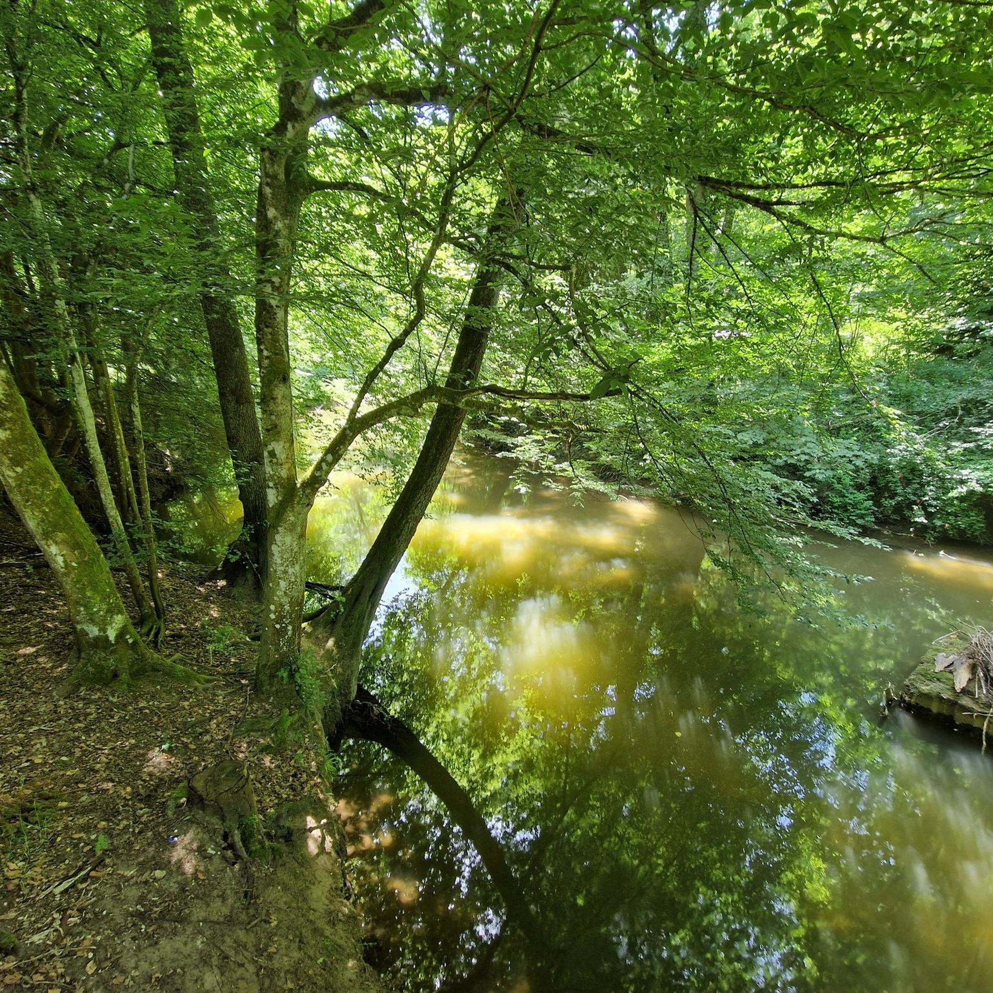
호수는 종종 폐쇄되어 있어 수영하기가 매우 어렵지만, 이곳에서 멋지게 산책할 수 있습니다. 길은 넓고 걷기 좋습니다.
0
0

imposing barrier for flood protection
5
0

I just wanted to get from HH HafenCity to Reinbek, a trail that goes through horrible industrial areas in Hamburg and Reinbek via Goggle Maps, and was surprised at how beautiful the Komoot trail was. Mostly green, water and nature reserve, few roads and only one really ugly spot.
1
0

This is where you meet them, the fast hobby racing cyclists who enjoy the end of the day on the bike.
5
0

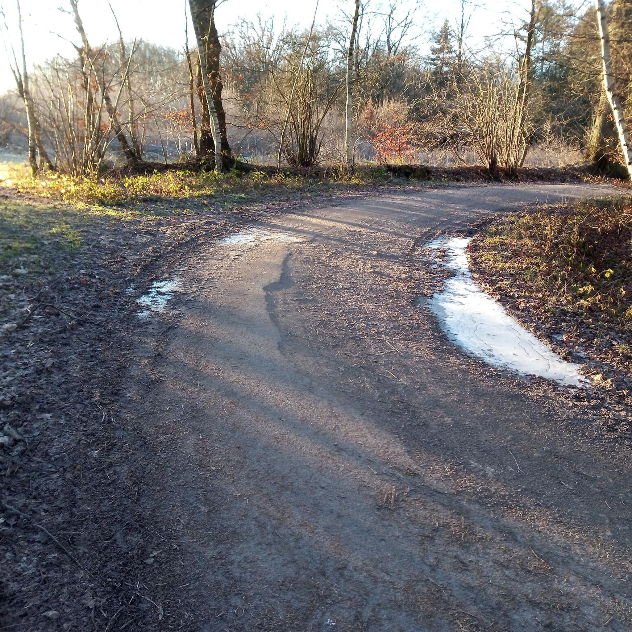
The hiking trail is frequented by many pedestrians and free-roaming dogs - at least on weekends and public holidays. Cycling is possible, but you have to be very careful. Conflicts with dog owners not excluded. Still a very nice way.
2
1

The island of Kaltehofe is bounded to the north and east by Billwerder Bay, which continues to the south in the Alte Dove Elbe (formerly connected to and part of the Dove Elbe). 125 meters to the north is the island of Billwerder Ausschlag, connected to the Billwerder Bay barrier (bridge connection). In the south-west it is separated from the Elbe island of Peute, which is part of Hamburg-Veddel, by the 230 meter wide North Elbe. The island is 1.8 km long from north-west to south-east and 520 meters wide in the central area, tapering at the ends. The area is around 60 hectares. In the south, the Kaltehofe is connected to the mainland (Elbwasserfilterwerk in Moorfleet, Billwerder Insel) via the 400 meter long and 110 meter wide main Elbe dyke. On the island is the Elbe water filtration plant built by the Hamburg Waterworks in 1893; it has been out of service since February 1990. The no longer used water basins now serve as resting and breeding grounds for birds such as the little grebe. The use and development of the Elbe island has so far failed due to unfavorable location factors and the different interests of those involved. In the north there is a small boatyard. Hamburg Wasser opened the Kaltehofe water art on September 18, 2011 on the site of the former Kaltehofe waterworks. It is considered a mixture of industrial monument, museum and nature trail.
6
0

Fast connection to the Vier- und Marschlande with almost no motorized traffic.
2
0

a nice and wide route for cycling. Connection to Hamburg in the city
8
0
글린데 주변에서 가장 인기 있는 명소


더 살펴보기
찾고 있는 하이라이트를 아직 못 찾으셨나요? 다른 지역의 주요 명소 가이드를 확인해보세요:
