니다탈에서 가장 멋진 4개의 산 정상
니다탈의 산 정상에 오르면 이 지역의 아름다운 모습을 제대로 구경할 수 있어요. 다만, 4
곳이나 되는 산 정상 중에서 어떤 곳을 가야 할 지 고민된다는 게 문제죠. 니다탈에서 가장 멋진 산 정상을 살펴본 후에 마음에 드는 산 정상을 다음 모험 계획에 추가해보세요.
마지막 업데이트: 8월 25, 2026

베터라우 시민 천문대
하이라이트 • 기념물
sternwartewetterau.de/sternwarte
번역자 Google •
팁에 의해

이런 장소를 발견하려면 지금 가입하세요
최고의 싱글 트랙, 봉우리 및 다양한 흥미로운 야외 장소에 대한 추천을 받아보세요.
무료 회원 가입
타우누스 봉우리 전망
하이라이트 • 전망대
번역자 Google •
팁에 의해


Saukopf에서의 전망
하이라이트 • 전망대
번역자 Google •
팁에 의해

오늘 무료 계정으로 시작하세요
다음 모험이 기다리고 있어요.
로그인 또는 가입하기
커뮤니티 팁


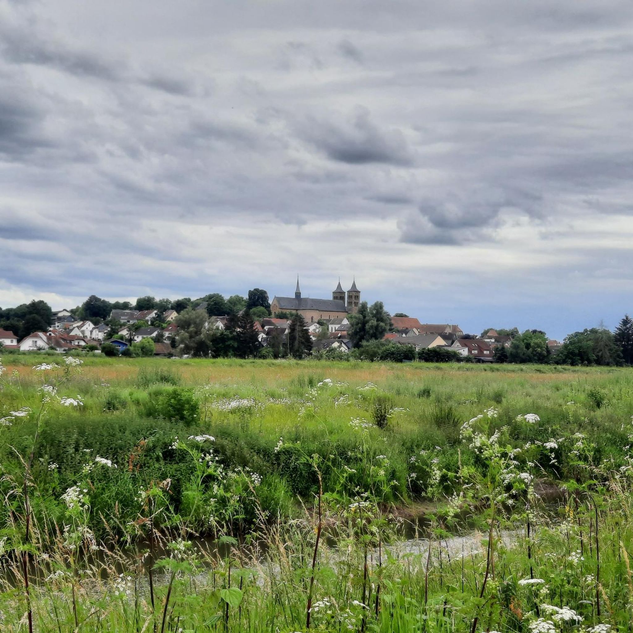
Summit on the Taunus ridge. There is no proper path leading here. Since there are hardly any trees left, it is currently a good vantage point.
0
0

Johannesberg Observation Tower - Bad Nauheim 🚴♂️ Cycling up to the Johannesberg Observation Tower via Höhenweg Street is a must-do for any Bad Nauheim tour...🚴♂️ Once you reach the top, you'll be rewarded with a unique view over Bad Nauheim, far out into the Wetterau region, all the way to the Vogelsberg and the city of Frankfurt. The tower on the Johannisberg, visible from afar, dates back to the Middle Ages and belonged to a mission church that was located on the Johannisberg from the 8th century onwards. The octagonal tower itself was probably not built until around 1300. During the Reformation, however, the church was abandoned and quickly fell into disrepair. Only the church tower survived in its foundations and was converted into an observation tower in 1866. Since 1965, the tower has housed the public observatory. Bad Nauheim's local mountain is 268 meters high. Due to its outstanding location, the Johannisberg was a place of worship for pagan, Celtic, and Germanic customs long before Christianity. Archaeological finds indicate settlement as early as the Stone and Bronze Ages. The hill is also home to the listed Café Restaurant Johannisberg, a traditional inn that was once visited by Empress Elisabeth of Austria during her spa stay. 🚴♂️ https://www.bad-nauheim.de/de/erlebnisreich/sehenswertes/johannisberg-roemischer-signalturm
2
1

In Roman times there was a signal tower here from the 2nd century, which belonged to the Upper Germanic Limes system. Structurally, it resembled a Limes watchtower. It was probably used to transmit optical signals from the Limes to Friedberg Castle, which had no direct line of sight to the nearest Limes watchtower on the Gaulskopf. There were other rear watchtowers of this type on the Kapellenberg near Hofheim and near Wölfersheim-Wohnbach. The remains of the Roman signal tower were restored in 2010 and it was also made clear which parts are original and which are additions. This Roman tower should not be confused with the tower still standing today, the base of which dates from around 1300. The octagonal tower was part of the westwork of the church of a medieval monastery, which goes back to a mission church that is said to have been built here in 779. This St. John's Church is considered the baptismal and mother church and original parish of the entire northern Wetterau. The right of patronage to the church was transferred to the Mainz cathedral chapter in 1254 by Ulrich II von Münzenberg.
4
1

A fine example for citizens. The lectures are absolutely worth seeing!
3
2

Nice little tower he is sleepy on the planet path.
3
2

The Planetary Trail, with the observatory as its destination, is a walkable model of our solar system on a reduced scale. Walkers here cover "galactic" distances, with one step corresponding to a distance of 2.8 million kilometers.
6
2

Feldberg but also the skyline 🏙 of Frankfurt were good to see today
1
0
니다탈 주변에서 가장 인기 있는 명소


더 살펴보기
이 가이드를 통해 니다탈 주변의 더 놀라운 정상들을 확인해보세요:
