글라우샤우 최고의 워킹 & 하이킹 경로
4.6
(2175)
6,992
등산객
288
하이킹
Komoot에 등록된 글라우샤우 내 트레일 및 경로 컬렉션 중에서 하이킹과 워킹을 가장 멋지게 즐길 수 있는 곳을 알려드릴게요. 아래에서 각 경로의 상세 정보를 모두 확인한 후, 글라우샤우 속 자연에서 즐거운 시간을 누려보세요.
마지막 업데이트: 10월 12, 2026
4.8
(213)
735
등산객
5.20km
01:21
30m
30m
초급용 하이킹. 모든 체력 수준에 적합. 실력과 관계없이 누구나 쉽게 갈 수 있는 길.
4.8
(154)
373
등산객
15.3km
04:05
180m
180m
보통 하이킹. 좋은 체력 필요. 실력과 관계없이 누구나 쉽게 갈 수 있는 길.

4.7
(72)
255
등산객
11.4km
02:54
40m
40m
보통 하이킹. 좋은 체력 필요. 실력과 관계없이 누구나 쉽게 갈 수 있는 길.
4.7
(76)
264
등산객
9.26km
02:21
30m
30m
보통 하이킹. 좋은 체력 필요. 실력과 관계없이 누구나 쉽게 갈 수 있는 길.
4.9
(74)
164
등산객
11.0km
02:55
110m
110m
보통 하이킹. 좋은 체력 필요. 실력과 관계없이 누구나 쉽게 갈 수 있는 길.
더 다양한 경로와 다른 탐험가들의 추천을 살펴보세요.
이미 komoot 계정이 있나요?
투어 추천은 다른 사람들이 komoot에서 완료한 수천 개의 활동을 바탕으로 구성되어 있습니다.
오늘 무료 계정으로 시작하세요
다음 모험이 기다리고 있어요.

글라우샤우 주변의 다른 모험

커뮤니티 팁

사진으로 판단하건대, 정보 게시판이 새로워졌습니다. 저수지 주변에서 3개를 보았습니다.
0
0


The Stone Cow (next to an information panel and visitor's book) in the Rümpfwald forest. Information: An approximately 200-million-year-old silicified tuff agglomerate of volcanic origin, which took on its present form through weathering processes during the Cretaceous and Tertiary periods. Geological investigations have determined that it is not an artificial formation, but rather a natural one.
1
1


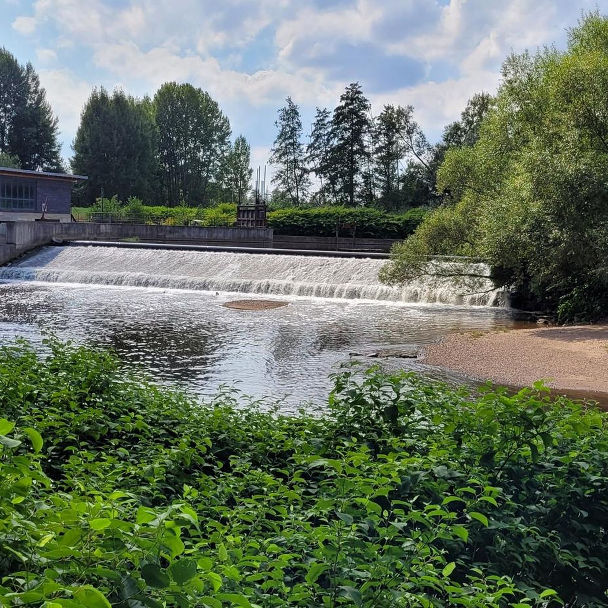
Dam of the Zwickauer Mulde near Wernsdorf.
0
0


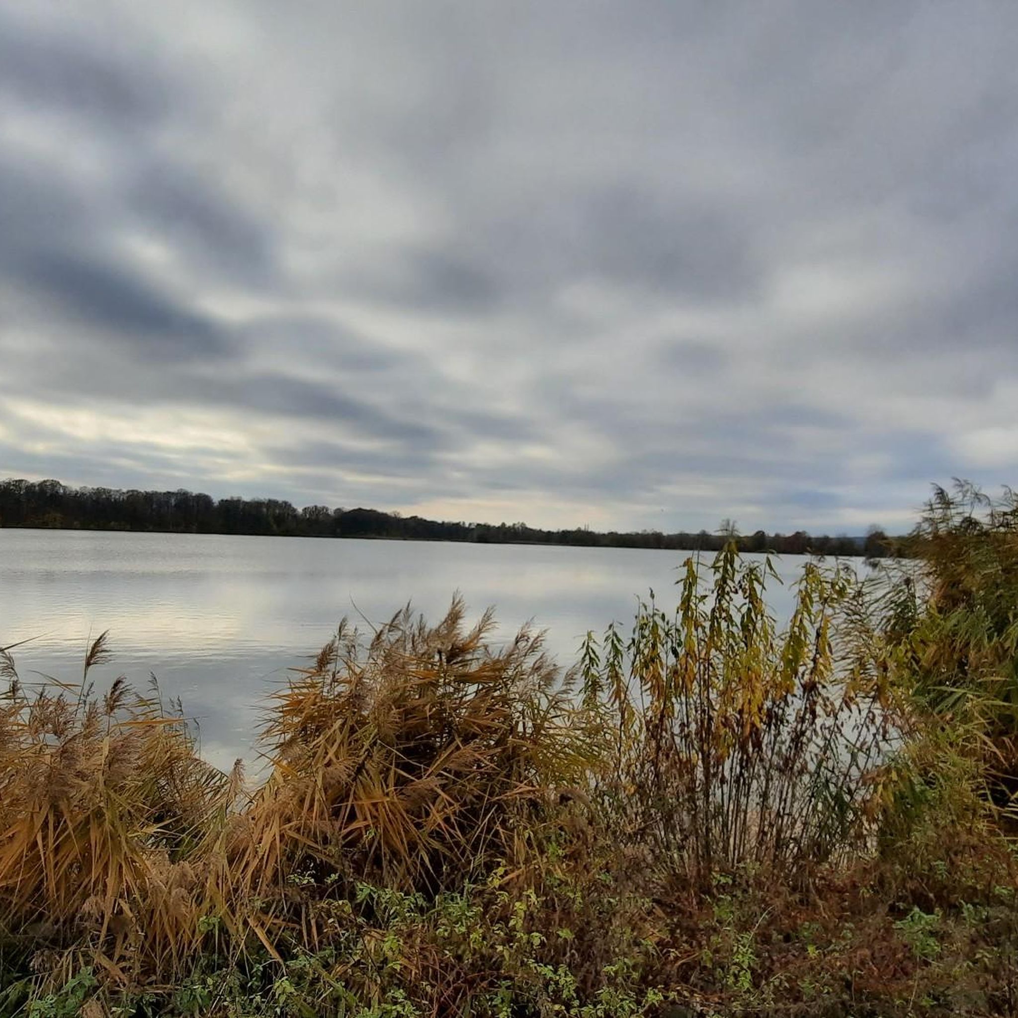
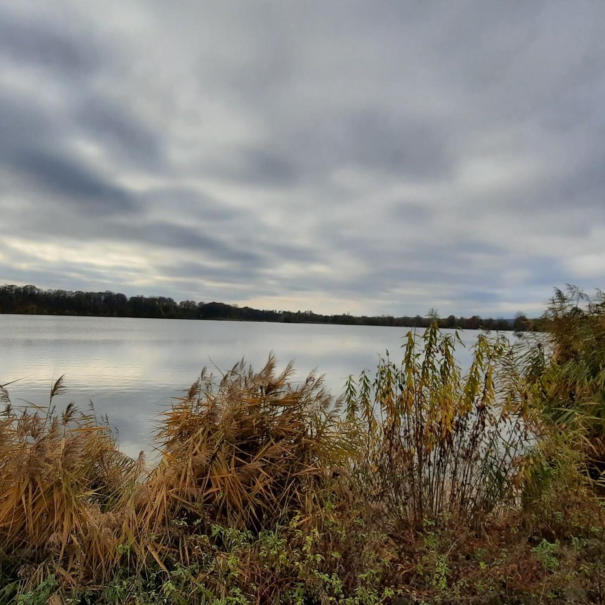
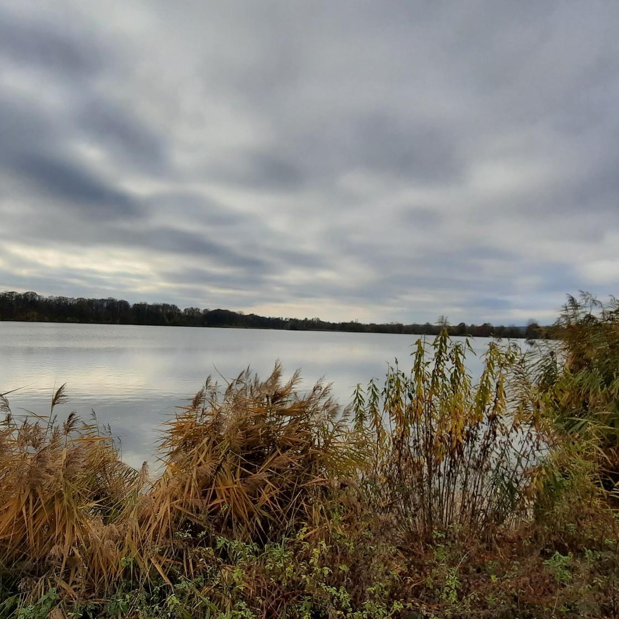
Very beautiful lake. Lots of grey herons there. Nice for a walk or bike ride.
1
0

The reservoir, whose construction began in 1936, is located on the site of the former Naundorf Meadows, a typical Mulde floodplain. They were enclosed by a river and a slope on the right side of the Mulde valley between the Schindmaas weir and the town of Glauchau. The Naundorf Meadows were named after a village located on this site in the 13th century. However, the inhabitants probably moved away due to the unfavorable location, exposed to flooding from the Mulde River, and later settled elsewhere.
12
0
글라우샤우 주변에서 가장 인기 있는 명소


더 살펴보기
다른 지역의 최고의 하이킹를 살펴보세요.
