Sameice 최고의 러닝 경로
4.0
(3)
50
달리기 하는 사람
10
러닝
Sameice에서 하이킹하며 구아르다 구석 부분까지 살펴볼까요? Sameice에 있는 모든 하이킹 및 워킹 경로 컬렉션 중 가장 멋진 하이킹 경로를 엄선하여 소개해드릴게요. 다른 하이커가 공유한 실제 팁과 사진을 살펴보고 후기를 읽으며 마음에 드는 Sameice 워킹 경로를 찾아보세요.
마지막 업데이트: 10월 11, 2026
8
달리기 하는 사람
57.0km
08:32
2,990m
3,050m
어려운 조깅. 우수한 체력 필요. 대부분 포장된 지면. 실력과 관계없이 누구나 갈 수 있음.
8
달리기 하는 사람
9.42km
01:01
170m
170m
보통 조깅. 좋은 체력 필요. 대부분 포장된 지면. 실력과 관계없이 누구나 갈 수 있음.

6
달리기 하는 사람
22.5km
03:02
840m
840m
어려운 조깅. 우수한 체력 필요. 대부분 포장된 지면. 실력과 관계없이 누구나 갈 수 있음.
4.0
(1)
6
달리기 하는 사람
8.82km
01:04
240m
240m
보통 조깅. 좋은 체력 필요. 대부분 포장된 지면. 실력과 관계없이 누구나 갈 수 있음.
3
달리기 하는 사람
11.1km
01:18
180m
180m
보통 조깅. 좋은 체력 필요. 대부분 포장된 지면. 실력과 관계없이 누구나 갈 수 있음.
더 다양한 경로와 다른 탐험가들의 추천을 살펴보세요.
이미 komoot 계정이 있나요?
투어 추천은 다른 사람들이 komoot에서 완료한 수천 개의 활동을 바탕으로 구성되어 있습니다.
오늘 무료 계정으로 시작하세요
다음 모험이 기다리고 있어요.
Sameice 주변 인기 장소
커뮤니티 팁

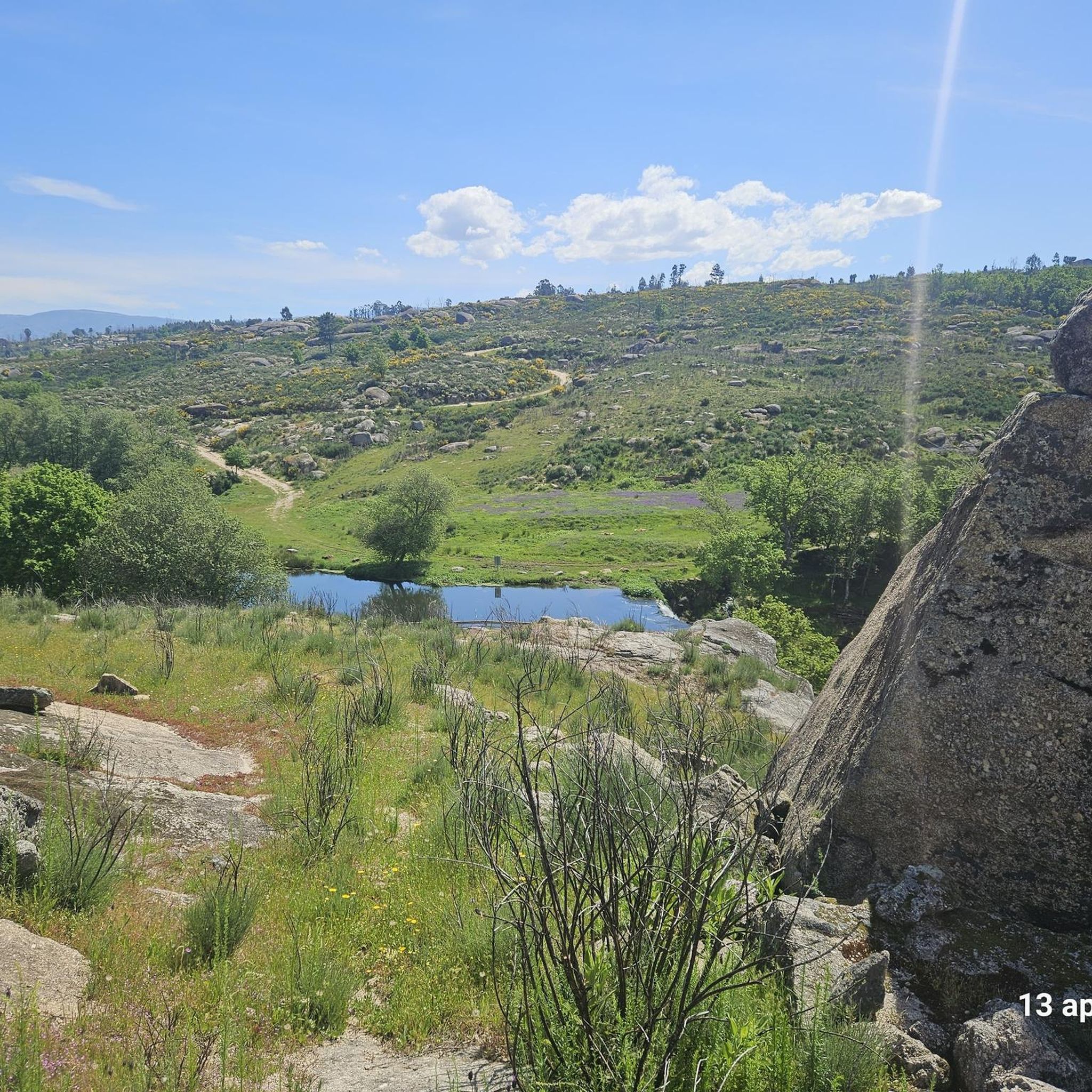
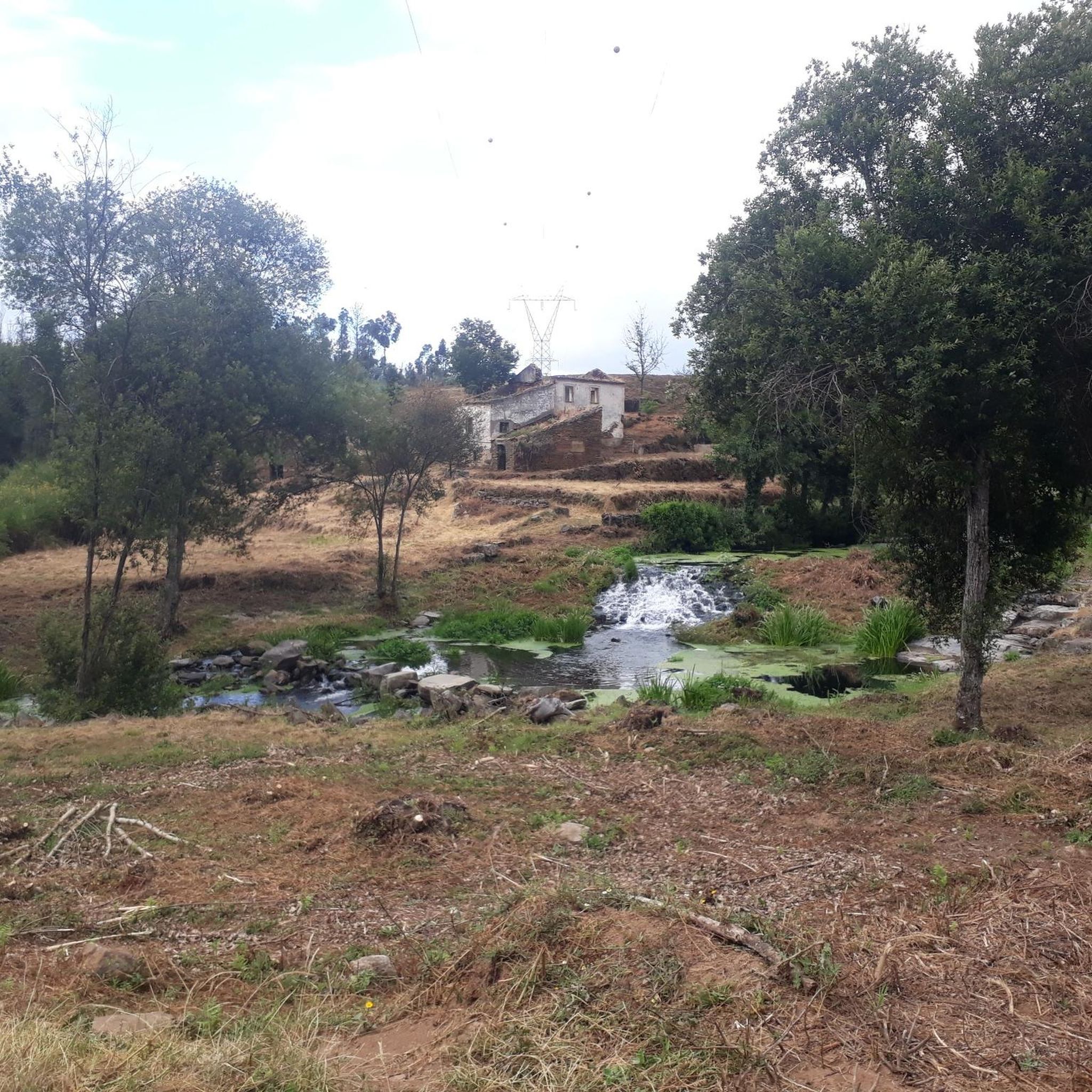
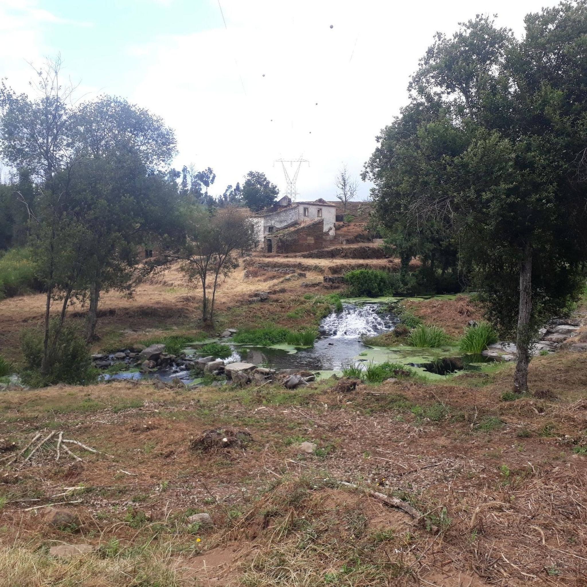
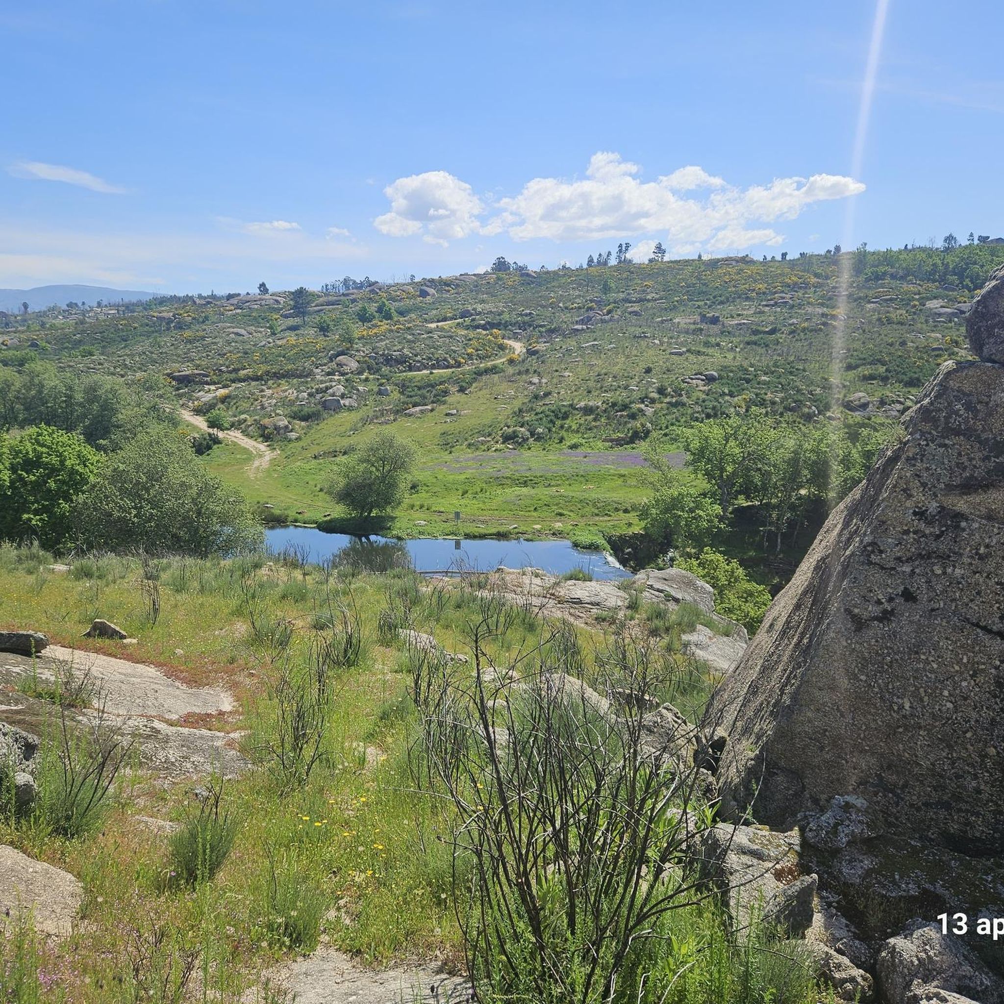
The Lapa dos Dinheiros river beach is in perfect harmony with nature. Located in the parish of Lapa dos Dinheiros, on the Caniça River, a right-bank tributary of the Alva River, this bathing area is nestled in a mountainous landscape dominated by the Lapa Souto (south of Lapa) and imposing granite outcrops. With clear water, very appealing for swimming, the beach boasts the award for accessible beach and has lifeguards and a bar available to visitors. The rugged terrain of the valley causes the river to form a succession of small waterfalls nearby. The Lapa Souto, in addition to its valuable collection of centuries-old chestnut trees, is also home to a high level of biodiversity. From the bridge, a pedestrian path leads to the Moura Hole and a viewpoint over the Caniça Waterfalls. The Buraco da Moura is a natural cave system created by the sliding and accumulation of large granite blocks, which formed a complex system of rooms and galleries. How to get there? Once in Seia, follow the EN231 to S. Romão. From there, continue uphill for about 5 km, toward Loriga/Lapa, until you find the sign for Lapa dos Dinheiros on the left. Once inside the town, simply follow the beach signs. Coordinates: 40º 23′ 07.0″ N / 7º 41′ 50.1″ W
1
0

The Sanctuary of Our Lady of Desterro stands on the banks of the Alva River as an authentic path of faith, marked by ten chapels built over more than two centuries, between 1650 and 1892. Near the village, nature itself left its masterpiece: a curious rock, sculpted by time, that resembles the head of an old woman watching over the mountains.
0
0

The Serra da Estrela Natural Park is something truly special. This 1,000-square-kilometer park, spread across six municipalities, was the first and currently the largest protected natural park in Portugal. It is home to the highest point on the Portuguese mainland, the country's only ski slope, the source of two important rivers, and a fascinating, alpine-like landscape formed by glaciers.
5
1

At exactly 1993 meters above sea level, Torre is the highest point in mainland Portugal, where the only ski resort is located. The landscape on the upper plateau of the Serra da Estrela is like a sprinkling of granite rocks over low scrub and patches of snow and ice, which the sun threatens to melt soon in the summer and which always returns the following winter. In winter, it sometimes becomes inaccessible.
6
0
Nestled on the banks of the Caniça river, a tributary of the Alva river, this beach area is a haven in the middle of a mountainous landscape, where ancient chestnut trees and granite blocks shape the scenery. The crystal-clear, inviting water is perfect for a refreshing dip. The beach, which has been awarded the title of accessible, has lifeguards and a bar, making the experience even more enjoyable.
3
0

We were lucky with the weather, bright sunshine. There was still a lot of snow in May, children were able to borrow a bobsleigh and play in the snow. At a cool 8°C!!
10
3

It´s the highest point in Portugal (continental)
4
0

The highest point in mainland Portugal. A road leads directly up, so the landscape is not particularly beautiful.
3
1
Sameice에서 가장 인기 있는 경로
Sameice에서 가장 인기 있는 명소


더 살펴보기
다른 지역의 최고의 러닝 트레일 & 경로를 살펴보세요.
