그린젠에서 가장 멋진 20개의 산길
그린젠에서 가장 멋진 산길을 아래에서 살펴보세요. 풍경을 감상하기에도 좋고, 오르막길/내리막길을 따라 걷기에도 좋은 곳이랍니다. 커뮤니티가 특별 도움을 통해 공유한 콘텐츠인 만큼 믿을 수 있는 정보이니 마음에 드는 산길이 있다면 바로 다음 모험 계획에 추가해서 바로 방문해보세요.
마지막 업데이트: 10월 13, 2026
Frau Hitt-Jöchl
하이라이트 • 산악 고개
번역자 Google •
팁에 의해


이런 장소를 발견하려면 지금 가입하세요
최고의 싱글 트랙, 봉우리 및 다양한 흥미로운 야외 장소에 대한 추천을 받아보세요.


브레너 고개 북쪽 오르막
하이라이트 (구간) • 산악 고개
번역자 Google •
팁에 의해

무료로 가입하여 그린젠 주변의 더 많은 산악 고개를 발견하세요.
이미 komoot 계정이 있나요?
오늘 무료 계정으로 시작하세요
다음 모험이 기다리고 있어요.
그린젠 주변 인기 장소
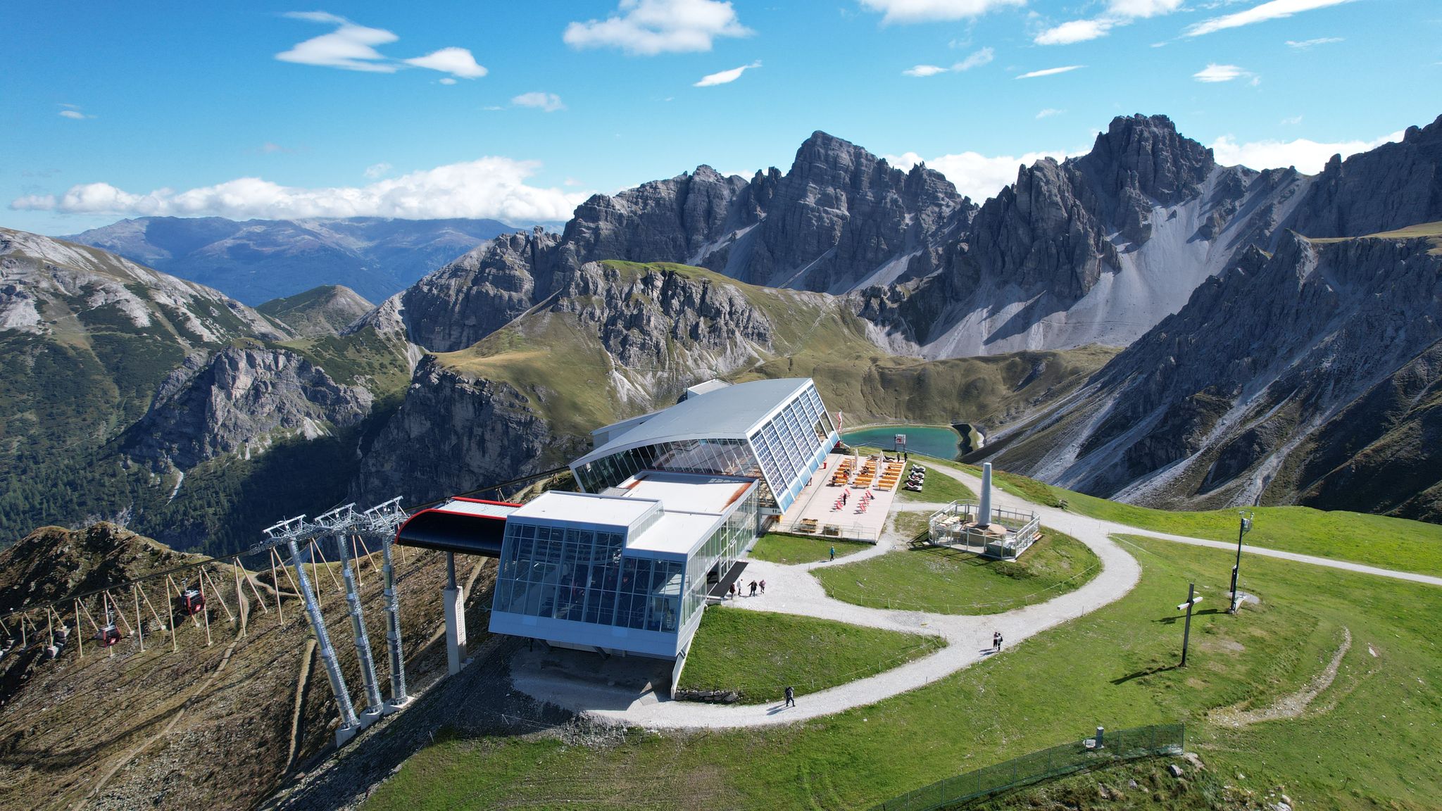
In the ‘Dolomites of North Tyrol’ – hiking in Axamer Lizum
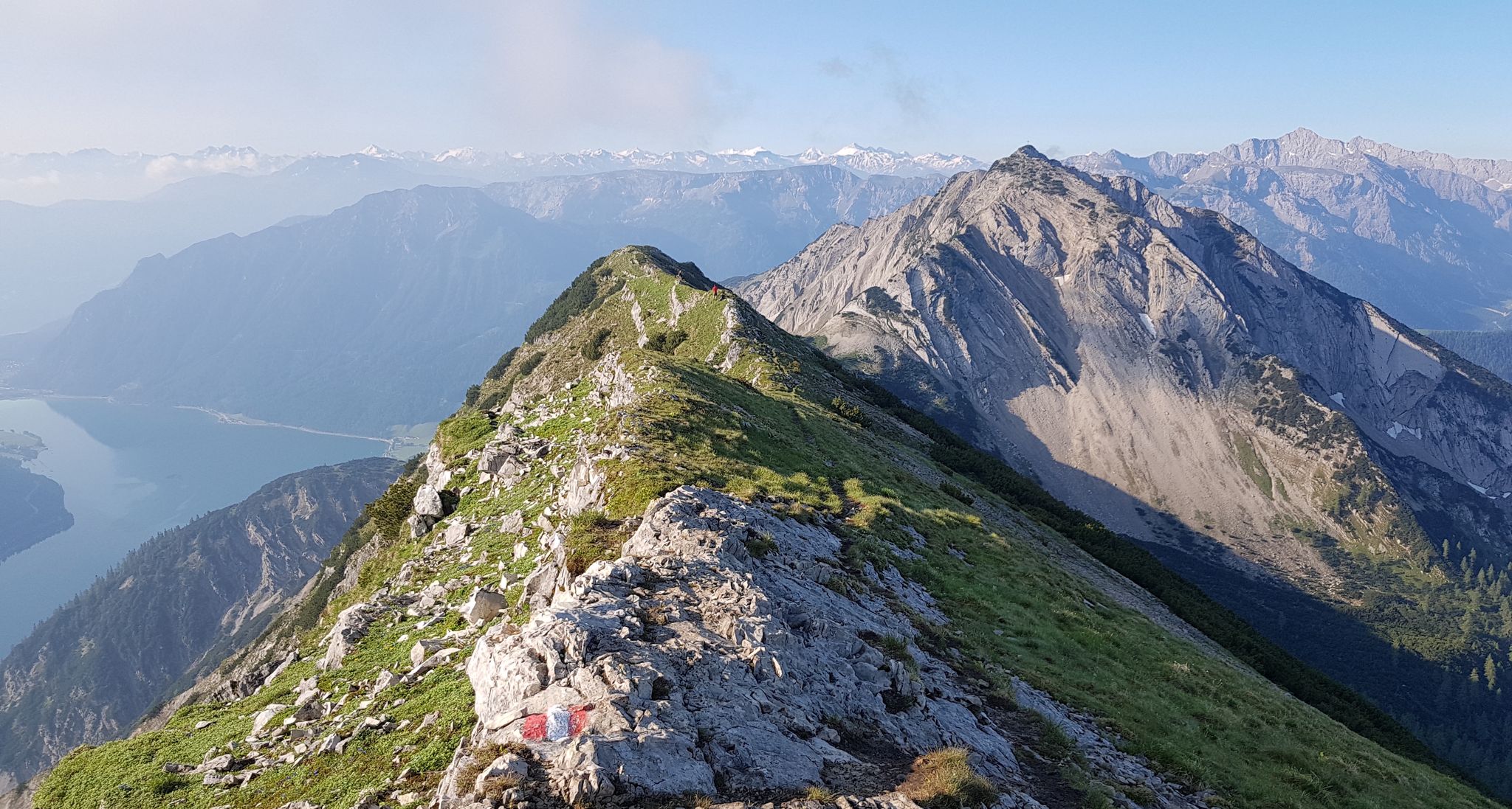
타이롤의 놀라운 십일꼭대기 걸음걸이 일곱
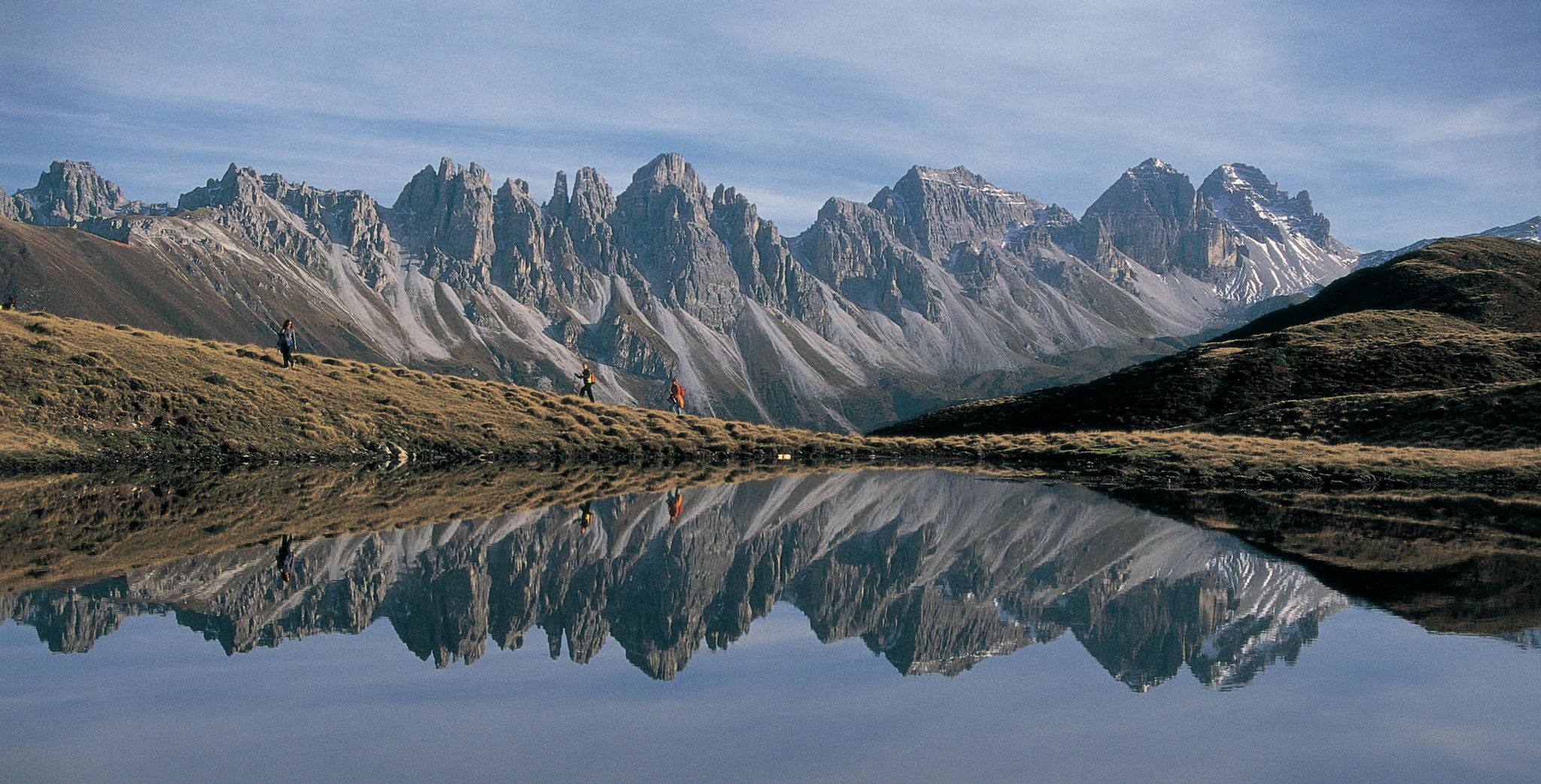
Leaving the city & up into the mountains – hiking around Innsbruck
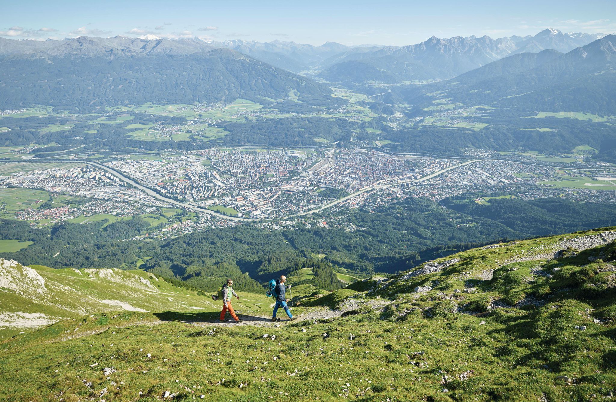
High mountains and city life – unique hiking experiences around Innsbruck
De stad uit, de bergen in – Wandelen rond Innsbruck
그린젠 하이킹
그린젠 로드 사이클링 경로
그린젠 MTB 트레일
그린젠 사이클링
그린젠 등산
그린젠 주변의 다른 모험


커뮤니티 팁

Long climb with mostly moderate gradient.
0
0

One of many ways to cycle up the Brenner Pass: Starting from Innsbruck, you'll cover a total of 36.4 kilometers on your way up. The route is relatively pleasant on asphalt, with an average gradient of 2.2 percent. A plus for Alpine lovers: You'll cycle through picturesque Tyrolean villages time and again.
0
0

The Zwölfernieder is a 2,300-meter-high pass below the Elferspitze. It connects the Pinnistal with the Stubai Valley.
2
0

Very worth seeing, you have to see it
0
1

The Frau Hitt-Jöchl is an impressive pass in the Karwendel Mountains, known for its striking rocky peak that resembles a female figure. Here you can enjoy breathtaking views of Innsbruck and the surrounding Inn Valley as well as the imposing peaks of the Karwendel Mountains.
1
1

What is missing on the ascent to Kühtai - the serpentines - is an advantage on the descent. Here you can really let your hair down. Be careful with the pasture grates. It is a good idea to have lights in the tunnels.
4
0

Great going downhill, we recommend going uphill via the Roman road (Igls-Matrei) - significantly less traffic
2
1

Distance: 36.8km with 827m of gradient at 2.1% average slope. A very long climb that goes up the entire valley from Insbruck to the border with Italy in the famous and historic Brenner Pass. It is a climb to enjoy the Austrian landscapes of Tyrol and the tranquility of the roads. Although it seemed very tedious to me before doing it, I have to admit that it was very enjoyable and I really enjoyed it with my friend Jon Uncilla. I attach the link of @cyclingcols so you can see the profile in detail -- http://www.cyclingcols.com/col/Brenner_Brennero
1
0


더 살펴보기
이 가이드를 통해 더 많은 장대한 산악 통과를 확인해보세요 그린젠 주변:
