마구간에서 가장 멋진 20개의 산 정상
마구간의 산 정상에 오르면 이 지역의 아름다운 모습을 제대로 구경할 수 있어요. 다만, 20
곳이나 되는 산 정상 중에서 어떤 곳을 가야 할 지 고민된다는 게 문제죠. 마구간에서 가장 멋진 산 정상을 살펴본 후에 마음에 드는 산 정상을 다음 모험 계획에 추가해보세요.
마지막 업데이트: 8월 31, 2026

샤르닉 정상 (2,657m)
하이라이트 • 정상
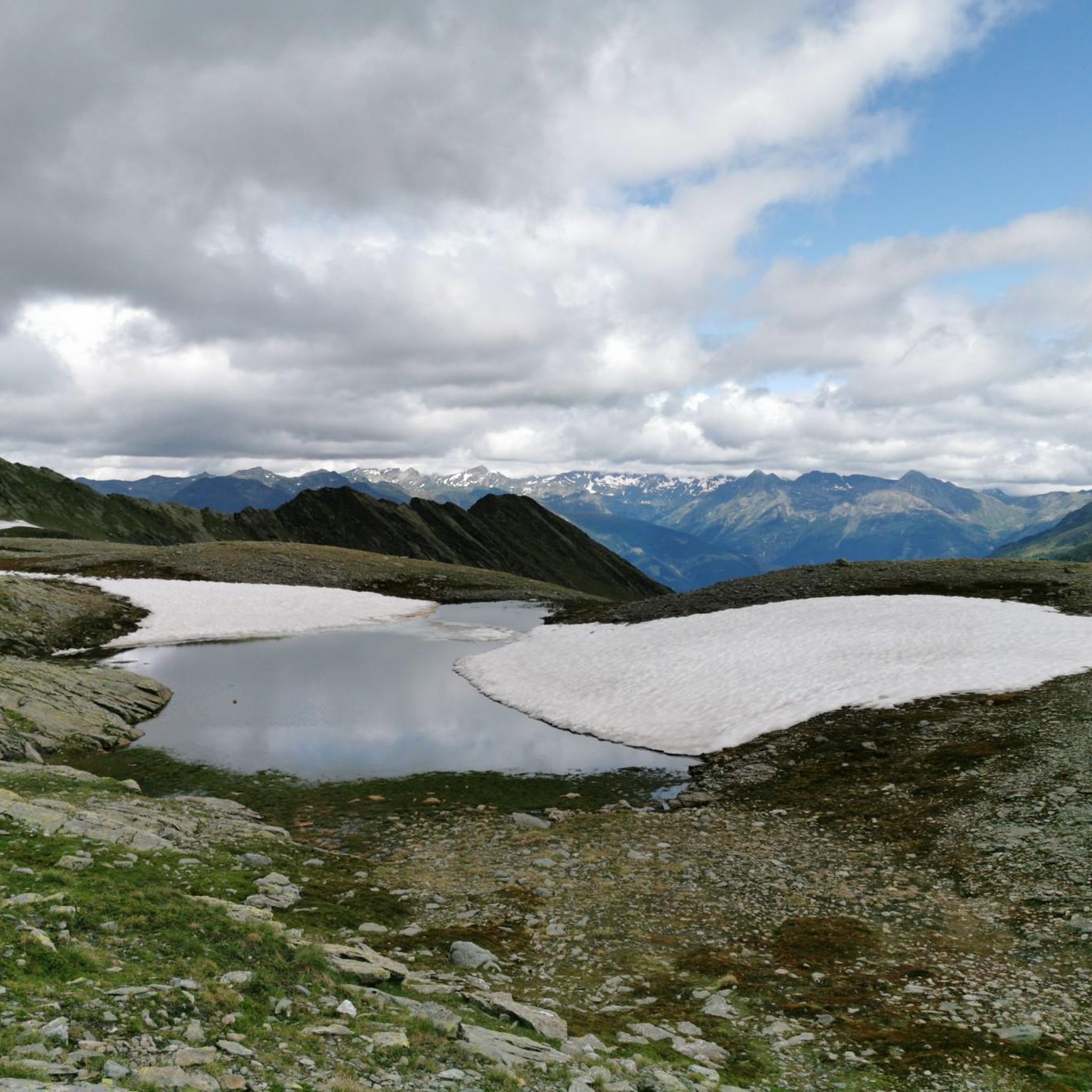
With lots of rocks and small stones, it is a bit exposed and slightly steep.
번역자 Google •
팁에 의해

이런 장소를 발견하려면 지금 가입하세요
최고의 싱글 트랙, 봉우리 및 다양한 흥미로운 야외 장소에 대한 추천을 받아보세요.
무료 회원 가입
Naßfeldriegel 정상 (2,236 m)
하이라이트 • 정상
번역자 Google •
팁에 의해


Stellkopf 정상 십자가
하이라이트 • 정상
On the last piece, it is advisable to fold up the climbing aid.
번역자 Google •
팁에 의해

무료로 가입하여 마구간 주변의 더 많은 봉우리를 발견하세요.
무료 회원 가입
이미 komoot 계정이 있나요?
오늘 무료 계정으로 시작하세요
다음 모험이 기다리고 있어요.
로그인 또는 가입하기





커뮤니티 팁

The Stellkopf is located on the border of the Hohe Tauern National Park.[1] The ascent takes about 2.5 hours from the Sadnighaus (1875 m). After a flat stretch to the Kröllalm (1961 m), the path climbs in several stages of 150 to 300 meters in altitude to the Butzentörl (2714 m). From here you reach the summit via its flat southwest ridge.[2][3] From the summit you have a panoramic view of the Schober Group, Goldberg Group, Kreuzberg Group and Lienz Dolomites.
1
0
The Stellkopf is a 2852 m high mountain in the Goldberg Group of the Hohe Tauern in Austria. The Stellkopf is located on the border of the Hohe Tauern National Park.[1] The ascent takes about 2.5 hours from the Sadnighaus (1875 m). After a flat section to the Kröllalm (1961 m), the path climbs in several stages of 150 to 300 meters in altitude to the Butzentörl (2714 m). From here you can reach the summit via its flat southwest ridge.[2][3] From the summit you have a panoramic view of the Schober Group, Goldberg Group, Kreuzberg Group and Lienz Dolomites.
1
0

Beautiful mountain for a short afternoon tour from the Emberger Alm. When the weather is clear, the Ankogel and Hochalmspitze greet you over the Kreuzeck group, and the view to the south is fantastic.
0
0

Very nice cycle path with good asphalt and a great panorama.
0
0

Along with the Mohar, Sadnig and Magernigspitz peaks, the Stellkopf is one of the most popular tour destinations in the rear Astental. The summit is very easy to reach and there are no difficult passages to overcome. The summit offers a wonderful view. In addition to the Glockner group with the Grossglockner, the Goldberg group with the Hoher Sonnblick, the view extends to the Lienz Dolomites, the Schober group and the Kreuzeck group. If you are looking for an easy mountain tour, the tour to the Stellkopf is the best option and you will enjoy the beautiful mountain atmosphere.
1
0
The Naßfeldriegel, 500 meters above the Emberger Alm, is the ideal destination for a short and enjoyable hike. The botanists will be particularly enthusiastic. A wide variety of dwarf shrubs (Almrausch, heather, cranberries), gentian, Scheuchzer cotton grass in damp places and many other plants thrive here. At the summit, hikers are delighted by the comprehensive panoramic view. Unpack the snack and simply enjoy it! (Source Bergfex)
2
0

그로스글로크너 고개 도로를 달린 후 이 고개는 다소 평범했습니다. B107 도로에 차량이 비교적 많으므로, 오르막길에는 구 이젤스베르크 도로를 추천합니다.
7
1

First test on the Glocknerstrasse if you come from the south. »The 1209 m above sea level A. ... high Iselsberg - also called Iselsbergpass - is a mountain pass in Austria. The Großglockner Straße (B 107) leads over the top of the pass, connecting the Lienz valley floor in the East Tyrolean Drautal with the Carinthian Mölltal. In order to reach the mines of the Mölltal, there was already a way over the Iselsberg in Roman times. « via https://de.wikipedia.org/wiki/Iselsberg_(Pass)
0
0
마구간 주변에서 가장 인기 있는 명소


더 살펴보기
이 가이드를 통해 마구간 주변의 더 놀라운 정상들을 확인해보세요:
