20의 라바문트가지 명소 & 주요 장소
라바문트에는 둘러볼 만한 장소가 많답니다. 하이킹 또는 사이클링을 좋아한다면 라바문트에 숨겨진 20
가지 보석을 만날 수 있을 거예요. 이 지역의 주요 명소를 살펴보면서 다음 모험을 계획해보세요.
마지막 업데이트: 10월 9, 2026
그로서어 슈파이크코겔 정상과 레이더 기지
하이라이트 • 정상
번역문 보기
팁에 의해

Grünangerhütte (해발 1,560 m)
하이라이트 • 산장
번역자 Google •
팁에 의해

이런 장소를 발견하려면 지금 가입하세요
최고의 싱글 트랙, 봉우리 및 다양한 흥미로운 야외 장소에 대한 추천을 받아보세요.
Großer Speikkogel의 골드하우베 레이더 기지
하이라이트 • 기념물
The Goldhaube system covers an airspace that extends at least to the following countries and points:
West: almost all of Switzerland, up to about Lausanne
번역자 Google •
팁에 의해

라밤뮌트 마을 다리
하이라이트 • 다리
번역문 보기
팁에 의해
무료로 가입하여 라바문트 주변의 더 많은 명소를 발견하세요.
이미 komoot 계정이 있나요?
오늘 무료 계정으로 시작하세요
다음 모험이 기다리고 있어요.
라바문트 주변 인기 장소
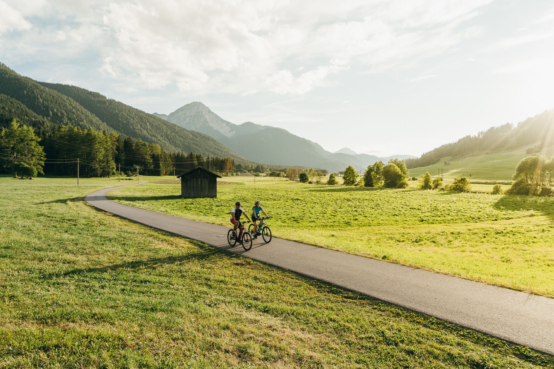
The River Drava Cycle Path – From the Dolomites to the vast landscapes of Pannonia
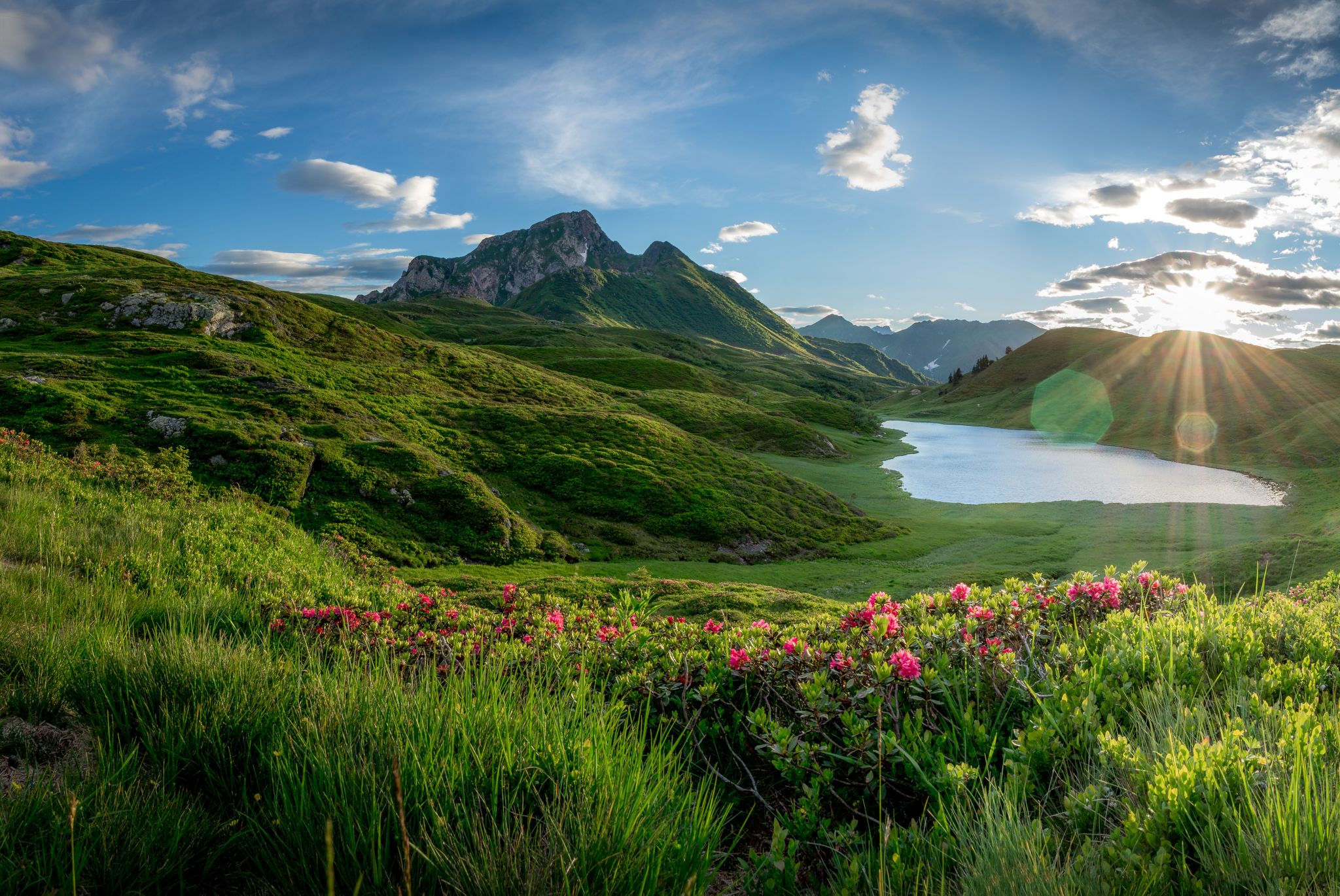
남알프스 트레일 - 오스트리아 스타이어 포도원과 카르니크 알프스
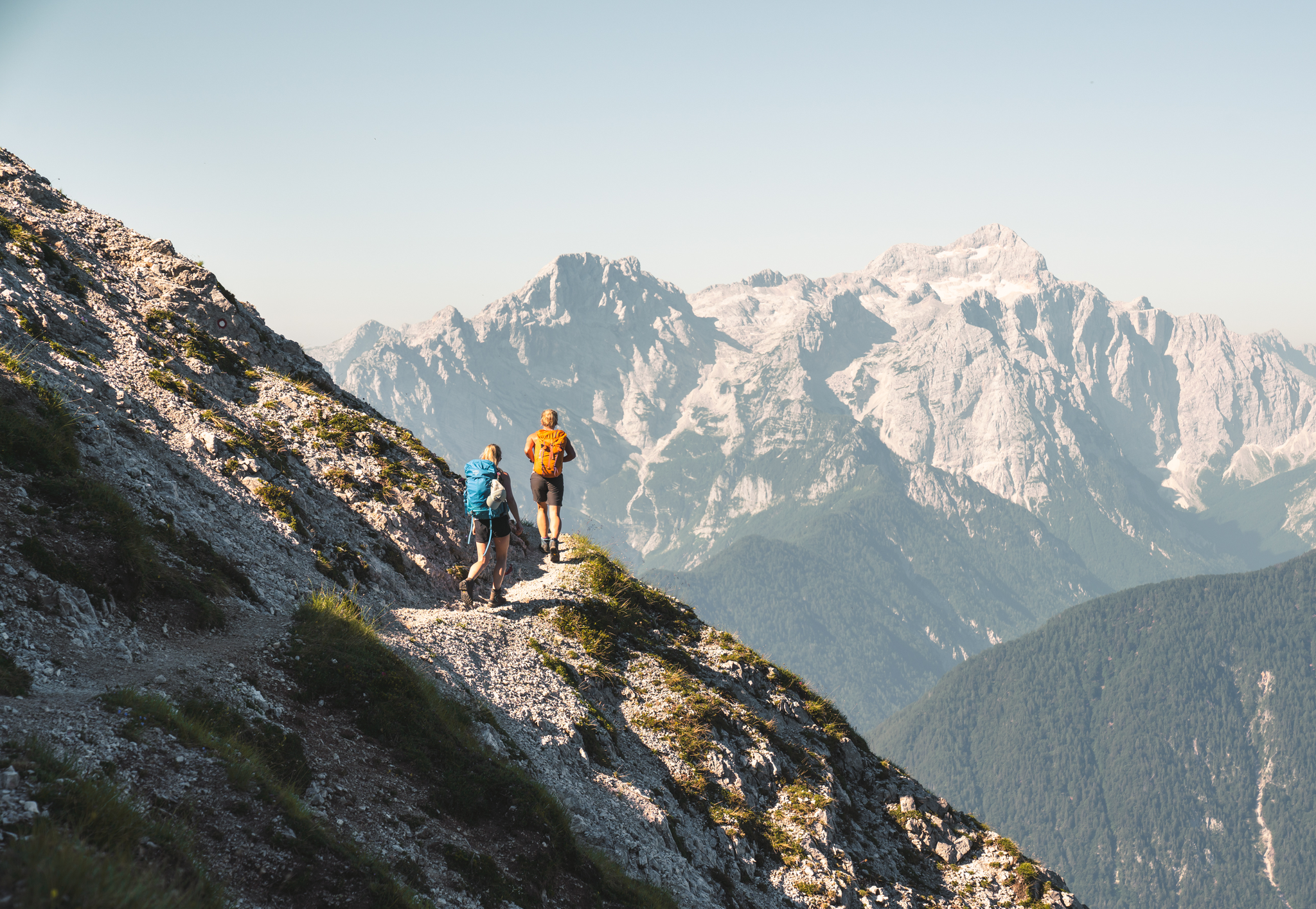
Sunny adventures on the Southern Alps Panorama Trail
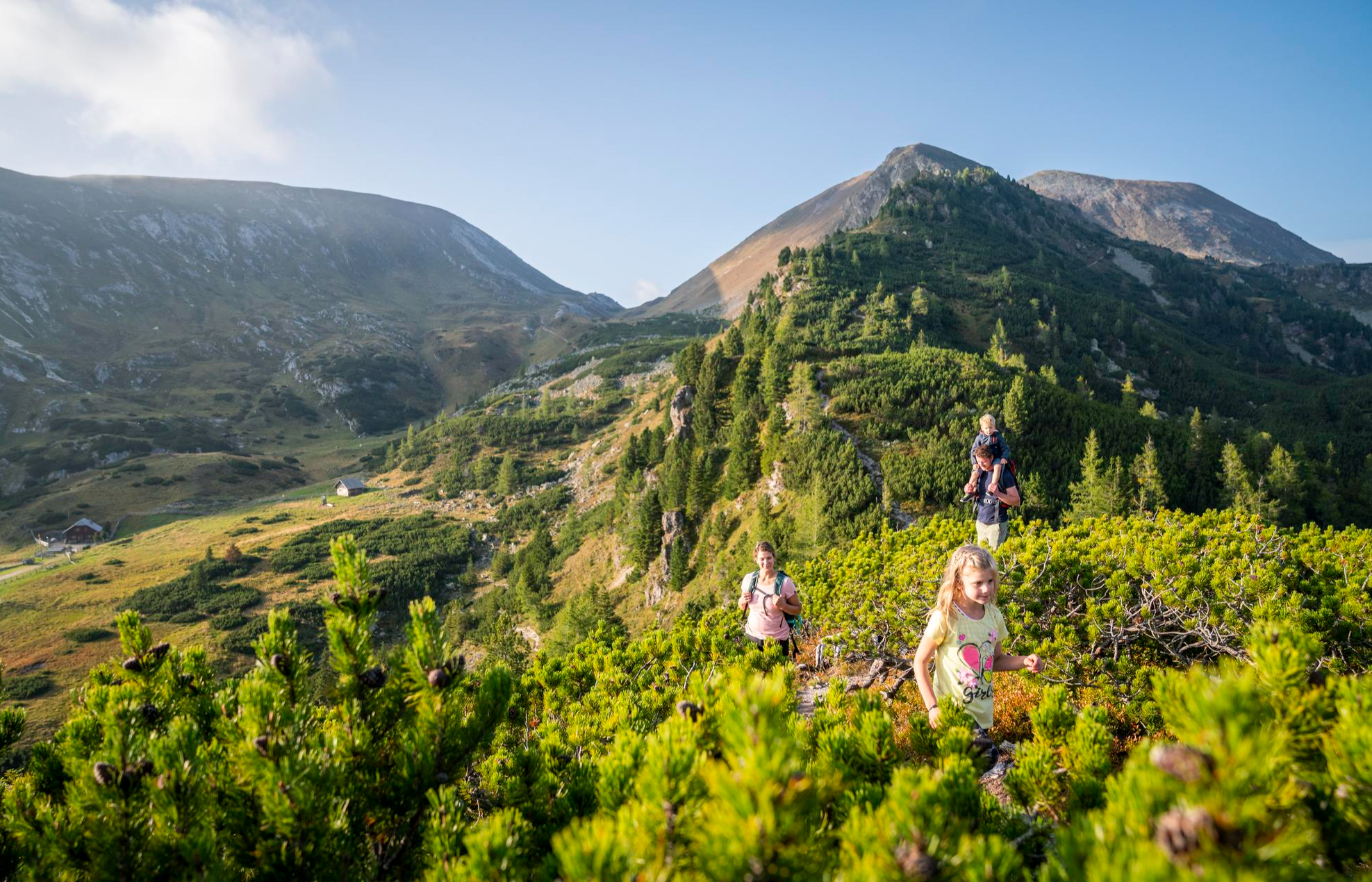
Joyous adventures experienced together – family hiking in Carinthia
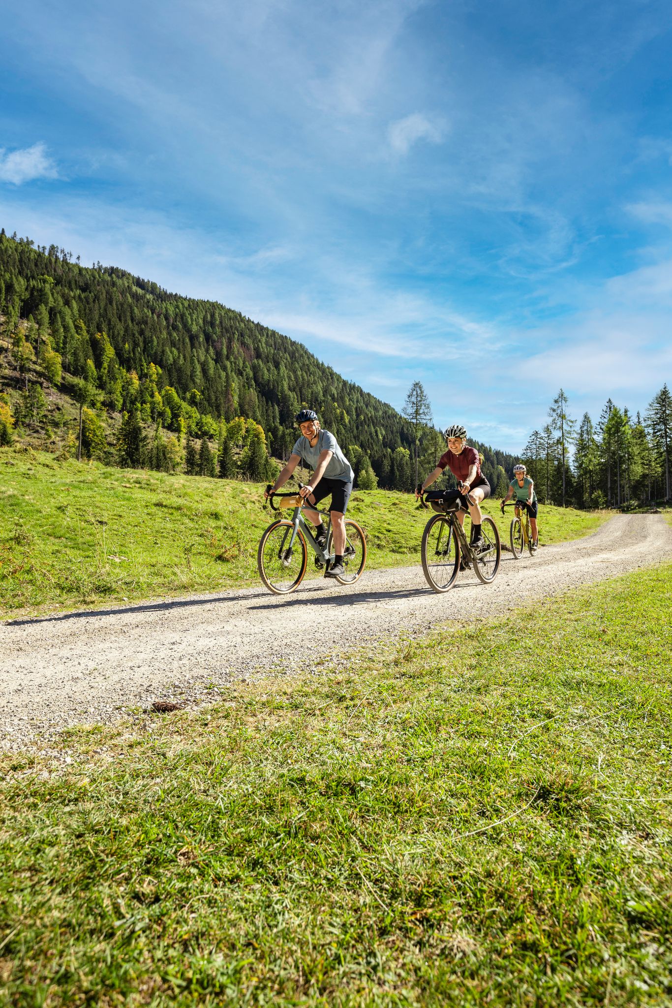
Lake Constance to Lake Neusiedl – explore Austria's federal states on GRAVEL
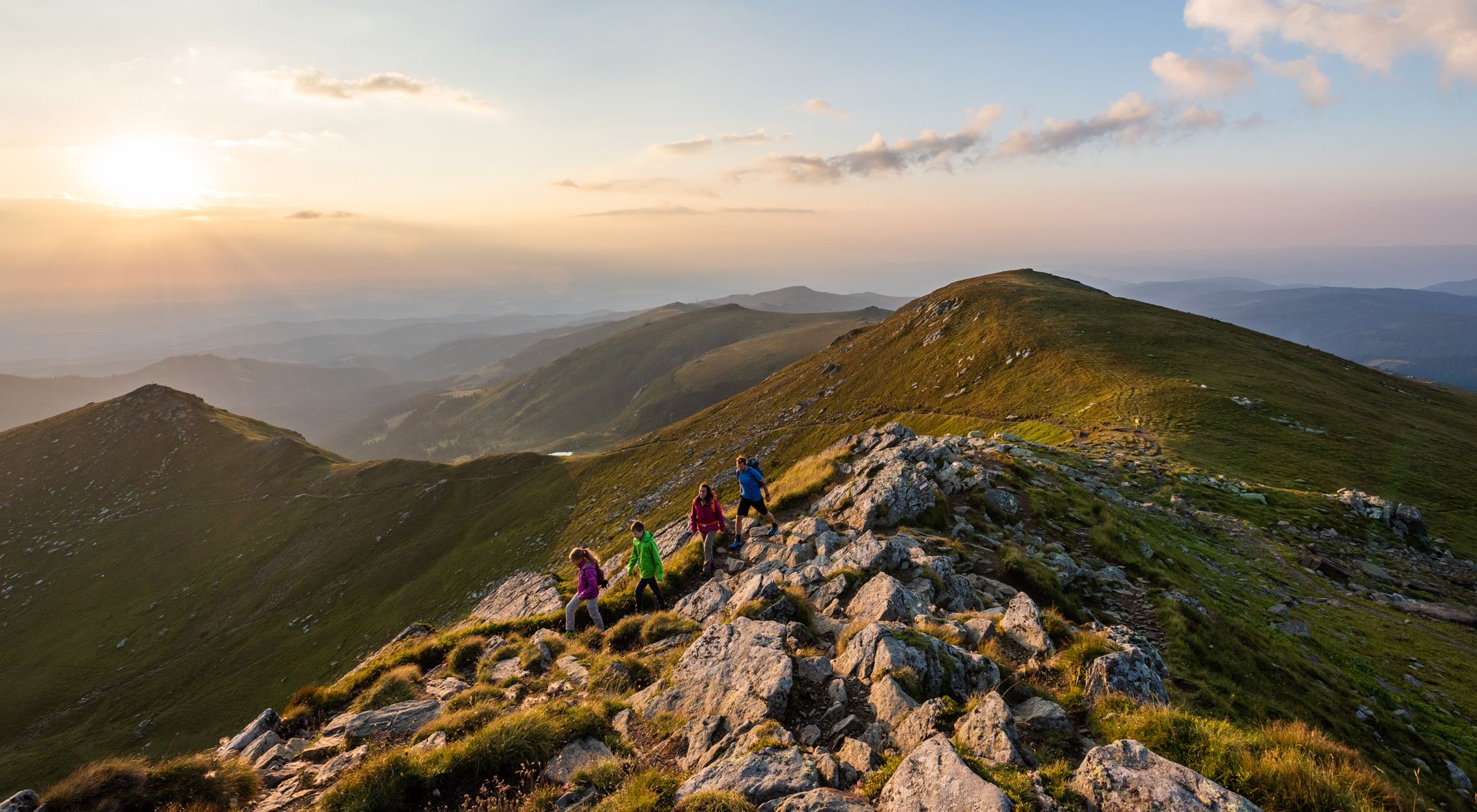
오스트리아에서 9일간의 휴식과 경이로움 – 라반트 밸리 트레일
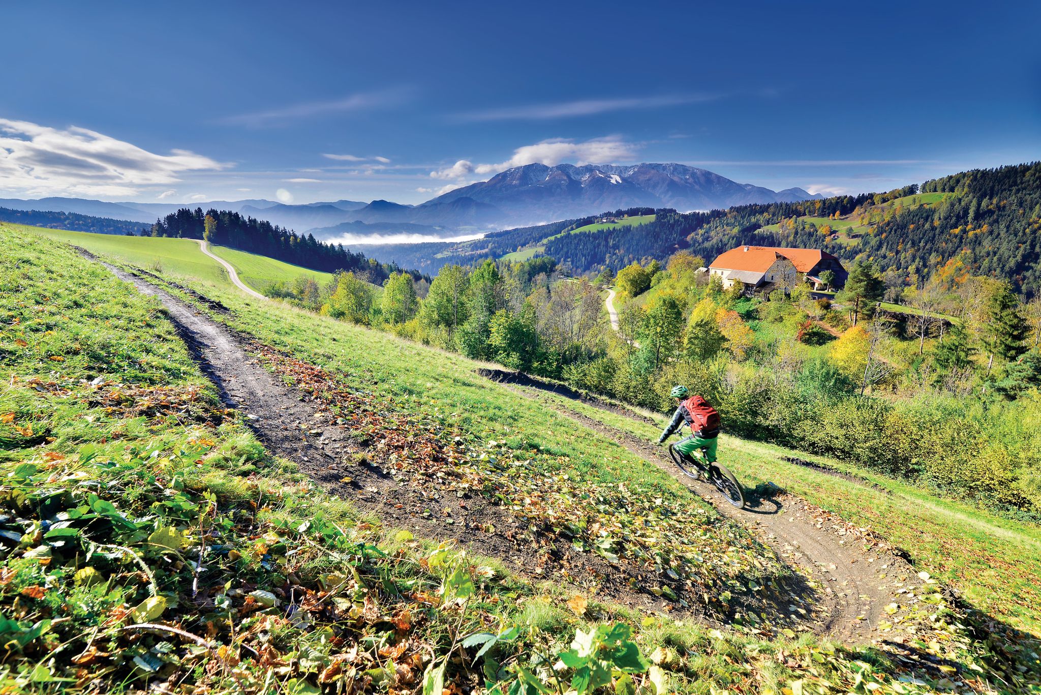
Deep below ground and close to the sky - mountain biking in Koroška
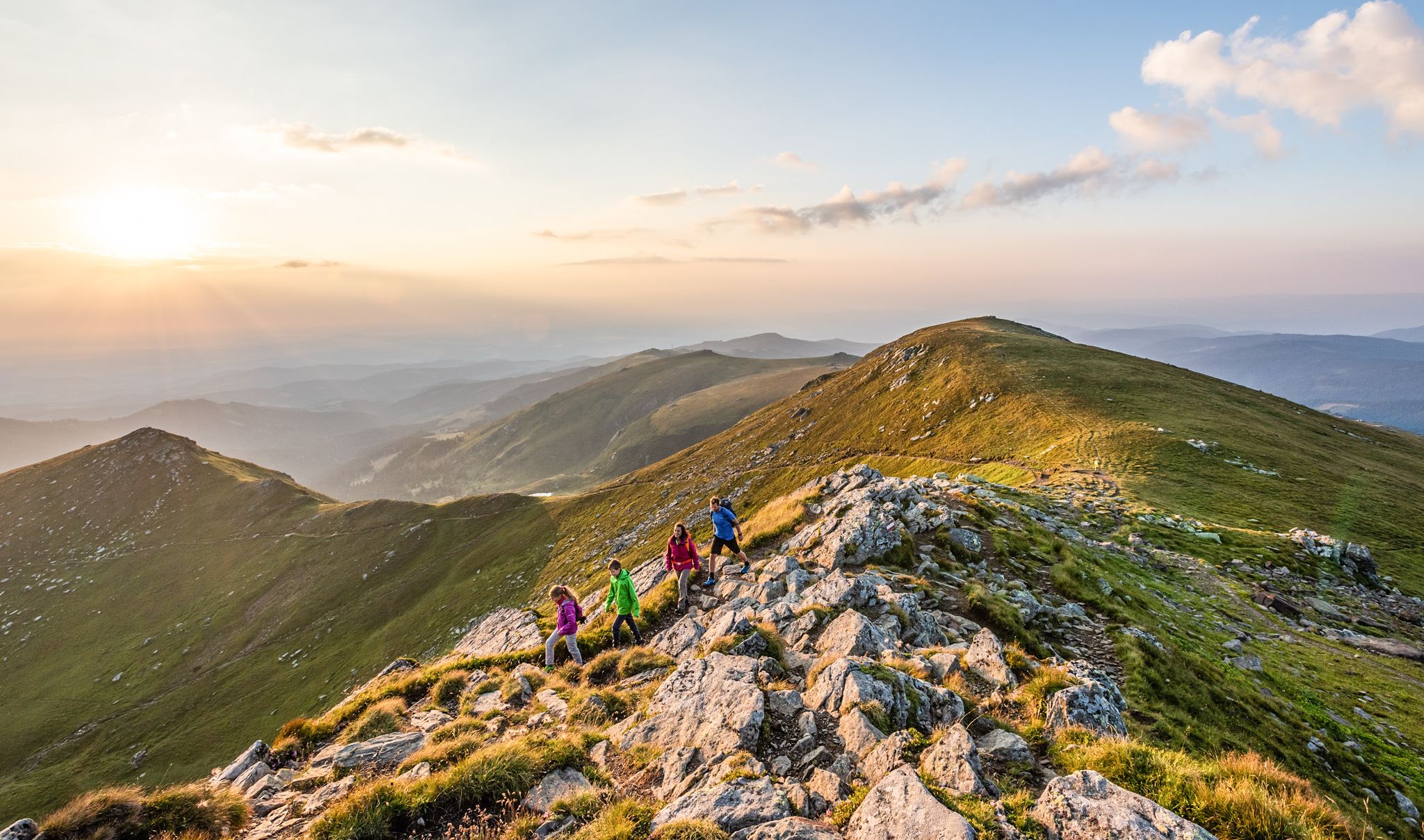
The Lavanttal — hiking on the sunny side of Carinthia
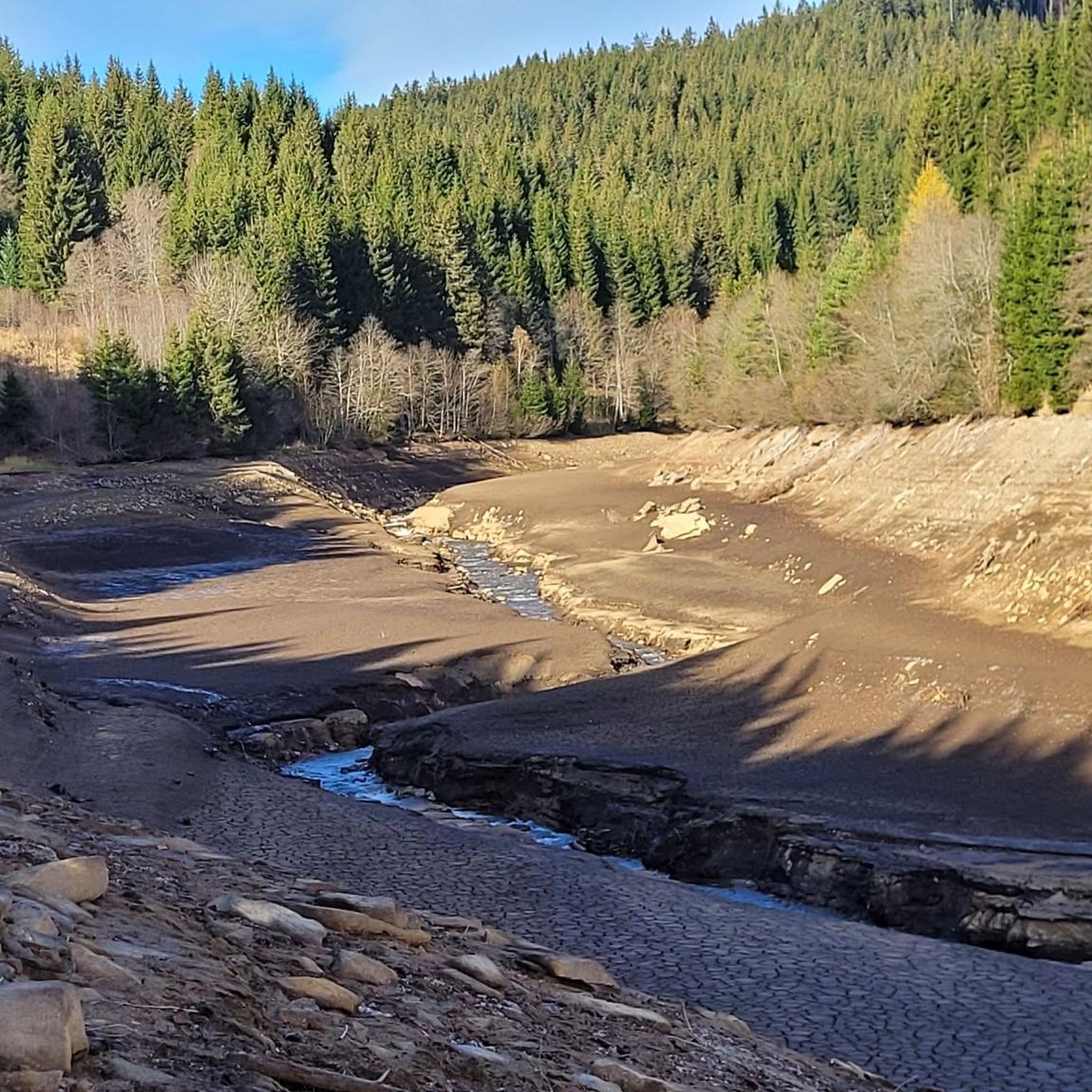
라바문트 하이킹
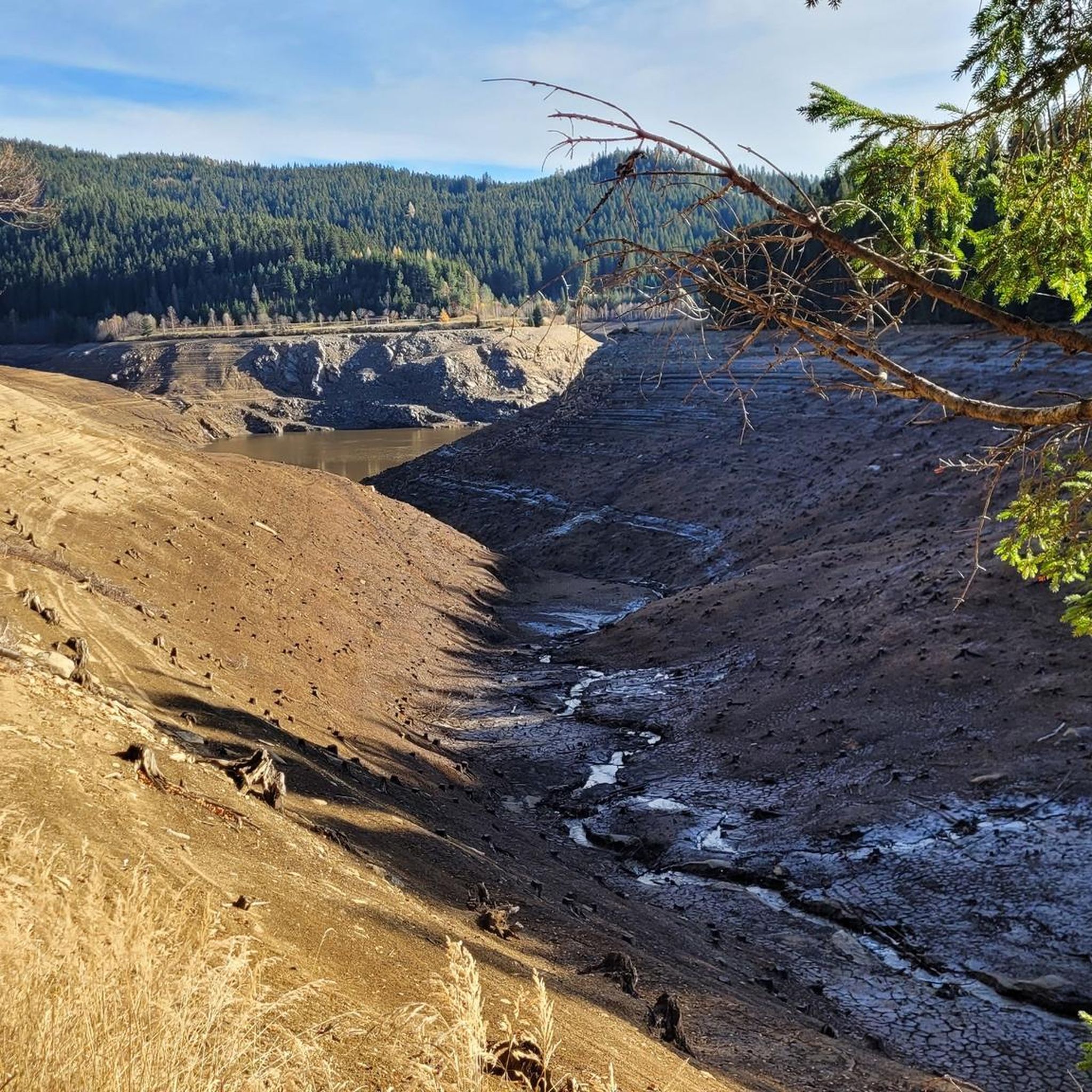
라바문트 사이클링
라바문트 주변의 다른 모험


커뮤니티 팁

In the area of the Jauntal bridge, the Drau River is approximately 10 to over 20 meters deep.
3
0
The Jauntal Bridge is a railway bridge over the Drava River in the Jauntal Valley. The Jauntal Bridge is located in the municipality of Ruden in Carinthia. The Jauntal Railway ran over it, connecting Bleiburg and St. Paul. After reconstruction, the bridge became part of the newly built Koralm Railway in 2023. The bridge opened to cyclists in June 2024.
3
0

Especially beautiful in winter when the ice is horizontal at the radar station.
2
0

I ask the next friendly hiker who reads this beforehand to take a summit book and a new pen for the summit, because the book is unfortunately full and the pen is already very old 🖊️📒 Thank you very much!
9
1
The summit cross collapsed in January 2014 due to heavy snow and ice loads. On June 6, 2014, the cross was re-erected in its old form made of oak wood and was ceremoniously inaugurated on July 5, 2014 by Dean Engelbert Hofer and Pastor Eugen Länger ✝️ http://www.kleindenkmaeler.at/detail/gipfelkreuz_grosser_speikkogel
8
0
The Speikkogel (SPK) fixed radar station (ORS) is also called the Goldhaube. The Goldhaube system covers an airspace that extends at least to the following countries and points: West: almost all of Switzerland, up to about Lausanne Northwest: up to the border of Luxembourg North: Berlin in Germany Northeast: Łódź in Poland East: up to the Romanian and Ukrainian borders; almost all of Hungary Southeast: almost to Belgrade and a little beyond Sarajevo South: approximately to Ancona in Italy Southwest: up to and including the Ligurian coast (Liguria) and Genoa as well as Turin.
8
0
The Große Speikkogel is the highest peak in the Koralpe ⛰️ The peak is located in Carinthia around 400 meters west of the border with Styria, around 18 km west of Deutschlandsberg in Styria and around 10 km east of Wolfsberg 🧭 Its summit cross was erected in 1948, renovated in 1973 and renewed in June 2014 ✝️ Height: 2140 m Source: Wikipedia
9
1
라바문트 주변에서 가장 인기 있는 명소


더 살펴보기
찾고 있는 하이라이트를 아직 못 찾으셨나요? 다른 지역의 주요 명소 가이드를 확인해보세요:
