프레작에서 가장 멋진 19개의 산 정상
프레작의 산 정상에 오르면 이 지역의 아름다운 모습을 제대로 구경할 수 있어요. 다만, 19
곳이나 되는 산 정상 중에서 어떤 곳을 가야 할 지 고민된다는 게 문제죠. 프레작에서 가장 멋진 산 정상을 살펴본 후에 마음에 드는 산 정상을 다음 모험 계획에 추가해보세요.
마지막 업데이트: 8월 31, 2026
람머스도르퍼 베르크의 Stana Mandl 카언(돌무더기)
하이라이트 • 정상
번역자 Google •
팁에 의해

Wöllaner Nock 정상
하이라이트 • 정상
번역자 Google •
팁에 의해

이런 장소를 발견하려면 지금 가입하세요
최고의 싱글 트랙, 봉우리 및 다양한 흥미로운 야외 장소에 대한 추천을 받아보세요.
무료 회원 가입
카이저부르크 산정역
하이라이트 • 휴식 공간
번역문 보기
팁에 의해


Kobesnock 정상
하이라이트 • 정상
무료로 가입하여 프레작 주변의 더 많은 봉우리를 발견하세요.
무료 회원 가입
이미 komoot 계정이 있나요?
오늘 무료 계정으로 시작하세요
다음 모험이 기다리고 있어요.
로그인 또는 가입하기


커뮤니티 팁

Stana Mandl am Lammersdorfer Berg offers breathtaking views, perfect for creating memorable video content. With CapCut Pro APK, enhance your footage using advanced editing tools like transitions, filters, and high-resolution exports. Showcase the natural beauty and cultural charm of this spot through polished videos, captivating audiences with professional-quality storytelling. Visit Now https://capcutapkpro.app/
2
1
Geometry Dash Icon Editor APK allows players to customize in-game icons, creating unique designs to enhance personalization. While such tools can be fun, downloading APKs from unofficial sources poses risks like malware or account bans. Always prioritize safe and legitimate platforms for downloads. Visit here https://geometrydashpro.fun/
2
1
Geometry Dash 2.2 APK with all unlocked features provides access to exclusive levels and customization options. However, downloading unofficial APKs can risk malware, data theft, or violating terms of service. Stick to official sources for safety and support. Click here https://geometrydashapkfree.com/
2
1

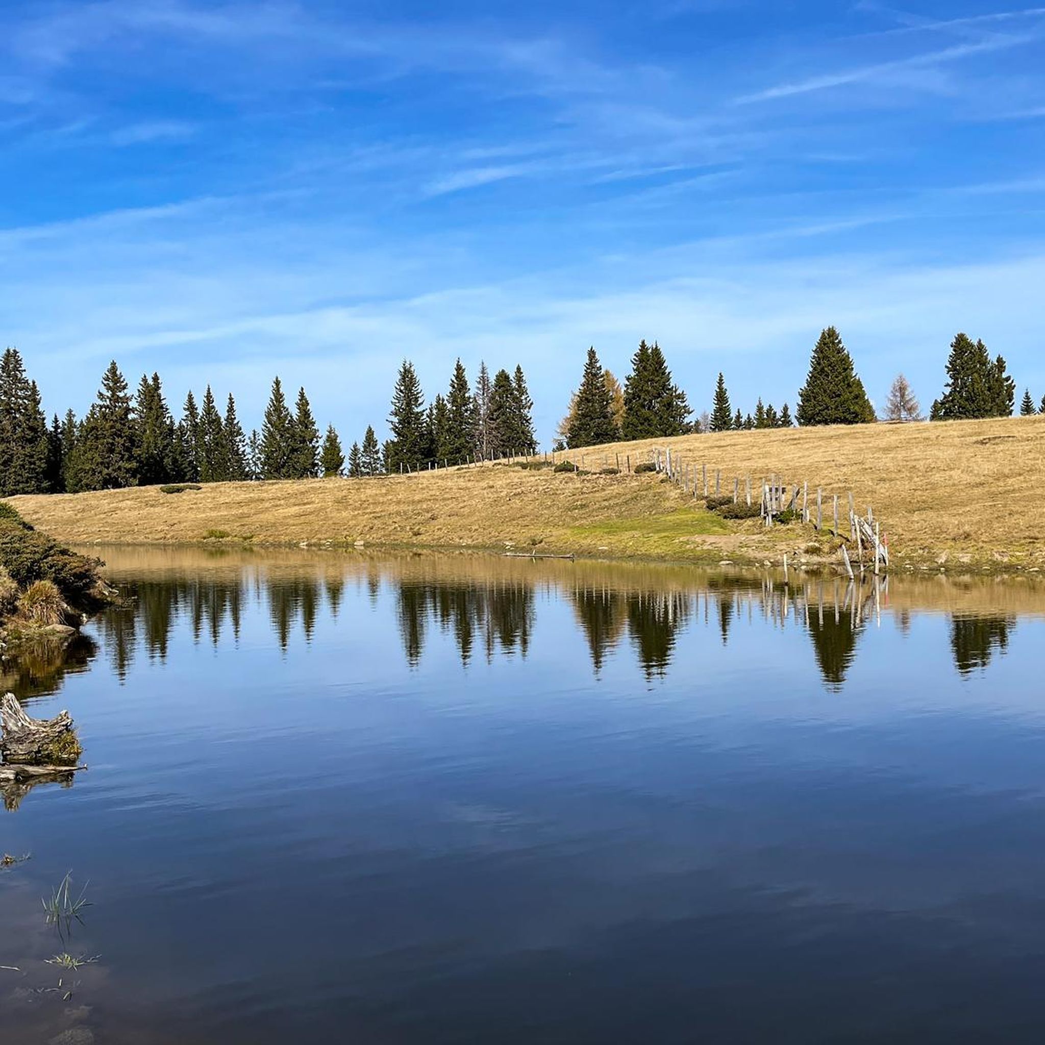
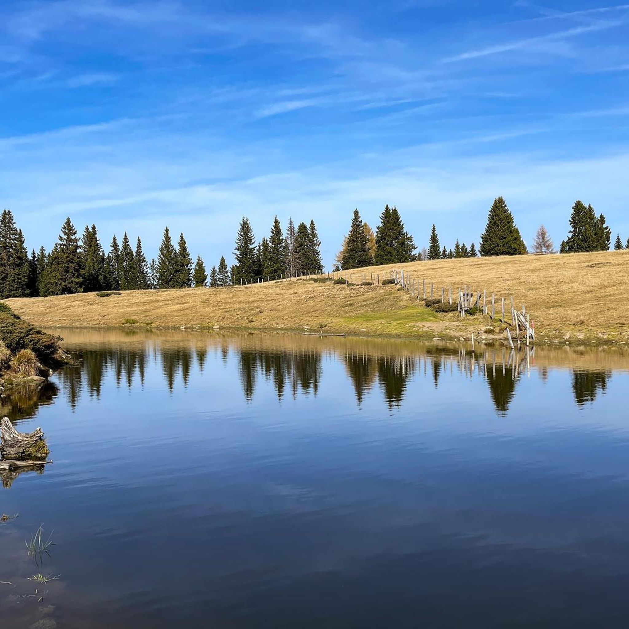
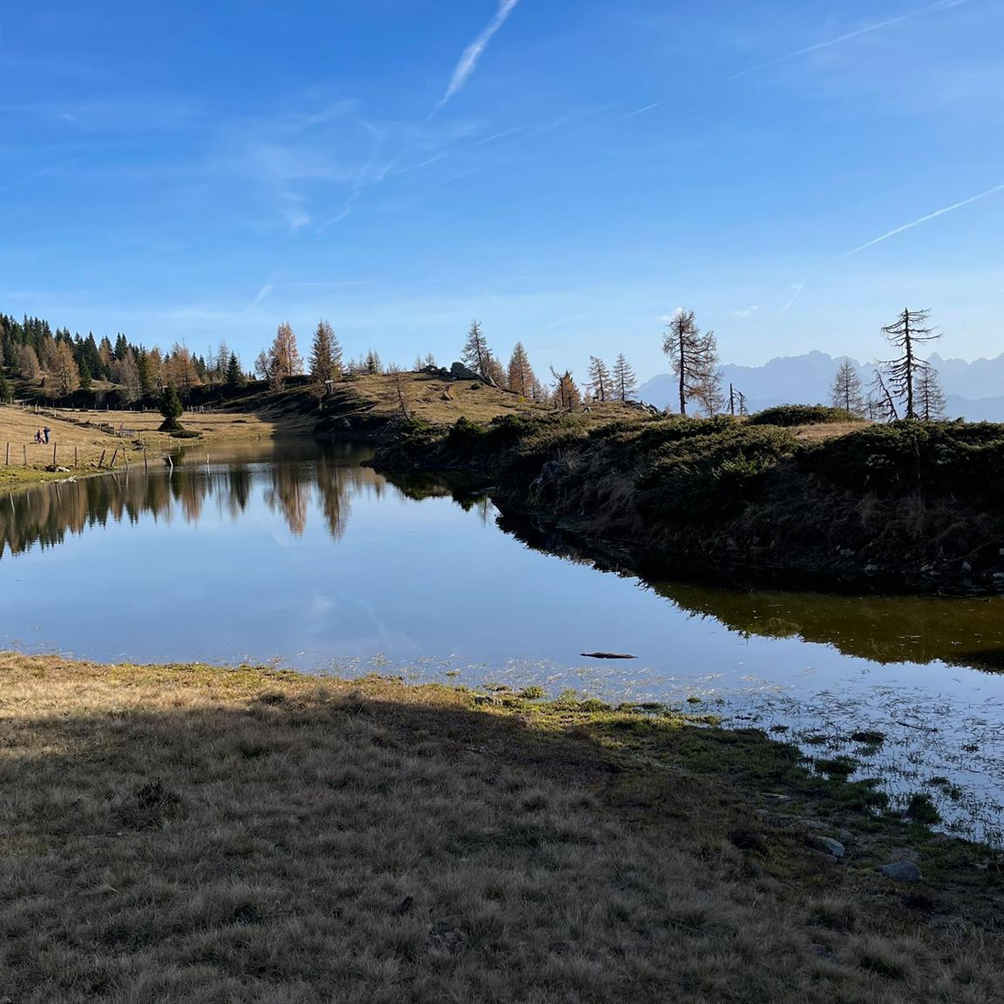
We take the toll road (5€) from Afritz to the Wieseralm. From there we start this beautiful circular hike to the world mountain Mirnock. We briefly follow a road to the west towards the Hochalmhütte. At a fork in the road we decide on the shorter option and turn left. It goes comfortably up through the forest. Later the forest thins out and we enter wide pastures. After a good hour and a half we reach the summit cross of the Mirnock. We enjoy the deep view of Lake Millstatt. For the descent we follow the gentle ridge of the Mirnock towards Rindernock. At the small lake at its foot, wooden loungers tempt us to take another rest. Here we turn left and descend to the Wieser Alm.
4
0
Attention: An incorrect address is stored when navigating. If you want to go from the Wieser Alm to the Mirnock, Rindernock, etc., please search for "Lierzbergerstraße". The entrance is at the southern end of the Afritzer See (Camping Glinzner, Bodner, old people's and nursing home, Afritzer lido,...) From the address Wiesenweg 24, 9544 Feld am See you can only get to the Mirnock on foot, a total of around 1300 meters in altitude! From the Wieser Alm it is around 600 meters in altitude.
2
0

Verditz ski area The Verditz ski area was located in the Amberger Alm area. A chairlift with three sections led from the Gegendtal (668 m) to the Kammhöhe (1832 m). About halfway up the first chairlift you could get off at a summer toboggan run. The mountain railways stopped operating in 2012.
2
0
The Mirnock is an isolated mountain massif in Carinthia, 2,110 m above sea level. It is part of the Nockberge and lies between the lower Drau valley in the southwest, Lake Millstatt in the west, the Gegendtal in the northeast and the Krastal in the southeast. The village of Radenthein borders it to the north, and the formerly independent municipality of Mooswald lay entirely on the broad western and southwestern flank of the mountain. The ridge of the mountain massif also has two smaller elevations, the Palnock (1,901 m) and the Amberger Alpe (1,831 m). The Mirnock's great prominence is remarkable, with a ridge height of 1,343 meters.
2
1

프레작 주변에서 가장 인기 있는 명소


더 살펴보기
이 가이드를 통해 프레작 주변의 더 놀라운 정상들을 확인해보세요:
