Orting 최고의 라이딩 경로
4.8
(25)
827
자전거 타는 사람
11
라이딩
Orting에서 로드 사이클링을 하실 계획인가요? Orting의 모든 로드 라이딩 중에서 가장 멋진 라이딩 장소를 엄선했으니 Orting에서 가장 마음에 드는 로드 사이클링 경로를 찾아보세요.
마지막 업데이트: 10월 18, 2026
5.0
(7)
195
자전거 타는 사람
54.9km
02:20
290m
290m
보통 도로 자전거 타기. 좋은 체력 필요. 지면 대부분이 잘 포장되어 있고 라이딩하기 쉬움.
5.0
(4)
163
자전거 타는 사람
61.9km
02:32
300m
300m
보통 도로 자전거 타기. 좋은 체력 필요. 지면 대부분이 잘 포장되어 있고 라이딩하기 쉬움.

5.0
(2)
16
자전거 타는 사람
55.2km
02:08
110m
110m
보통 도로 자전거 타기. 좋은 체력 필요. 투어 중 라이딩하기 어려운 비포장 구간이 있을 수 있음.
5.0
(1)
31
자전거 타는 사람
77.3km
03:14
100m
100m
보통 도로 자전거 타기. 좋은 체력 필요. 지면 대부분이 잘 포장되어 있고 라이딩하기 쉬움.
10
자전거 타는 사람
52.3km
02:23
500m
500m
보통 도로 자전거 타기. 좋은 체력 필요. 지면 대부분이 잘 포장되어 있고 라이딩하기 쉬움.
더 다양한 경로와 다른 탐험가들의 추천을 살펴보세요.
이미 komoot 계정이 있나요?
투어 추천은 다른 사람들이 komoot에서 완료한 수천 개의 활동을 바탕으로 구성되어 있습니다.
오늘 무료 계정으로 시작하세요
다음 모험이 기다리고 있어요.
Orting 주변 인기 장소


커뮤니티 팁

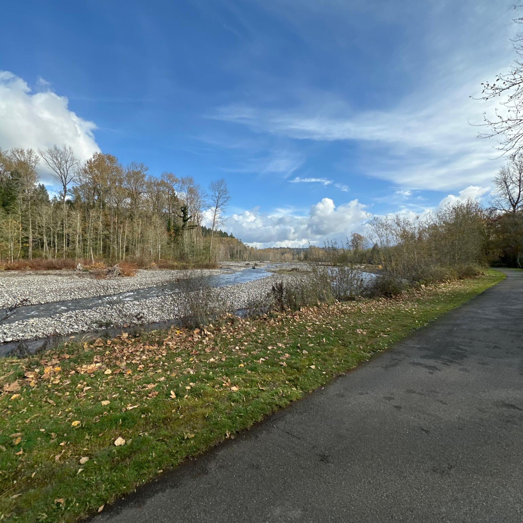
Just a simple bridge with Voight Creek views.
0
0
The Foothills Trail is a mostly paved 21-mile path from Puyallup toward Mount Rainier, perfect for walking, biking, and horseback riding. Enjoy views of Mount Rainier, wildlife, and historic sites like Melmont ghost town. Multiple access points make it easy to explore sections at your pace.
1
0

The King County Interurban Trail is a nearly 15‑mile paved trail following the former Puget Sound Electric Railway. It connects to the Green River Trail at both ends and passes through suburban and industrial zones, and open green spaces.
0
0

Near this spot on the Sumner Link Trail, just south of Tacoma Ave, there are a few picnic tables just off the trail and you're quite close to the White River. This is a nice spot to stop as you ride around the area.
0
0

This park sits on a peninsula, surround by the Green River on three sides, and offer picnic areas, hiking trails, and fishing opportunities. But the highlight is the spectacular view of Mt. Rainier you get on clear days.
0
0
On clear days from this spot in Briscoe Park on the Green River Trail, you get great views of Mount Rainier. This is a nice spot to snap some photos before continuing on your hike.
0
0
The Green River Trail is a 19-mile paved path connecting Seattle to Kent, that follows the Green River through the Kent Valley. The trail meanders with gentle curves and is popular with walkers, runners, and cyclists. This section of trail has recently been restored and made into a great little park.
0
0

Love this bridge. Would love it more if the trail actually crossed over the old broken bridge just one tenth of a mile farther north...
0
0
around Orting에서 가장 인기 있는 경로
around Orting에서 가장 인기 있는 명소


더 살펴보기
다른 지역의 최고의 로드 사이클링 경로를 살펴보세요.
