알타크에서 가장 멋진 20개의 호수
알타크에서 가장 멋진 호수를 방문하고 싶나요? 호숫가의 고요한 분위기를 느끼거나 날씨가 따뜻한 날 호수에 발을 살짝 담글 수 있다면 얼마나 좋을까요? Komoot 커뮤니티가 추천한 알타크의 주요 호수를 아래에서 살펴보고, 다음 모험 때 직접 찾아가보세요!
마지막 업데이트: 10월 4, 2026
Staufensee 폭포와 댐
하이라이트 • 폭포
번역자 Google •
팁에 의해


이런 장소를 발견하려면 지금 가입하세요
최고의 싱글 트랙, 봉우리 및 다양한 흥미로운 야외 장소에 대한 추천을 받아보세요.

비헨슈타인 호수 전망대
하이라이트 • 전망대
The Wichensteinsee is located in the municipality of Oberriet at the eastern foot of the Semelenberg. A clay pit was operated on the area of today's lake …
번역자 Google •
팁에 의해
알터 라인 자연 트레일
하이라이트 • 트레일
번역자 Google •
팁에 의해

무료로 가입하여 알타크 주변의 더 많은 호수를 발견하세요.
이미 komoot 계정이 있나요?
오늘 무료 계정으로 시작하세요
다음 모험이 기다리고 있어요.
커뮤니티 팁

Staufensee의 댐은 호수의 북쪽 끝을 형성하며 Rappenloch 협곡을 통과하는 하이킹에서 눈에 띄는 구조물입니다. 댐 바로 아래에서 물은 인공 폭포로 Dornbirner Ach로 떨어져 인상적인 자연의 광경을 연출합니다. 저수지 자체는 거의 비어 있었는데, 이는 Apploch 협곡 입구에 있는 새로운 수력 발전소의 건설 노동자들 때문일 수 있습니다.
9
0


The waterfall is formed by the overflow of the Staufensee reservoir. The reservoir currently has very little water. The weir was recrossed. The path is accessible on the right side (coming from the Rappenloch Gorge).
4
0

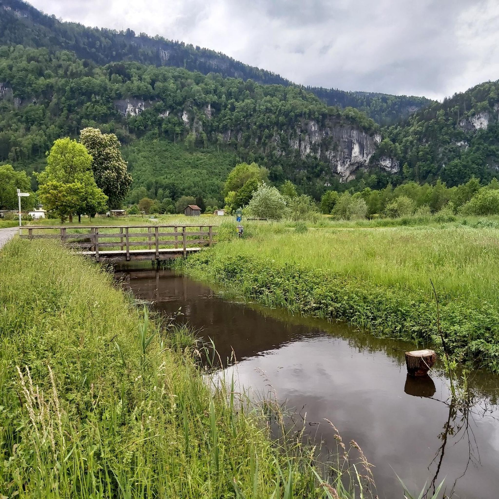
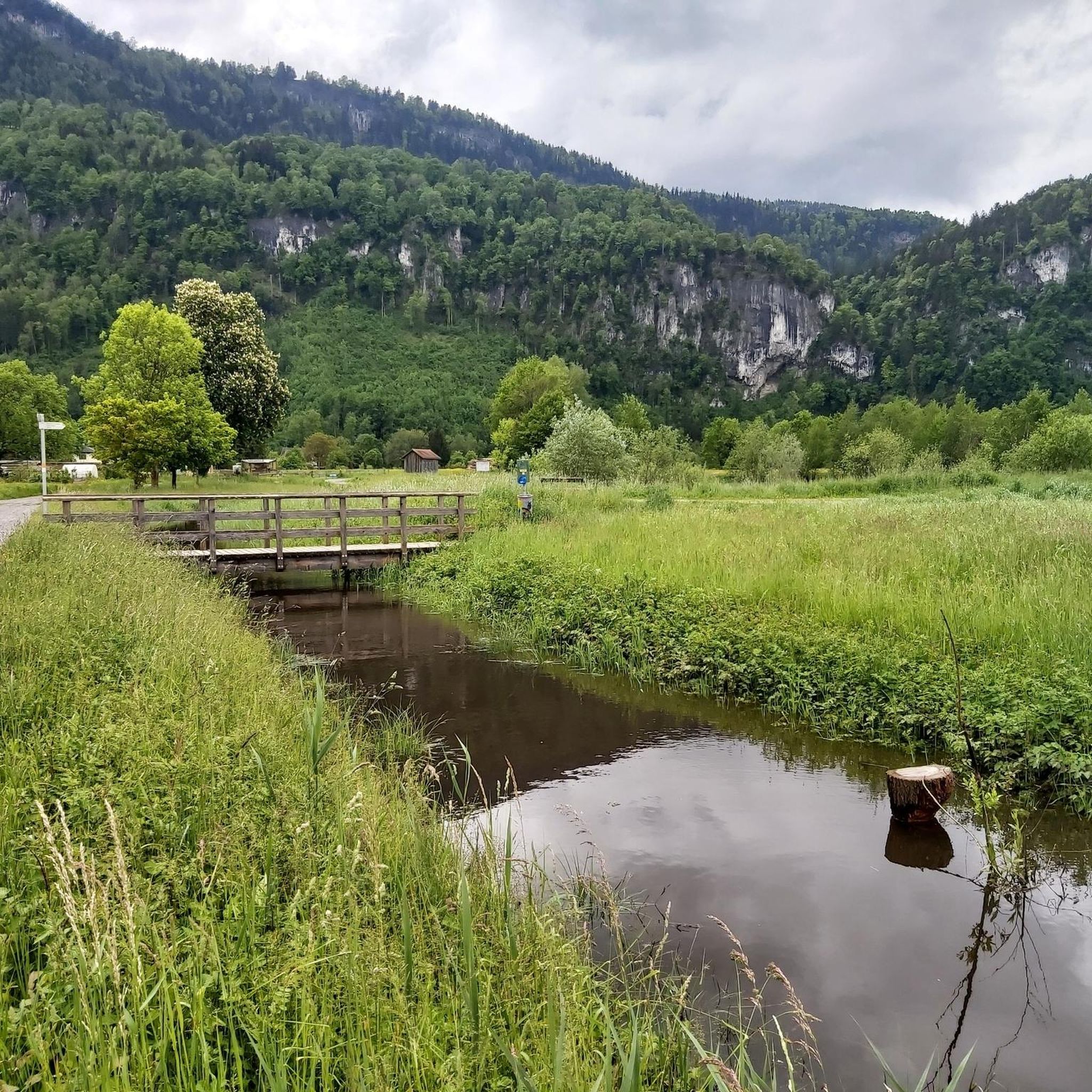
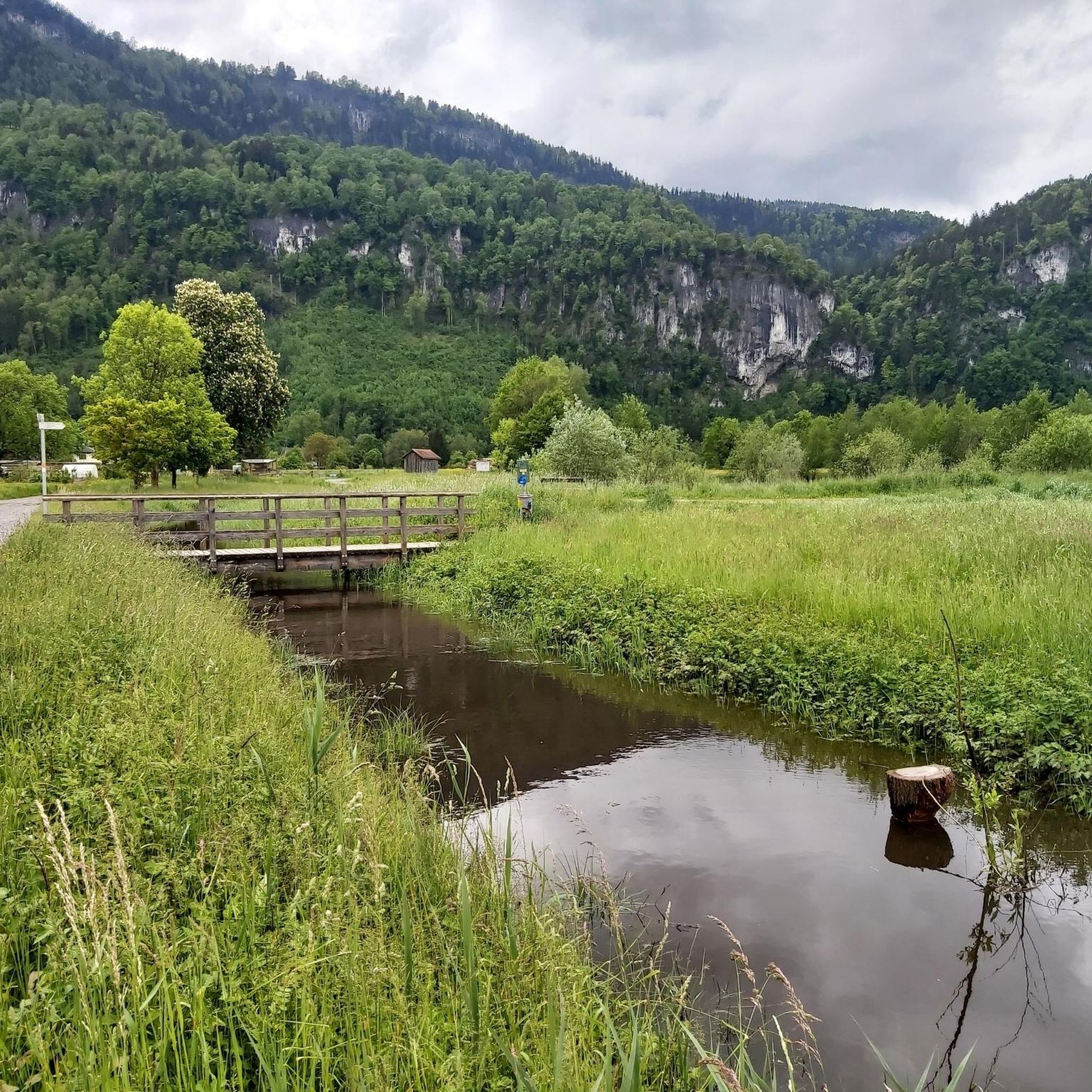
Wichenstein Nature Reserve, Oberriet The extensive Wichenstein Nature Reserve, with its biotope and set against the backdrop of an imposing limestone cliff, is an important nesting site for forest, hedge, and water birds. This wetland also provides a habitat for many insects, frogs, and amphibians. Wichenstein, with its over 20 hectares of land, is considered a reserve of supra-regional importance. It offers a place of peace and relaxation. A fire pit is located in the immediate vicinity of the pond. Text / Source: Municipality of Oberriet https://www.oberriet.ch/natur/7484
13
3
Wichenstein Nature Reserve, Oberriet The extensive Wichenstein Nature Reserve, with its biotope and set against the backdrop of an imposing limestone cliff, is an important nesting site for forest, hedge, and water birds. This wetland also provides a habitat for many insects, frogs, and amphibians. Wichenstein, with its over 20 hectares of land, is considered a reserve of supra-regional importance. It offers a place of peace and relaxation. A fire pit is located in the immediate vicinity of the pond. Text / Source: Municipality of Oberriet https://www.oberriet.ch/natur/7484
14
0
Wichensteiner See, Oberriet The Wichensteiner See is located in the municipality of Oberriet at the eastern foot of the Semelenberg. A clay pit operated on the area of the present lake from 1830 to 1972. The lake lies at an elevation of 420 meters above sea level and has a maximum depth of approximately 5.5 meters. It is divided into a smaller northern basin and a larger southern basin. The area was acquired by the municipality of Oberriet in 1976 and declared a nature reserve in 1982. East of the lake lies the "Grube Loo" (Loo Pit) – also a former clay pit – which, together with the Wichensteiner See, is a fen of regional importance and an amphibian spawning area of national importance. The lake is fed, in addition to underground springs, by the Wichensteinerbach stream, which drains the northern foot of the Semelenberg. The outflow structure leads into the Aubach stream. Text / Source: Canton of St. Gallen, Office for Environment and Energy https://www.sg.ch/content/dam/sgch/umwelt-natur/wasser/seen-und-weiher/02-01--gew%C3%A4sserqualit%C3%A4t-seen/kleinseen-und-weiher/Wichtensteiner%20See%20Oberriet.pdf
15
0

Unfortunately there was no water in the lake, so you could walk right through it
3
0

Beautiful platform for bird watching and nature watching.
8
0


더 살펴보기
알타크 주변에서 완벽한 호수를 아직 못 찾으셨나요? 이 지역의 가이드를 확인하여 더 아름다운 장소를 찾아보세요.
