산타 마리아 발 뮈스테어에서 가장 멋진 20개의 산 정상
산타 마리아 발 뮈스테어의 산 정상에 오르면 이 지역의 아름다운 모습을 제대로 구경할 수 있어요. 다만, 20
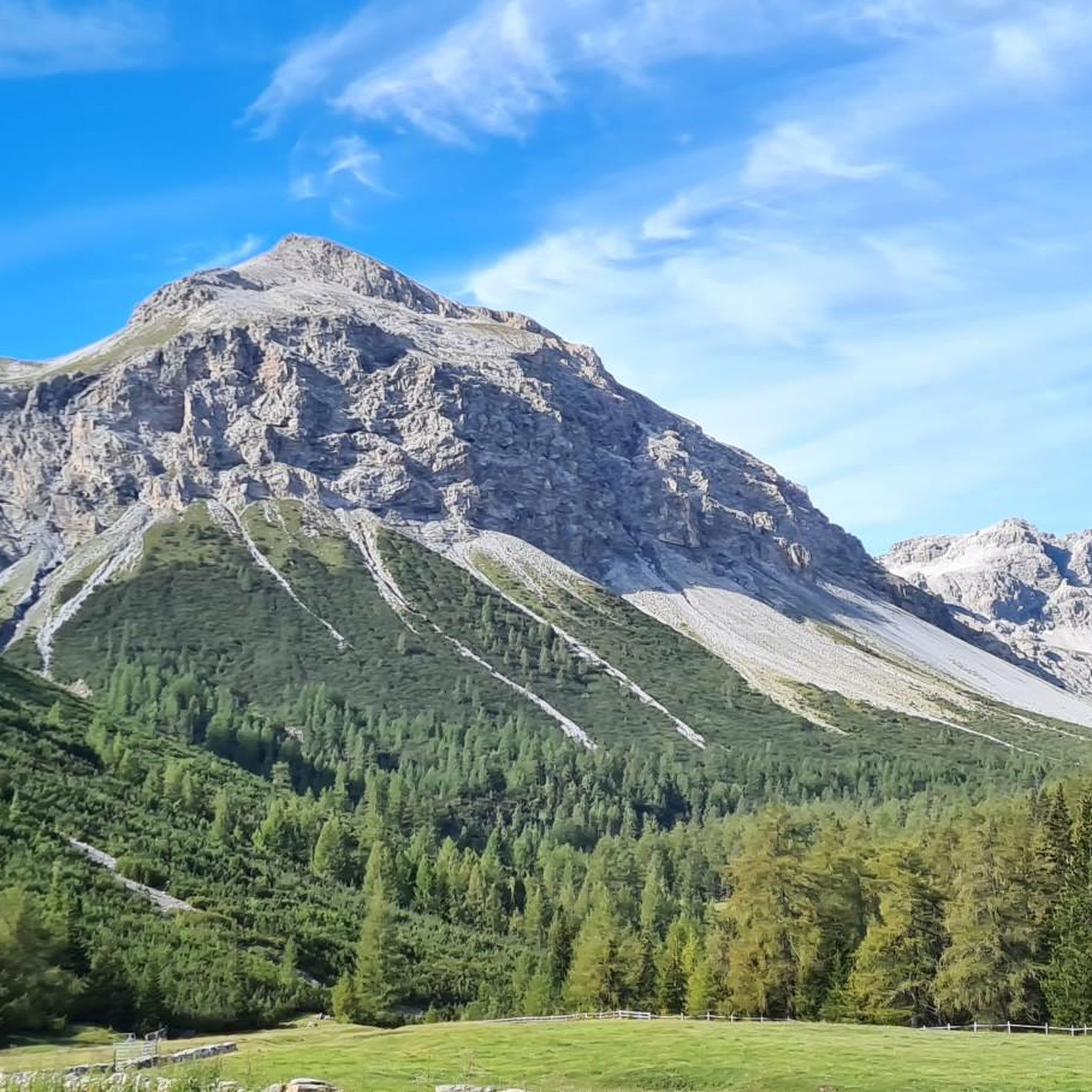
곳이나 되는 산 정상 중에서 어떤 곳을 가야 할 지 고민된다는 게 문제죠. 산타 마리아 발 뮈스테어에서 가장 멋진 산 정상을 살펴본 후에 마음에 드는 산 정상을 다음 모험 계획에 추가해보세요.
마지막 업데이트: 8월 30, 2026


이런 장소를 발견하려면 지금 가입하세요
최고의 싱글 트랙, 봉우리 및 다양한 흥미로운 야외 장소에 대한 추천을 받아보세요.
무료 회원 가입

보케타 디 포르콜라 고개
하이라이트 • 산악 고개
번역자 Google •
팁에 의해

드라이슈프라헨슈피체와 리푸지오 가리발디
하이라이트 • 정상
번역자 Google •
팁에 의해

무료로 가입하여 산타 마리아 발 뮈스테어 주변의 더 많은 봉우리를 발견하세요.
무료 회원 가입
이미 komoot 계정이 있나요?
오늘 무료 계정으로 시작하세요
다음 모험이 기다리고 있어요.
로그인 또는 가입하기
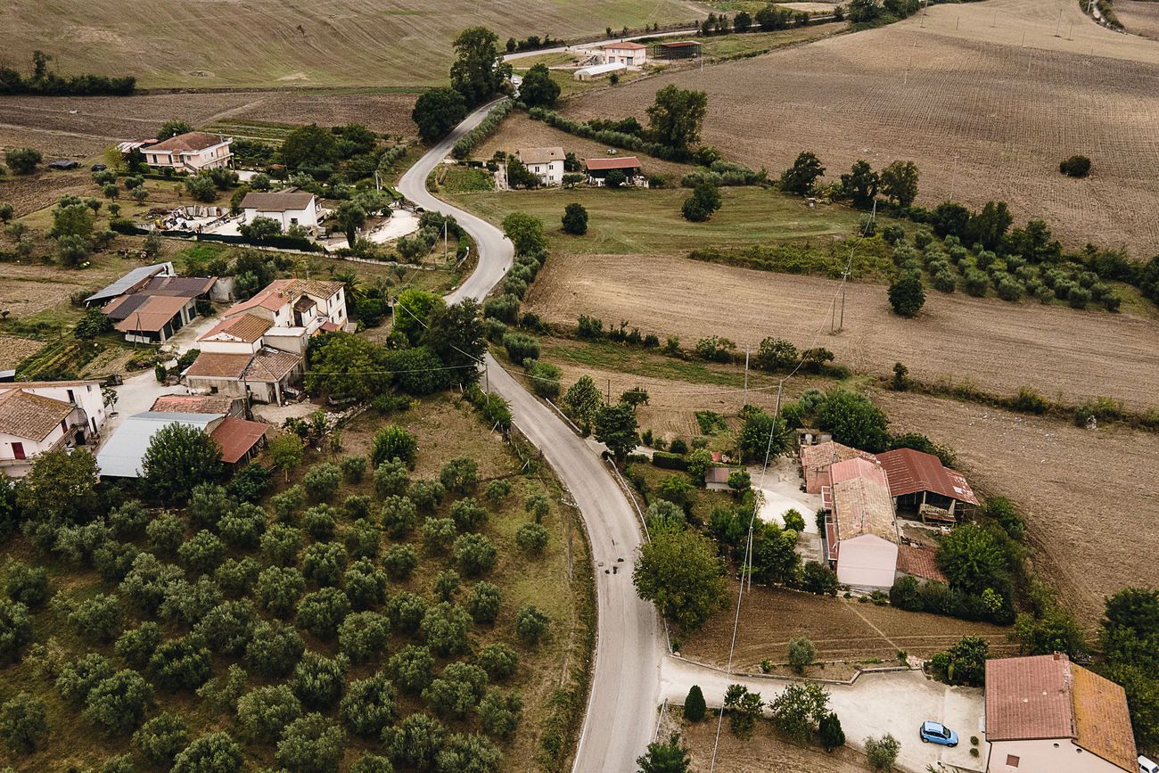
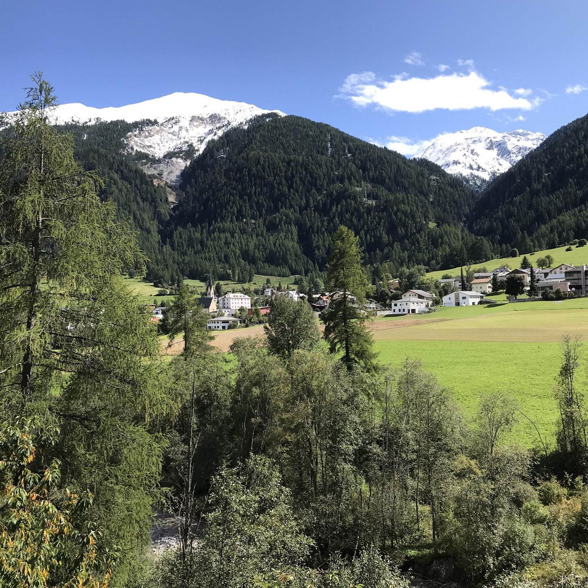
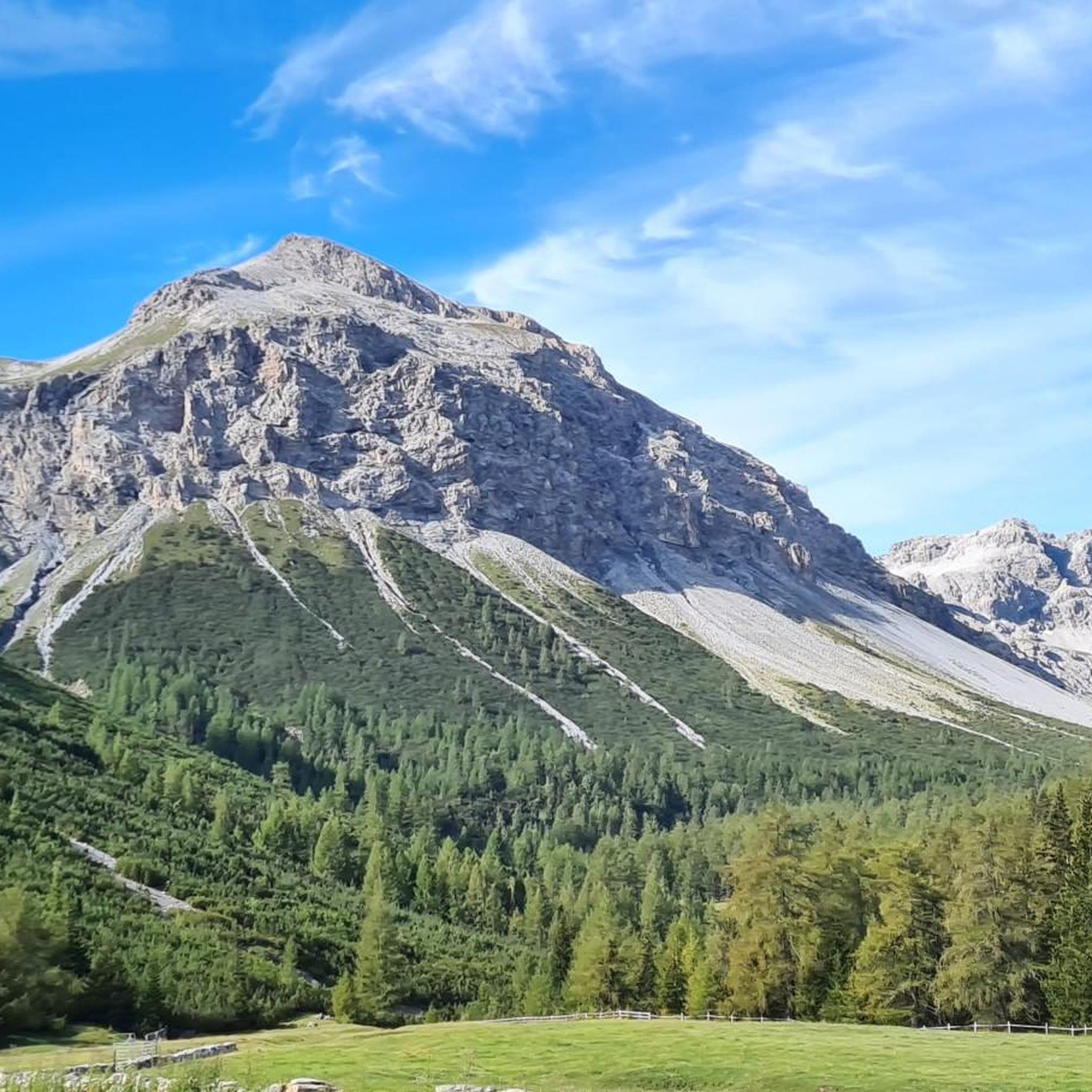
산타 마리아 발 뮈스테어 주변의 다른 모험


커뮤니티 팁

The legendary Stelvio Pass needs no introduction.
6
0

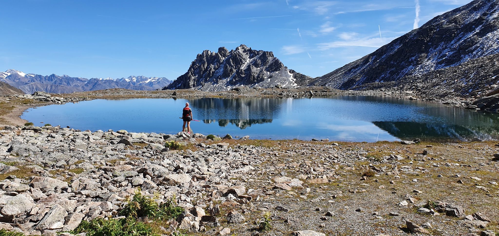
Great view or Rest bench on the way to the trilingual hut
6
0

The Stelvio pass, at an altitude of 2,757 metres, connects Lombardy to Trentino-Alto Adige. The road, paved and generally open from June to the end of September, connects Bormio to Prato allo Stelvio. The Lombard side is connected to the Umbrail pass and, subsequently, to the Swiss Canton of Grisons. The Stelvio pass is the highest car pass in Italy. The South Tyrolean side is famous for its hairpin bends: there are 48 of them. From the pass it is possible to admire the Ortler perfectly.
1
4

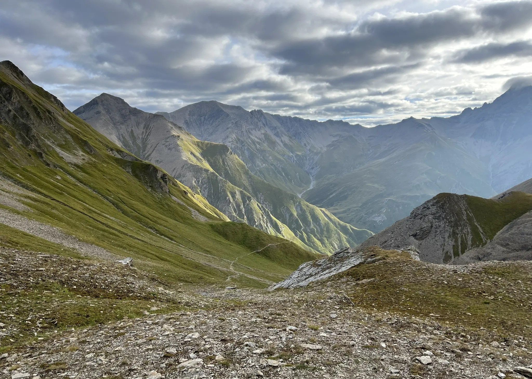
The Döss Radond is located at an altitude of 2,234 metres. It is the highest point of Val Mora. Once here it is all downhill, whether you continue towards Switzerland or towards Cancano. The meaning of the name is "round hump", and indicates the particular shape that the valley took when the glaciers melted. A nice point to stop, rest, admire the view.
6
1

The refuge at the top of the three languages is right on the border between Italy and Switzerland. While the tourists are cavorting below you on the highest pass road in Switzerland (2,501 meters), you can enjoy the view up here undisturbed. In the Refugio you can strengthen yourself or book in for one night. An evening in the hut with people of different nationalities will definitely be sociable. If the Refugio Garibaldi is your final stop, you can get on the bus at the pass road. All information about the accommodation: https://rifugiogaribaldi.it/en
4
1

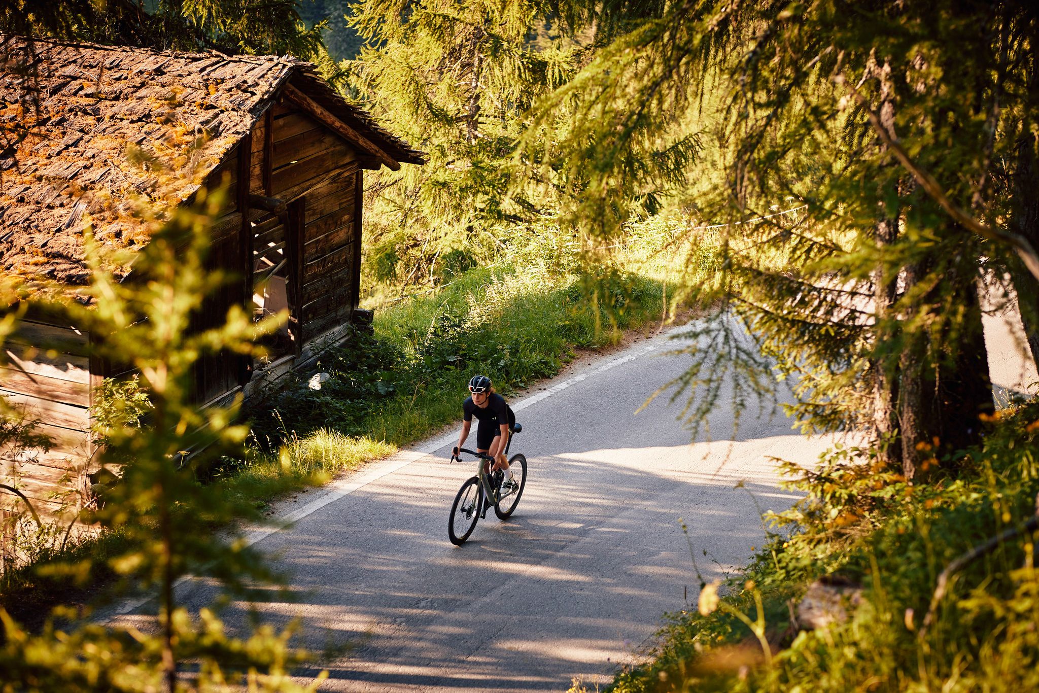
Famous Alpine pass, often Cima Coppi at the Giro d'Italia, the Stelvio is the destination of tens of thousands of cyclists and two-wheel lovers every year. To the three classic slopes (Bormio, Val Mustair and Prato allo Stelvio) we must add the dirt road, very hard but short, which leads to the Tibet Trail.
1
0
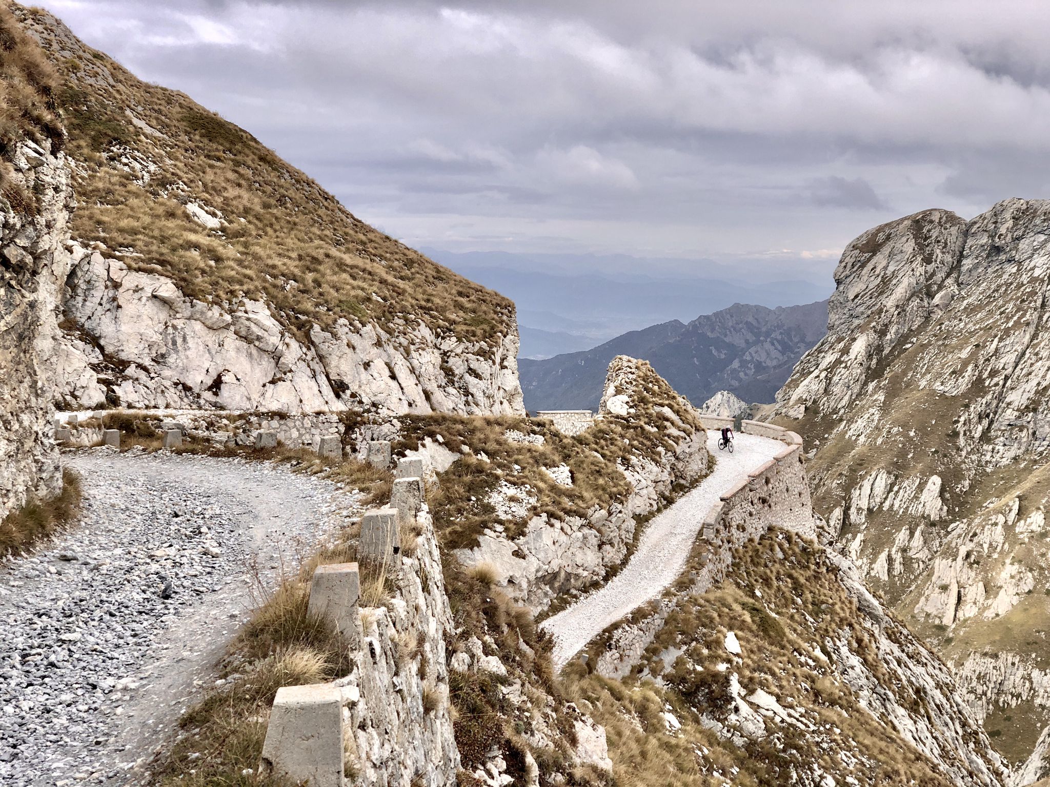
One of the most beautiful viewpoints of these valleys, from Bocchetta di Forcola it is still possible today to observe some remains relating to the First World War, when this area was the scene of hard battles.
3
0
산타 마리아 발 뮈스테어 주변에서 가장 인기 있는 명소


더 살펴보기
이 가이드를 통해 산타 마리아 발 뮈스테어 주변의 더 놀라운 정상들을 확인해보세요:
