경로

플래너

기능

업데이트

App

로그인 또는 가입

앱 다운로드

로그인 또는 가입

로그인 또는 가입

경로
Places to see
Mountain Peaks
오스트리아
어퍼 오스트리아
뮐비어텔

울리히스베르크

울리히스베르크‬에서 가장 멋진 ‪20‬개의 산 정상


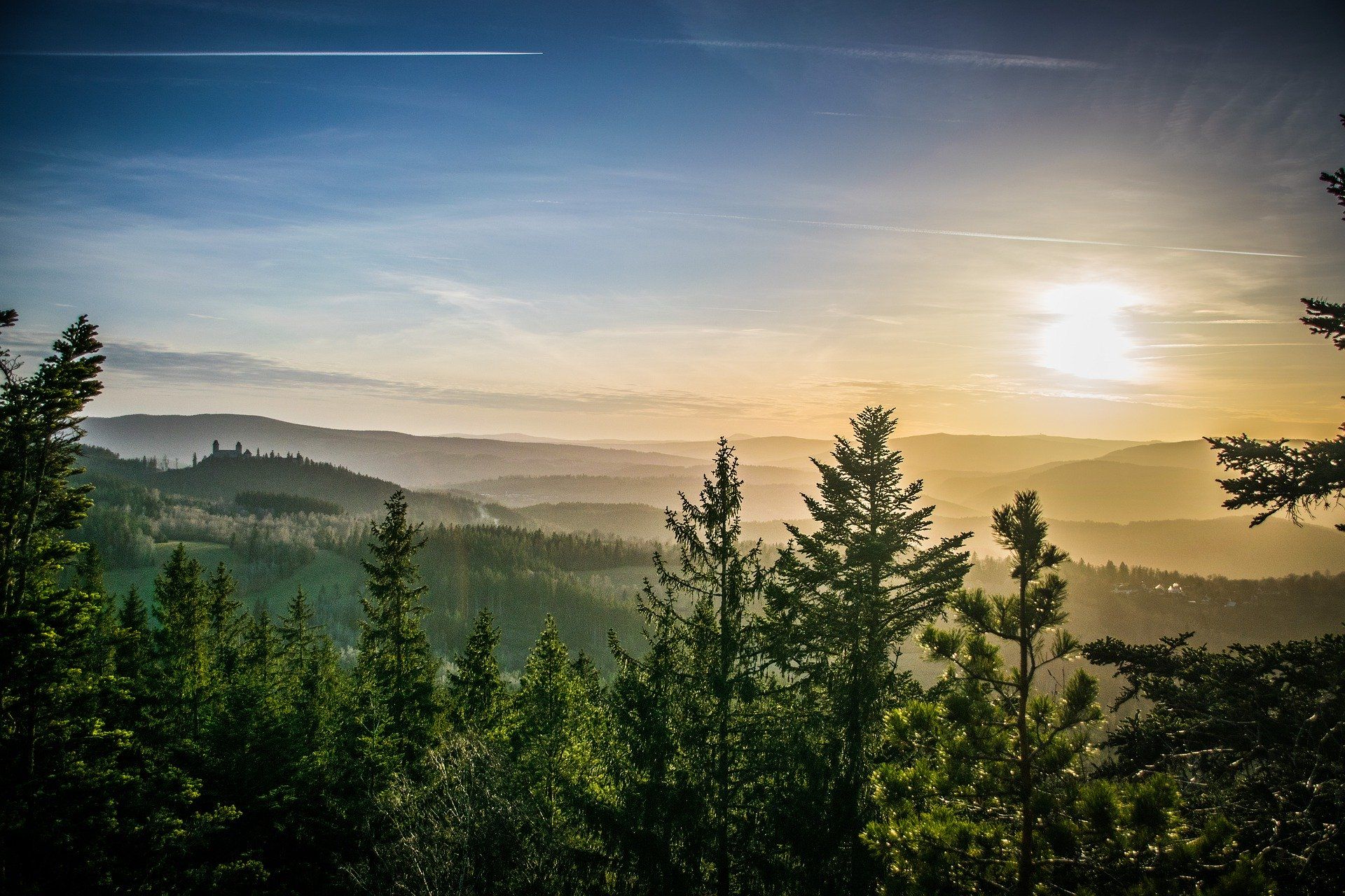
울리히스베르크의 산 정상에 오르면 이 지역의 아름다운 모습을 제대로 구경할 수 있어요. 다만, 20
곳이나 되는 산 정상 중에서 어떤 곳을 가야 할 지 고민된다는 게 문제죠. 울리히스베르크에서 가장 멋진 산 정상을 살펴본 후에 마음에 드는 산 정상을 다음 모험 계획에 추가해보세요.

마지막 업데이트: 5월 11, 2026

드라이제셀펠스

하이라이트 • 자연 기념물

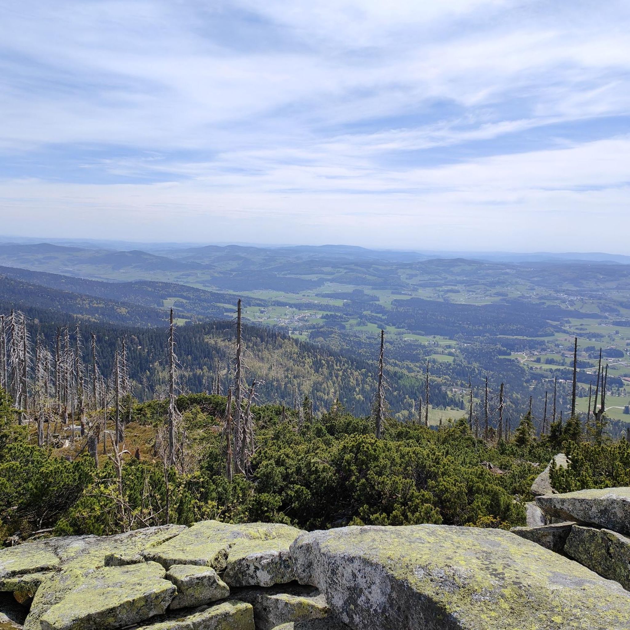
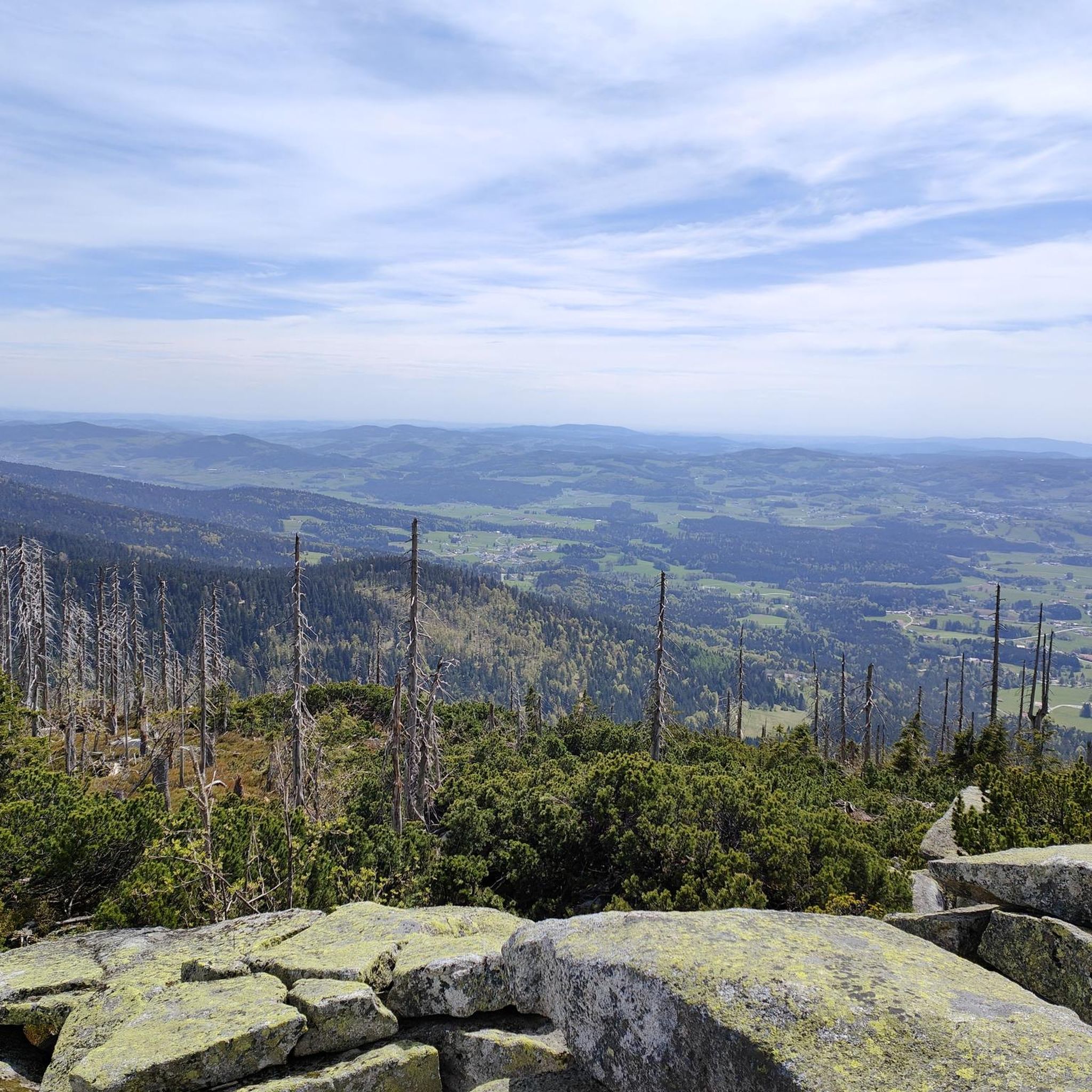
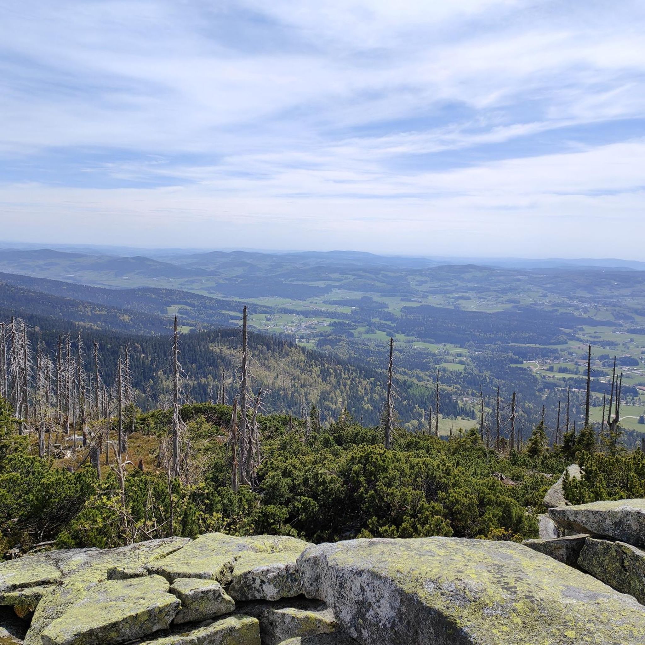
The Dreisessel (1,312 meters) is certainly one of the most striking mountains in the Bavarian Forest.

Impressive along the way is especially the "Stone Sea", a huge cluster of large …

번역자 Google •

에 의해

하이킹 보기

휴대폰으로 전송

저장

It is located in the Lower Bavarian district of Freyung-Grafenau around 370 m (as the crow flies) northwest of the German-Czech border.

번역자 Google •

에 의해

저장

이런 장소를 발견하려면 지금 가입하세요

최고의 싱글 트랙, 봉우리 및 다양한 흥미로운 야외 장소에 대한 추천을 받아보세요.

무료 회원 가입

플뢰켄슈타인 정상 십자가

하이라이트 • 정상

You have a proud 1,378 meters under your feet when you stand up here. The Plöckenstein is one of the higher journeys in this area and impresses with its breathtaking …

번역자 Google •

에 의해

저장

Very nice summit. To the. To get to the cross you have to climb a bit, but the path is no problem even if you are afraid of heights.

번역자 Google •

에 의해

저장

호흐피히트 정상의 십자가

하이라이트 • 정상

The Hochficht is a 1338 meter high mountain in the border area between Austria and the Czech Republic. The area around the Hochficht is developed for skiing. In summer things …

번역자 Google •

에 의해

저장

무료로 가입하여 울리히스베르크 주변의 더 많은 봉우리를 발견하세요.

무료 회원 가입

이미 komoot 계정이 있나요?

오늘 무료 계정으로 시작하세요

다음 모험이 기다리고 있어요.

로그인 또는 가입하기

울리히스베르크 주변 인기 장소

체코 공화국과 오스트리아 사이를 등산하다 – 북왈드카멘 트레일

이리스 화한 이토 아니다 - 부와시 우리 모든

울리히스베르크 하이킹

울리히스베르크 MTB 트레일

울리히스베르크 사이클링

울리히스베르크 로드 사이클링 경로

울리히스베르크 등산

울리히스베르크 러닝 트레일

울리히스베르크 주변 그래블 라이딩

울리히스베르크 주변의 다른 모험

체코 공화국과 오스트리아 사이를 등산하다 – 북왈드카멘 트레일

하이킹 컬렉션 에 의해

Valerie

커뮤니티 팁

Rombea
6월 15, 2024, Dreisesselfels

The Dreisessel in the Bavarian Forest border triangle is one of the most popular excursion and hiking destinations. Well-signposted paths lead to its peaks Dreisesselfels, Hochstein and Bayerischer Plöckenstein (Czech: Trojmezná hora), offering a wonderful view of the Bavarian Forest, the Bohemian Forest and the Mühlviertel.

번역: Google

5

0

A beautiful cross adorns the summit of the highest elevation in the Bohemian Forest. From the 1379 m high summit you have a wonderful view all the way to the Moldau reservoir.

번역: Google

8

0

The Bavarian Plöckenstein is the border between Germany and the Czech Republic and between the Bavarian Forest and the Bohemian Forest. The border stone is located next to the summit cross. At 1365 m, the Bavarian Plöckenstein is one of the highest elevations and, when visibility is good, offers great views as far as the Alps.

번역: Google

5

0

Skiing on the Hochficht is always nice. Slopes are well prepared and the "survive's hut" has a treat for everyone ⛷️🍰🍗🇦🇹

번역: Google

0

0

It is located in the Lower Bavarian district of Freyung-Grafenau around 370 m (as the crow flies) northwest of the German-Czech border. The mighty rock with a large summit cross can be climbed via a stone staircase. The panorama ranges from the Plöckenstein over parts of the Bohemian Forest, the Almberg, the Haidel and the Lusen to the Rachel. On a clear day, you can see as far as the Alps. Due to the public Dreisesselstraße, which leads to the Dreisesselhaus ("Berggasthof Dreisessel"), which is almost 450 m (as the crow flies) south of the Hochstein, the Dreisesselberg, especially the Hochstein, is often heavily frequented. But there are also marked hiking trails from all directions, for example from the Kreuzbachklause, from Haidmühle-Frauenberg or the Czech Nové Údolí to the Hochstein.

번역: Google

8

0

The Hochficht is a winter sports area, which opens up over the three adjacent mountains Zwieselberg (1163 m above sea level), Reischlberg (1281 m above sea level) and Hochficht.

번역: Google

1

1

For me, the summit wasn't really worthwhile, but the further way was all the more so

번역: Google

0

0

At 1,378 meters above sea level, the summit is the highest mountain in the Austrian part of the Bohemian Forest on the one hand, and the highest elevation in the entire Mühlviertel and in southern Bohemia on the other.

번역: Google

9

1

울리히스베르크 주변에서 가장 인기 있는 경로

울리히스베르크 하이킹

울리히스베르크 주변에서 가장 인기 있는 명소

Places to see

Store rating

komoot 모바일 앱으로 영감을 받아보세요

무료 komoot 계정로 끝없는 야외 모험을 손쉽게 찾고, 맞춤 설정하며 길안내할 수 있어요.

또는

지금 komoot에 가입하세요

Store rating

더 살펴보기

이 가이드를 통해 울리히스베르크 주변의 더 놀라운 정상들을 확인해보세요:

슈바르첸베르크 암 뵈머발트클라퍼 암 호흐피히트율바흐파르키르헨 임 뮐크라이스노이스티프트 임 뮐크라이스호프키르헨 임 뮐크라이스오버카펠장크트 베이트 임 뮐크라이스Peilstein im Mühlviertel푸츨라인스도르프콜러슐라그아체베르그아이겐-슐레글살라인스바흐Böhmerwald외핑네벨베르그쇠네그알텐펠덴니더카펠아피젤아혼헬펜베르크호르비치렘바흐 임 뮐크라이스로르바흐-베르크장크트 요한 암 윔베르크안라이트리히테나우 임 뮐크라이스상트 페테르 암 윔베르크장크트 오스왈드 베이 하슬라흐장크트 마르틴 임 뮐크라이스니더발트키르헨클라인첼 임 뮐크라이스장크트 스테판 암 발데키르히베르크 옵 데어 도나우하슬라흐 데어 뮐

근처 어드벤처 가이드

Böhmerwald 즐길거리

background

새로운 정복을 위한 준비를 하세요

무료로 가입하기

탐험하기
경로경로 플래너기능하이킹MTB 트레일로드 사이클링 경로바이크패킹사이트맵
앱 다운로드
소셜 미디어에서 팔로우하기

© komoot GmbH

개인 정보 보호 정책