칼 암 그로스글로크너에서 가장 멋진 20개의 산 정상
칼 암 그로스글로크너의 산 정상에 오르면 이 지역의 아름다운 모습을 제대로 구경할 수 있어요. 다만, 20
곳이나 되는 산 정상 중에서 어떤 곳을 가야 할 지 고민된다는 게 문제죠. 칼 암 그로스글로크너에서 가장 멋진 산 정상을 살펴본 후에 마음에 드는 산 정상을 다음 모험 계획에 추가해보세요.
마지막 업데이트: 10월 9, 2026
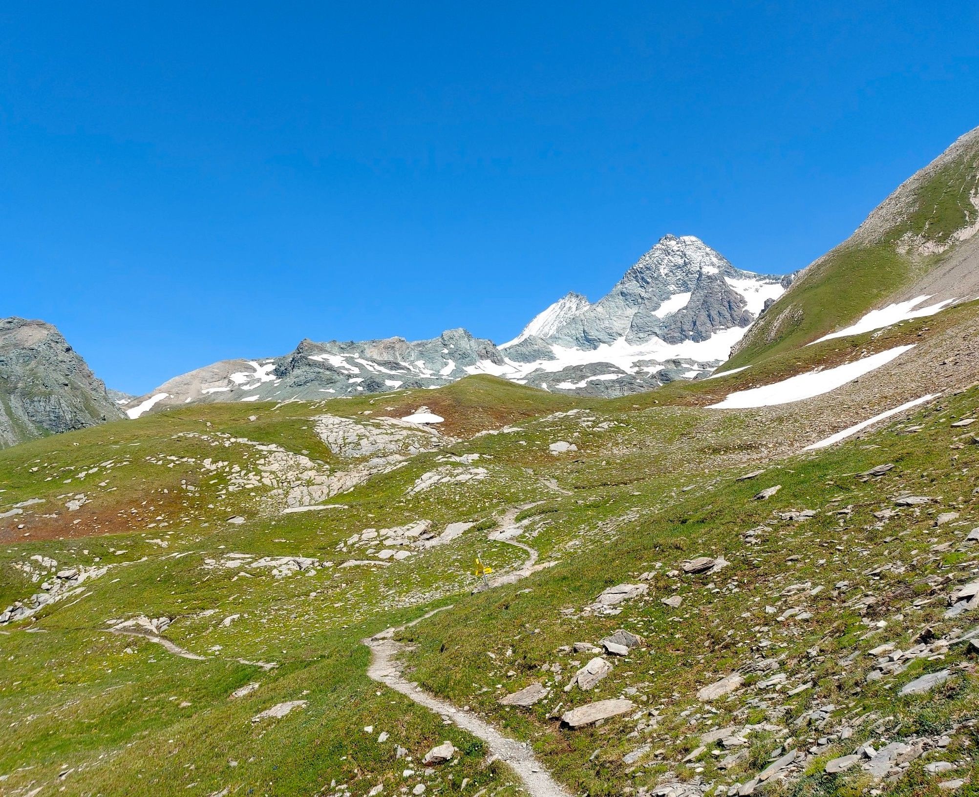
그로스글로크너 정상
하이라이트 • 정상
번역자 Google •
팁에 의해


이런 장소를 발견하려면 지금 가입하세요
최고의 싱글 트랙, 봉우리 및 다양한 흥미로운 야외 장소에 대한 추천을 받아보세요.
그로세스 비스바흐호른 정상
하이라이트 • 정상
번역자 Google •
팁에 의해

카이저 프란츠 요제프스 회에 (카이저 프란츠 요제프 전망대)
하이라이트 • 전망대
번역자 Google •
팁에 의해


무료로 가입하여 칼 암 그로스글로크너 주변의 더 많은 봉우리를 발견하세요.
이미 komoot 계정이 있나요?
오늘 무료 계정으로 시작하세요
다음 모험이 기다리고 있어요.
칼 암 그로스글로크너 주변 인기 장소
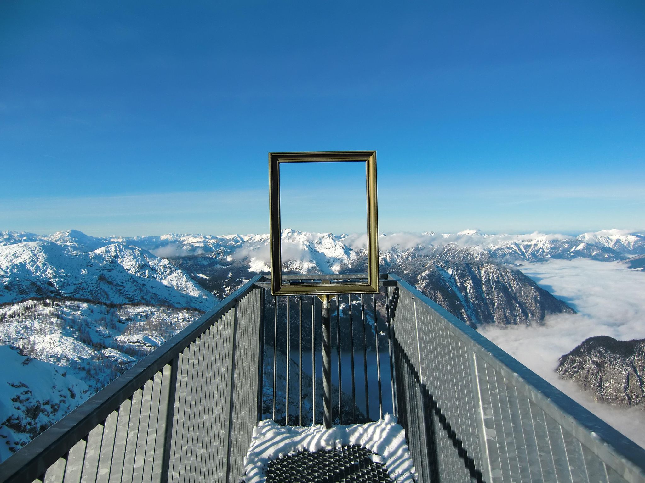
#Winterlove — 14 tips for your winter adventure in Austria
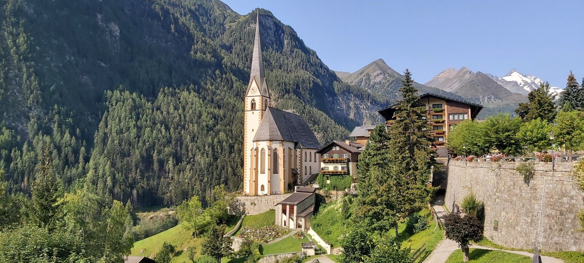
산과 국경을 걸어서 - 오스트리아의 하이 앤 홀리 순례로
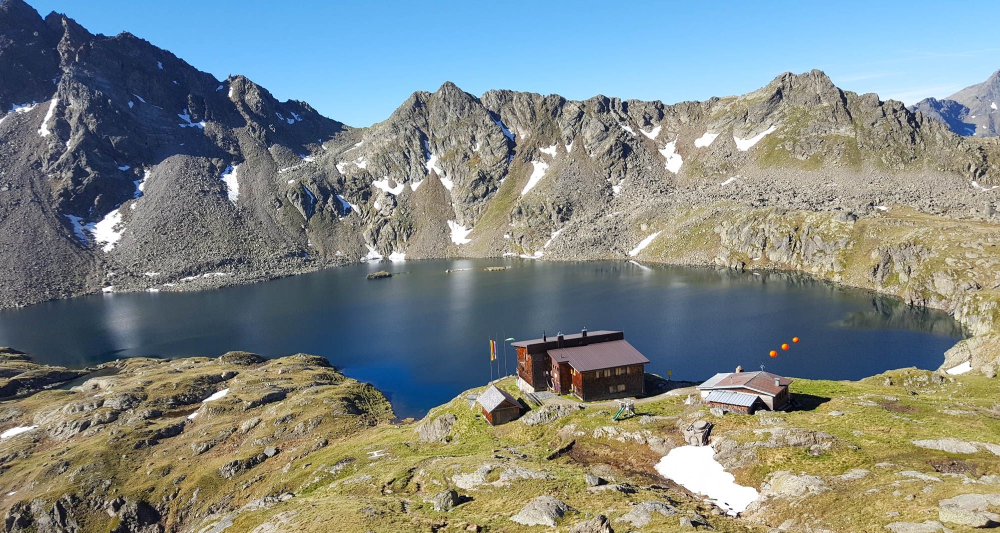
오스트리아 쇼버 그룹 - 위너 헤엔베그 6단계
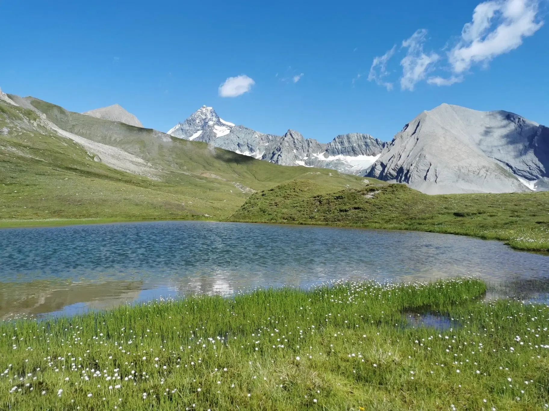
오스트리아 최고봉 탐험 - 글록너 트레크
오스트리아의 최고봉인 그로스글로크너 산을 순환하세요
Alpine bliss on the long-distance hiking trails in East Tyrol
알프스 크로싱 — 알프스를 건너 라인츠까지 9일
글록너크로네 - 호헤 타우런 국립공원의 영광스러운 6일
East Tyrol's Eagle Trail — Great Walks에서 제비처럼 자유롭게

오스트리아를 동서로 거치는 알프스 모험
칼 암 그로스글로크너 주변의 다른 모험


커뮤니티 팁

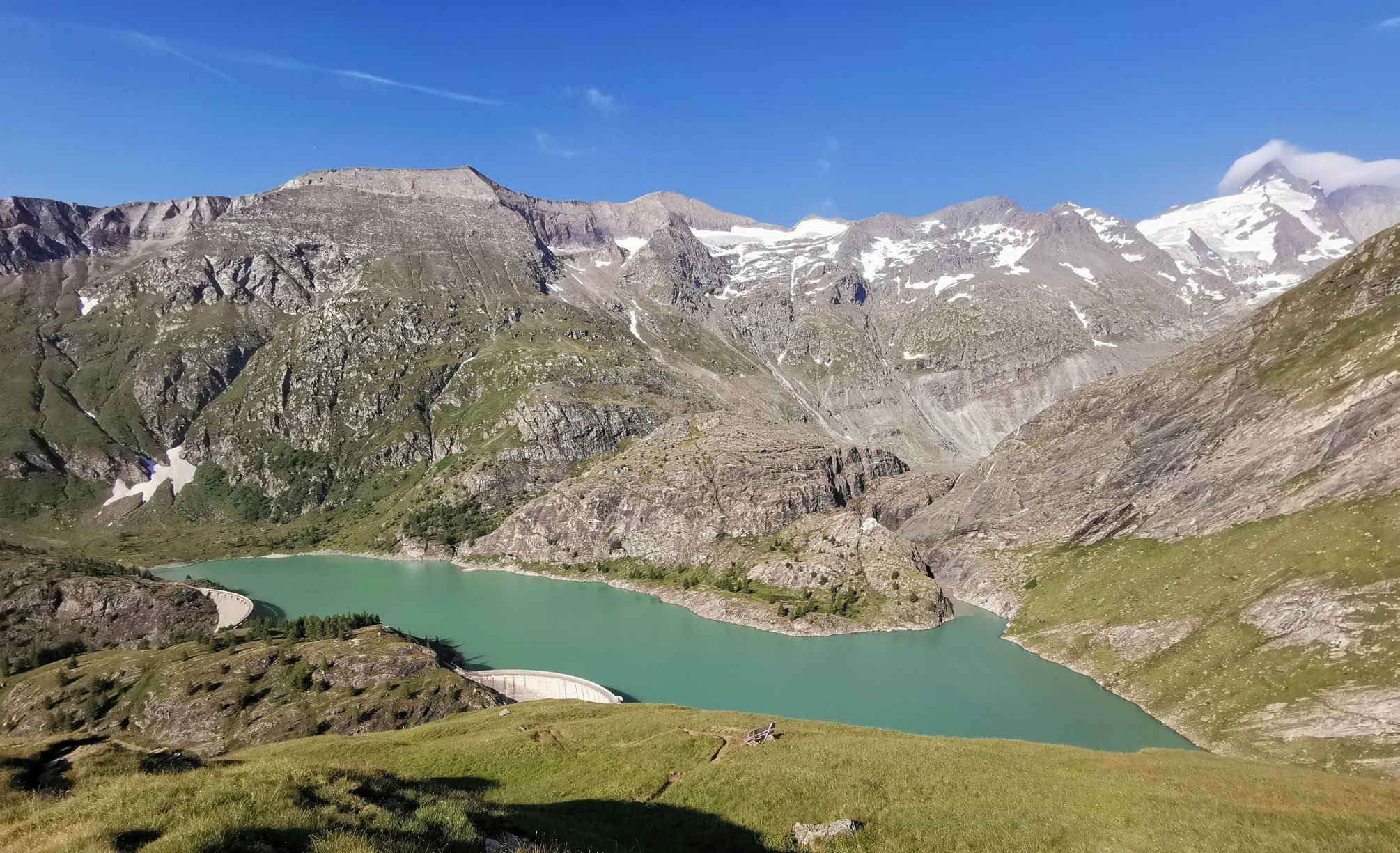
Magnificent views - Kitzsteinhorn, Grossglockner and at your feet the turquoise reservoirs of the Mooserboden. An absolute dream peak (2 highest in the Glockner group) in the state of Salzburg. For a safe ascent, absolutely safe weather conditions, surefootedness and a head for heights are necessary.
6
0

Magnificent! Great view! There is information about the snow situation on the Heinrich-Schwaiger-Haus website. At the end of July there was no snow at all.
2
0

Absolutely worthwhile, sure-footedness and a head for heights are an advantage
1
0

One of the major transnational long-distance hiking trails in this region is the "ALPE-ADRIA-Trail", which leads from the Großglockner over the Nockberge Mountains to Slovenia and further south of Trieste, then to the Mediterranean Sea. Anyone who would like to take a closer look at the first glimpse can follow the route in the ARD media library: there is a two-part (one-hour total) documentary about this tour as part of the Bavarian television program "freizeit. Schmidt Max ...". with their scenic and cultural features. Link to Part 1: https://www.ardmediathek.de/video/freizeit/schmidt-max-wandert-1-2/br-fernsehen/Y3JpZDovL2JyLmRlL3ZpZGVvLzJiMWY5OTIwLWQxY2ItNDVlNy05NzUwLTk1ZDkxZDk2Y2Y4ZA Link to part 2: https://www.ardmediathek.de/video/freizeit/schmidt-max-wandert-von-den-alpen-zum-meer-2-2/br-fernsehen/Y3JpZDovL2JyLmRlL3ZpZGVvLzEyODRjYmFiLWUxNTUtNDM2Ny1iODQwLTA3MTY4OWM0YWNhOQ Of course, there is also a suitable hiking collection on Komoot itself: https://www.komoot.de/collection/314/grenzenlos-wandern-am-alpe-adria-trail
10
0

10th highest mountain in Austria. It's a fabulous place. From there you can see a beautiful panorama of the Großglockner Hochalpenstraße and of the Großglockner if the weather is clear. Can be done without glacier contact, if your start point is Heinrich-Schwaiger-Haus. Crampons and ice axe are recommended, especially in the early summer. I recommend making it 2 days tour because, on the first day, you can get to the Heinrich-Schwaiger-Haus from the Kaprun Kesselfall and see beautiful lakes and after a delightful oversleep with an amazing view on the lakes, make the summit and return via the bus.
2
1

On through Druchafrt to zell am see here a wonderful break!
7
0

Relatively easy to climb 3000m. The starting point for the mountain hike is the Alpengasthof Lucknerhaus, from there you can reach the summit in about 3 hours.
2
0

The highest mountain in Austria, relatively easy to do on the normal route.
2
0
칼 암 그로스글로크너 주변에서 가장 인기 있는 명소


더 살펴보기
이 가이드를 통해 칼 암 그로스글로크너 주변의 더 놀라운 정상들을 확인해보세요:
