엘스터베르다 최고의 라이딩 경로
4.2
(164)
1,641
자전거 타는 사람
35
라이딩
엘스터베르다에서 로드 사이클링을 하실 계획인가요? 엘스터베르다의 모든 로드 라이딩 중에서 가장 멋진 라이딩 장소를 엄선했으니 엘스터베르다에서 가장 마음에 드는 로드 사이클링 경로를 찾아보세요.
마지막 업데이트: 10월 14, 2026
4.0
(2)
21
자전거 타는 사람
보통 도로 자전거 타기. 모든 체력 수준에 적합. 투어 중 라이딩하기 어려운 비포장 구간이 있을 수 있음.
5.0
(2)
13
자전거 타는 사람
75.8km
02:58
200m
200m
보통 도로 자전거 타기. 좋은 체력 필요. 지면 대부분이 잘 포장되어 있고 라이딩하기 쉬움.

4.6
(5)
18
자전거 타는 사람
74.2km
02:54
140m
140m
보통 도로 자전거 타기. 좋은 체력 필요. 지면 대부분이 잘 포장되어 있고 라이딩하기 쉬움.
4.2
(5)
14
자전거 타는 사람
66.2km
02:43
180m
180m
보통 도로 자전거 타기. 좋은 체력 필요. 투어 중 라이딩하기 어려운 비포장 구간이 있을 수 있음.
4.0
(2)
9
자전거 타는 사람
22.5km
00:55
80m
80m
초급용 로드 라이딩. 모든 체력 수준에 적합. 지면 대부분이 잘 포장되어 있고 라이딩하기 쉬움.
더 다양한 경로와 다른 탐험가들의 추천을 살펴보세요.
이미 komoot 계정이 있나요?
투어 추천은 다른 사람들이 komoot에서 완료한 수천 개의 활동을 바탕으로 구성되어 있습니다.
오늘 무료 계정으로 시작하세요
다음 모험이 기다리고 있어요.


커뮤니티 팁

여기 St. Catharina 시 교회 바로 옆
0
0

Biotürme에 대한 오디오 가이드가 Hearonymus 앱을 통해 제공됩니다. 이 앱을 사용하신다면 https://direct.hearonymus.com/guide/1072 에서 들어보시거나 앱에서 "Biotürme Lauchhammer"를 검색해 보세요. 오디오 가이드는 "Kulturland Brandenburg" 프로젝트의 일환으로 2021년에 제작되었으며 브란덴부르크 주의 과학, 연구 및 문화부 자금으로 지원되었습니다. 감사합니다
1
0

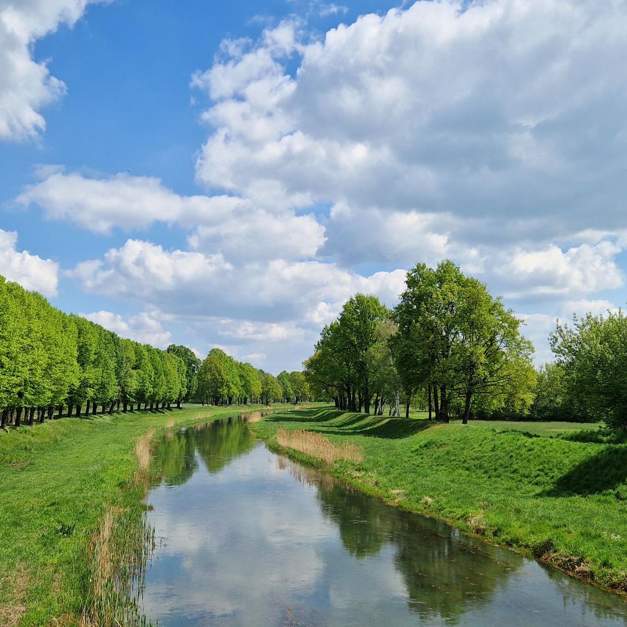
The Black Elster Cycle Path is a 190-kilometer-long long-distance cycle route in southern Brandenburg and northern Saxony, with short sections also extending into eastern Saxony-Anhalt. The cycle path runs from the source of the Black Elster River at 317 meters above sea level to its confluence with the Elbe River at 69 meters above sea level, through the foothills of the Lusatian Mountains near Kamenz and later largely directly along the Black Elster's dike. It is marked with a magpie symbol.
0
0

The church, a Baroque hall church, originated from a medieval brick building and is probably the oldest structure in the city. It was repeatedly destroyed and rebuilt due to fires. The current structure is likely the reconstruction from around 1718. The interior is dominated by the Leipzig green paint applied in 1831. https://de.wikipedia.org/wiki/St.-Katharina-Kirche_(Elsterwerda)
0
0
Initially, a rectangular concrete fountain was erected in the park in 1967. Inside, there were five fountain-like water features. During the term of Mayor Wolf-Dieter Schwarz (1975–1991), bronze figures were later integrated. These were designed by the Hohenleipisch sculptor Hans Eickworth, who died in 1995, and modeled after the Elsterwerda town coat of arms used until 1994. The fountain's main figure is a bronze magpie. Two other bronze figures depict lilies. The lilies originally came from the coat of arms of the noble family von Köckeritz, who were the lords of Elsterwerda from 1367 to 1512. They were later also incorporated into the Elsterwerda town coat of arms. https://de.wikipedia.org/wiki/Markt_(Elsterwerda)
1
0
The Saxon post milestone stands near the Protestant town church of St. Catherine on the main street. This distance marker, dating from 1738, is considered an important piece of cultural heritage and a landmark that shapes the townscape. In August 2025, the approximately 4.60-meter-high column was dismantled for professional restoration. https://www.elsterwerda.de/kursaechsische-postmeilensaeule-erstrahlt-im-neuen-glanz/
1
0

Finally, smooth asphalt again. The bike path is well developed.
0
0
엘스터베르다 주변에서 가장 인기 있는 명소


더 살펴보기
다른 지역의 최고의 로드 사이클링 경로를 살펴보세요.
