라이트 임 윙클 최고의 워킹 & 하이킹 경로
4.6
(9321)
38,180
등산객
261
하이킹
정확한 경로를 찾는 것이 때로는 어렵지만 라이트 임 윙클에서 하이킹을 하면 다양한 경치를 마음껏 감상할 수 있답니다. 라이트 임 윙클에서 가장 멋진 하이킹과 워킹 중에서 마음에 드는 활동을 시작해보세요.
마지막 업데이트: 10월 7, 2026
4.6
(891)
3,082
등산객
9.87km
03:32
250m
250m
보통 하이킹. 좋은 체력 필요. 대부분 갈 수 있는 길. 미끄러지지 않게 조심해야 함.
4.8
(487)
1,842
등산객
7.45km
03:22
530m
530m
보통 하이킹. 좋은 체력 필요. 대부분 갈 수 있는 길. 미끄러지지 않게 조심해야 함.

4.8
(178)
658
등산객
12.6km
04:44
660m
660m
어려운 하이킹. 좋은 체력 필요. 튼튼한 신발을 신고 미끄러지지 않게 조심해야 하며, 높은 산을 오른 경험이 있어야 함.
4.7
(160)
543
등산객
17.7km
05:46
760m
760m
어려운 하이킹. 우수한 체력 필요. 대부분 갈 수 있는 길. 미끄러지지 않게 조심해야 함.
4.8
(64)
252
등산객
14.6km
05:07
480m
480m
어려운 하이킹. 우수한 체력 필요. 대부분 갈 수 있는 길. 미끄러지지 않게 조심해야 함.
더 다양한 경로와 다른 탐험가들의 추천을 살펴보세요.
이미 komoot 계정이 있나요?
투어 추천은 다른 사람들이 komoot에서 완료한 수천 개의 활동을 바탕으로 구성되어 있습니다.
오늘 무료 계정으로 시작하세요
다음 모험이 기다리고 있어요.
라이트 임 윙클 주변 인기 장소
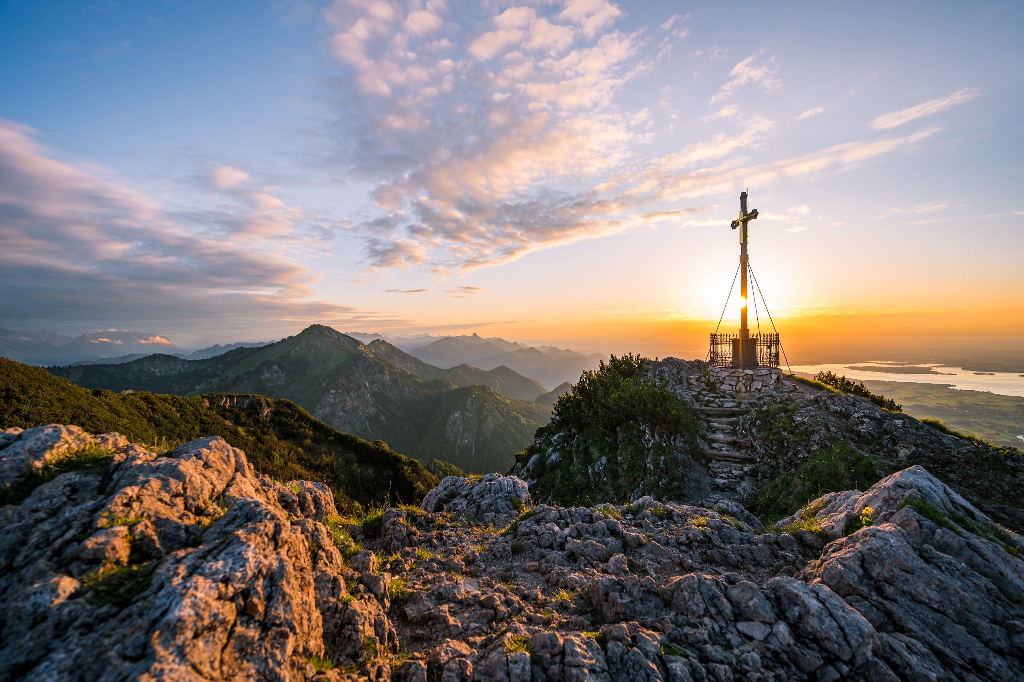
Autumn in Chiemgau – an atmospheric hiking break for two

Hiking through Bavaria's cultural landscapes
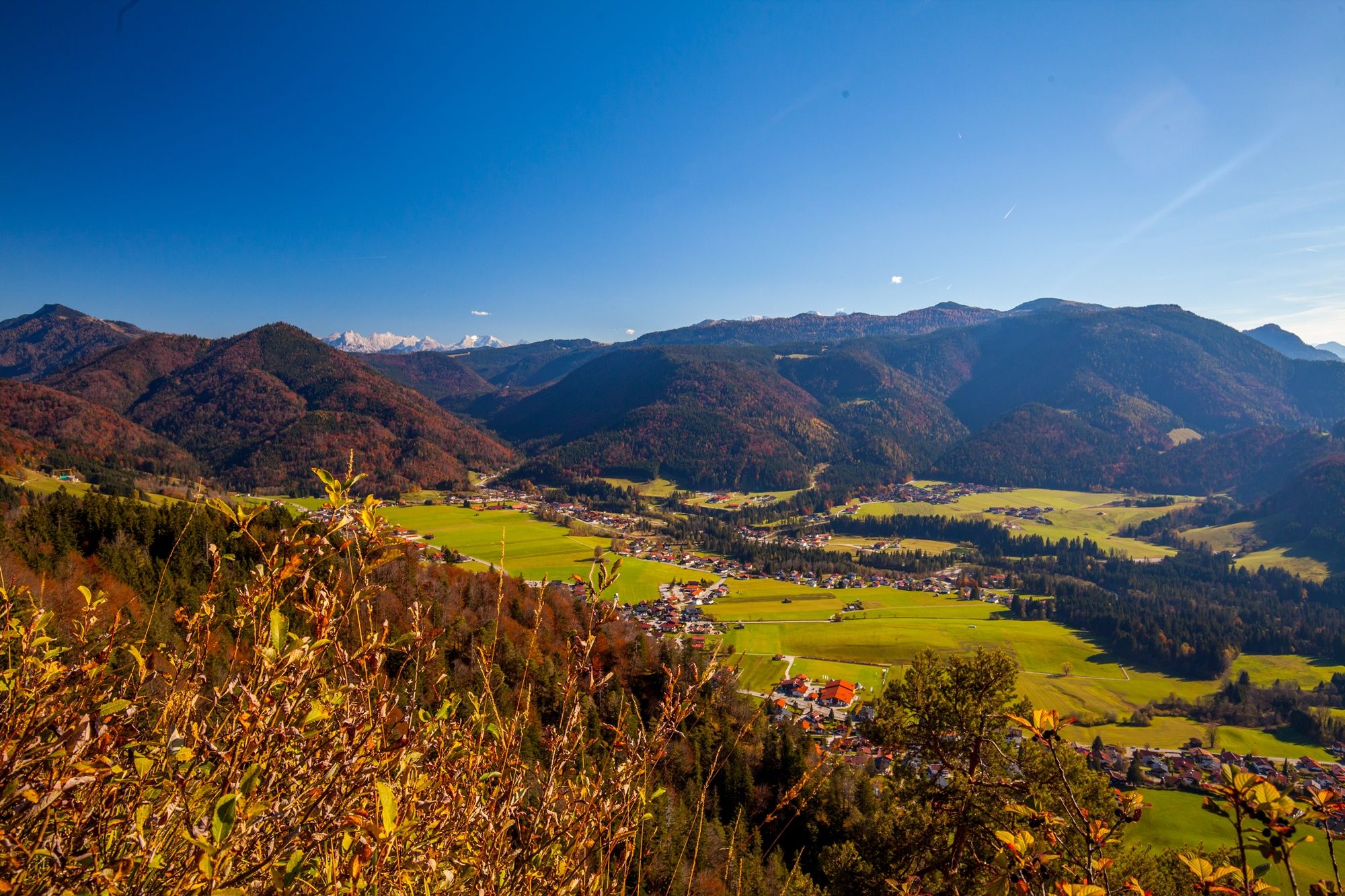
Autumn time, hiking time – seven Tours in Reit im Winkl
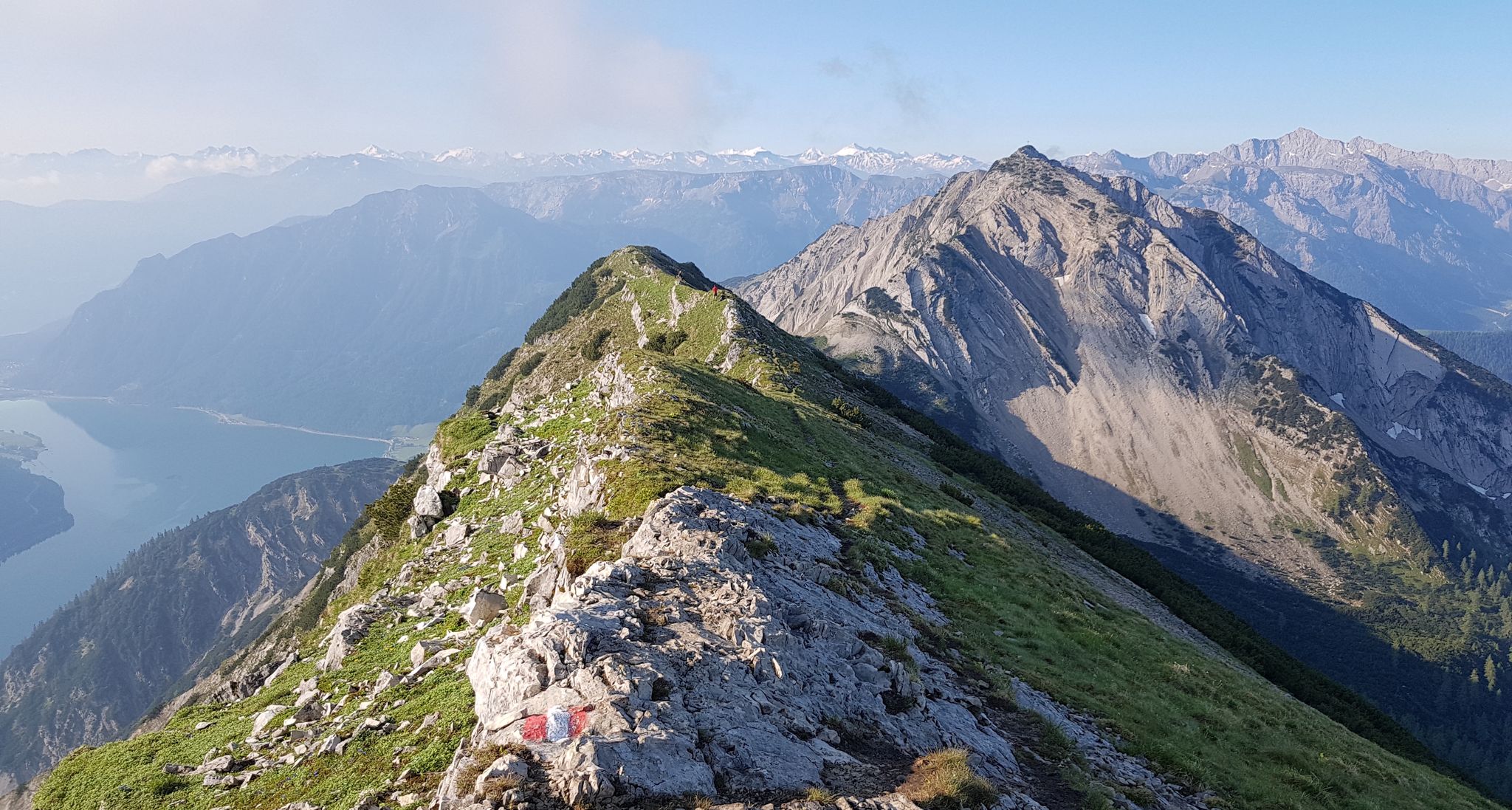
타이롤의 놀라운 십일꼭대기 걸음걸이 일곱
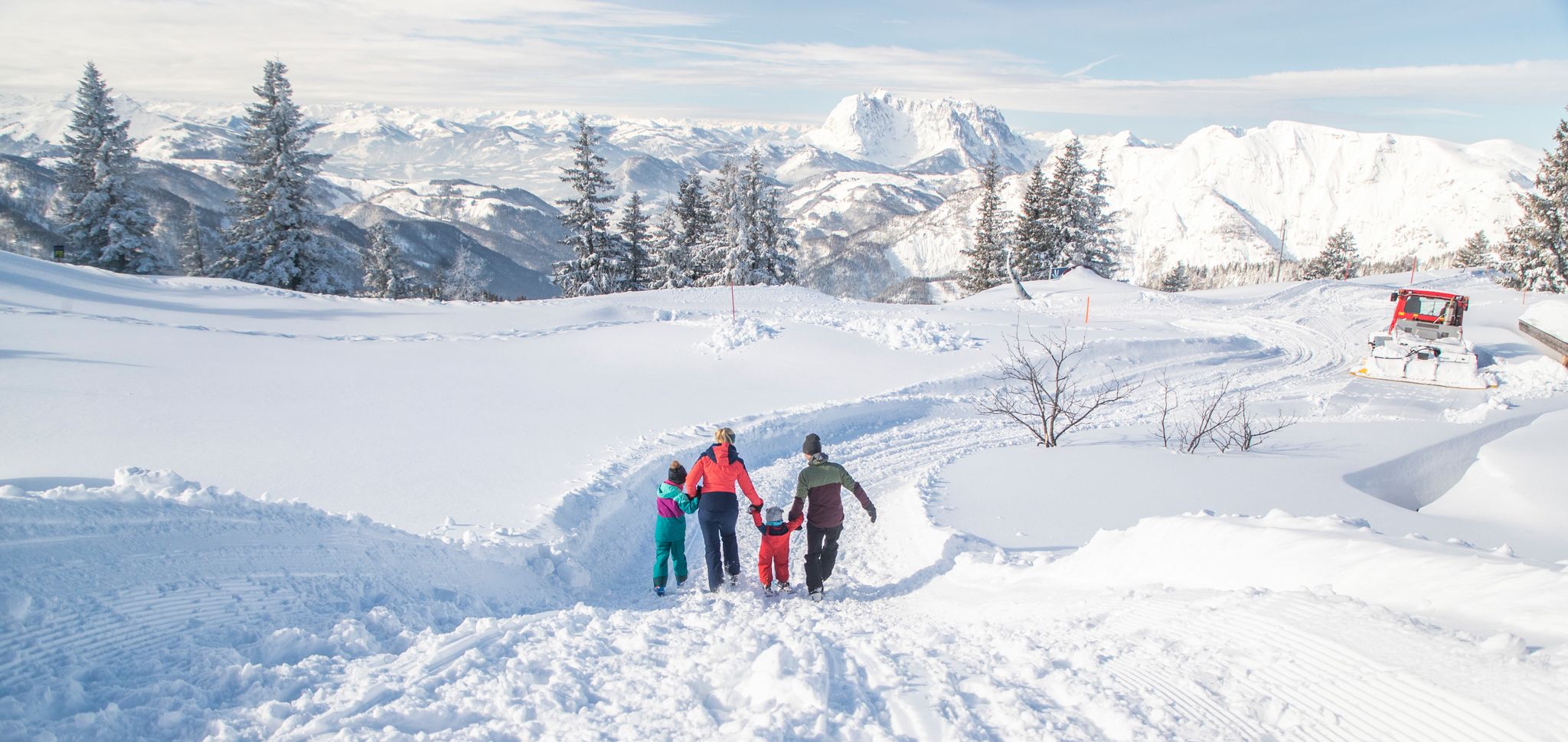
Winter fun for the whole family at Steinplatte Winklmoosalm
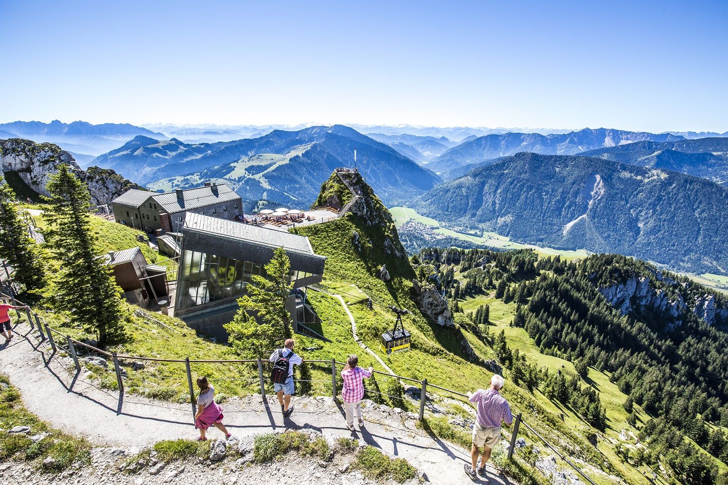
A little help to the top – mountain railways & cable cars in Chiemgau
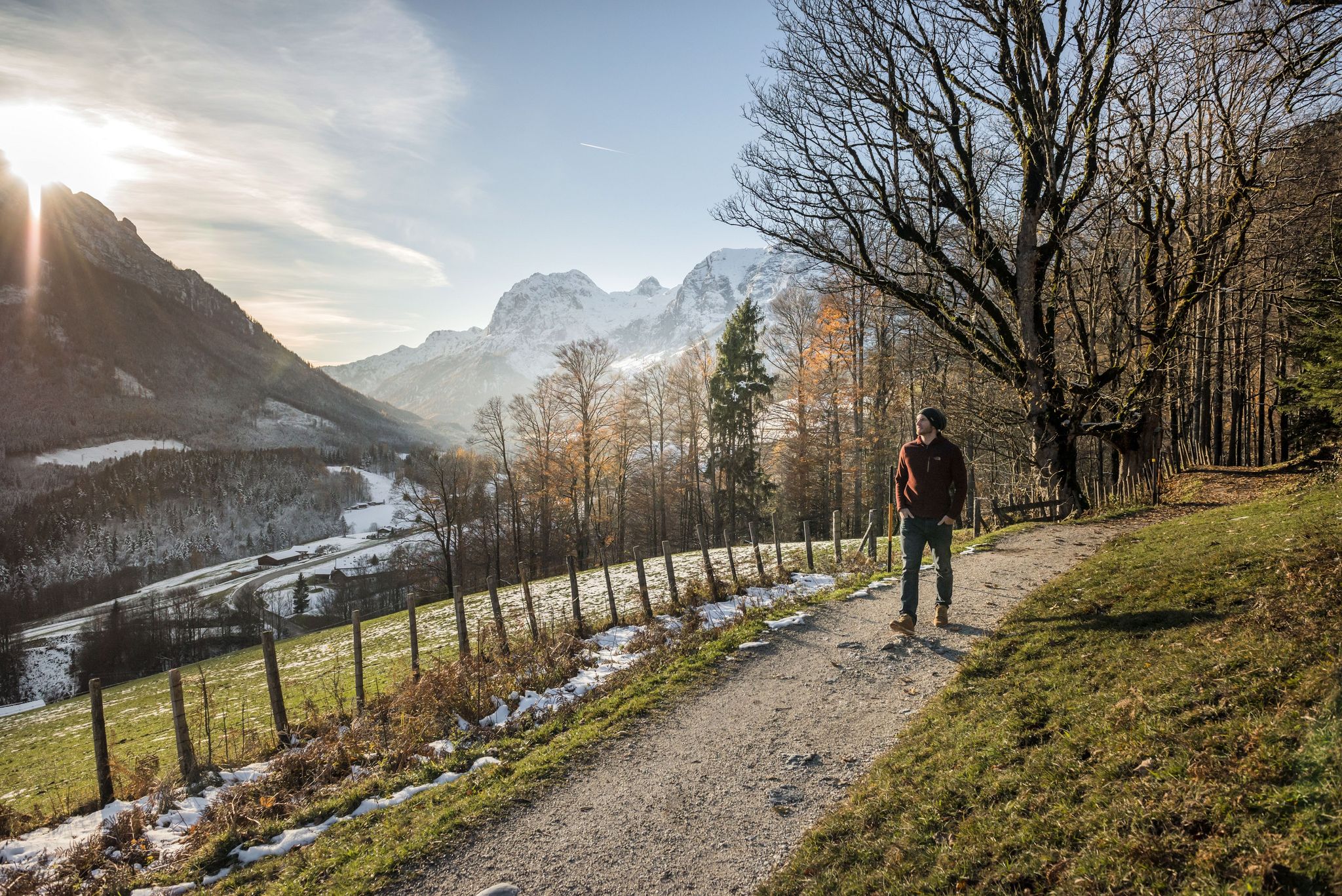
8 delightful winter hikes in Upper Bavaria
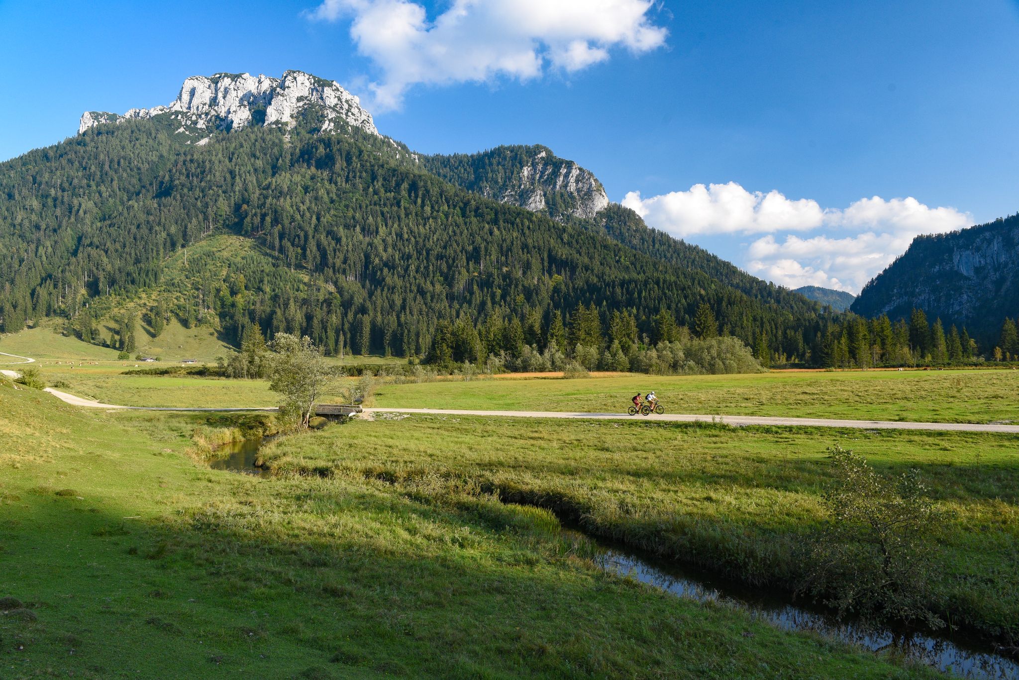
Challenging rides on your MTB in Reit im Winkl
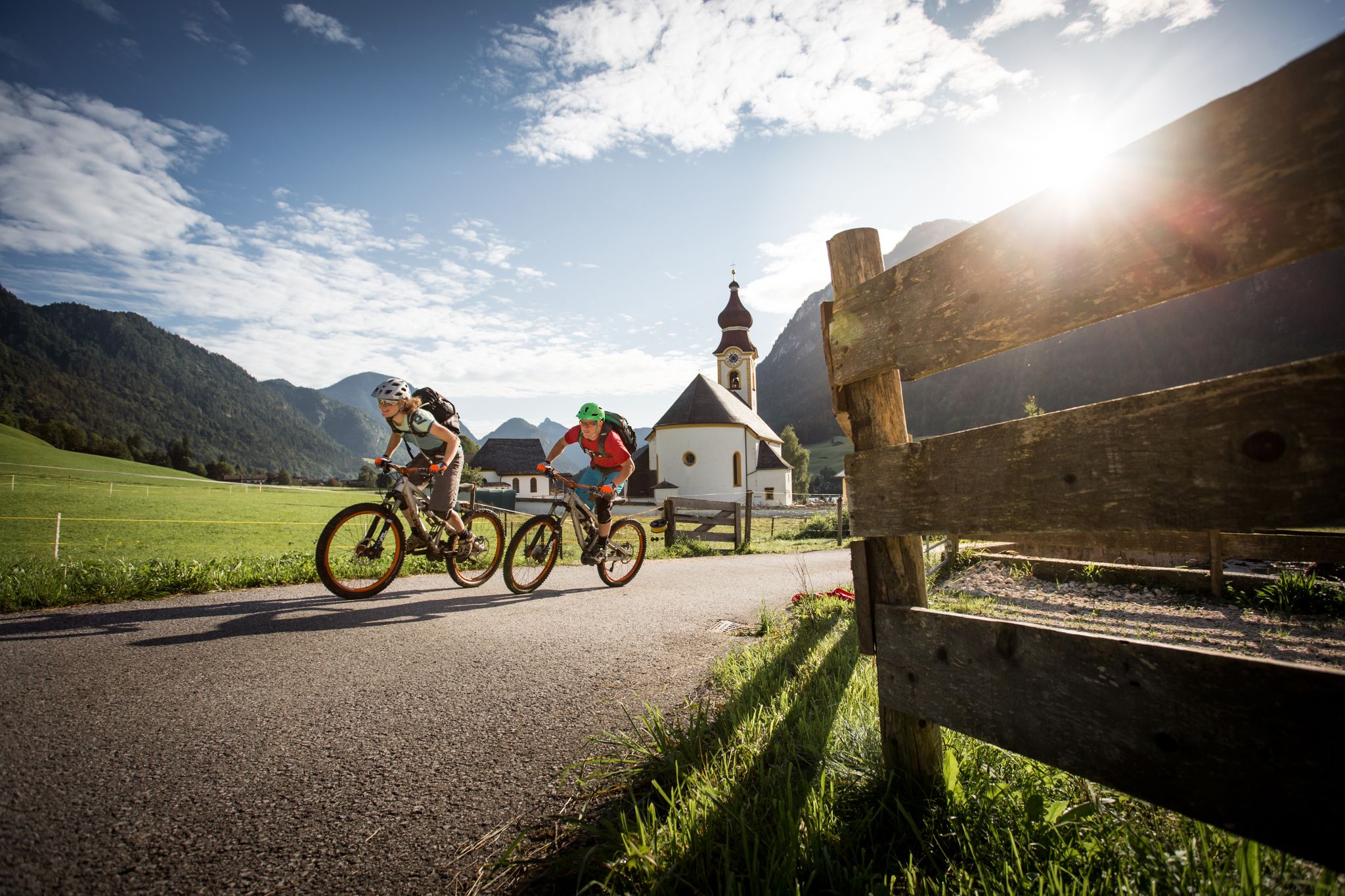
E-MTB – 바츠만 호흐쾨니히 서킷 높은 곳에서
독일 알프스 길: 보덴젤레에서 쾨닉젤레까지
라이트 임 윙클 주변의 다른 모험


커뮤니티 팁

이곳에서는 숲 속을 여유롭게 거닐 수 있습니다. 이 길은 오버뵈센과 운터뵈센을 로이트 임 빈클과 연결합니다. 길은 넓은 구간에 걸쳐 완만하게 오르막길이며, 하이커와 자전거 이용자가 함께 이용하기에 충분히 넓습니다.
1
0
여기서 좋은 냄새가 나는 것은 주변의 산 소나무 때문입니다. 키가 거의 머리 위로 솟아오르지 않지만, 당신은 숲 한가운데 서 있습니다. 식물학적으로 산 소나무에 속하며, 높이가 3미터를 넘지 않습니다. 줄기는 땅에 가깝게 유지되고 가지는 빽빽하게 위로 자랍니다. 따뜻한 날에는 송진 향이 나는 이 식물들은 토양 침식을 방지하고 겨울에는 눈사태를 막아줍니다.
1
0
Reit im Winkl 상공 약 1.250미터 지점에 트라운슈타인 지역에서 가장 큰 고산 목초지인 헤머슈펜알름(Hemmersuppenalm)이 있습니다. 다소 기묘한 이름은 식물학적 기원을 가지고 있습니다. 이는 흰색 게르마늄(Weißen Germers)의 현지 명칭인 "헤머(Hemmer)"에서 유래했습니다. 가축에게도 유독한 이 허브는 넓은 목초지의 더 습하고 거의 늪지대인 소위 "슢펜(Suppen)"에서 잘 자랍니다. 치엠가우(Chiemgau)에서 카저(Kaser)라고도 불리는 흩어져 있는 산악 오두막들은 엄격한 기념물 보호 하에 있습니다. 멋진 풍경입니다.
1
0

The Hemmersuppenalm is a beautiful plateau near the Hindenburghütte, perfect for hiking and biking, and in winter also for ski touring and cross-country skiing. Its name comes from the white hellebore (also known as white false hellebore or, in some Austrian regions, Hemmer) that grows here in small marshy areas (known locally as "Suppen"). In winter, in addition to the cross-country ski trails, a wonderful winter hiking trail is groomed, allowing for a pleasant 6 km loop starting and ending at the Hindenburghütte. The plateau features numerous alpine huts (Kaser) and the small St. Anna Chapel.
0
0

Dichtleralm에서는 카이저 산맥의 정말 매력적인 전망을 볼 수 있습니다. 특히 공기가 맑을 때 더욱 그렇습니다. 이 알름은 남쪽과 남서쪽을 향한 초원과 공터에서 빌더 카이저의 눈에 띄는 봉우리들을 가리는 시야가 탁 트여 있습니다. 가파른 절벽이 있는 봉우리들이 선명하게 드러납니다.
3
0
슈토이벤뫼저알름(Stoibenmöseralm)에서 멀지 않은 곳에서 특히 목가적인 전망을 즐길 수 있습니다. 앞쪽으로는 푸른 초원과 키엠가우 알프스(Chiemgauer Alpen)의 완만한 언덕이 펼쳐져 있고, 그 뒤로는 멀리 키엠제(Chiemsee) 호수가 반짝입니다. 이곳은 잠시 머물며 자연의 고요함을 느끼고 "바이에른의 바다"와 주변 풍경을 감상하기에 완벽한 장소입니다.
2
0
The Hausbach Waterfall, just a short walk from the town center, offers a unique natural experience. Nestled in a wildly romantic gorge, the Hausbach stream cascades down several steps, creating an impressive natural spectacle, especially in spring and after rainfall. A narrow hiking trail leads along the stream, past rock faces, moss-covered stones, and cool, shady spots that offer welcome refreshment on hot summer days. The waterfall is also part of the "Waterfall Trail," a short, easy circular hike that's also ideal for families. Reit im Winkl thus combines the picturesque beauty of a traditional mountain village with the powerful natural beauty of the Hausbach Waterfall.
2
0

It's beautiful here. When the sun shines, the light is especially beautiful. Looking south, you can see the Wilder Kaiser. In good weather, you can see a bit further. As Ralf Dz writes, you can't see Lake Chiemsee, because the view to the north is toward the Sonnwendköpfl. It's a few meters higher than your current position.
3
0


더 살펴보기
다른 지역의 최고의 하이킹를 살펴보세요.
