20의 많이가지 명소 & 주요 장소
많이에는 둘러볼 만한 장소가 많답니다. 하이킹 또는 사이클링을 좋아한다면 많이에 숨겨진 20
가지 보석을 만날 수 있을 거예요. 이 지역의 주요 명소를 살펴보면서 다음 모험을 계획해보세요.
마지막 업데이트: 10월 23, 2026

Gammersbacher Mühle 농장 및 맥주정원
하이라이트 • 레스토랑
번역자 Google •
팁에 의해

이런 장소를 발견하려면 지금 가입하세요
최고의 싱글 트랙, 봉우리 및 다양한 흥미로운 야외 장소에 대한 추천을 받아보세요.


오늘 무료 계정으로 시작하세요
다음 모험이 기다리고 있어요.
많이 주변 인기 장소
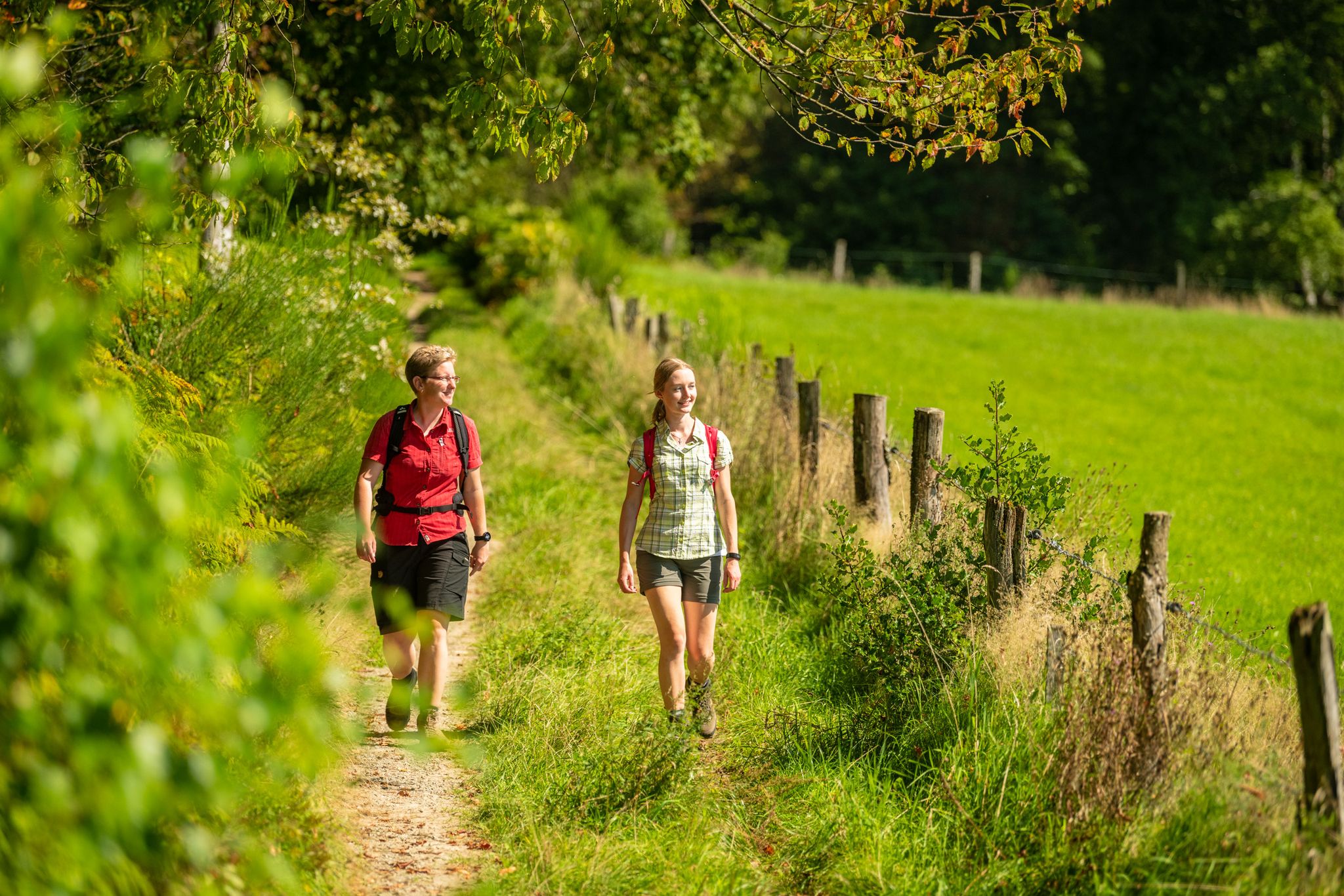
Bergische Rambles – themed and adventure trails in the Bergisches Land region
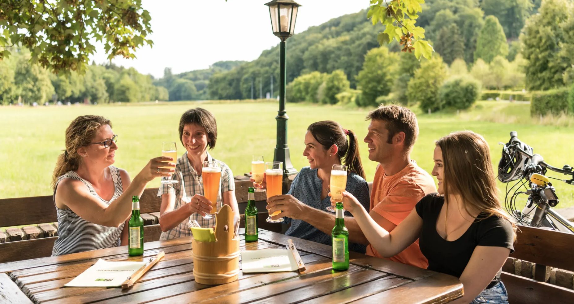
Hike and indulge in regional delights in Bergisches Land
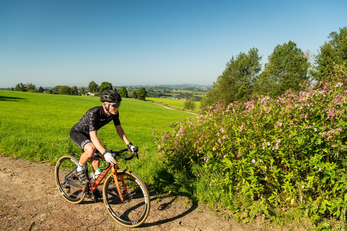
Forests, meadows and valleys — Gravel bike Tours in Bergisches Land
The Bergische Weg - Germany's most beautiful hiking trail 2024
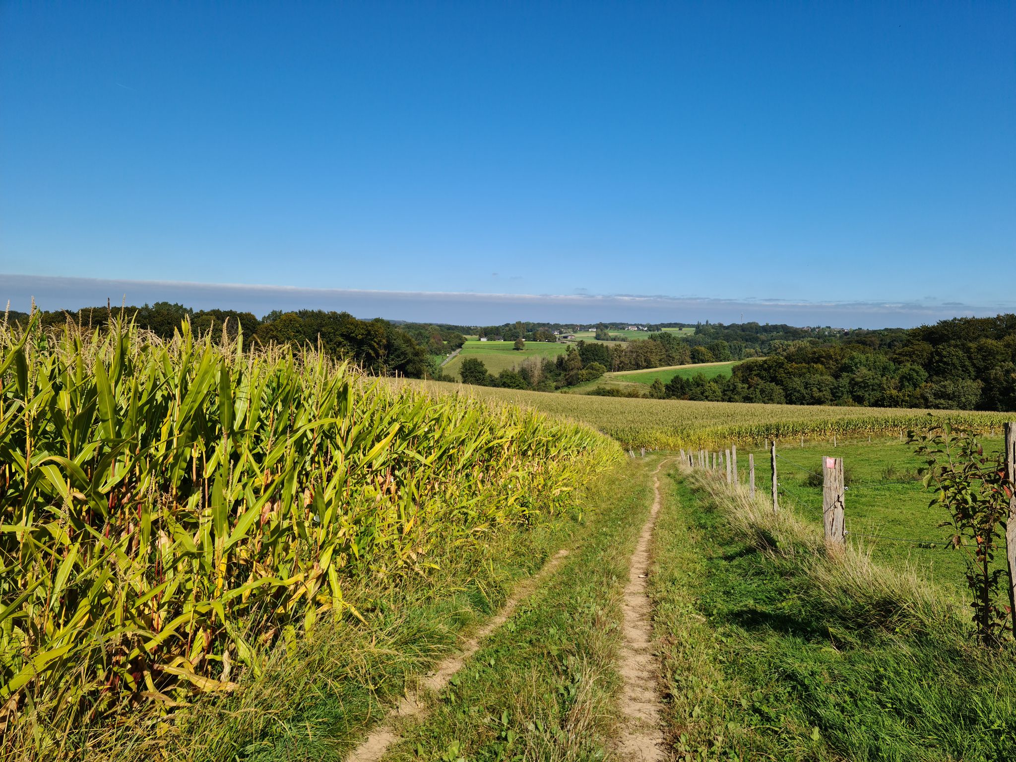
산지의 탐험과 등산
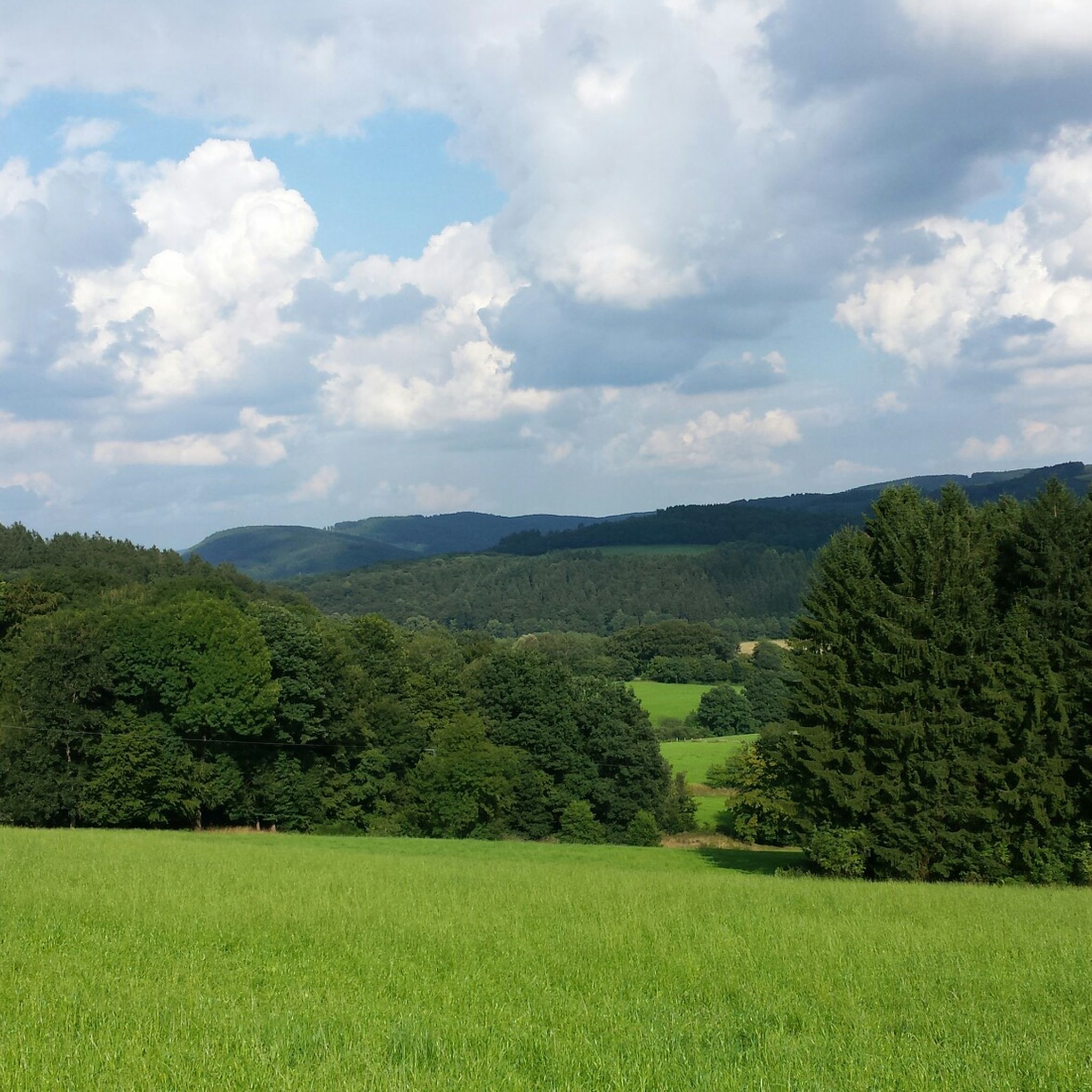
많이 하이킹
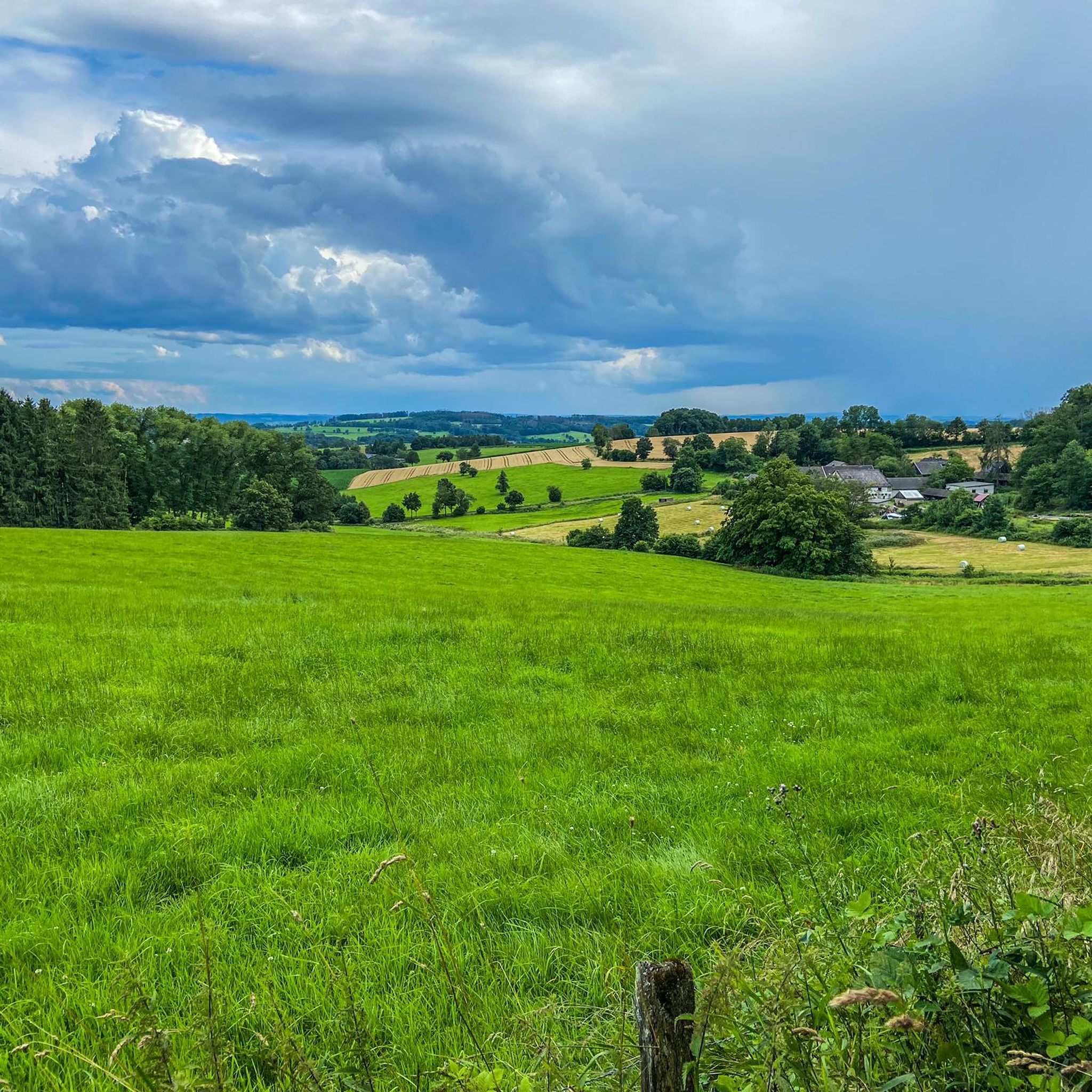
많이 사이클링
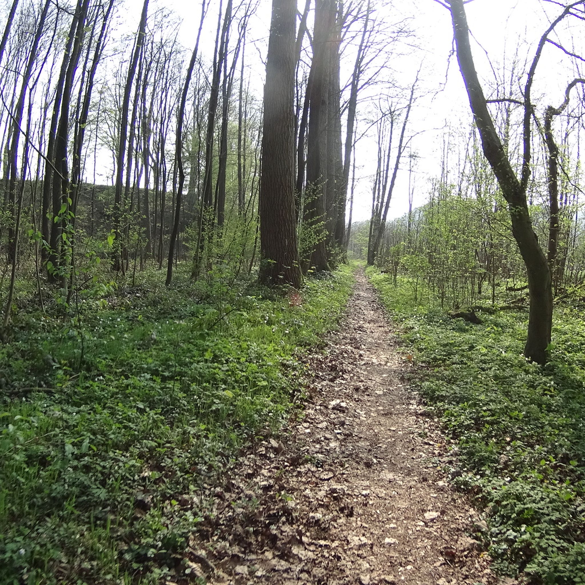
많이 MTB 트레일
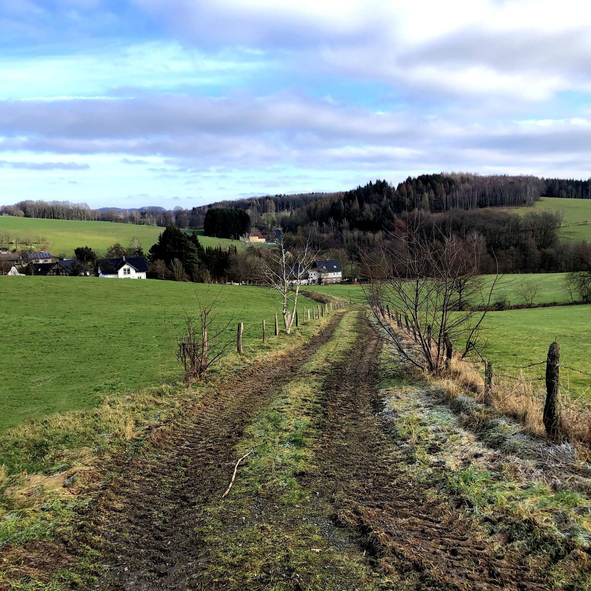
많이 주변 그래블 라이딩
많이 로드 사이클링 경로
많이 주변의 다른 모험


커뮤니티 팁

"In Troisdorf, the Agger flows into the Sieg, 70 kilometers from its source in Meinerzhagen, just behind the Agger weir opposite the Mannstaedt works. On its way from the Sauerland to the Rhineland, it climbs around 387 meters in altitude. Coming from Lohmar, it forms the city limits of about 2.8 kilometers to Lohmar and Siegburg. The name Agger is of Celtic origin and means "flowing water". FURTHER INFORMATION: https://www.troisdorf.de/de/natur-kultur/fluesse-und-seen/agger/ https://de.wikipedia.org/wiki/Agger
5
0

The view of the Agger across from the Aggerbogen landscape garden is always beautiful.
7
0

It is often difficult to find a parking space here. Every vacancy is used
7
0


Beautiful spacious castle. The XL evening editions of Bares-für-Rares occasionally take place here.
7
0

Schloss Ehreshoven is a moated castle on the Agger, which was first mentioned in 1355 as the property of Siegburg's Michaelsberg Abbey. The quarry stone building with its pentagonal courtyard and baroque park is considered one of the most magnificent aristocratic residences in the Bergisches Land. Schloss Ehreshoven is still inhabited and not open to the public, but individual rooms can be rented for events.
6
0

The water is nice blue and calm, amazing view
8
0

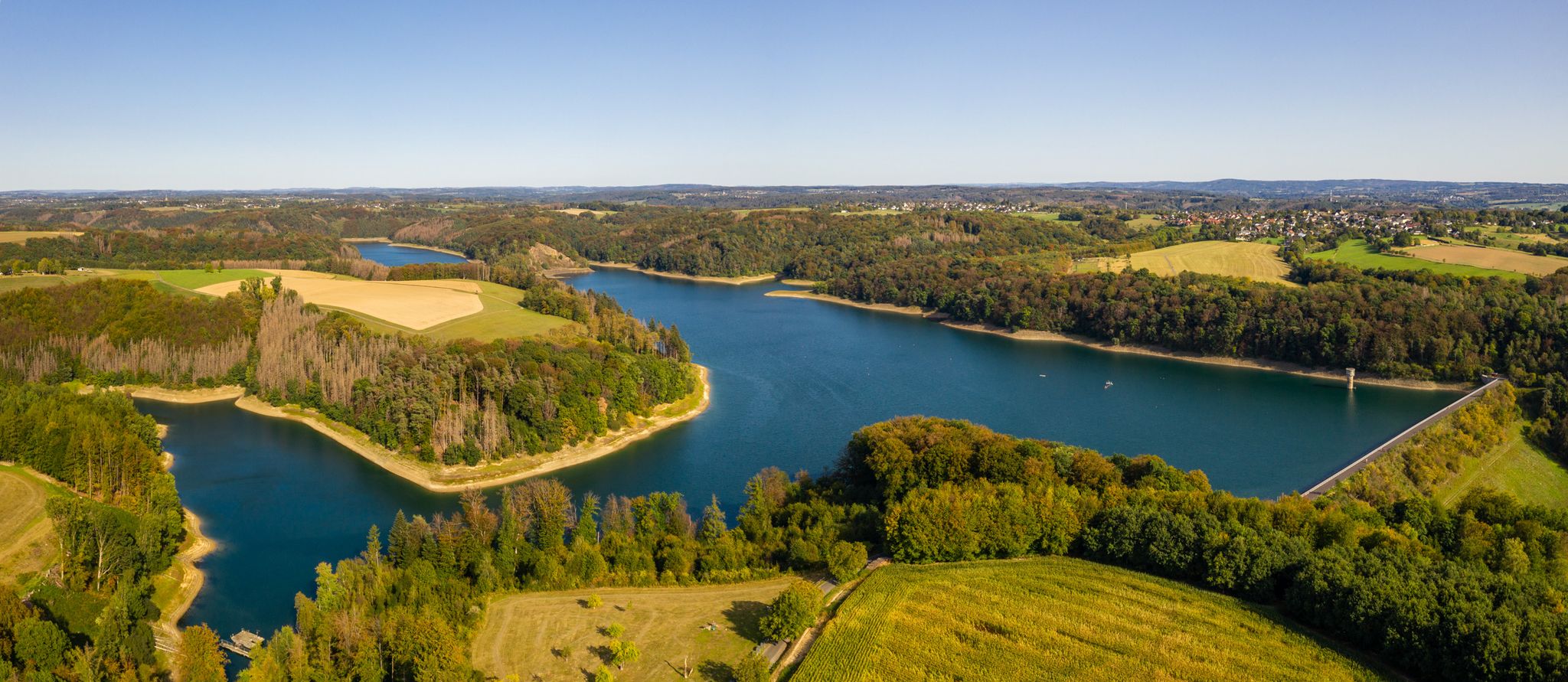
The entire region around the Wahnbachtalsperre offers quiet places with a wonderful view of the reservoir. A great local recreation area!
7
0


더 살펴보기
찾고 있는 하이라이트를 아직 못 찾으셨나요? 다른 지역의 주요 명소 가이드를 확인해보세요:
