경로

플래너

기능

업데이트

App

로그인 또는 가입

앱 다운로드

로그인 또는 가입

로그인 또는 가입

경로
Places to see
Mountain Peaks
독일
헤세
노스 헤세
풀다

거스펠트(론)

거스펠트(론)‬에서 가장 멋진 ‪20‬개의 산 정상


거스펠트(론)의 산 정상에 오르면 이 지역의 아름다운 모습을 제대로 구경할 수 있어요. 다만, 20
곳이나 되는 산 정상 중에서 어떤 곳을 가야 할 지 고민된다는 게 문제죠. 거스펠트(론)에서 가장 멋진 산 정상을 살펴본 후에 마음에 드는 산 정상을 다음 모험 계획에 추가해보세요.

마지막 업데이트: 5월 25, 2026

바서쿠페 항공 기념관

하이라이트 • 기념물

It was built in 1923 in memory of the fallen pilots of the First World War (1914-1918), on the initiative of an association of former front-line aviation associations. According to …

번역자 Google •

에 의해

하이킹 보기

휴대폰으로 전송

저장

Milseburg 정상 및 십자가 군상

하이라이트 • 정상

On the round unmistakable rock mountain… the crucifixion group is visible from afar

번역자 Google •

에 의해

저장

이런 장소를 발견하려면 지금 가입하세요

최고의 싱글 트랙, 봉우리 및 다양한 흥미로운 야외 장소에 대한 추천을 받아보세요.

무료 회원 가입

Great view. You can also see the radar station at the Wasserkuppe.

번역자 Google •

에 의해

저장

페어트스코프 정상

하이라이트 • 정상

The Pferdskopf is the southwestern foothill of the Wasserkuppe in the Rhön. It is located near Poppenhausen in the Hessian district of Fulda and is of volcanic origin. Great views …

번역자 Google •

에 의해

저장

힘멜둥크베르크 정상

하이라이트 • 정상

The mostly unwooded hilltop with a gently sloping slope offers a wide view. Ascents from several directions as well as interesting circular routes are possible.

번역자 Google •

에 의해

저장

무료로 가입하여 거스펠트(론) 주변의 더 많은 봉우리를 발견하세요.

무료 회원 가입

이미 komoot 계정이 있나요?

오늘 무료 계정으로 시작하세요

다음 모험이 기다리고 있어요.

로그인 또는 가입하기

거스펠트(론) 주변 인기 장소

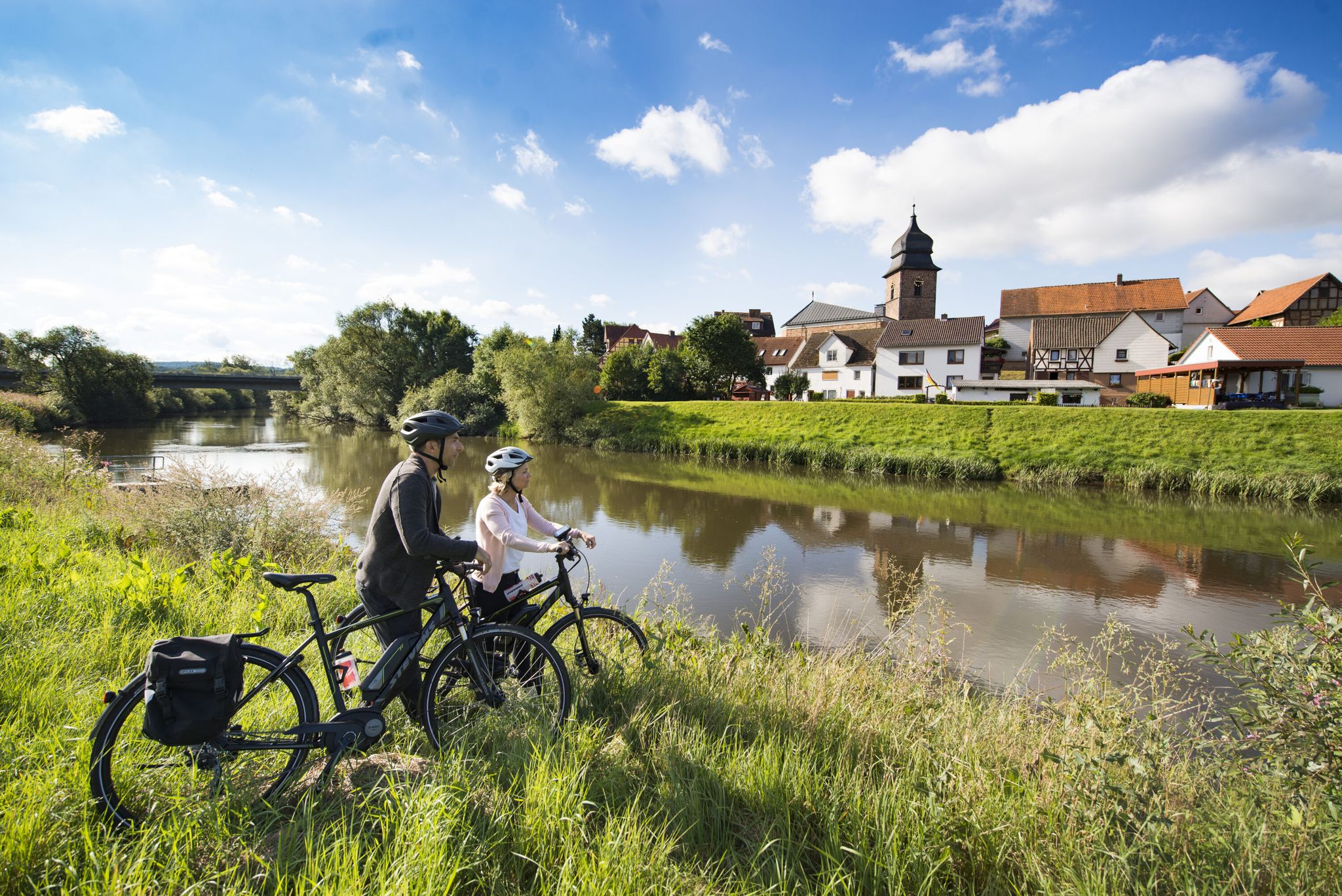
The Fulda cycle path R1 — in 5 stages from the Rhön to the Weser

Stages of the HOCHRHÖNER Premium Hiking Trail
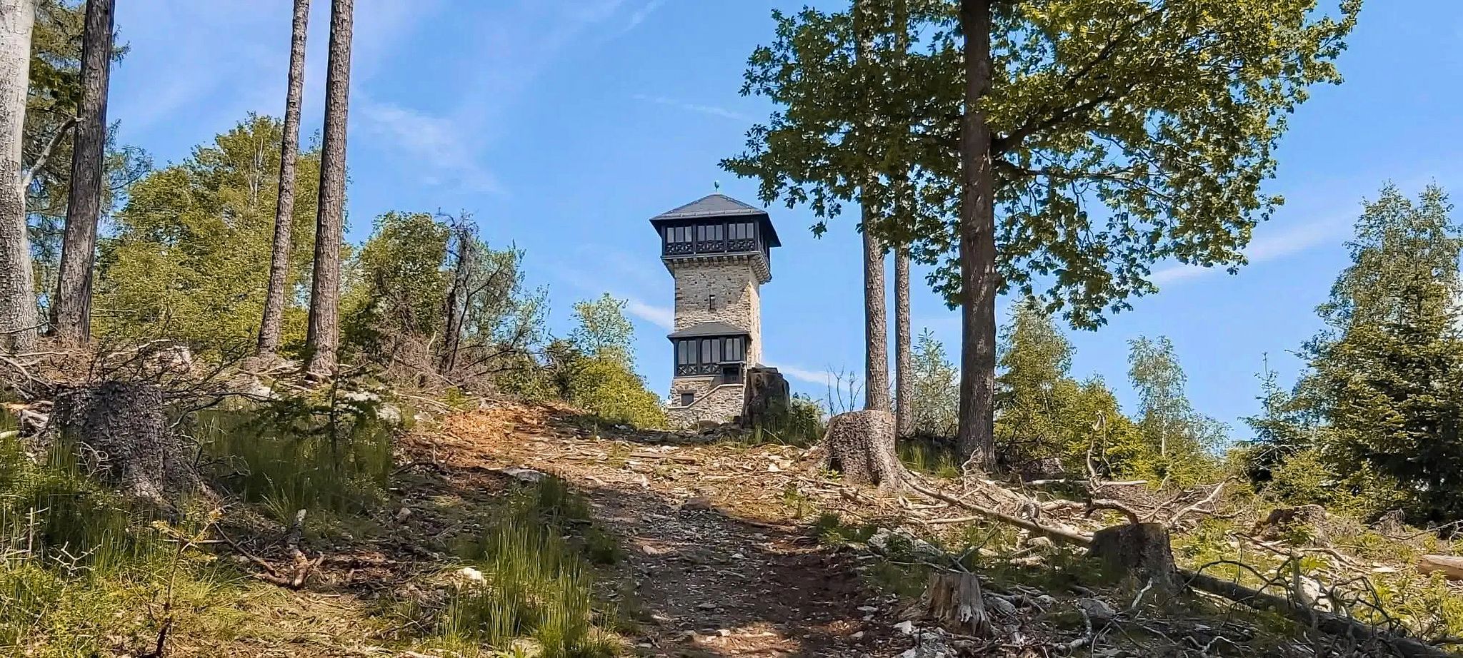
Autumn views: to the most beautiful vantage points in the RMV area

헤센의 국가 자연 경관

남쪽 추가 투어 - Rhön의 탁월한 프리미엄 하이킹 트레일

룬 탐험 - 생태계 보호구역 하루 반 투어

Hike Germany의 Rhön Mountains on the Hochrhöner Trail

가장 낮은 것부터 가장 높은 것까지 (L2H) 독일
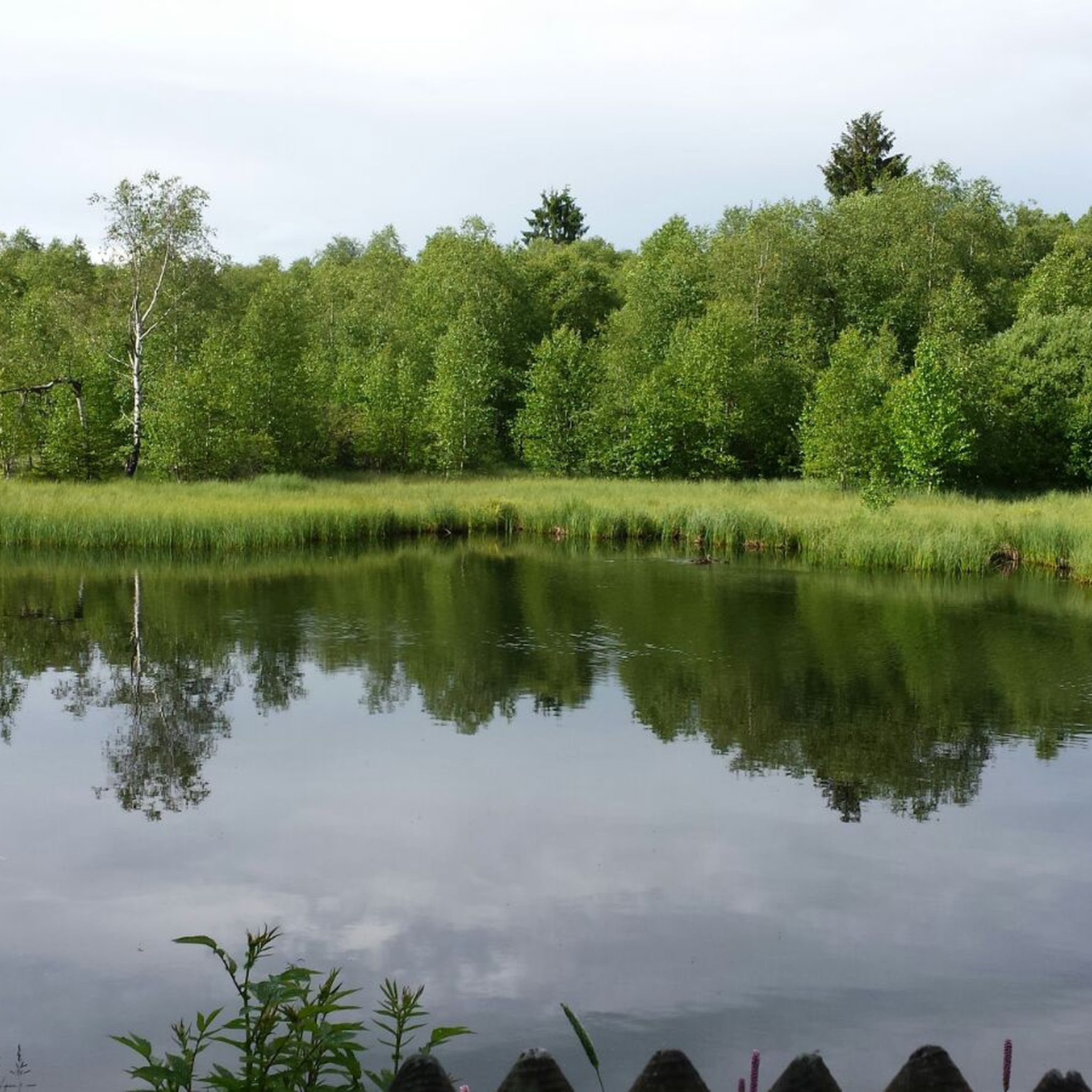
거스펠트(론) 하이킹
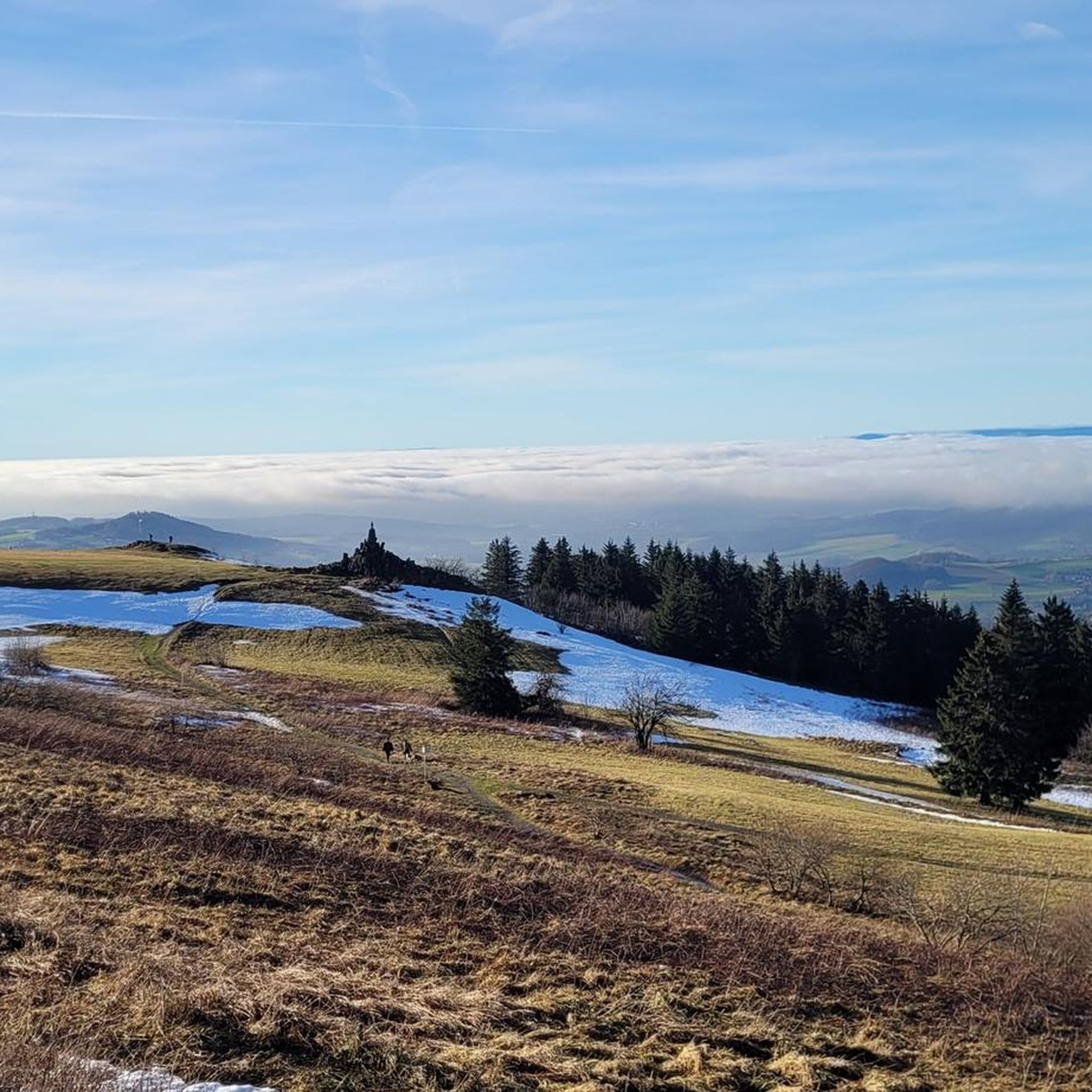
거스펠트(론) 사이클링

거스펠트(론) 주변의 다른 모험

The Fulda cycle path R1 — in 5 stages from the Rhön to the Weser

사이클링 컬렉션 에 의해

Fulda-Radweg R1

커뮤니티 팁

Jens Rhön-Ranger 🤠
10월 27, 2024, Himmeldunkberg Summit

Even the strongest hiker needs a break sometimes 😀

번역: Google

6

0

Recently, you can now also collect a stamp for the summit pass from the Bischofsheim Tourist Information Center at Himmeldunk (6 stamps must be collected within 10 days to receive a certificate).

번역: Google

15

0

An oversized summit cross that is quite impressive. From there I have a wonderful view over the Rhön. There is also a summit book where you can register. A really nice sunny spot to linger. One of the most beautiful hikes in the Rhön that I have ever done. It is worth it! I've been there several times now.

번역: Google

11

2

With a height of almost 888 meters, it not only offers impressive views, but also a home for rare and protected plants and animals. The Himmeldunkberg can be reached via three different hiking trails, with the route from the Schwedenschanze on the B 279 being the easiest. Alternatively, Oberweißenbrunn or Bischofsheim also offer good starting points with parking facilities. The hike through the varied mixed forests of the Himmeldunkberg is an experience in itself. The forests offer pleasant shade, especially on hot days. The Schwarzbach, which babbles over basalt blocks and becomes a small waterfall at the Teufelsmühle, adds a calming element to the hike. Information boards provide information about local legends and stories. Once at the summit, a beautiful panorama awaits hikers. From here you have a wonderful view over Bischofsheim and the picturesque Brendtal, the Gleichberge, the Oberes Sinntal and as far as the Schachen in the distance. Although the Himmeldunkberg is relatively unfrequented, you will find a community of nature lovers here - from hikers and mountain bikers to model airplane pilots. It is important to use the marked paths out of respect for nature and local regulations. The path to the Himmeldunkberg is not overly demanding, apart from the "Hohe Hölle", a steep and strenuous climb. This means that the hike is also suitable for older children. It is advisable to take enough water and provisions with you, as there are no places to stop for refreshments on the mountain itself, apart from the Würzburger Bergbund hut, which is only open on weekends. The hike can also be easily combined with a detour to the Basaltsee or a tour through the Rote Moor.

번역: Google

6

0

Nico
1월 19, 2024, Pferdskopf Summit

It's a shame that you have zero zero visibility up here in winter... so you have to concentrate on the little things

번역: Google

14

0

Beautiful monument on basalt… a great view in fine weather including.

번역: Google

13

0

Newly erected summit cross on the Himmeldunk. At the cross there are rest benches and a list of donors who made the construction possible.

번역: Google

22

0

On the round unmistakable rock mountain… the crucifixion group is visible from afar

번역: Google

19

0

거스펠트(론) 주변에서 가장 인기 있는 경로

거스펠트(론) 하이킹

거스펠트(론) 주변에서 가장 인기 있는 명소

Natural Monuments

Store rating

komoot 모바일 앱으로 영감을 받아보세요

무료 komoot 계정로 끝없는 야외 모험을 손쉽게 찾고, 맞춤 설정하며 길안내할 수 있어요.

또는

지금 komoot에 가입하세요

Store rating

더 살펴보기

이 가이드를 통해 거스펠트(론) 주변의 더 놀라운 정상들을 확인해보세요:

에버스부르크디퍼즈호프비버힐더스쿤젤라스도르프아이터펠트아이헨첼상트페테르부르크뉘스탈훈펠트Oberwald부르고운칼바흐그로센뤼더바트 잘츠슐리프플리덴

근처 어드벤처 가이드

Bayerische Hohe Rhön 즐길거리

background

새로운 정복을 위한 준비를 하세요

무료로 가입하기

탐험하기
경로경로 플래너기능하이킹MTB 트레일로드 사이클링 경로바이크패킹사이트맵
앱 다운로드
소셜 미디어에서 팔로우하기

© komoot GmbH

개인 정보 보호 정책