20의 에멘딩겐가지 명소 & 주요 장소
에멘딩겐에는 둘러볼 만한 장소가 많답니다. 하이킹 또는 사이클링을 좋아한다면 에멘딩겐에 숨겨진 20
가지 보석을 만날 수 있을 거예요. 이 지역의 주요 명소를 살펴보면서 다음 모험을 계획해보세요.
마지막 업데이트: 9월 26, 2026

엔딩겐 마르크트플라츠
하이라이트 • 역사적 장소
번역문 보기
팁에 의해

이런 장소를 발견하려면 지금 가입하세요
최고의 싱글 트랙, 봉우리 및 다양한 흥미로운 야외 장소에 대한 추천을 받아보세요.
칸델 정상 및 전망대
하이라이트 • 정상
번역문 보기
팁에 의해

쾨니히샤프하우저 문
하이라이트 • 기념물
번역자 Google •
팁에 의해

휘너제델 전망대 및 그릴장
하이라이트 • 전망대
번역자 Google •
팁에 의해

멋진 전망의 토마스휘테
하이라이트 • 전망대
번역문 보기
팁에 의해

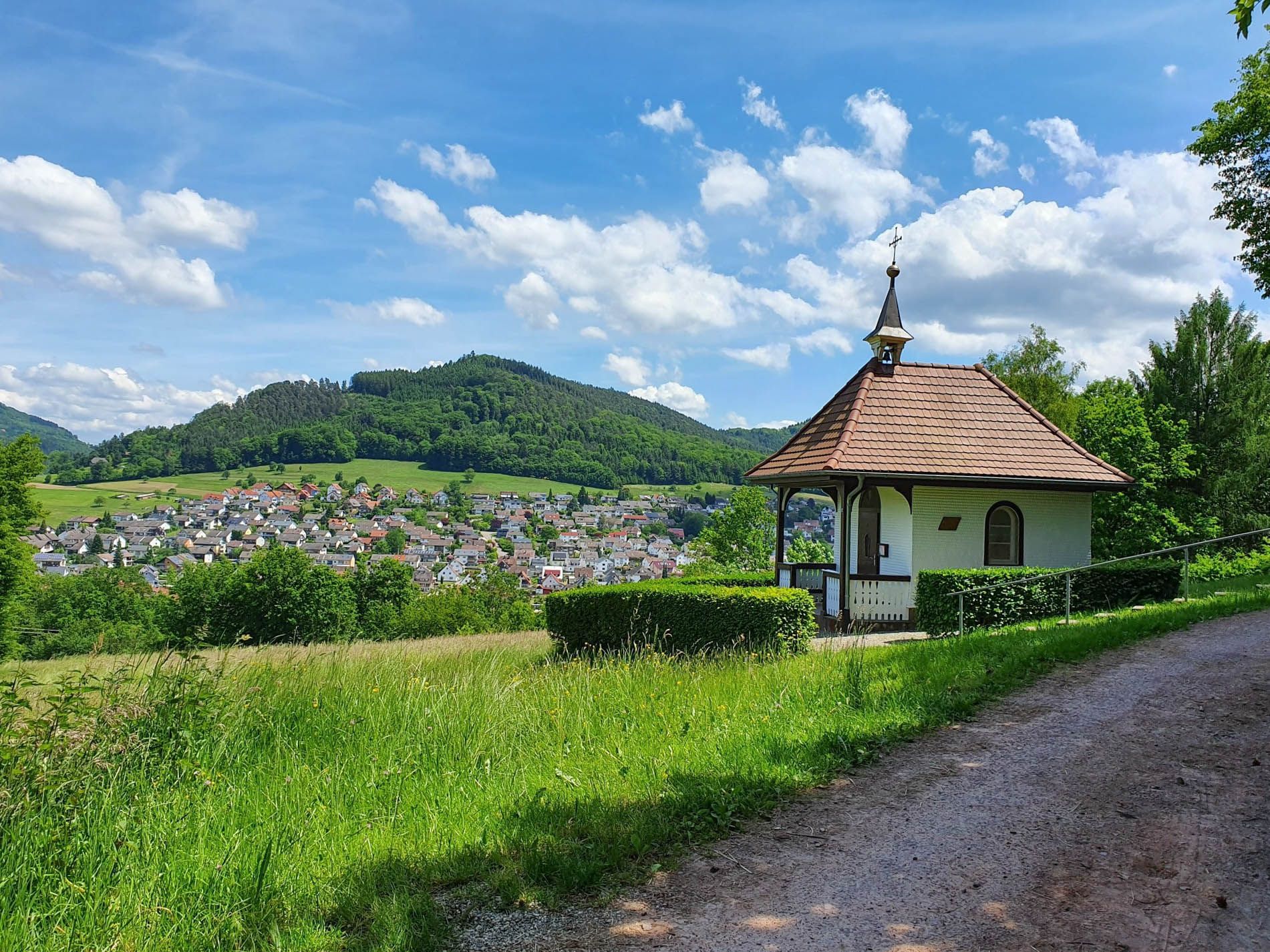
카타리넨베르크의 카타리넨 예배당
하이라이트 • 종교적 장소
번역자 Google •
팁에 의해

Brunnenhof 휴게소 및 음료대
하이라이트 • 휴식 공간
번역자 Google •
팁에 의해


무료로 가입하여 에멘딩겐 주변의 더 많은 명소를 발견하세요.
이미 komoot 계정이 있나요?
오늘 무료 계정으로 시작하세요
다음 모험이 기다리고 있어요.
에멘딩겐 주변 인기 장소
일도 제목 바리 - Rheinauenweg 회원일 스타일
숲과 풀밭 사이를 걷기 - 로트바일-라르 블랙포레스트 트레일
검과이 미음니다 - 일수아습니다 한국 부버 한국 아습니다
5 단계 하이킹 ZweiTälerSteig – 독일의 Black Forest 발견
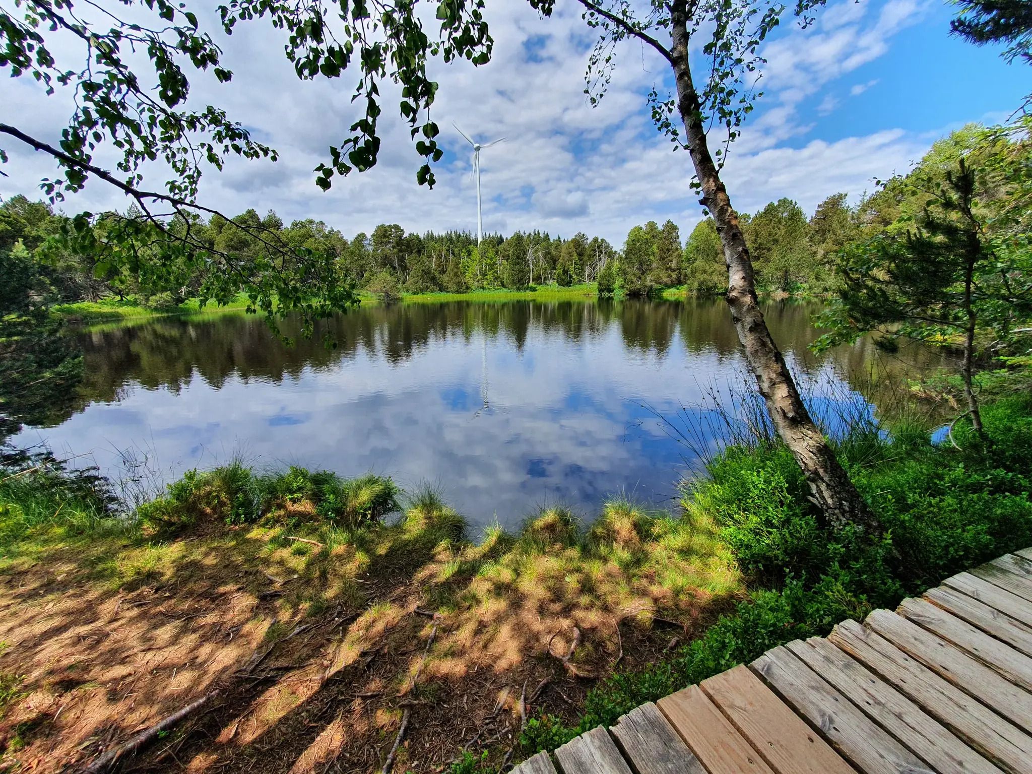
블랙 포레스트의 폭포, 호수 및 강 - 바서벨텐슈타이그 하이킹
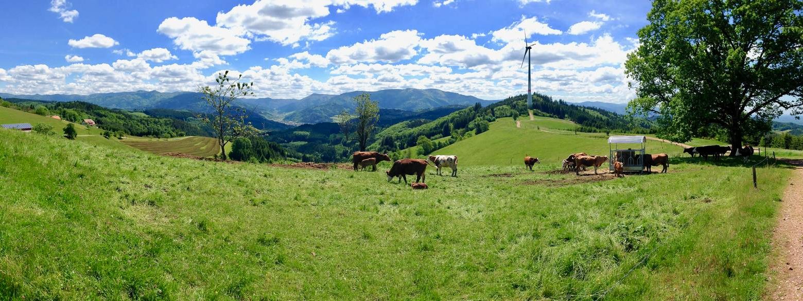
서쪽보다 더 서쪽 – кан델호헨웨그의 5 에탱
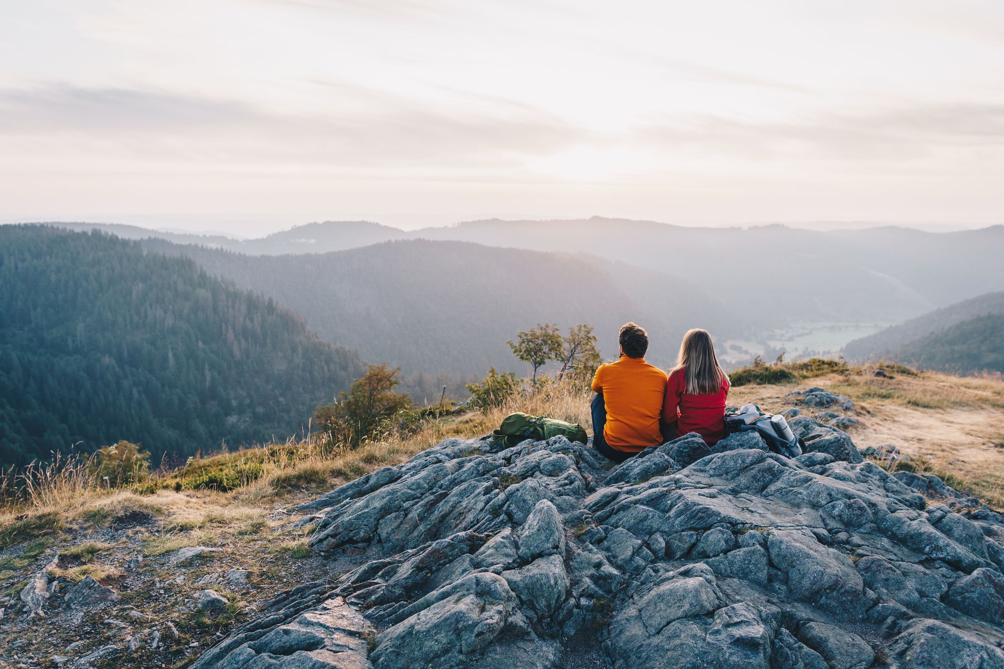
ZweiTälerSteig and other cool hikes in Germany
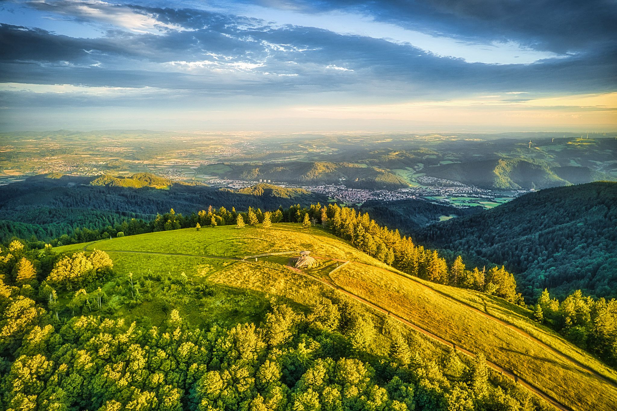
Two valleys, endless views – hiking in the ZweiTälerLand
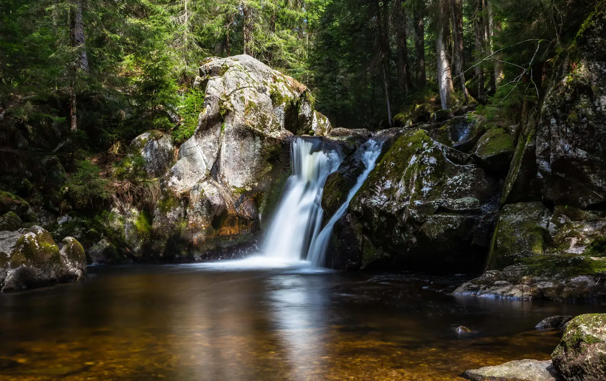
Hiking, ponds & waterfalls – superb Black Forest swimming spots
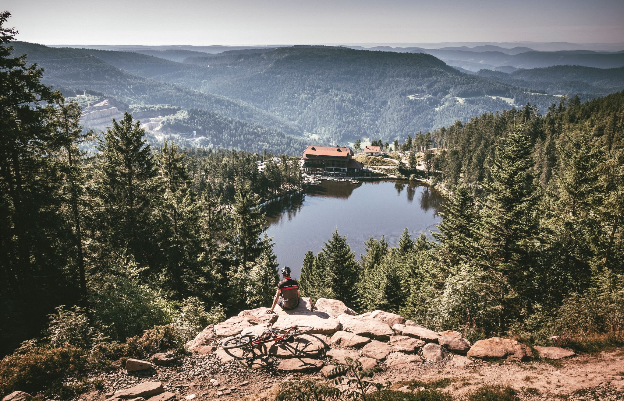
Your Gravel Summer – refreshing rides in the Black Forest
에멘딩겐 주변의 다른 모험


커뮤니티 팁

The Hünersedel is a mountain in the central Black Forest with a height of 744.3 m above sea level. Its name means "giant's seat". In a document from the year 926, the mountain is called "Stoufinberc". It lies in the border area of the two municipalities of Schuttertal and Freiamt. The summit of the mountain is at the northern end of the municipality of Freiamt. The river Schutter rises at the Hünersedel. The Hünersedel was the highest mountain in the old district of Lahr. From the tower you have a gigantic view.
4
0

대부분의 난이도에 해당하는 수많은 루트가 있는 인기 있는 등반 지역입니다. 암질은 매우 좋습니다. 루트는 대부분 잘 확보되어 있습니다. 출발점으로 돌아가는 것은 2 x 20m 또는 1 x 30m 하강으로 이루어집니다. "맞은편 통행" 시에는 배려하여 하강해 주십시오. 큰 칸델펠젠(Kandelfelsen)은 칸델 정상(Kandelgipfel)을 통해 갈 수 있습니다. 그곳에는 충분한 주차 공간이 있습니다. 또한, 장크트페터(St. Peter)에서 칸델까지 버스가 운행됩니다. 정상에서부터 약 20분 정도 걸으며, 좋은 신발을 착용해 주십시오. 다멘베그(Damenweg, 파란색 마름모)를 통해 등반 지역으로 이동합니다.
7
0

a very nice lookout tower. Very suitable for taking a break, with a barbecue area.
5
0

Beautiful little wine town on the Kaiserstuhl... ideal starting point for discovery tours
7
1

Since March 2022, the kiosk has been run by a new team. Opening times are from March to July and September to the end of November on Saturdays, Sundays and public holidays from 11:00 a.m. to 5:00 p.m. Large selection of drinks, coffee, tea and small but very tasty snacks.
9
0

Endingen was first mentioned in a document in 862. For several centuries, it belonged to the Lords of Endingen, who had their seat at the nearby Koliburg Castle, until it passed to the Lords of Üsenberg, who granted Endingen town rights between 1285 and 1286. After the Üsenbergs died out in 1379, the Küchlins were enfeoffed with it in 1425. The town came into Habsburg possession and was assigned to Vorderösterreich, briefly enjoying the status of a free imperial city at the beginning of the 15th century. In 1751, one of the last witch trials in Europe took place in Endingen: on April 24, Anna Schnidenwind was burned at the stake. After the Peace of Pressburg in 1805, Endingen, along with the entire Breisgau region, which had previously been Vorderösterreich, became part of Baden. The citizens of Endingen are very tradition-conscious. Old customs have survived to this day. For centuries, on Christmas Eve, during the midnight chimes of the church bells in Endingen, running water has been drawn from the numerous fountains and drunk as "Heiliwog." The saying goes: "Heiliwog – God's gift, good luck in the house, bad luck out!" Source: Wikipedia
6
0
The Königschaffhauser Tor is the only remaining city gate of Endingen am Kaiserstuhl and was first mentioned in 1319. The current appearance of the city gate, popularly known as "Torli", goes back to the expansion of 1581. For a long time, the tower housed a city jail, today the other rooms are used by the Endingen fools' guild as a guild room. A small fools' guild museum was set up in some of the former detention cells, in which old Endinger carnival clothes, carnival utensils, pictures and programs as well as the Endinger carnival figures can be seen. Source: https://www.alemannische-seiten.de/deutschland/endingen_koenigschaffhauser-tor.php
2
0

The Black Forest is known for its abundance of waterfalls. The reason for this lies in the large differences in altitude over a short distance, which applies in particular to the topographical situation in the Simonswald valley. In the 300-700 meter sloping western side of the valley, the strong Ice Age glaciations have created cirque walls. The neighboring streams Hirschbach and Zweribach, coming from gently undulating hanging valleys, plunge down into the largest of these cirques, more than 300 meters deep, with several waterfalls, of which only the Zweribach waterfalls are known nationwide. The cirque is protected as a protective forest and as a Zweribach nature reserve.
9
0


찾고 계신 것을 찾지 못하셨나요?
근처의 멋진 장소를 더 탐험하고 싶으신가요? 우리의 가이드를 살펴보세요:
더 살펴보기
찾고 있는 하이라이트를 아직 못 찾으셨나요? 다른 지역의 주요 명소 가이드를 확인해보세요:
