배드 허스펠드에서 가장 멋진 7개의 산 정상
배드 허스펠드의 산 정상에 오르면 이 지역의 아름다운 모습을 제대로 구경할 수 있어요. 다만, 7
곳이나 되는 산 정상 중에서 어떤 곳을 가야 할 지 고민된다는 게 문제죠. 배드 허스펠드에서 가장 멋진 산 정상을 살펴본 후에 마음에 드는 산 정상을 다음 모험 계획에 추가해보세요.
마지막 업데이트: 10월 11, 2026
소이스베르크 전망대
하이라이트 • 전망대
번역자 Google •
팁에 의해

멩쉬하우저 쿱페의 호이스너 탑
하이라이트 • 전망대
번역자 Google •
팁에 의해

이런 장소를 발견하려면 지금 가입하세요
최고의 싱글 트랙, 봉우리 및 다양한 흥미로운 야외 장소에 대한 추천을 받아보세요.
아이젠베르크의 보르그만 탑
하이라이트 • 전망대
번역자 Google •
팁에 의해

스텔러스쿠페 정상과 역사적 유적
하이라이트 • 정상
번역자 Google •
팁에 의해

아이젠베르크-슈타이크
하이라이트 (구간) • 트레일
번역자 Google •
팁에 의해

무료로 가입하여 배드 허스펠드 주변의 더 많은 봉우리를 발견하세요.
이미 komoot 계정이 있나요?
오늘 무료 계정으로 시작하세요
다음 모험이 기다리고 있어요.
배드 허스펠드 주변 인기 장소
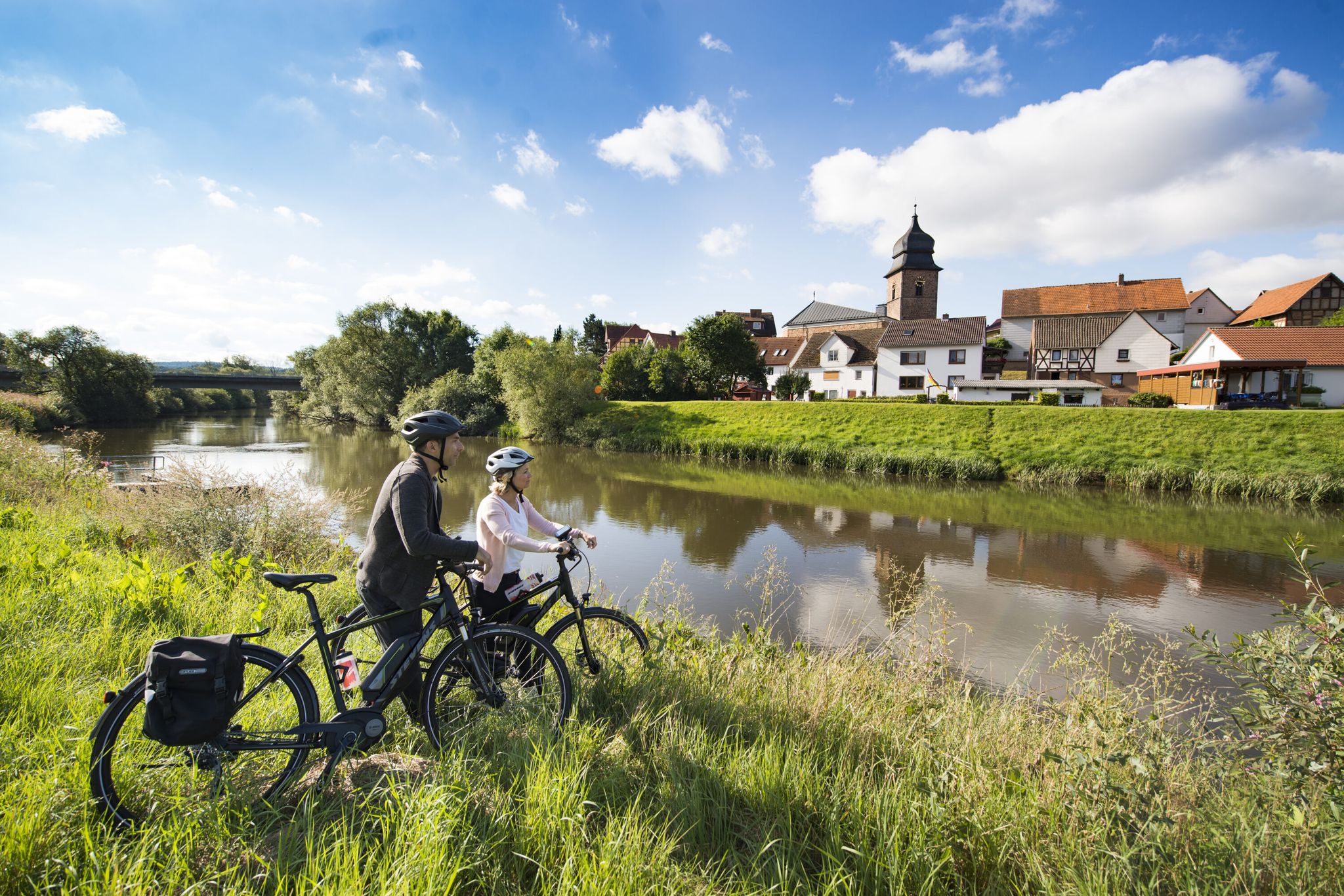
The Fulda cycle path R1 — in 5 stages from the Rhön to the Weser
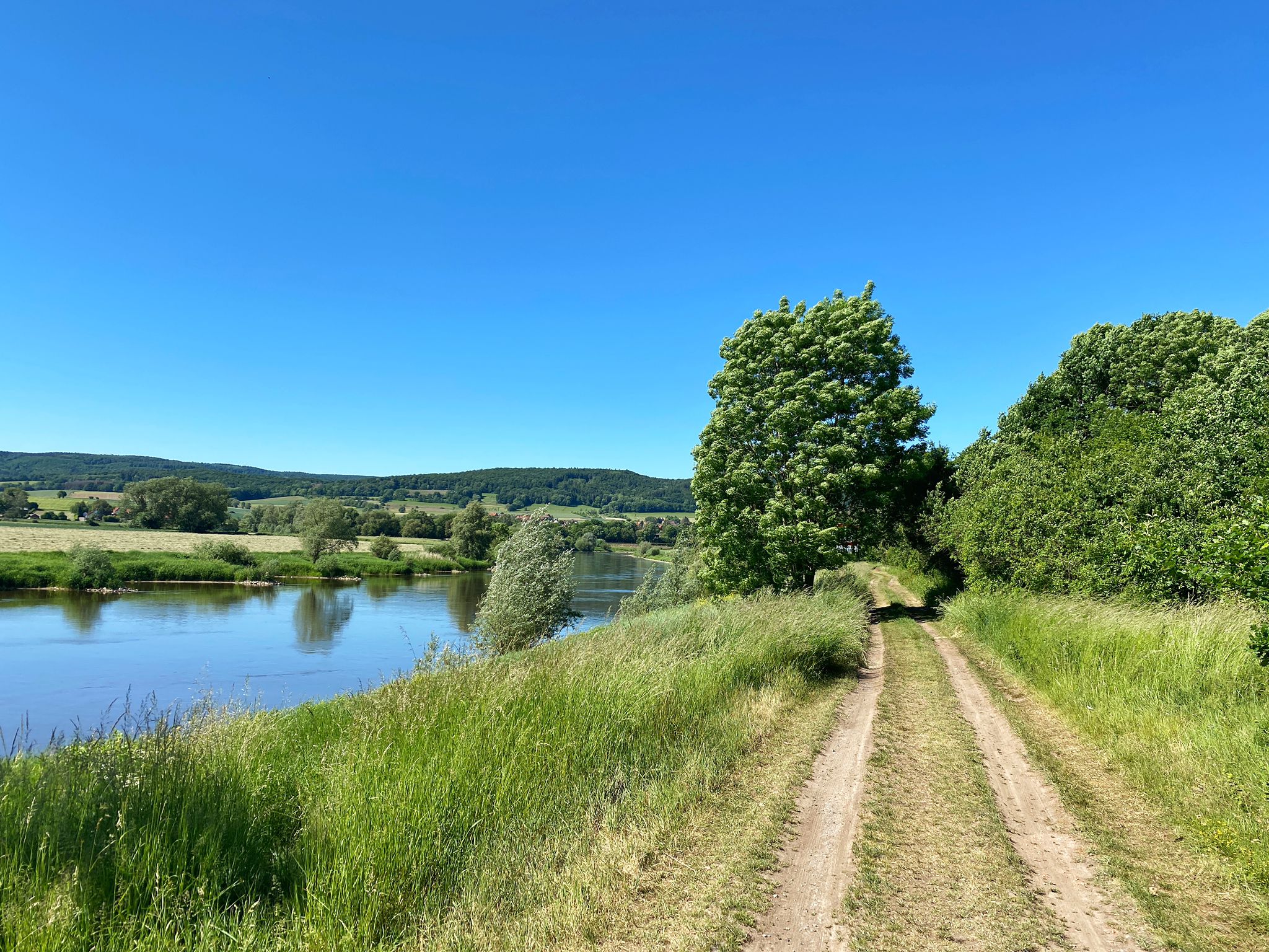
D:Route 9: Weser - Romantic Route
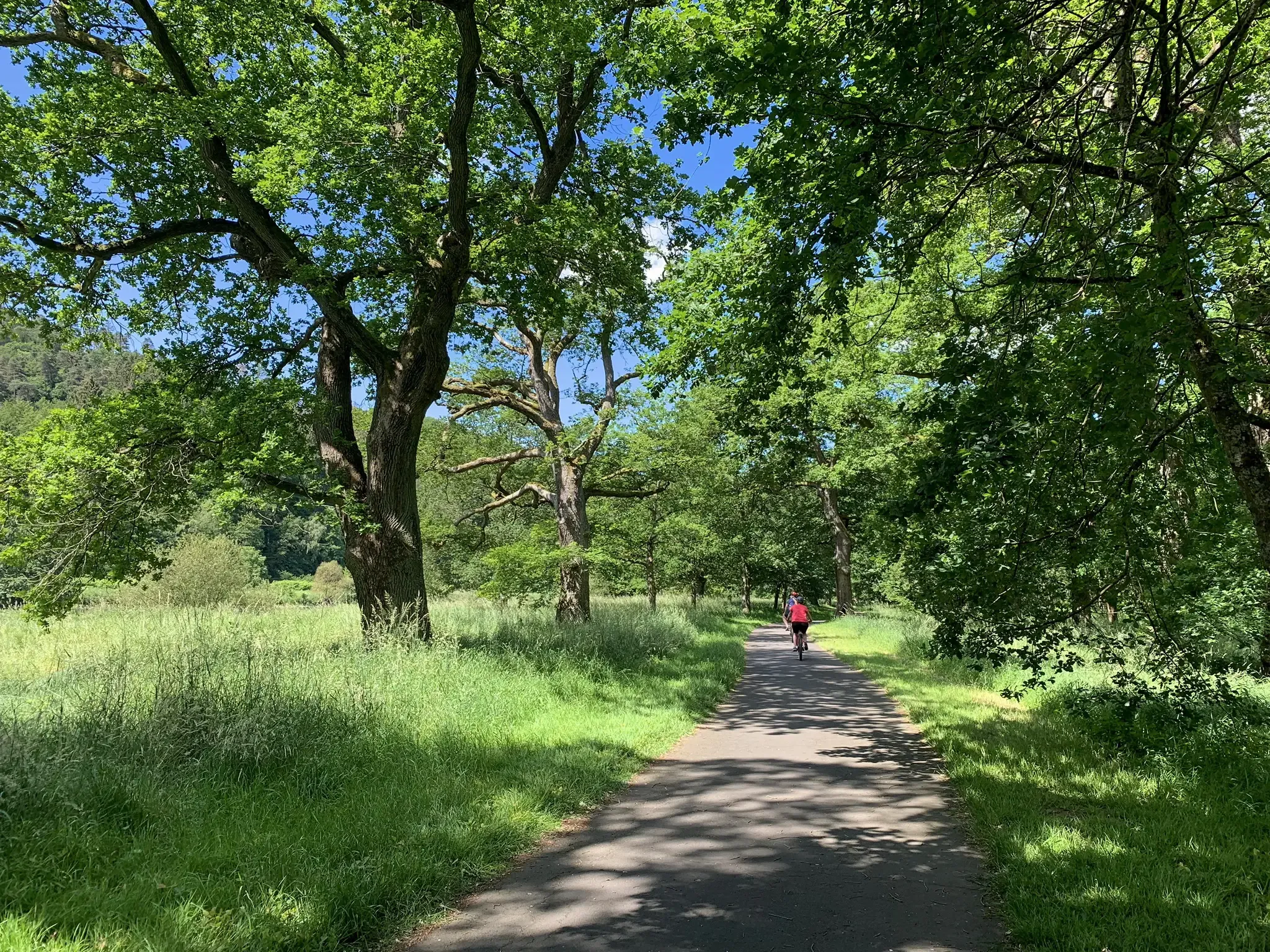
D-Route 4: Mittelland Route
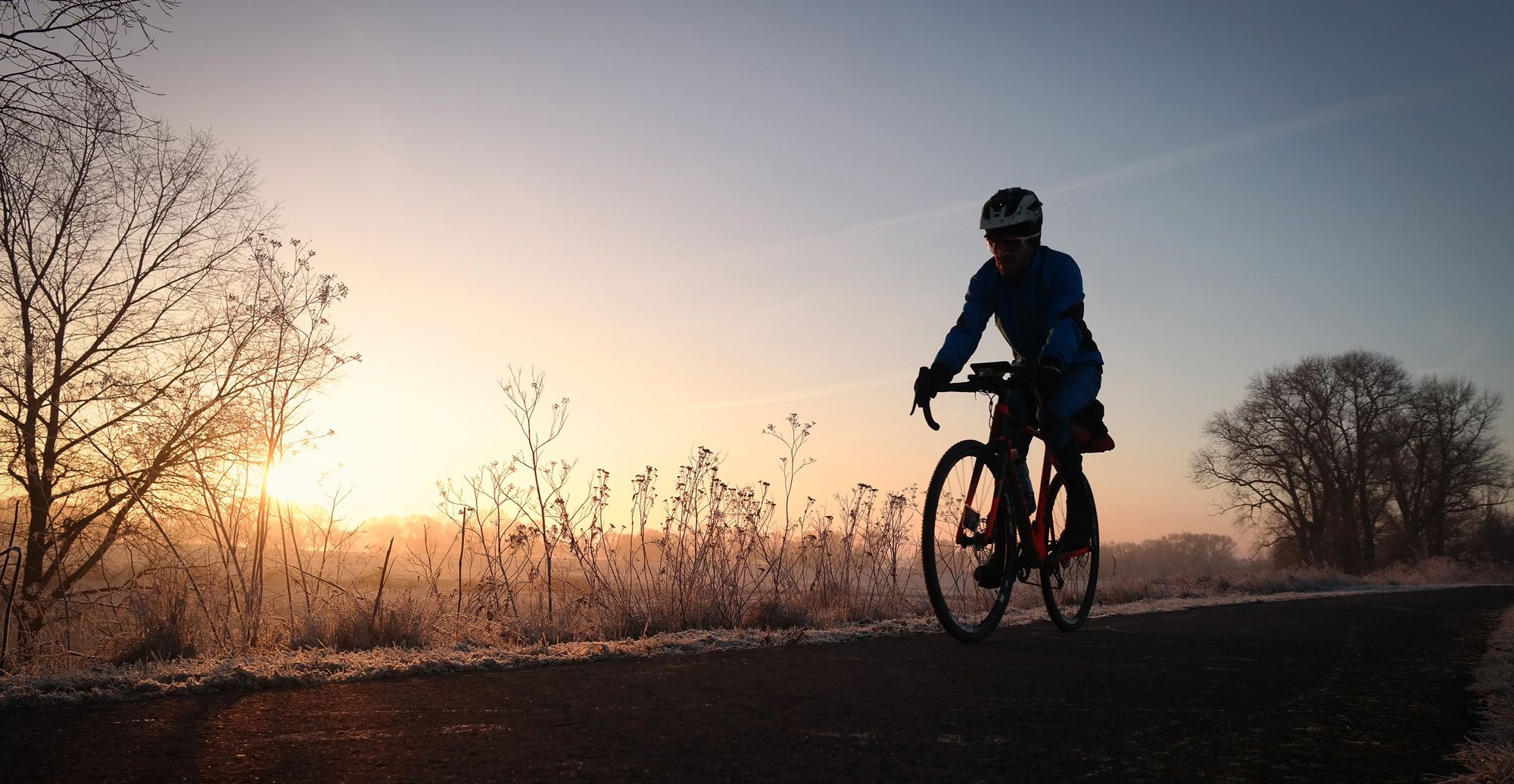
겨울 강 라이드 - Ruhr에서 Elbe까지

독일 통일 자전거 경로
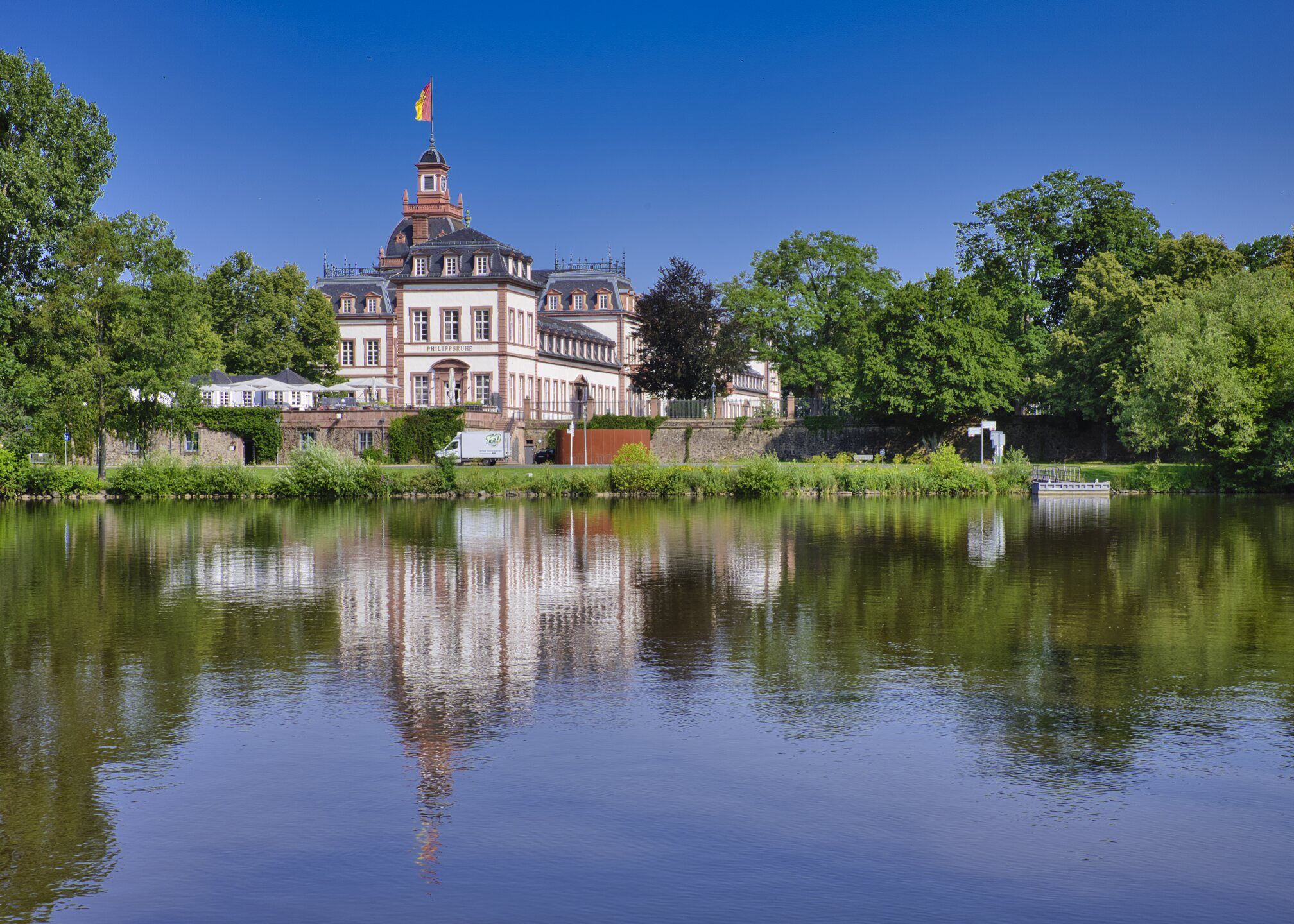
Rad-Kurzurlaube im RMV – Einfach mal raus!
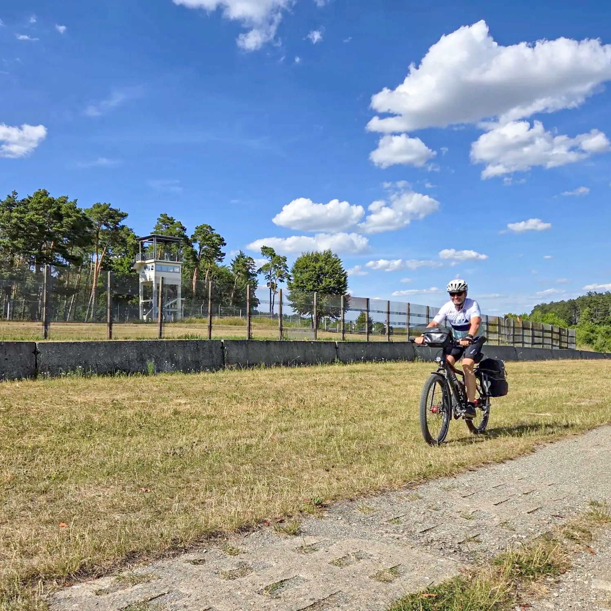
Radtouren zum Tag der Deutschen Einheit – Unterwegs im Fulda-Gap
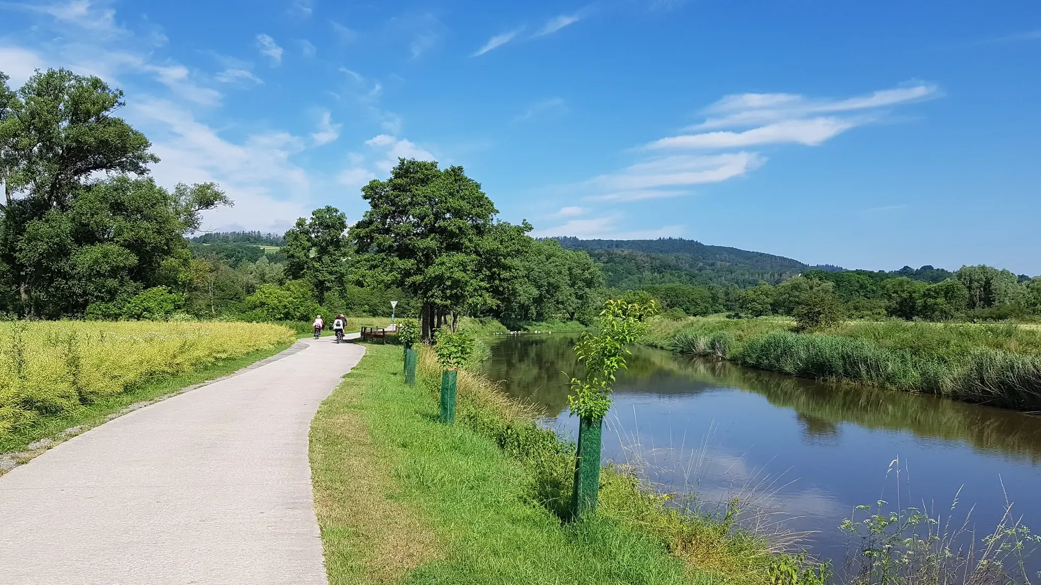
Mit Rosbacher auf Tour in Nordhessen
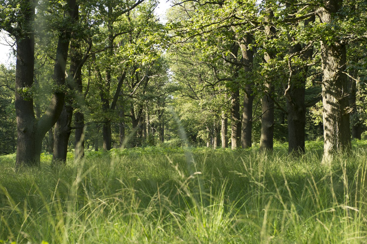
Entschleunigen in der GrimmHeimat NordHessen
배드 허스펠드 사이클링
배드 허스펠드 주변의 다른 모험


커뮤니티 팁

At 480.5 m above sea level, the Stellerskuppe is the highest elevation in the Bad Hersfeld area. From 1935 to 1948 there was a wooden observation tower here. Some of the foundation remains can still be discovered and an information board shows historical photos.
1
1

The 26 m high Borgmann Tower is a massive brick tower and is unfortunately not accessible via a turnstile at the moment. From the viewing platform the view extends over the Knüll Nature Park and northern Hesse's landscapes: Habichtswald, Reinhardswald, Kaufunger Wald, Hoher Meißner and Kellerwald, sometimes even further to the Thuringian Forest, Vogelsberg, Taunus, Westerwald, Rothaargebirge and the Rhön.
5
1
Long-distance hike with beautiful viewpoints and rest areas from the highest mountain in the Knüll Mountains to the festival town of Bad Hersfeld.
4
1
Over 100 years ago, in 1913, the "observation tower" was built with a wonderful 360° panoramic view, a magnificent view from 26m above the pass of the 636m high Eisenberg. The picturesque foreground, in the middle of a sea of forests, is bordered by countless valleys and mountain ranges in the middle ground. Towards the horizon, however, the view is limited by mountains of various shapes, such as the Thuringian Forest, Rhön, Vogelsberg, Taunus, Westerwald, Sauerland, Kellerwald, Reinhardswald, Habichtswald and Kaufunger Wald as well as Meißner, to name just the most important. Unfortunately, the tower has been closed for some time.
5
1

Unfortunately no more daily business! It's a shame because I would have liked to have had a drink and eaten up there! 🤷♂️
5
0

Important rules for using the tower. The technical data are also very interesting.
12
0
The effort for the ascent, especially to the viewing platform, is worth it. Up here you have a perfect panoramic view. 🗼🔭
15
0
The predecessors were all wooden towers and not very high due to the low forest cover at the time. The first tower (1895) was 8 meters high. The second (1955) was a bit higher at 13.50 meters. The tower, built in 2004, is 25m high.
15
1
배드 허스펠드 주변에서 가장 인기 있는 명소


더 살펴보기
이 가이드를 통해 배드 허스펠드 주변의 더 놀라운 정상들을 확인해보세요:
