바트 나우하임에서 가장 멋진 20개의 호수
바트 나우하임에서 가장 멋진 호수를 방문하고 싶나요? 호숫가의 고요한 분위기를 느끼거나 날씨가 따뜻한 날 호수에 발을 살짝 담글 수 있다면 얼마나 좋을까요? Komoot 커뮤니티가 추천한 바트 나우하임의 주요 호수를 아래에서 살펴보고, 다음 모험 때 직접 찾아가보세요!
마지막 업데이트: 9월 7, 2026
바트나우하임 대연못
하이라이트 • 호수
번역자 Google •
팁에 의해

뵐퍼스하이머 호수
하이라이트 • 호수
It lies at the center of the two cycling routes (north and south) of the Wetterau Lake District. Further information:
wetterauer-seenplatte.de/pages/radfahren.php
번역자 Google •
팁에 의해

이런 장소를 발견하려면 지금 가입하세요
최고의 싱글 트랙, 봉우리 및 다양한 흥미로운 야외 장소에 대한 추천을 받아보세요.
뵐퍼스하이머 호수 레저 공원
하이라이트 • 휴식 공간
번역자 Google •
팁에 의해

상부 크나펜제 호수
하이라이트 • 호수
번역자 Google •
팁에 의해

로스바흐 인근 규암 채석장
하이라이트 • 자연 기념물
번역자 Google •
팁에 의해

무료로 가입하여 바트 나우하임 주변의 더 많은 호수를 발견하세요.
이미 komoot 계정이 있나요?
오늘 무료 계정으로 시작하세요
다음 모험이 기다리고 있어요.
바트 나우하임 주변 인기 장소

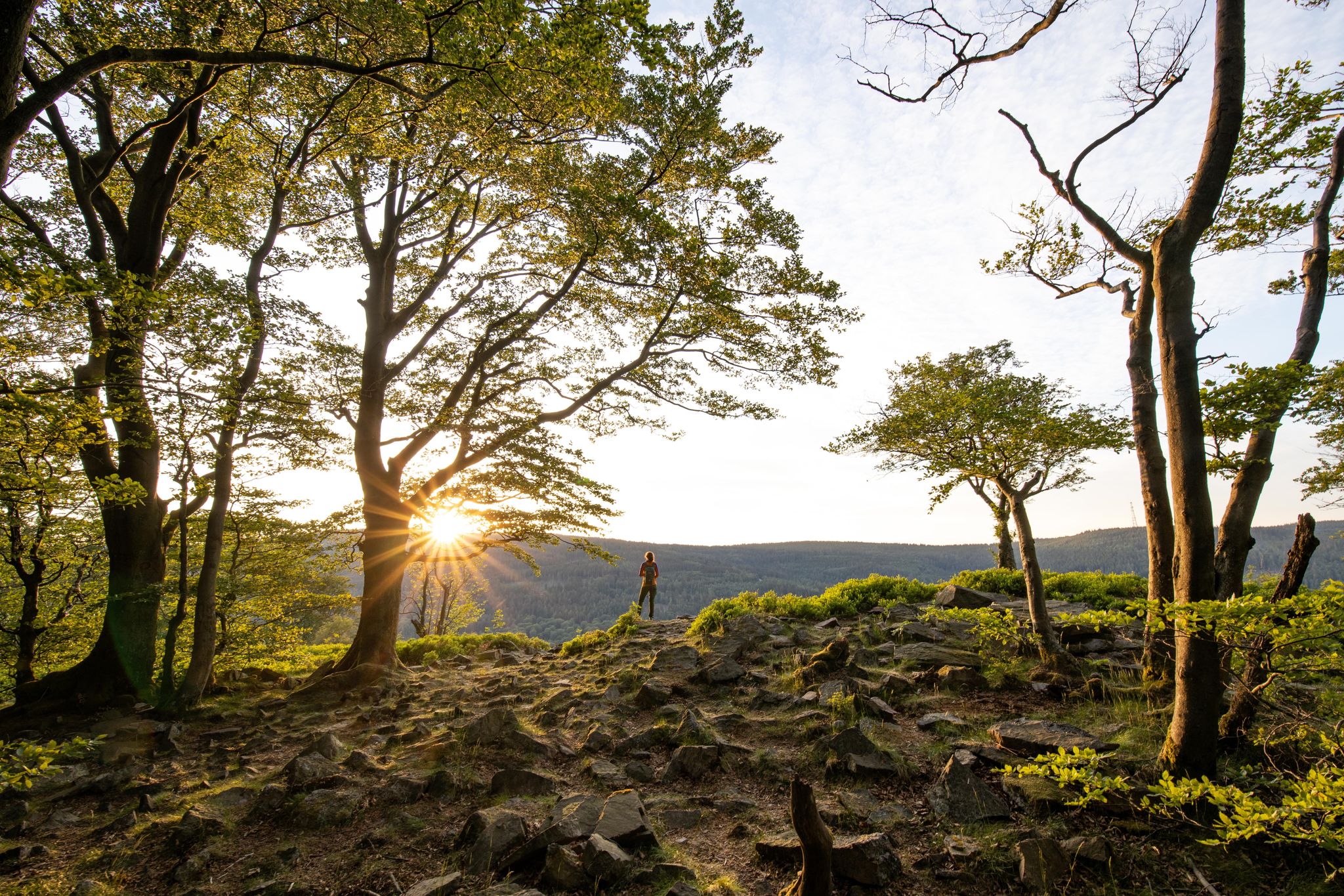
Delightfully scenic hiking in the Taunus range
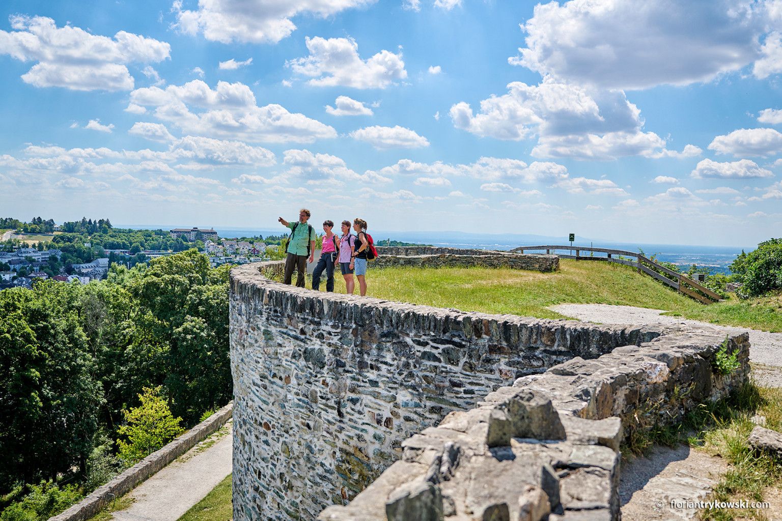
Experience nature and culture — hiking in Germany’s Taunus region
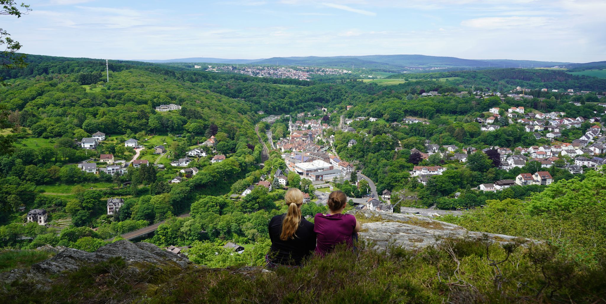
Exploring nature — hikes in Germany’s Taunus Mountains
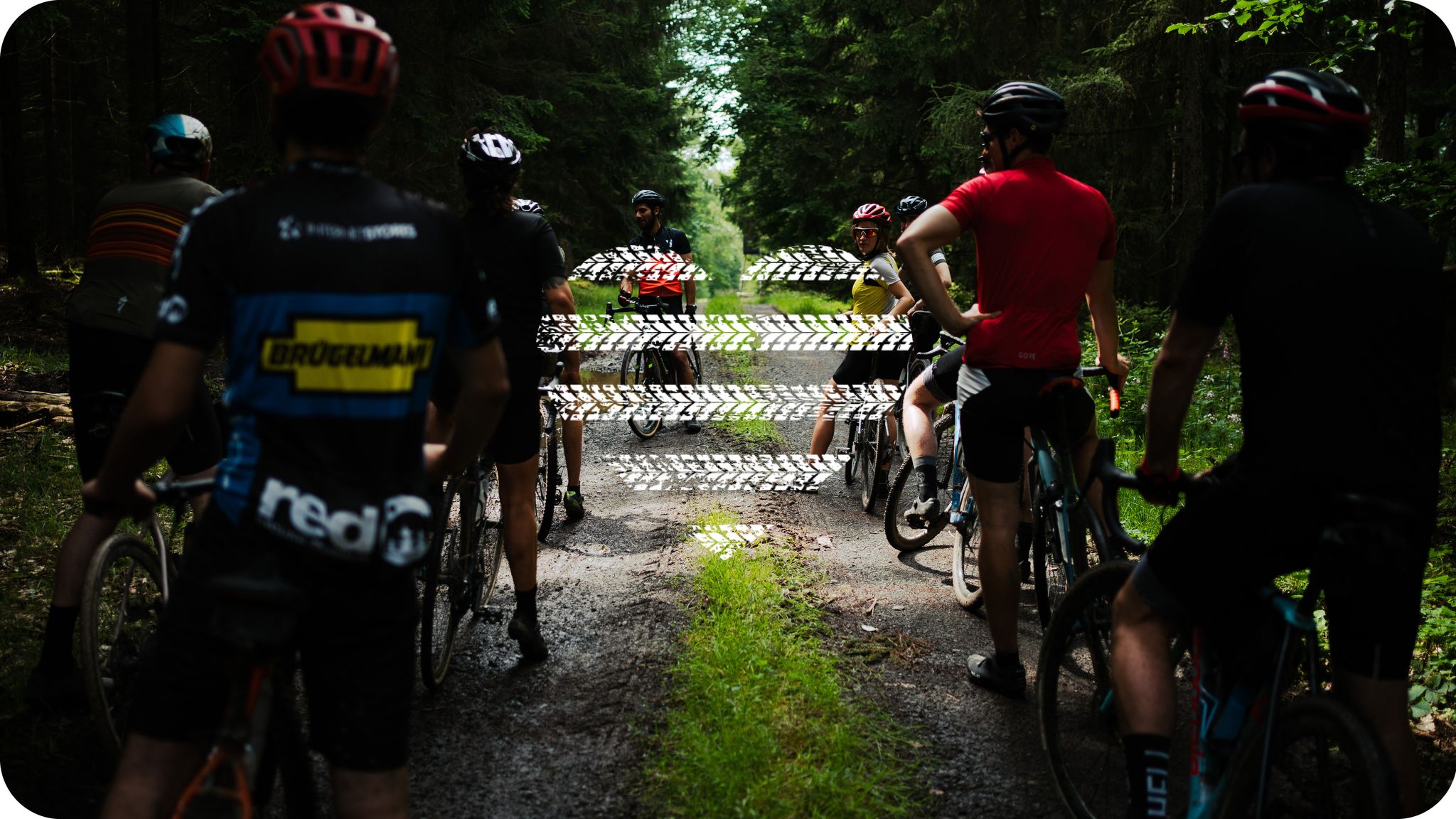
Wheels like Hesse – Seven ways to Hessen
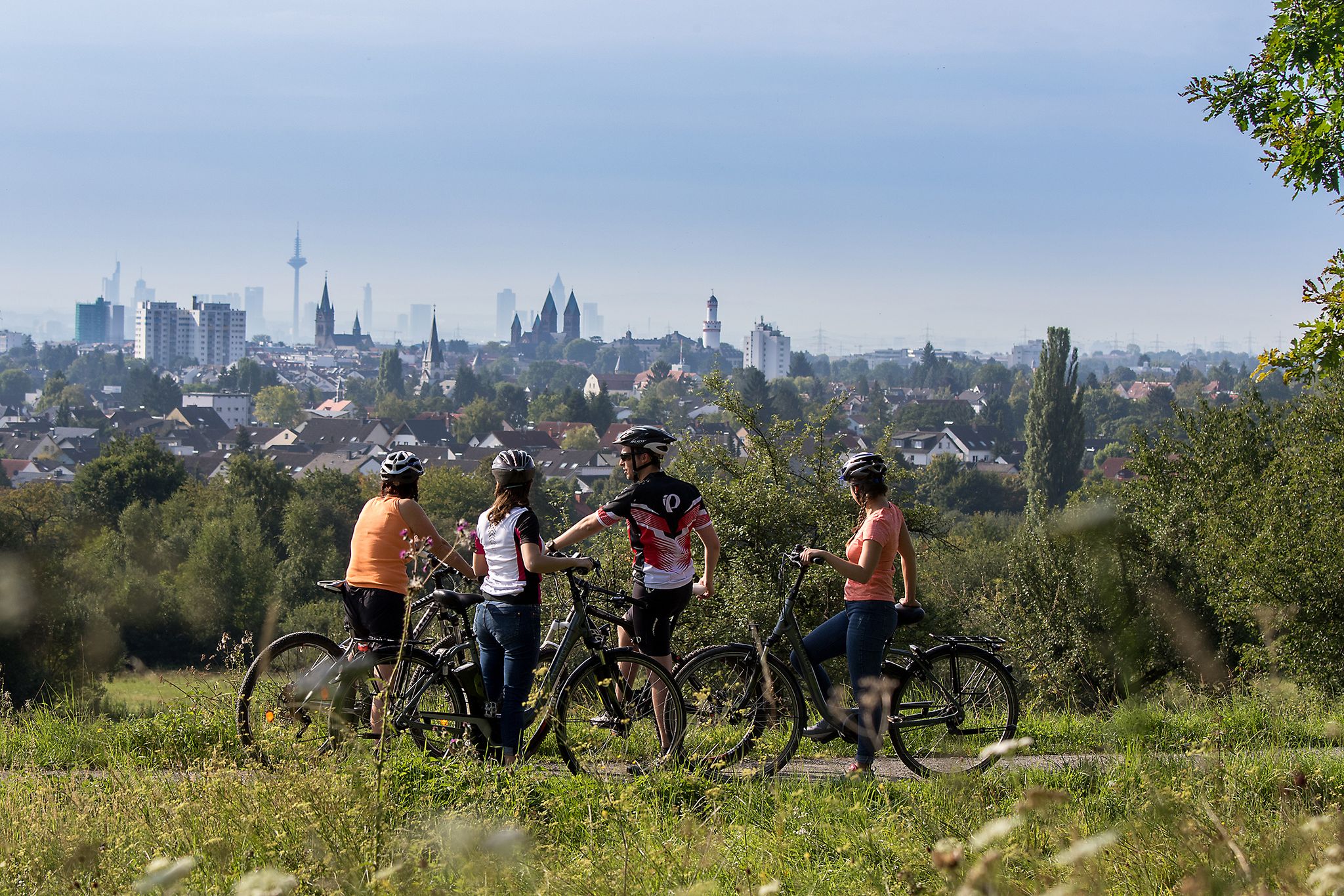
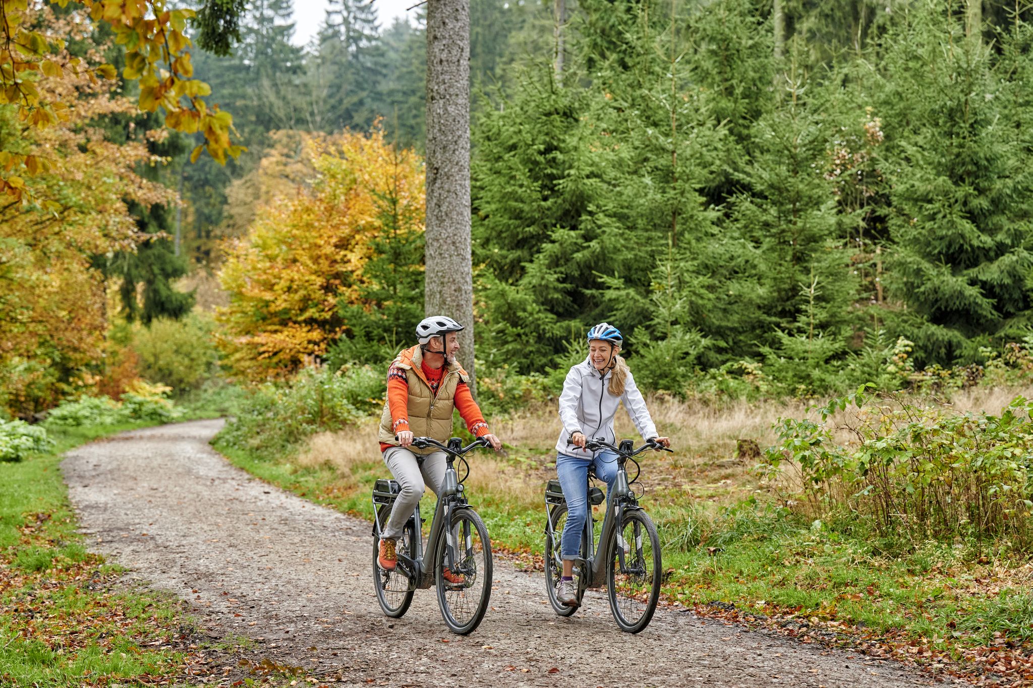
From safari to world heritage — cycling tours in the Taunus region
Deep valleys and airy heights – the most beautiful hikes in the Taunus in Germany
Radfahren im Taunus – Auspowern, genießen, entdecken
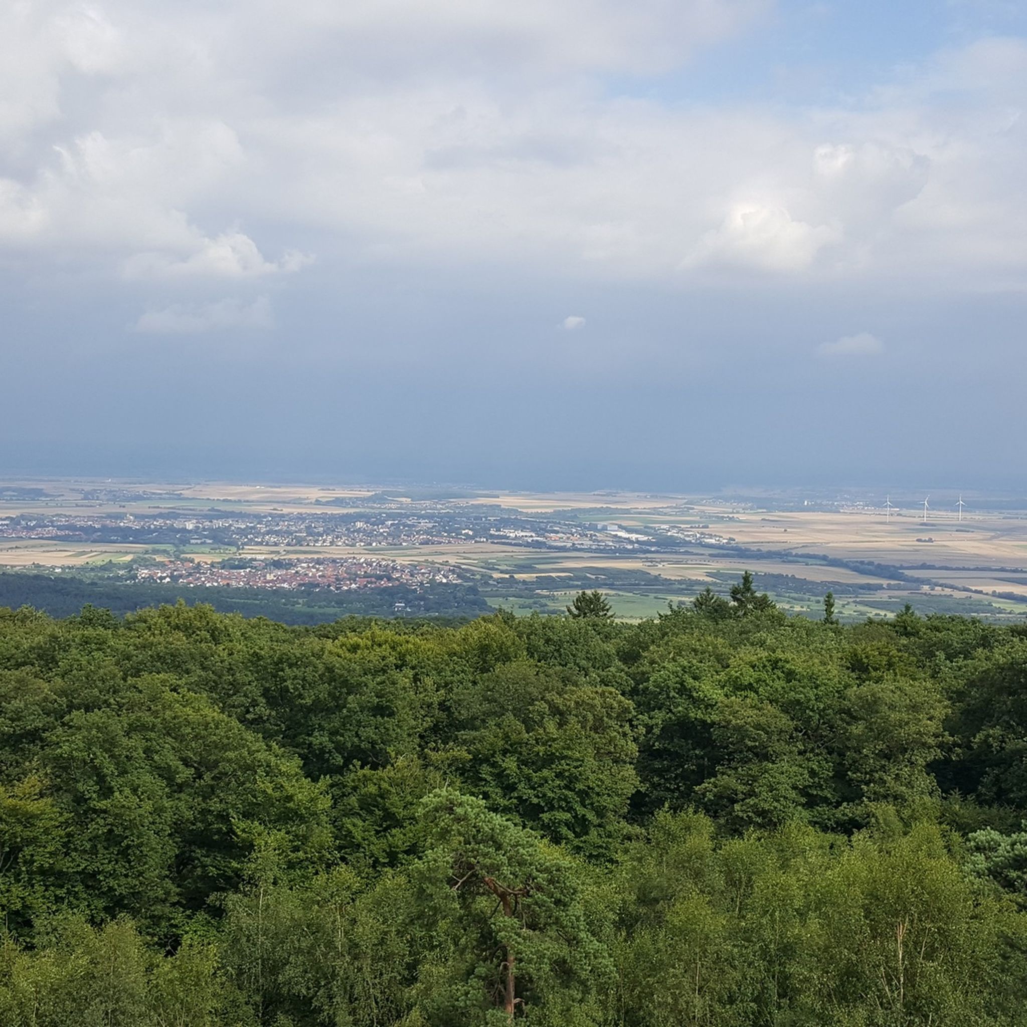
바트 나우하임 하이킹
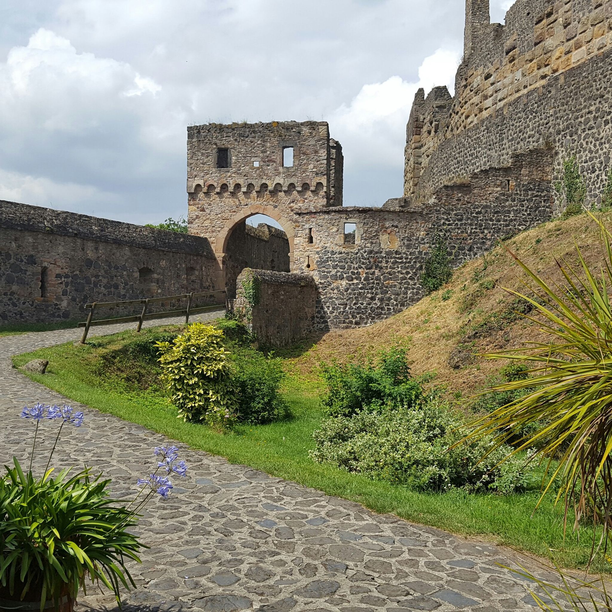
바트 나우하임 사이클링
바트 나우하임 로드 사이클링 경로
바트 나우하임 주변의 다른 모험


커뮤니티 팁

the winter guests are already here around the lower Knappsse and the upper Knappsee there are many Egyptian geese, Canada geese and the intermediate guests who are only "our" guests for a short rest. The cranes that have accompanied me on my bike ✅🚲 tours through the Wetterau for the last few days (end of October/beginning of November 24), wonderful🤗🤗🤗👍
4
0

It is one of the beautiful lakes in the area between Hungen and Nidda.
4
0

Origin from the Wölfersheim opencast mine From 1937, the Braunkohlen-Schwel-Kraftwerk Hessen-Frankfurt AG (HEFRAG), a subsidiary of the Preußische Elektrizitäts AG (PREAG), operated several brown coal opencast mines in the Wetterau lignite mining area to supply the Wölfersheim opencast power plant. One of the first of these was the Wölfersheim opencast mine, right next to the power plant. After the fields there had been mined out in 1943, they were partially filled with waste and the area was recultivated. This left several remaining holes, which filled with groundwater over time. In addition to the largest, the Wölfersheimer See with 37 hectares, there are two smaller lakes a few hundred meters further east (Schwelteich in the Schwelteich nature reserve of Echzell) and to the north (Heldteich). Overall, the water areas take up less than half of the former open-cast mine.
7
0
The Wölfersheimer See is a lake east of the Hesse town of Wölfersheim. At almost 40 hectares, the lake is the largest in the Wetterau. It was created as an opencast mine residue lake after the closure of the Wölfersheim lignite opencast mine. It was later used as a cooling pond for the Wölfersheim power plant. Today it serves as a natural area, as a sailing area, as a fishing area and for local recreation. Swimming is prohibited. The lake (2023) no longer contains oxygen from a depth of two and a half meters; According to the State Office for Nature Conservation, Environment and Geology, the phosphate content is 15 to 20 times higher than is acceptable for inland water.
7
0

... and new leisure activities are added here year after year 👌 https://www.woelfersheim.de/kultur-freizeit/plaetze-und-institutions/woelfersheimer-see/
8
0
Personally, I can't do much with the sports equipment, but since the (play) area is always well attended, the outdoor park seems to be very popular...
10
0
Both ponds are barrier-free almost everywhere and are therefore suitable for wheelchairs. The viewing platforms are also wheelchair accessible..👍
9
0

There are several vantage points around the former quarry, some of which have been developed into real platforms. All offer a slightly different perspective.
2
0
바트 나우하임 주변에서 가장 인기 있는 명소


더 살펴보기
바트 나우하임 주변에서 완벽한 호수를 아직 못 찾으셨나요? 이 지역의 가이드를 확인하여 더 아름다운 장소를 찾아보세요.
