바트 라우터베르그 임 하르츠에서 가장 멋진 20개의 호수
마지막 업데이트: 11월 6, 2026
번역자 Google •
팁에 의해

비스마르크 타워 바트 라우터베르크
하이라이트 • 기념물
번역자 Google •
팁에 의해

이런 장소를 발견하려면 지금 가입하세요
최고의 싱글 트랙, 봉우리 및 다양한 흥미로운 야외 장소에 대한 추천을 받아보세요.

하부 크레인 연못 바트 삭사
하이라이트 • 호수
번역자 Google •
팁에 의해





커뮤니티 팁

Really beautiful piece of earth with sunshine and golden leaves on the trees.
3
0


The restaurant on the Bismarck Tower is open every day, all year round. Opening hours: from 9 a.m. to 6 p.m.
18
0

The Silberteich is a pond in the Upper Harz that was once created for mining purposes. It is located in the Harz National Park on the upper reaches of the Brunnenbach stream, which has its source south of Königskrug. Surrounded on all sides by forest, the artificial body of water is about two kilometers west of Braunlage town centre. Originally, the silver pond was called "Brunnenbacher Teich" or "Andreasberger Teich". It was built in the middle of the 18th century. It was used to supply water to the ore mines in the nearby Oder Valley.
5
1

a nice and clean shelter at the crane ponds, it's not far from here to the "HIstorical gypsum kiln".
4
0
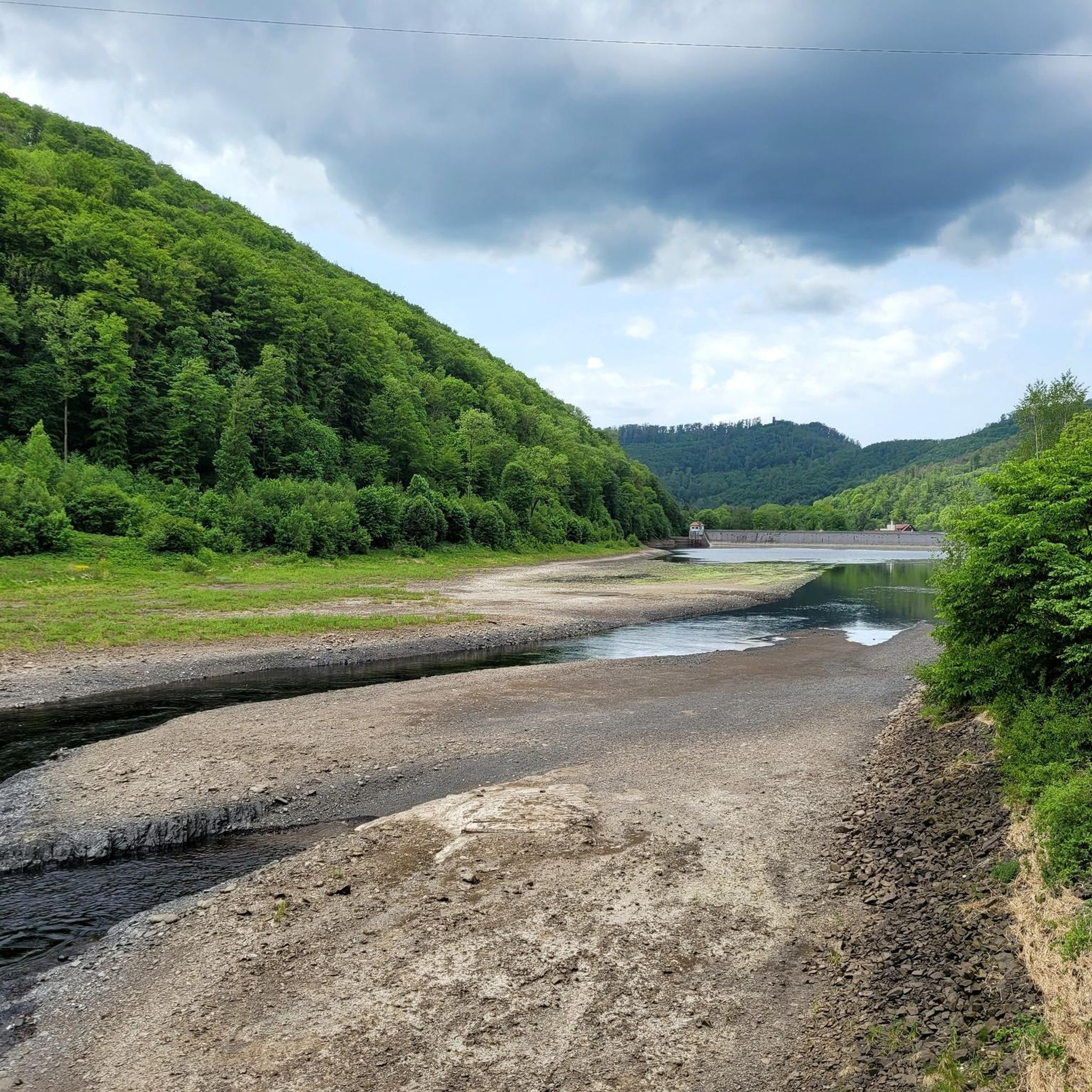
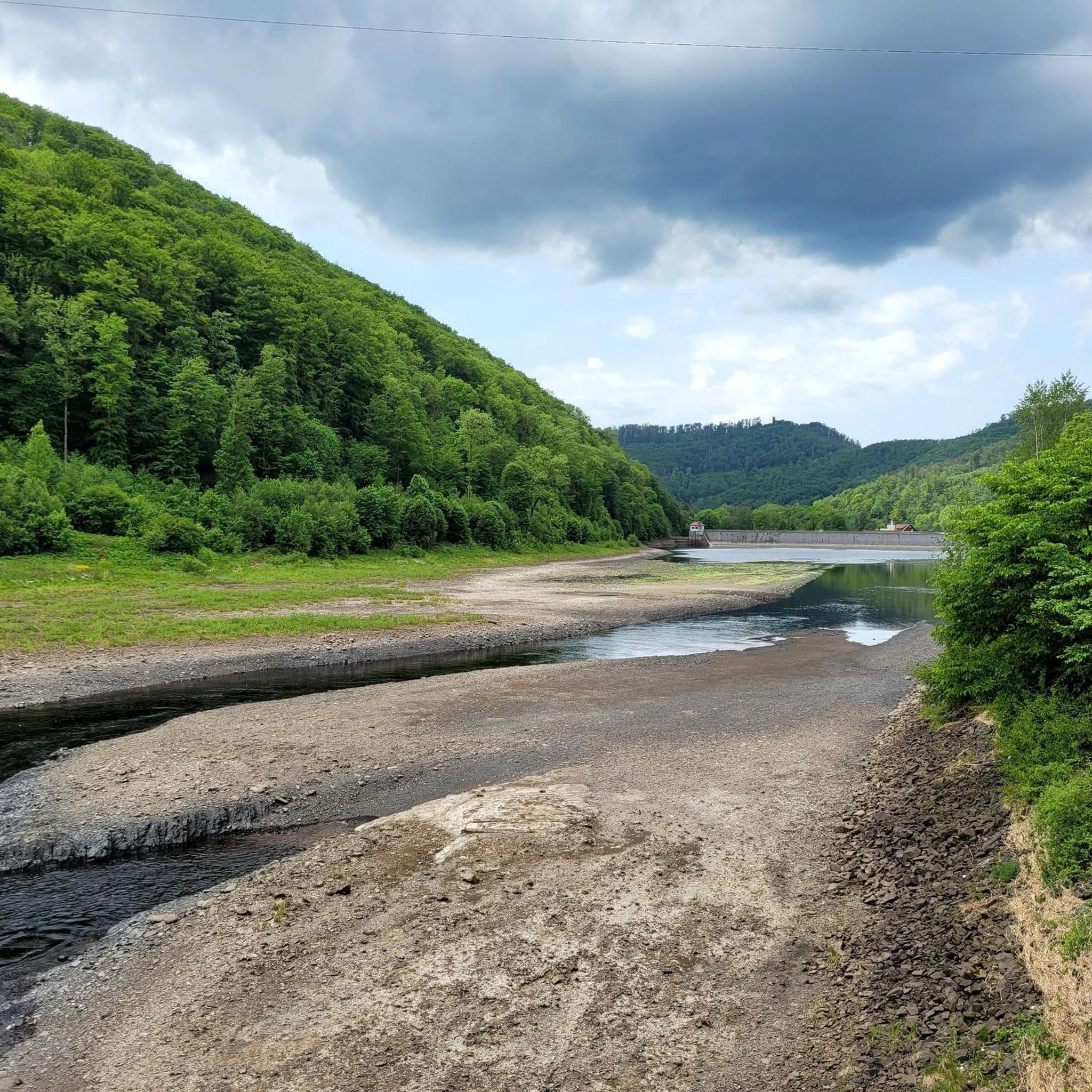
The crane ponds offer some great photo opportunities, a circular route leads around them, and it's not far from here to the "Historic Gypsum Kiln" stamping point
3
1

The two ponds are located near Bad Sachsa, west of the Neuhof district, and were created by the monks of the Cistercian monastery of Walkenried starting in the 12th century. A nature trail – a hiking trail – leads from the parking lot at the Crane Ponds in Neuhof around the Upper and Lower Crane Ponds, as well as the remains of other ponds. Because of their proximity to nature, the ponds are now part of the "Gypsum Karst Area near Bad Sachsa" nature reserve, which extends in several areas from Tettenborn to the Thuringian border; the area is also part of the European Natura 2000 protected area network. Crystal algae thrive in the clean, calcareous water of the ponds. The still waters also provide good conditions as a partial habitat for great crested newts. The marsh harrier also lives in the water-rich landscape near Neuhof and can occasionally be observed. Short detours from the trail lead to special features of the area: the Kranichstein quarry, where raw gypsum has been mined since the early 20th century, a historic gypsum kiln, and the Priestersteinhöhle natural monument, a shallow cave in the gypsum of the Kranichstein. The Lower Kranichteich is approximately 300 m long and 130 m wide, while the Upper Kranichteich is approximately 150 m long and 200 m wide. Both ponds are a true fishing paradise: In addition to the main species, trout, anglers can look forward to eel, pike, carp, and tench.
5
0

Stamping point of the Harzer hiking nobility no. 115
10
0
바트 라우터베르그 임 하르츠 주변에서 가장 인기 있는 경로
바트 라우터베르그 임 하르츠 주변에서 가장 인기 있는 명소


더 살펴보기
바트 라우터베르그 임 하르츠 주변에서 완벽한 호수를 아직 못 찾으셨나요? 이 지역의 가이드를 확인하여 더 아름다운 장소를 찾아보세요.
