러폴딩에서 가장 멋진 20개의 협곡
러폴딩에 있는 멋진 협곡 20
개를 소개해드릴게요. 아래에서 멋진 협곡을 살펴보고, 다음 러폴딩 모험에 도움이 될 만한 사진, 팁, 추가 정보를 알아보세요.
마지막 업데이트: 11월 14, 2026
클라우젠바흐클람 협곡
하이라이트 (구간) • 협곡
번역자 Google •
팁에 의해


이런 장소를 발견하려면 지금 가입하세요
최고의 싱글 트랙, 봉우리 및 다양한 흥미로운 야외 장소에 대한 추천을 받아보세요.
Wappbachtal
하이라이트 (구간) • 협곡
번역자 Google •
팁에 의해


오늘 무료 계정으로 시작하세요
다음 모험이 기다리고 있어요.
러폴딩 주변 인기 장소
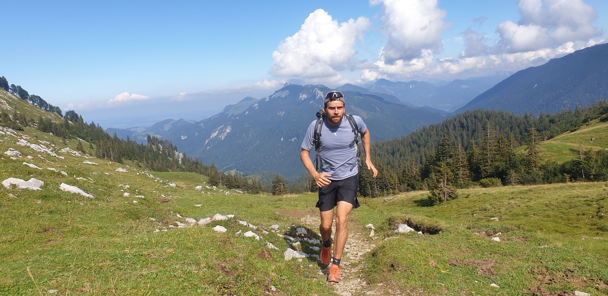
독일을 둘러싼 트라이어슬롱
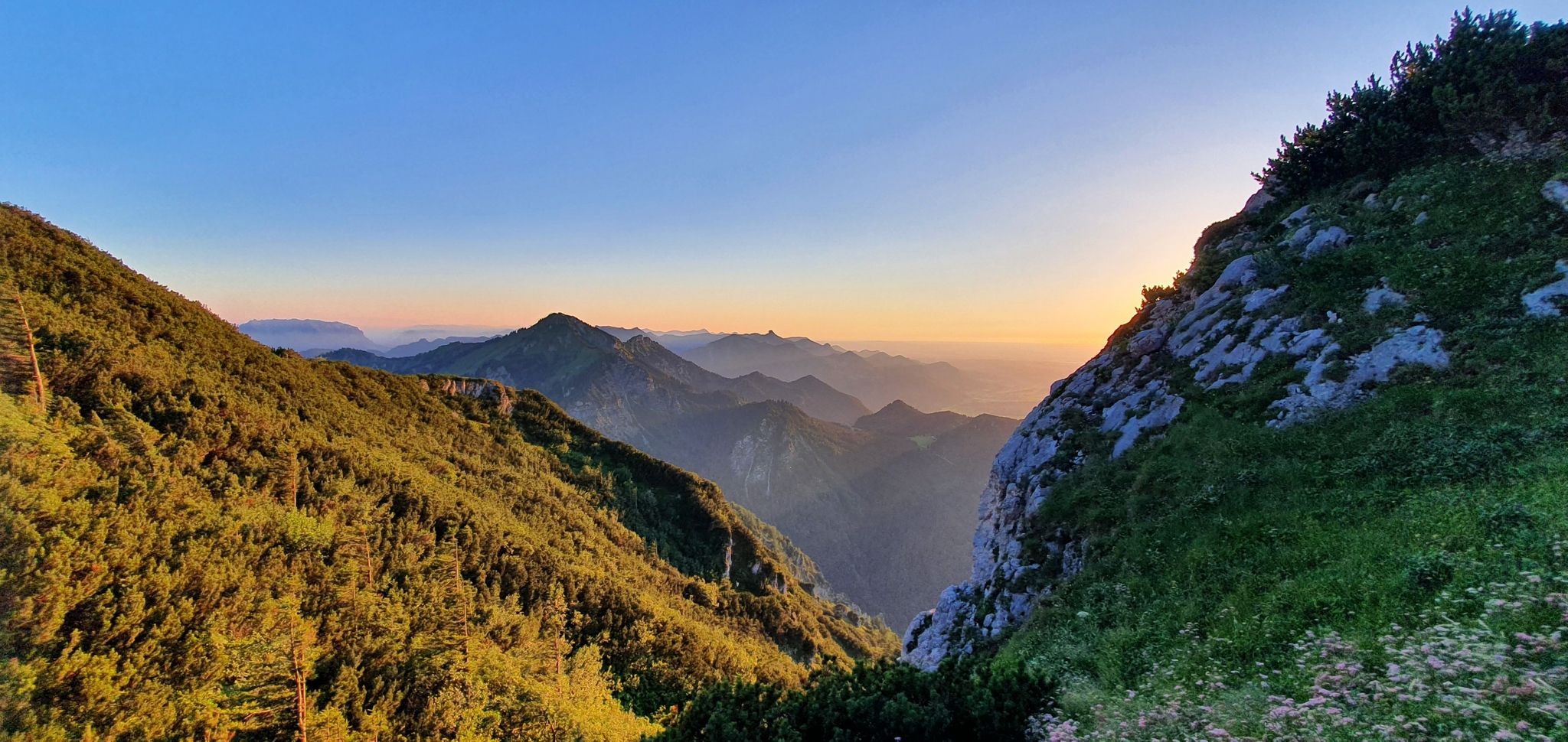
흰 금의 추적: 살츠알펜슈타이크
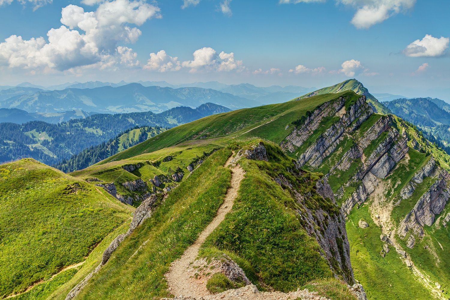
보ден젠에서 쾨닉젠까지 막시밀리안스weg에서
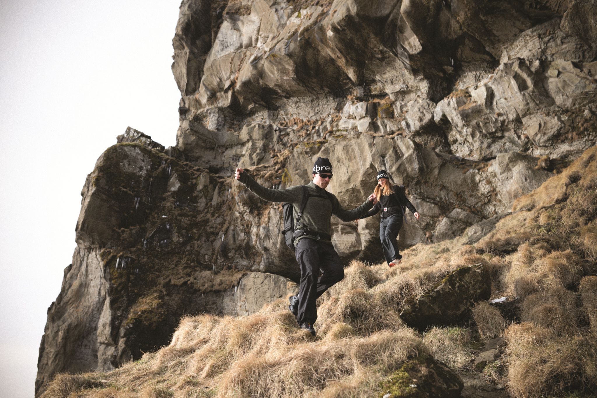
Trails Where The Right Warmth Matters – Alpine Adventures with icebreaker
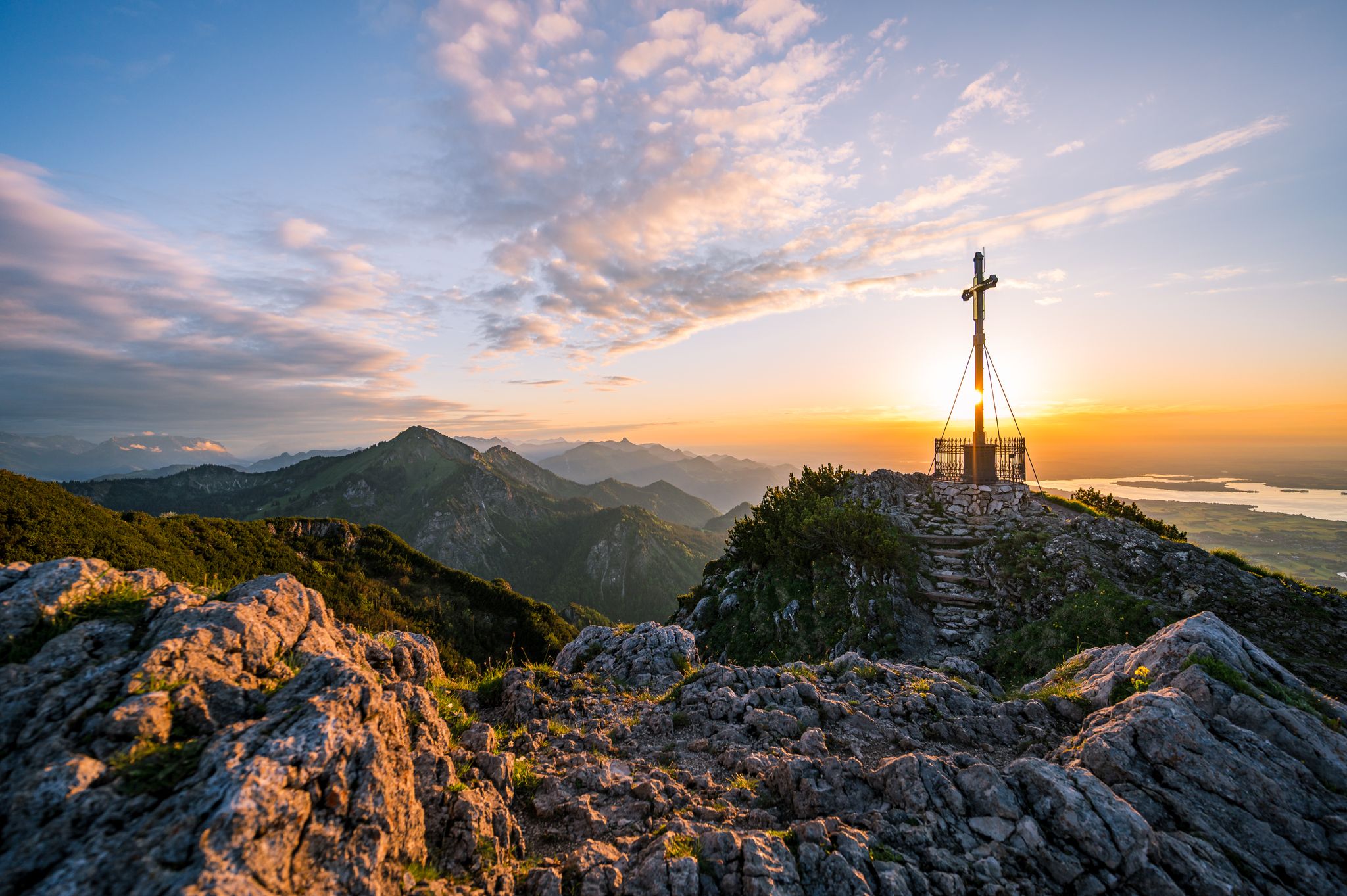
Autumn in Chiemgau – an atmospheric hiking break for two
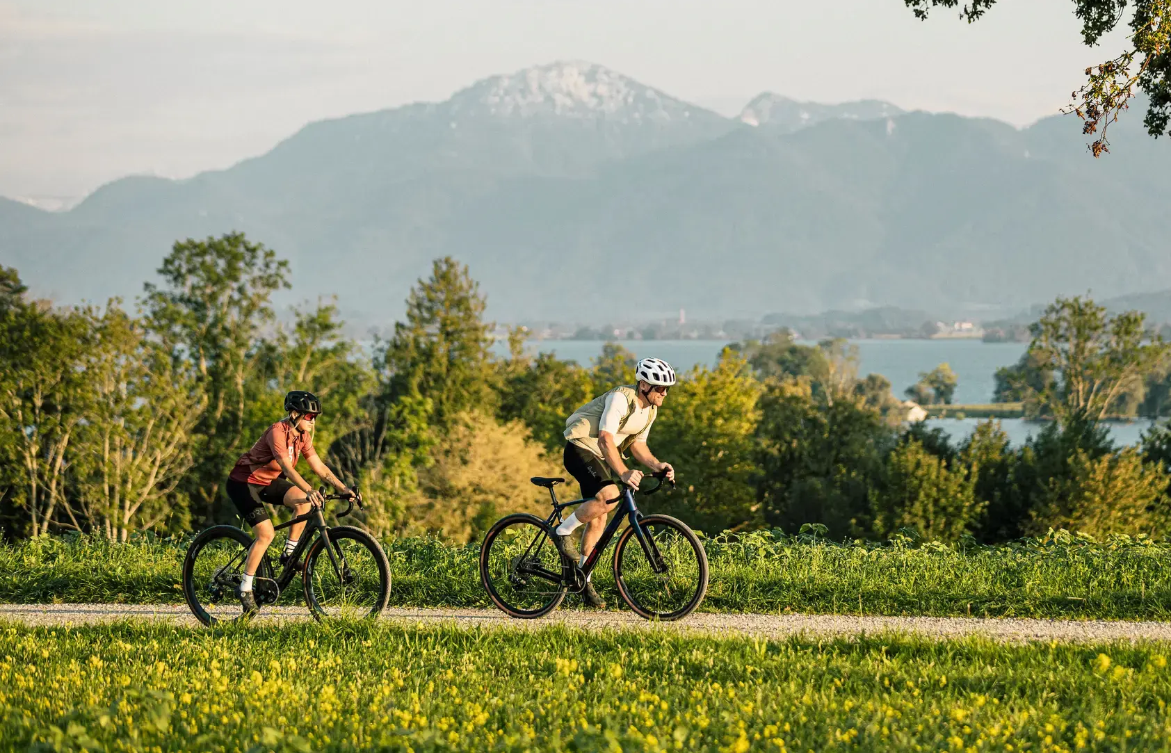
Alps 'n Lakes – Chiemgau Gravel Escapes
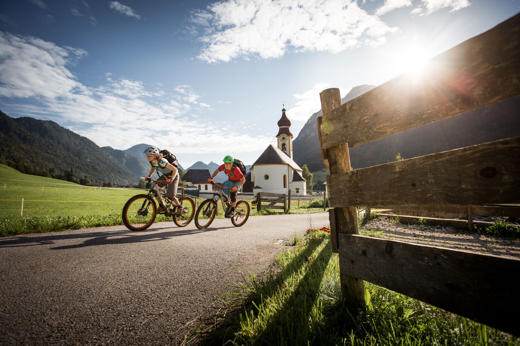
E-MTB – 바츠만 호흐쾨니히 서킷 높은 곳에서
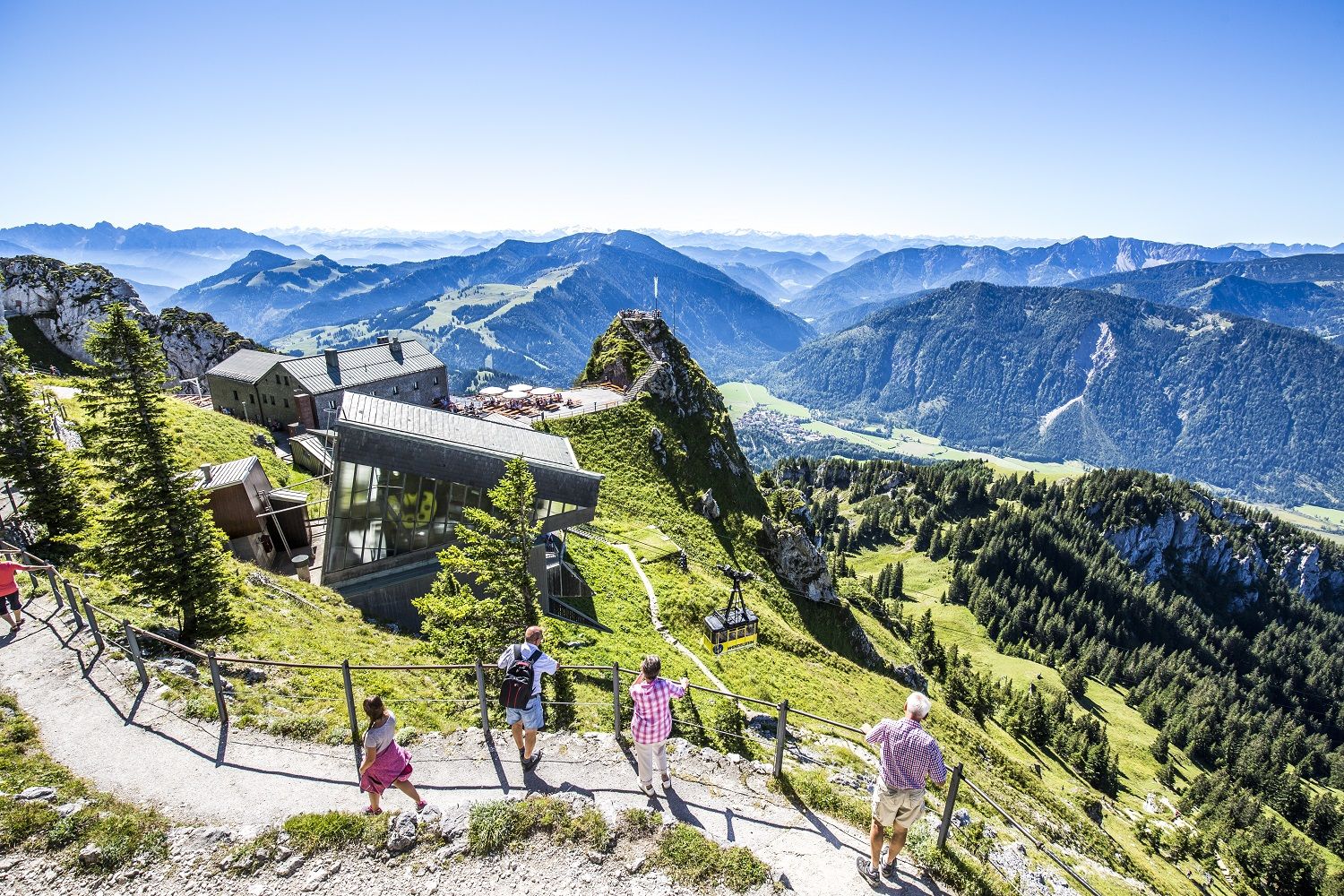
A little help to the top – mountain railways & cable cars in Chiemgau
The Max Trail — 서쪽에서 동쪽까지 알프스를 가로지르는
차임가우와 베르텐스가데너 땅에서 높이 올라서
러폴딩 주변의 다른 모험


커뮤니티 팁

Beautiful gorge, which also had a lot of water during our visit
0
0


Very nice circular walk with great spots. The descent at the end of the walk is a bit steep, but otherwise doable. The gorge itself is very beautiful.
0
0

Good nature trails with beautiful paths always close to the stream. You should be sure-footed.
0
0

From the starting point, you walk past the sports field, first hike to the Lofer meadows and follow the signs to the Grenzsteg. Along the Reit im Winkler fairytale forest, you go gently downhill to the Lofer, which flows into the Tiroler Ache in Kössen. After 30 minutes of walking, you reach the Grenzsteg (651m), a bridge that leads over the Lofer. Shortly after this, the wide forest road narrows into a wonderful walking path towards the Krautloidersteg. After 250 meters, the path meets a forest road. This leads to the right in a southwesterly direction up to the Mühlau raised moor (681m). The raised moor is picturesquely nestled on the border between Germany and Austria with a view of the Unterberghorn and the Geigelstein. The further climb up to the Demel-Hauseralm (879m) is very steep at first. After about 40 minutes and 200 meters of altitude, the view opens up to the alpine pastures around the alpine pasture above the Klausenbergalmen. Cows graze here in summer, and the pasture is crossed to the alpine pasture. Then an asphalt road leads steeply down to the alpine pastures on the Klausenberg (800m). The view of the summit wall of the Unterberghorn is simply spectacular from the alpine pasture area. From the Klausenberg alpine pasture area, it is a 15-minute hike to the entrance to the Klausenbach Gorge (780m), the highlight of this tour. The path across the gorge down to Blindau is slippery when wet. The path leads down through the gorge via a narrow root path to the foot of the mighty south wall of the gorge. The overhanging rock rises over 30 meters, and the Klausenbach flows towards the valley at the foot of the wall. And right next to it is the path through the gorge. The path leads along the rock face, somewhat more level, to a narrow bridge. From here, a stepped rock path leads steeply downhill into the valley basin of the gorge. In the stream you can marvel at the backwater, watermills and water channels that form the rock. At the bottom of the gorge, a narrow bridge (danger of slipping) leads over the Klausenbach to the other side of the gorge. It goes steeply up a few meters until the view opens up to Blindau. Simply fantastic!
2
0

If you start early in the summer/during the holiday season (9 a.m. at the latest), you'll have the gorge to yourself! There are two places where you can get right to the water. But be careful: the stones can be very slippery. The path through the gorge is easy to manage - with good shoes and a certain amount of surefootedness. Because there are numerous horseflies in places, insect spray is a good idea!
5
1

Beautiful new trail through the Weißenbach Gorge! Very pleasant, especially in summer, because you are always out and about in the shade.😊
4
0


더 살펴보기
이 지역에서 모든 것을 발견하셨나요? 다음 모험을 위해 러폴딩 주변의 추가 협곡을 확인해보세요:
