번호프 저수지 최고의 워킹 & 하이킹 경로
4.4
(233)
1,400
등산객
64
하이킹
번호프 저수지 최고의 하이킹과 워킹을 찾으시나요? 그렇다면 아름다운 카운티 더럼 호수 주변에 있는 경로 컬렉션을 아래에서 살펴보세요. 번호프 저수지에 있는 하이킹 트레일 중에서 마음에 드는 곳을 선택해 언제든지 야외 활동을 하면 돼요.
마지막 업데이트: 10월 12, 2026
4.5
(2)
69
등산객
4.26km
01:07
30m
30m
초급용 하이킹. 모든 체력 수준에 적합. 실력과 관계없이 누구나 쉽게 갈 수 있는 길.
4.0
(2)
5
등산객
5.82km
01:35
80m
80m
초급용 하이킹. 모든 체력 수준에 적합. 실력과 관계없이 누구나 쉽게 갈 수 있는 길.

4.5
(4)
13
등산객
8.78km
02:21
100m
100m
보통 하이킹. 좋은 체력 필요. 실력과 관계없이 누구나 쉽게 갈 수 있는 길.
4.0
(1)
13
등산객
16.3km
04:44
430m
430m
보통 하이킹. 좋은 체력 필요. 실력과 관계없이 누구나 쉽게 갈 수 있는 길.
5.0
(1)
12
등산객
16.0km
04:31
320m
320m
보통 하이킹. 좋은 체력 필요. 실력과 관계없이 누구나 쉽게 갈 수 있는 길.
더 다양한 경로와 다른 탐험가들의 추천을 살펴보세요.
이미 komoot 계정이 있나요?
투어 추천은 다른 사람들이 komoot에서 완료한 수천 개의 활동을 바탕으로 구성되어 있습니다.
오늘 무료 계정으로 시작하세요
다음 모험이 기다리고 있어요.
번호프 저수지 주변 인기 장소
커뮤니티 팁


Nice section of the weardale way, lots of wild raspberries.
0
0


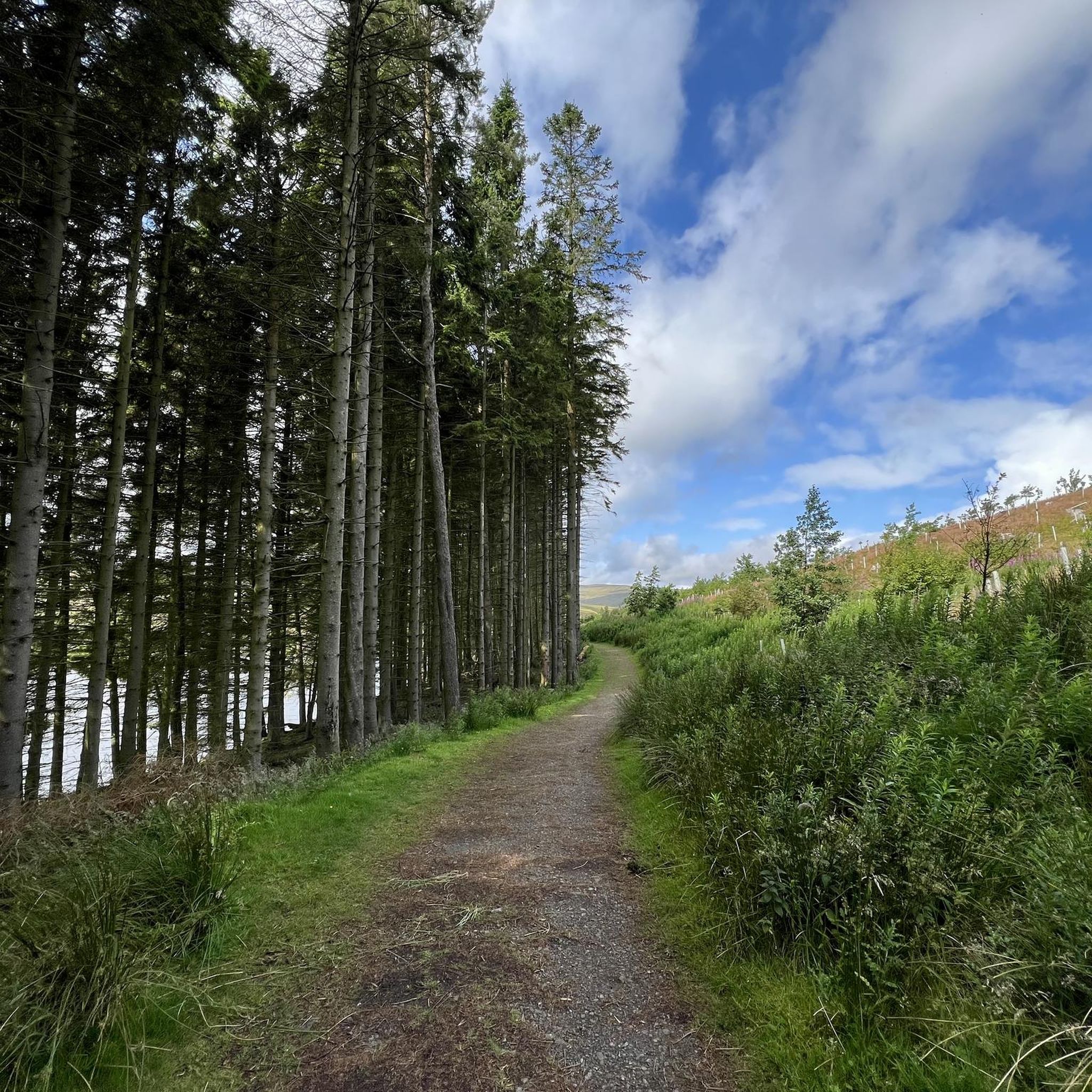
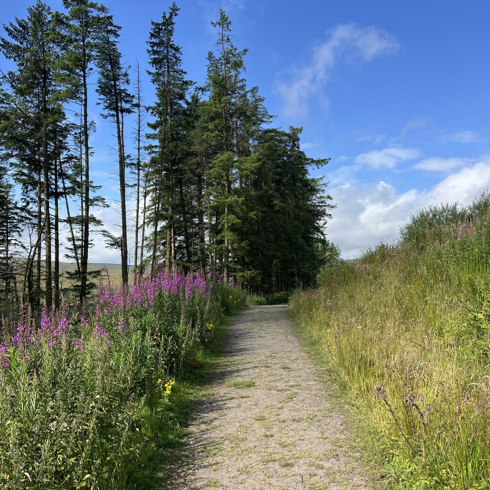
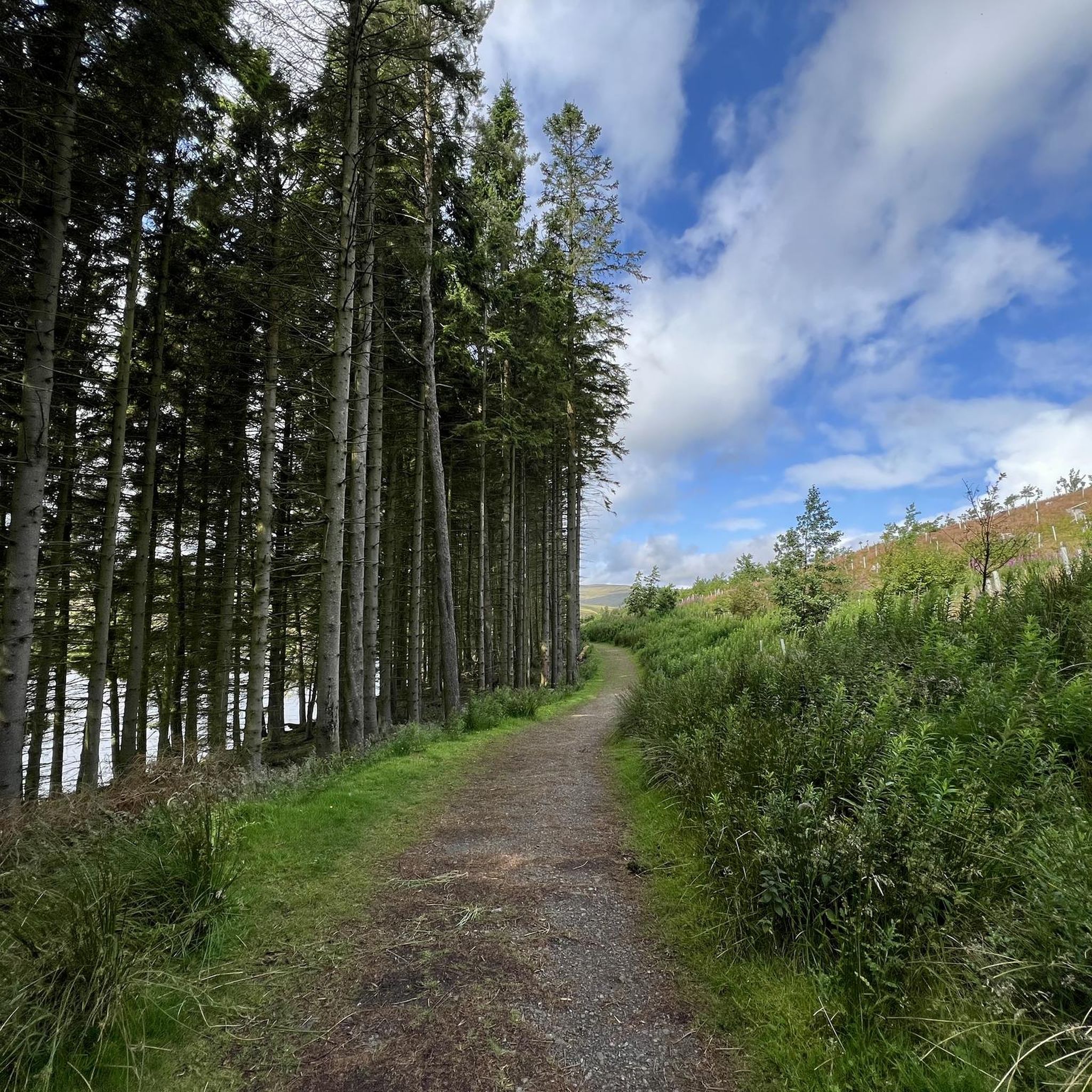
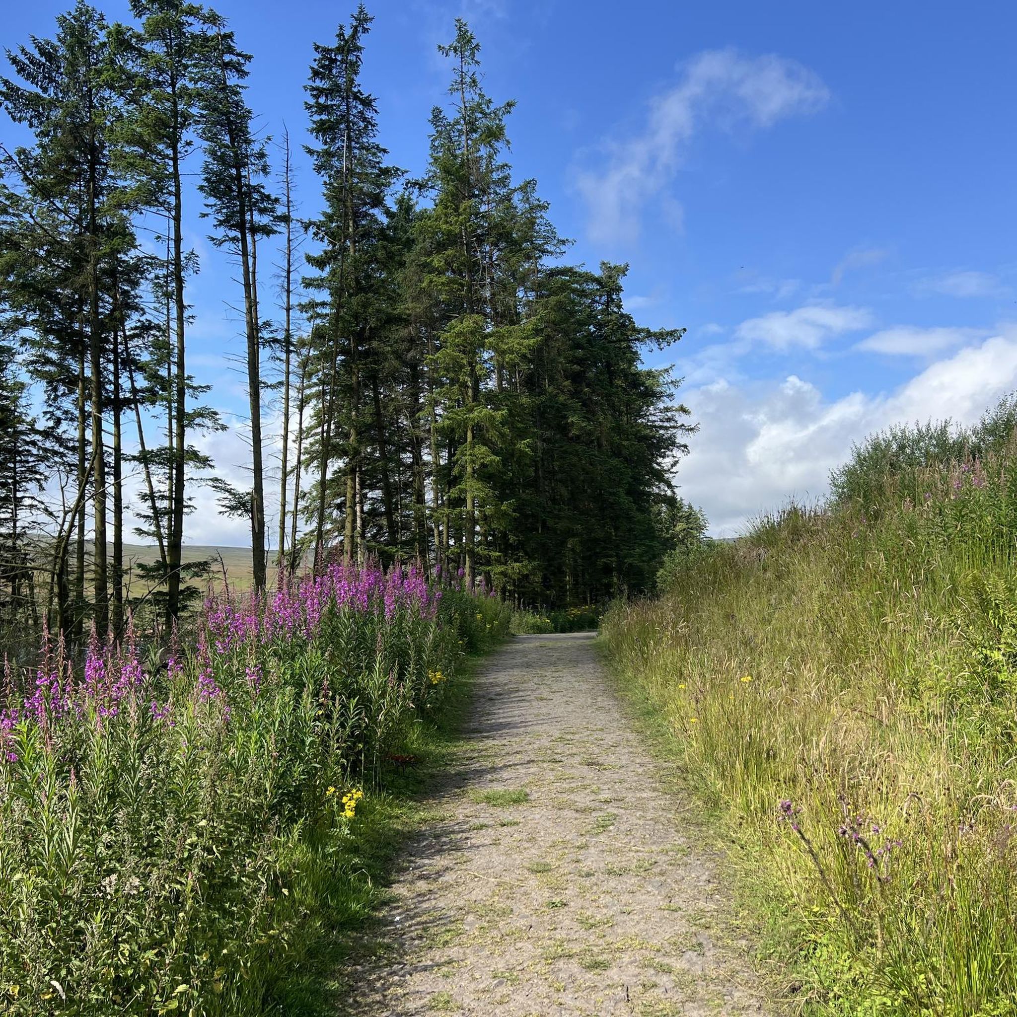
Burnhope Reservoir is a popular spot for hikers and dog walkers. It's a nice scenic spot with a variety of walks on either side of the reservoir, and there are parking spots at both ends of the dam. There are lovely rest spots with benches on the north side; I don't know regarding the southern side.
0
0

From this stone bridge with two arches, you can cross Killhope Burn in the village of Cowshill. If you look closely, very near the bridge, the burn forms a small and beautiful waterfall. Although if you observe it from the bridge, you see it from behind, there are several points around from which you can view the waterfall face-on.
1
0

High up in Weardale, Wearhead is where the Burnhope Burn and Killhope Burn merge to form the River Wear, one of the North East's great rivers. The surrounding countryside is sumptuous walking territory, right in the beating heart of the North Pennines Area of Outstanding Natural Beauty. To the west of the village is Burnhope Reservoir, which makes for a lovely loop. Meanwhile, some of the highest land in County Durham is within hiking distance, including county high point Burnhope Seat at 2,451 feet (747 m).
0
0


더 살펴보기
다른 지역의 최고의 하이킹를 살펴보세요.
