디폴사우 최고의 사이클링 경로
4.1
(38)
314
자전거 타는 사람
16
라이딩
디폴사우 최고의 사이클링 경로를 따라 지역을 둘러볼까요? 디폴사우에서 가장 멋진 자전거 라이딩 장소 중에서 가장 마음에 드는 라이딩을 선택해보세요.
마지막 업데이트: 10월 13, 2026
4.8
(22)
120
자전거 타는 사람
20.9km
01:20
30m
30m
초급용 자전거 라이딩. 모든 체력 수준에 적합. 대부분 포장된 지면. 실력과 관계없이 누구나 갈 수 있음.
5.0
(7)
41
자전거 타는 사람
30.9km
01:45
60m
60m
초급용 자전거 라이딩. 모든 체력 수준에 적합. 대부분 포장된 지면. 실력과 관계없이 누구나 갈 수 있음.

4.0
(1)
19
자전거 타는 사람
24.8km
01:45
470m
470m
어려운 자전거 타기. 우수한 체력 필요. 대부분 포장된 지면. 실력과 관계없이 누구나 갈 수 있음.
5.0
(2)
13
자전거 타는 사람
21.8km
01:15
50m
50m
초급용 자전거 라이딩. 모든 체력 수준에 적합. 대부분 포장된 지면. 실력과 관계없이 누구나 갈 수 있음.
10
자전거 타는 사람
초급용 자전거 라이딩. 모든 체력 수준에 적합. 대부분 포장된 지면. 실력과 관계없이 누구나 갈 수 있음.
더 다양한 경로와 다른 탐험가들의 추천을 살펴보세요.
이미 komoot 계정이 있나요?
투어 추천은 다른 사람들이 komoot에서 완료한 수천 개의 활동을 바탕으로 구성되어 있습니다.
오늘 무료 계정으로 시작하세요
다음 모험이 기다리고 있어요.
커뮤니티 팁


Such a beautiful route!
0
0

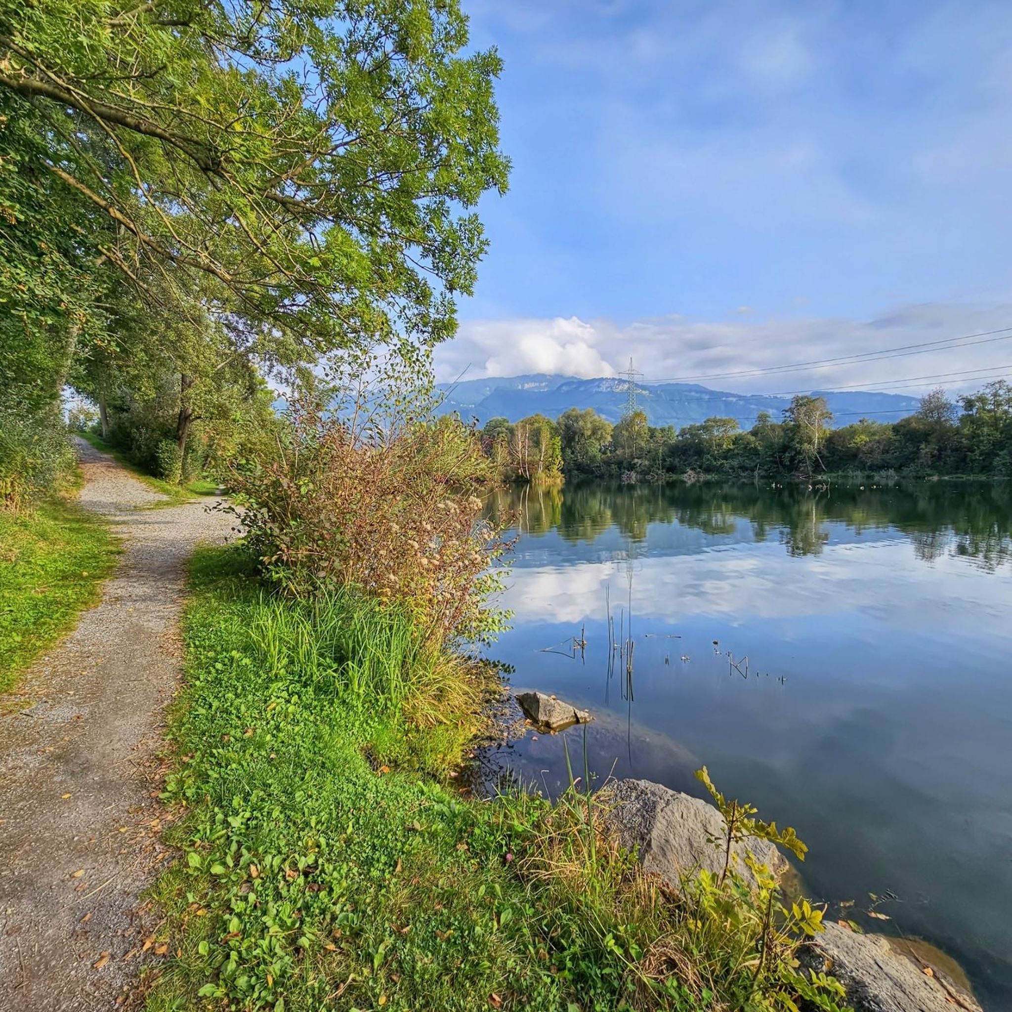
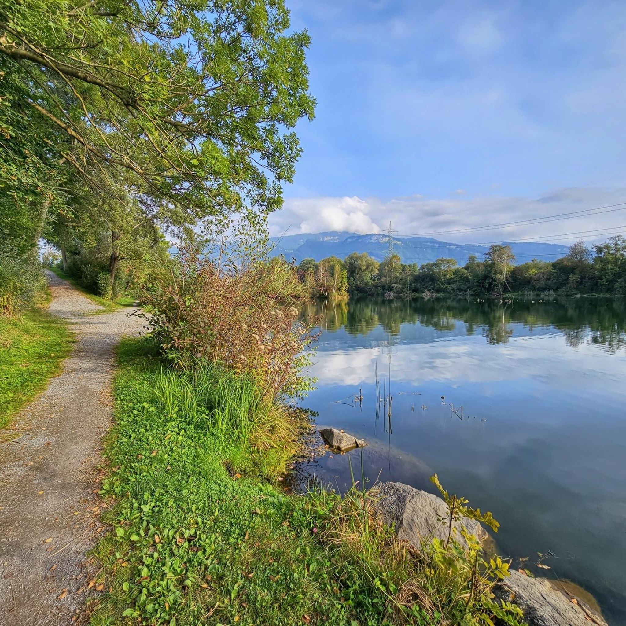
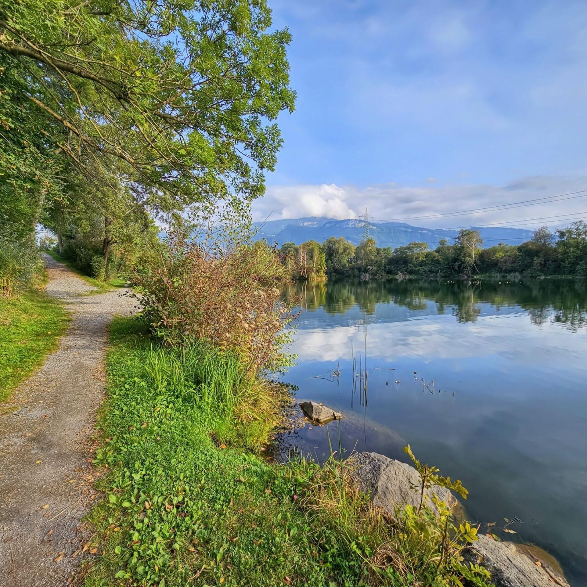
Wichenstein Nature Reserve, Oberriet The extensive Wichenstein Nature Reserve, with its biotope and set against the backdrop of an imposing limestone cliff, is an important nesting site for forest, hedge, and water birds. This wetland also provides a habitat for many insects, frogs, and amphibians. Wichenstein, with its over 20 hectares of land, is considered a reserve of supra-regional importance. It offers a place of peace and relaxation. A fire pit is located in the immediate vicinity of the pond. Text / Source: Municipality of Oberriet https://www.oberriet.ch/natur/7484
13
3
Wichenstein Nature Reserve, Oberriet The extensive Wichenstein Nature Reserve, with its biotope and set against the backdrop of an imposing limestone cliff, is an important nesting site for forest, hedge, and water birds. This wetland also provides a habitat for many insects, frogs, and amphibians. Wichenstein, with its over 20 hectares of land, is considered a reserve of supra-regional importance. It offers a place of peace and relaxation. A fire pit is located in the immediate vicinity of the pond. Text / Source: Municipality of Oberriet https://www.oberriet.ch/natur/7484
15
0
Wichensteiner See, Oberriet The Wichensteiner See is located in the municipality of Oberriet at the eastern foot of the Semelenberg. A clay pit operated on the area of the present lake from 1830 to 1972. The lake lies at an elevation of 420 meters above sea level and has a maximum depth of approximately 5.5 meters. It is divided into a smaller northern basin and a larger southern basin. The area was acquired by the municipality of Oberriet in 1976 and declared a nature reserve in 1982. East of the lake lies the "Grube Loo" (Loo Pit) – also a former clay pit – which, together with the Wichensteiner See, is a fen of regional importance and an amphibian spawning area of national importance. The lake is fed, in addition to underground springs, by the Wichensteinerbach stream, which drains the northern foot of the Semelenberg. The outflow structure leads into the Aubach stream. Text / Source: Canton of St. Gallen, Office for Environment and Energy https://www.sg.ch/content/dam/sgch/umwelt-natur/wasser/seen-und-weiher/02-01--gew%C3%A4sserqualit%C3%A4t-seen/kleinseen-und-weiher/Wichtensteiner%20See%20Oberriet.pdf
16
0


Good, home-style cooking, beautiful views of the Rhine Valley and Vorarlberg.
1
0


