Georgetown 최고의 러닝 경로
182
달리기 하는 사람
8
러닝
Georgetown에서 하이킹하며 클리어 크릭 카운티 구석 부분까지 살펴볼까요? Georgetown에 있는 모든 하이킹 및 워킹 경로 컬렉션 중 가장 멋진 하이킹 경로를 엄선하여 소개해드릴게요. 다른 하이커가 공유한 실제 팁과 사진을 살펴보고 후기를 읽으며 마음에 드는 Georgetown 워킹 경로를 찾아보세요.
마지막 업데이트: 10월 10, 2026
7
달리기 하는 사람
13.1km
01:54
570m
570m
Challenge yourself on the Hells Hole Trail, a difficult jogging route spanning 8.1 miles (13.1 km) with a significant 1866 feet (569 metres) of elevation gain. This demanding journey, typically…
5
달리기 하는 사람
10.8km
01:27
290m
290m
The Silver Creek Trail near Georgetown offers an easy, scenic jogging route with constant, sweeping views of the surrounding wilderness. As you traverse a ridge on Saxon Mountain, you'll encounter…

3
달리기 하는 사람
6.41km
01:02
380m
380m
Embark on the difficult 7:30 Mine Trail for a challenging jogging experience in Arapaho National Forest. This route spans 4.0 miles (6.4 km) and demands a significant 1248 feet (380…
2
달리기 하는 사람
2.42km
00:18
40m
40m
The Tom Bennhoff Lake Trail loop offers a delightful and easy outing around Georgetown Lake, perfect for a quick jog or a relaxed walk. You'll follow the shoreline, moving through…
1
달리기 하는 사람
21.3km
03:33
1,180m
1,180m
The Mount Flora Trail offers a quintessential Colorado high-alpine jogging experience, taking you along a section of the Continental Divide with continuous, expansive views. You'll start on a service road…
더 다양한 경로와 다른 탐험가들의 추천을 살펴보세요.
이미 komoot 계정이 있나요?
투어 추천은 다른 사람들이 komoot에서 완료한 수천 개의 활동을 바탕으로 구성되어 있습니다.
오늘 무료 계정으로 시작하세요
다음 모험이 기다리고 있어요.
Georgetown 주변 인기 장소
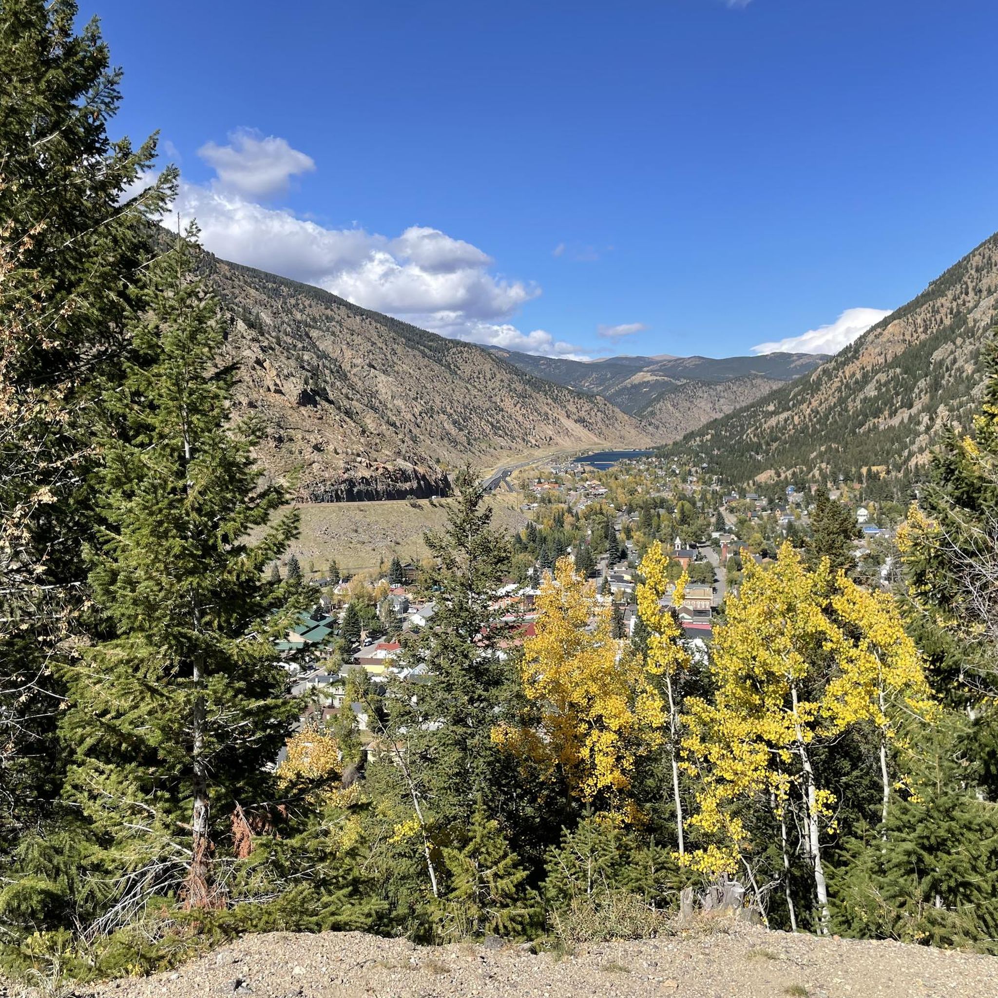
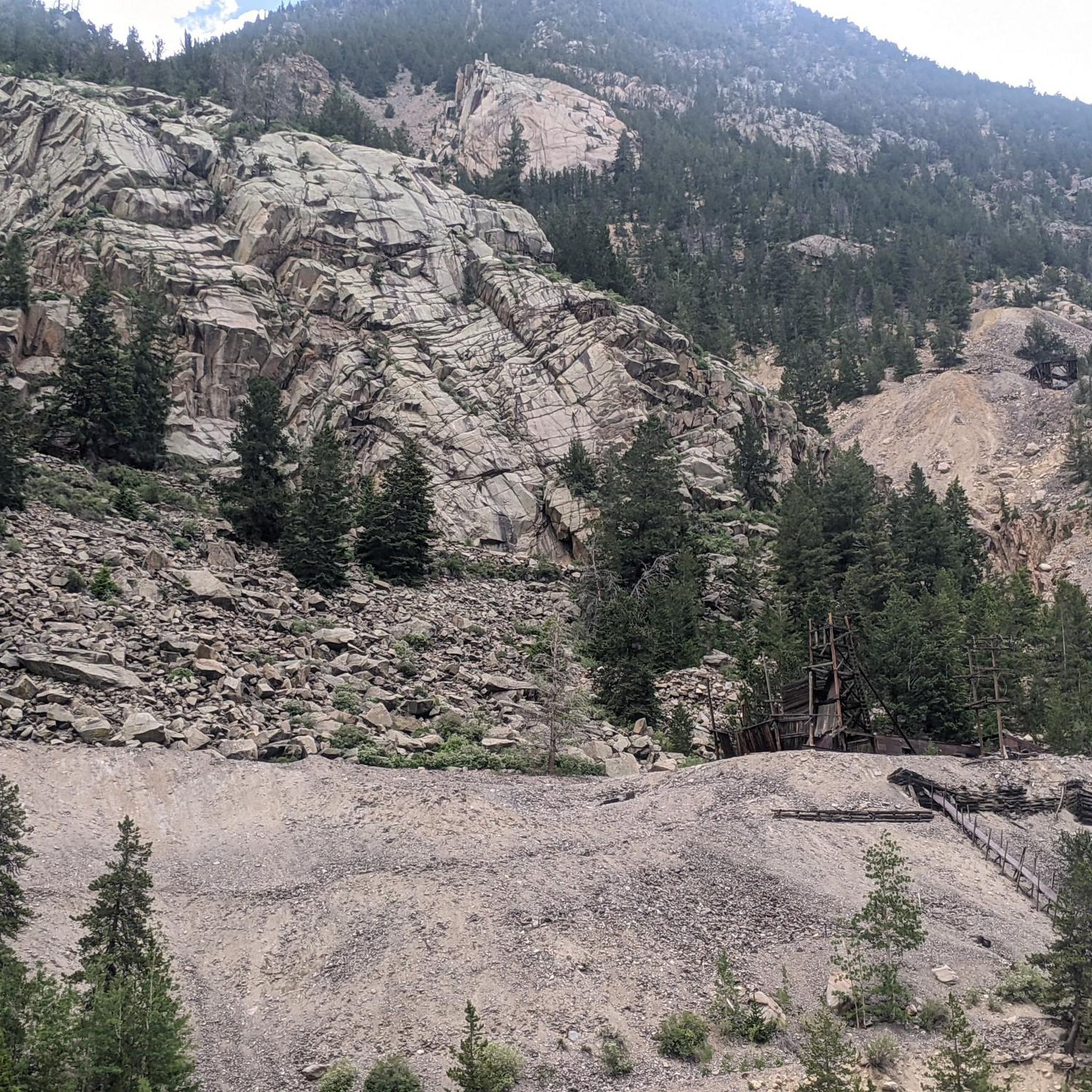
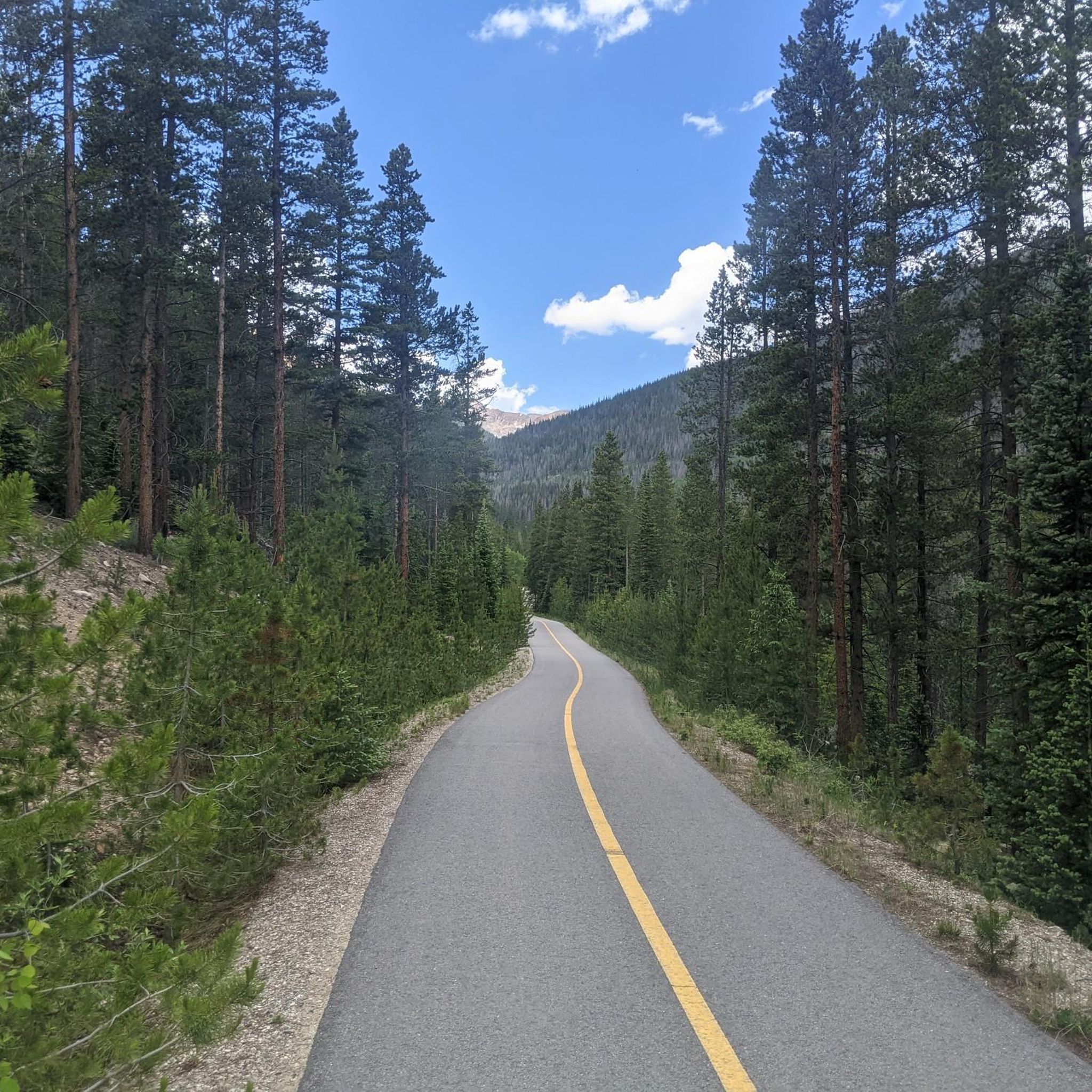
커뮤니티 팁

The trail keeps going from here all the way to Lawson. Because it was built for wagons, the trail grade is flat as it skirts the mountains. If you are looking for a flat trail run that gets you into the wilderness, this is a great pick. You have to contend with noise from I-70, but thus is the tradeoff of flat running in the mountains.
0
0
This trail is an old wagon route between Georgetown and Lawson commissioned in 1887. There are lots of abandoned mines to look out for. You can hop on from either end of the trail or from parking at Alvarado Road.
0
0
This is a wide, well-landscaped, crushed gravel trail which skirts around the shoreline of Georgetown Lake. The trail crosses the dam at the lake's northern end. Both ends of this segment intersect with steeper trails that take you up the mountain to Dunbarton Mine (north) and the Purdy Trail (south).
0
0

Tom Bennoff Lake Trail circles around the entirety of Georgetown Lake. You can fish, boat, picnic, and ice skate on the lake (ice skating is of course only during the winter). The lake is easily visible from the interstate, but the trail travels through a treed area on the other side of the water.
0
0
There is roadside parking along the dirt road by the creek. From here the first portion of the trail will be up around four miles of gravel roads until you hit the Continental Divide Trail.
0
0
The Mount Flora Trail along Breckinridge Peak ascends from Empire via a singletrack trail that winds up through talus and scree fields. From the ridge you get fantastic views north towards Mount Eva and into the Mill Creek valley below.
0
0
Mount Flora rises to 13,146 feet and offers unobstructed views of the surrounding peaks and forests. The summit can be reached from multiple angles, but it is most often approached from the Berthoud Pass side.
0
0
The trail follows West Chicago Creek as it climbs steadily along singletrack trail until you break out of treeline by Hell's Hole.
0
0
around Georgetown에서 가장 인기 있는 경로
around Georgetown에서 가장 인기 있는 명소


더 살펴보기
다른 지역의 최고의 러닝 트레일 & 경로를 살펴보세요.
