Pasadena 최고의 라이딩 경로
4.6
(170)
4,833
자전거 타는 사람
48
라이딩
Pasadena에서 로드 사이클링을 하실 계획인가요? Pasadena의 모든 로드 라이딩 중에서 가장 멋진 라이딩 장소를 엄선했으니 Pasadena에서 가장 마음에 드는 로드 사이클링 경로를 찾아보세요.
마지막 업데이트: 10월 10, 2026
5.0
(1)
259
자전거 타는 사람
76.9km
04:53
1,860m
1,860m
Embark on the Pasadena to Mount Wilson racebike route, a difficult ascent that takes you high above the Los Angeles basin. This challenging ride covers 47.8 miles (76.9 km) and demands a significant 6112 feet (1863 metres) of elevation gain, typically taking around 4 hours and 53 minutes to complete. As you climb, the urban sprawl gives way to the tranquil San Gabriel Mountains, offering increasingly expansive views. Past Clear Creek, the scenery truly opens up, rewarding your effort with panoramic vistas that stretch from the San Gabriel Mountains to Mount Baldy and even downtown Los Angeles from the Mount Wilson Summit Viewpoint.
When planning your ride, be mindful of traffic conditions, especially on the initial sections of Highway 2. These early miles can experience moderate to fast-moving vehicle traffic, so consider riding on weekdays to avoid heavier weekend congestion. If you are riding on a weekday, aim to be at or past the Red Box Picnic Area by 2 PM to steer clear of increased traffic. You will find convenient public water fountains and restrooms available at both the Clear Creek Fire Station and the Red Box Picnic Area, which are good spots for a break.
This route is widely recognized as one of Southern California's premier and most challenging road cycling climbs. It offers a unique opportunity to escape the city and immerse yourself in the natural beauty of the San Gabriel Mountains. The journey provides a distinct experience, allowing you to climb high above the urban landscape into a serene mountain environment. Red Box Gap is another popular stop along the way, known for its excellent views and serving as an ideal place to pause and regroup.
219
자전거 타는 사람
129km
07:05
2,430m
2,430m
어려운 도로 자전거 타기. 우수한 체력 필요. 지면 대부분이 잘 포장되어 있고 라이딩하기 쉬움.

5.0
(1)
178
자전거 타는 사람
78.4km
04:17
1,540m
1,540m
어려운 도로 자전거 타기. 우수한 체력 필요. 투어 중 라이딩하기 어려운 비포장 구간이 있을 수 있음.
74
자전거 타는 사람
64.5km
03:07
870m
870m
보통 도로 자전거 타기. 좋은 체력 필요. 지면 대부분이 잘 포장되어 있고 라이딩하기 쉬움.
4.8
(5)
81
자전거 타는 사람
10.4km
00:32
110m
110m
초급용 로드 라이딩. 모든 체력 수준에 적합. 지면 대부분이 잘 포장되어 있고 라이딩하기 쉬움.
더 다양한 경로와 다른 탐험가들의 추천을 살펴보세요.
이미 komoot 계정이 있나요?
투어 추천은 다른 사람들이 komoot에서 완료한 수천 개의 활동을 바탕으로 구성되어 있습니다.
오늘 무료 계정으로 시작하세요
다음 모험이 기다리고 있어요.
커뮤니티 팁

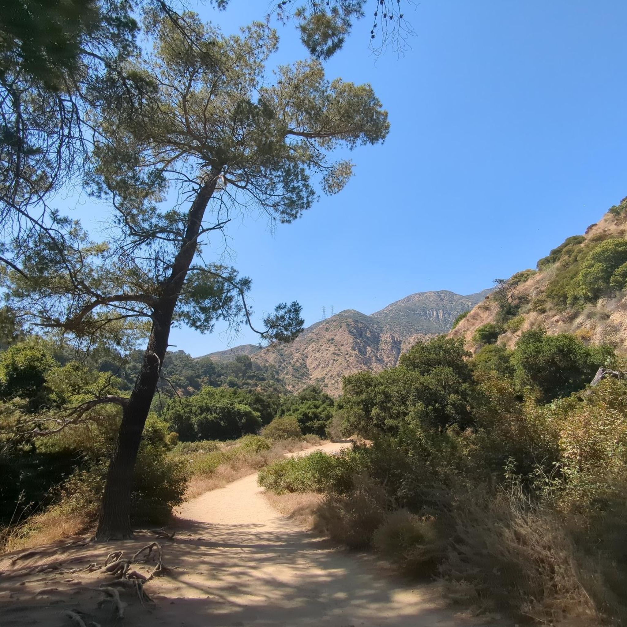
Cycle and running friendly. Great for adding a few extra miles to your ride
0
0

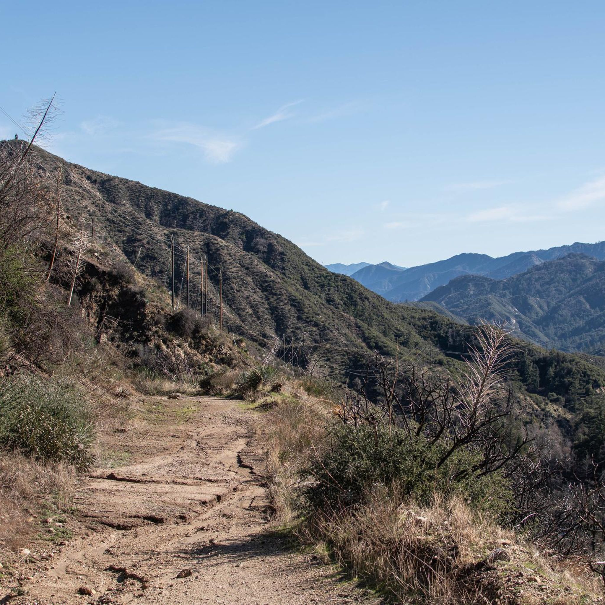
Climb out of the Brookside Golf Club area and into the Pasadena suburban area. This climb has a nice shoulder and is lined with trees.
0
0

The Rose Bowl Loop Trail is a 3.3-mile paved loop that includes both the stadium and Brookside Golf Course. It's a local favorite fitness track for runners, walkers, and cyclists with picturesque views of the San Gabriel Mountains. This 5K loop is often featured in fundraising events, including the annual Walk to End Epilepsy.
0
0

This is where you leave Crystal Lake Road to get to Crystal Lake. Crystal Lake is a beautiful lake in the San Gabriel Mountains. If you want to stay the night, there are campsites on the banks of the lake.
0
0

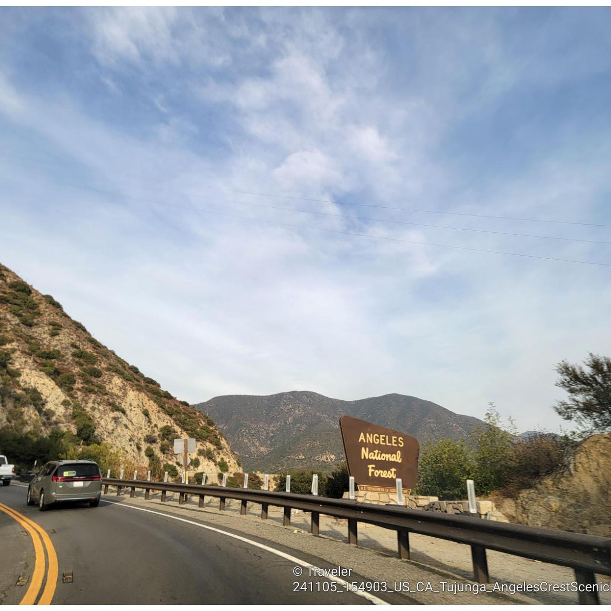
The Crystal Lake climb begins in the Angeles National Forest, offering cyclists a moderately challenging route through some scenic landscapes. As you approach the 7-mile mark, the climb starts to reward your efforts with dramatic views of the winding switchbacks and the canyon below. The final stretch on Crystal Lake Road provides a peaceful, lightly trafficked road, ideal for cyclists to finish the climb on a well-maintained path with stunning views ahead.
0
0
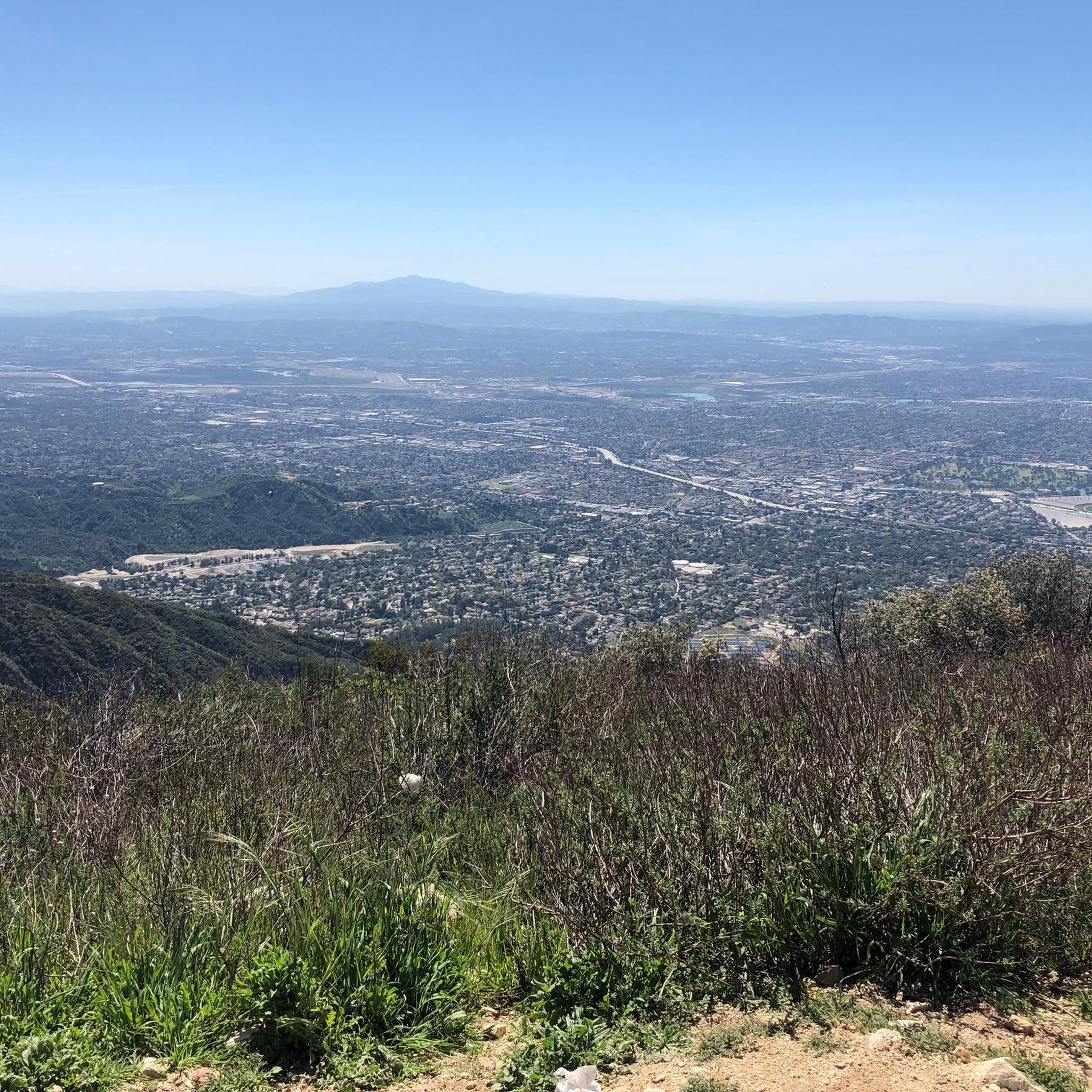
Highway 39 climbs deep into Southern California’s San Gabriel Mountains, starting with a steady grade that twists through rugged terrain and offers sweeping views. After passing multiple switchbacks, a Crystal Lake turnoff, and a gated parking area around mile 12, the road softens slightly, continuing along a scenic ridgeline toward the junction with Angeles Crest Highway. A final moderate push leads you to Dawson Saddle at just under 8,000 feet, a summit raced by the pros and known as one of California’s most difficult ascents.
0
0
around Pasadena에서 가장 인기 있는 명소


더 살펴보기
다른 지역의 최고의 로드 사이클링 경로를 살펴보세요.
