Pacifica에서 가장 멋진 17개의 산 정상
Pacifica의 산 정상에 오르면 이 지역의 아름다운 모습을 제대로 구경할 수 있어요. 다만, 17
곳이나 되는 산 정상 중에서 어떤 곳을 가야 할 지 고민된다는 게 문제죠. Pacifica에서 가장 멋진 산 정상을 살펴본 후에 마음에 드는 산 정상을 다음 모험 계획에 추가해보세요.
마지막 업데이트: 9월 14, 2026
샌 브루노 마운틴 주립 및 카운티 공원
하이라이트 • 자연 기념물
팁에 의해

모리 포인트 정상 그래피티 벙커
하이라이트 • 기념물
팁에 의해
이런 장소를 발견하려면 지금 가입하세요
최고의 싱글 트랙, 봉우리 및 다양한 흥미로운 야외 장소에 대한 추천을 받아보세요.
Old San Pedro Mountain Road 정상
하이라이트 • 정상
팁에 의해

노스 피크(서쪽 정상)
하이라이트 • 정상
팁에 의해
Bayshore Blvd 정상과 목초지
하이라이트 • 정상
팁에 의해
무료로 가입하여 around Pacifica의 더 많은 봉우리를 발견하세요.
이미 komoot 계정이 있나요?
오늘 무료 계정으로 시작하세요
다음 모험이 기다리고 있어요.




커뮤니티 팁

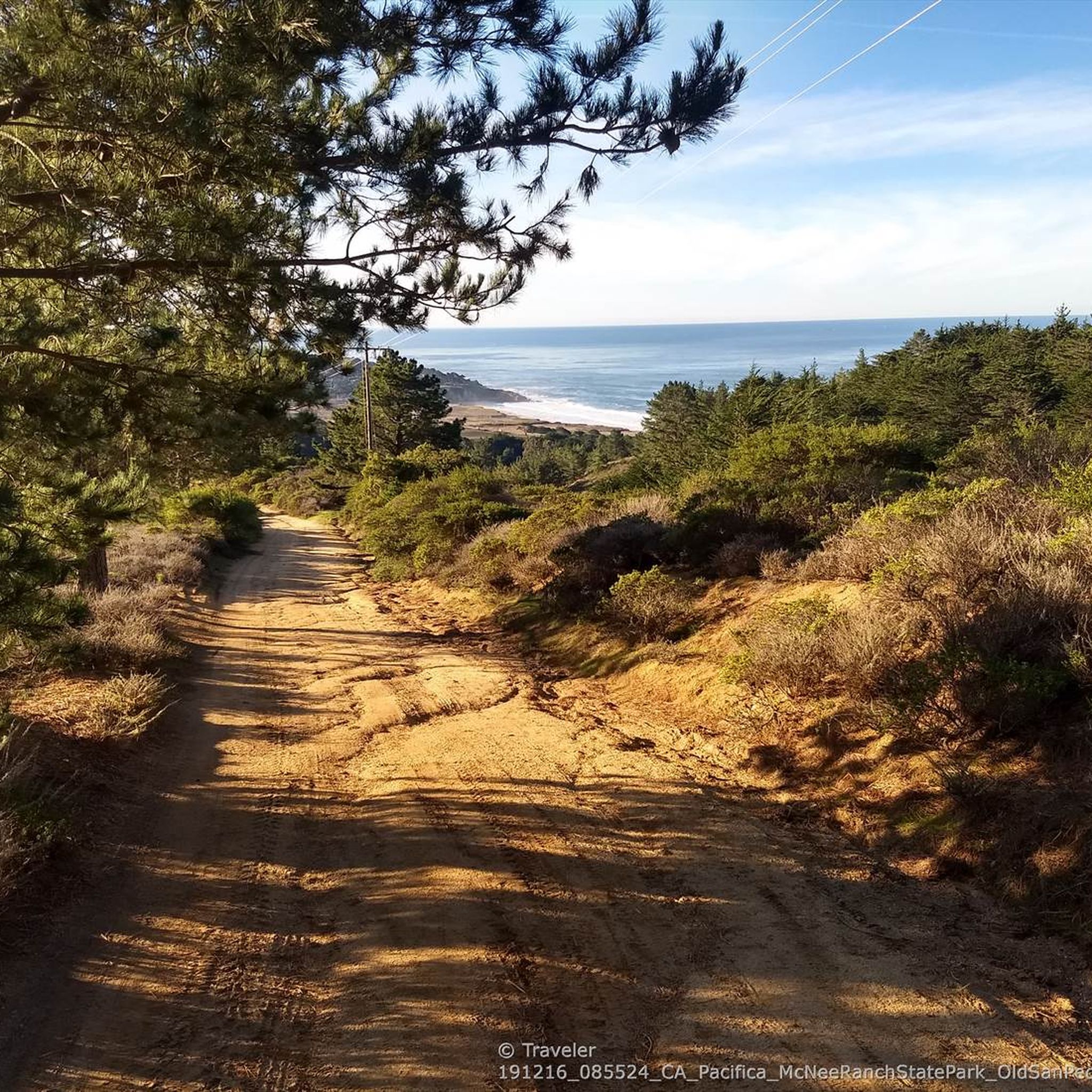
This isn't the sort of road you'd take a vehicle on, nowadays - but it's great for nontechnical mountain biking, and this high point gives you nice views over the surrounding hills.
0
0
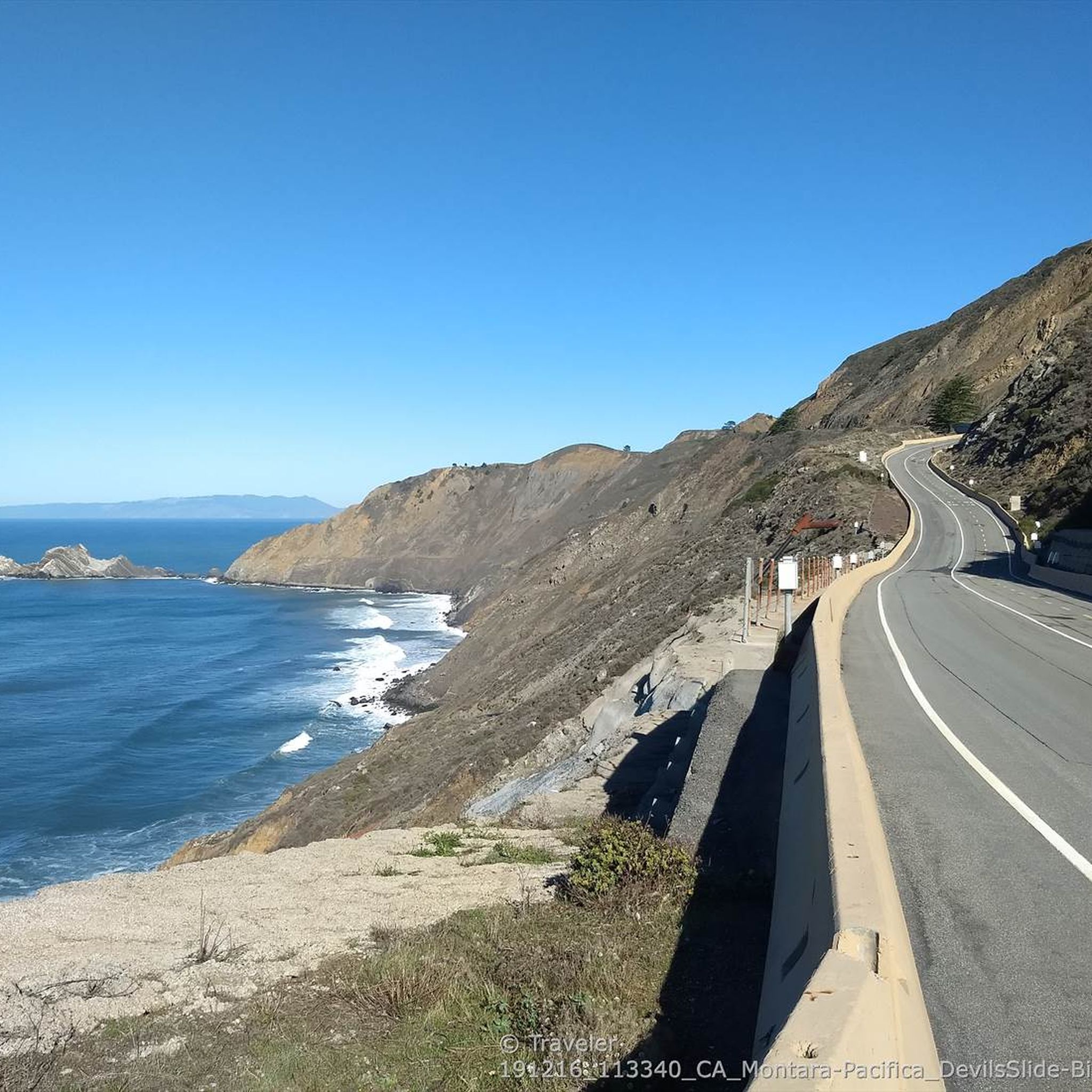
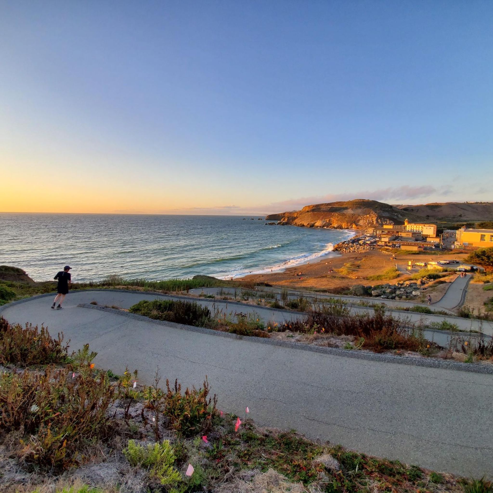
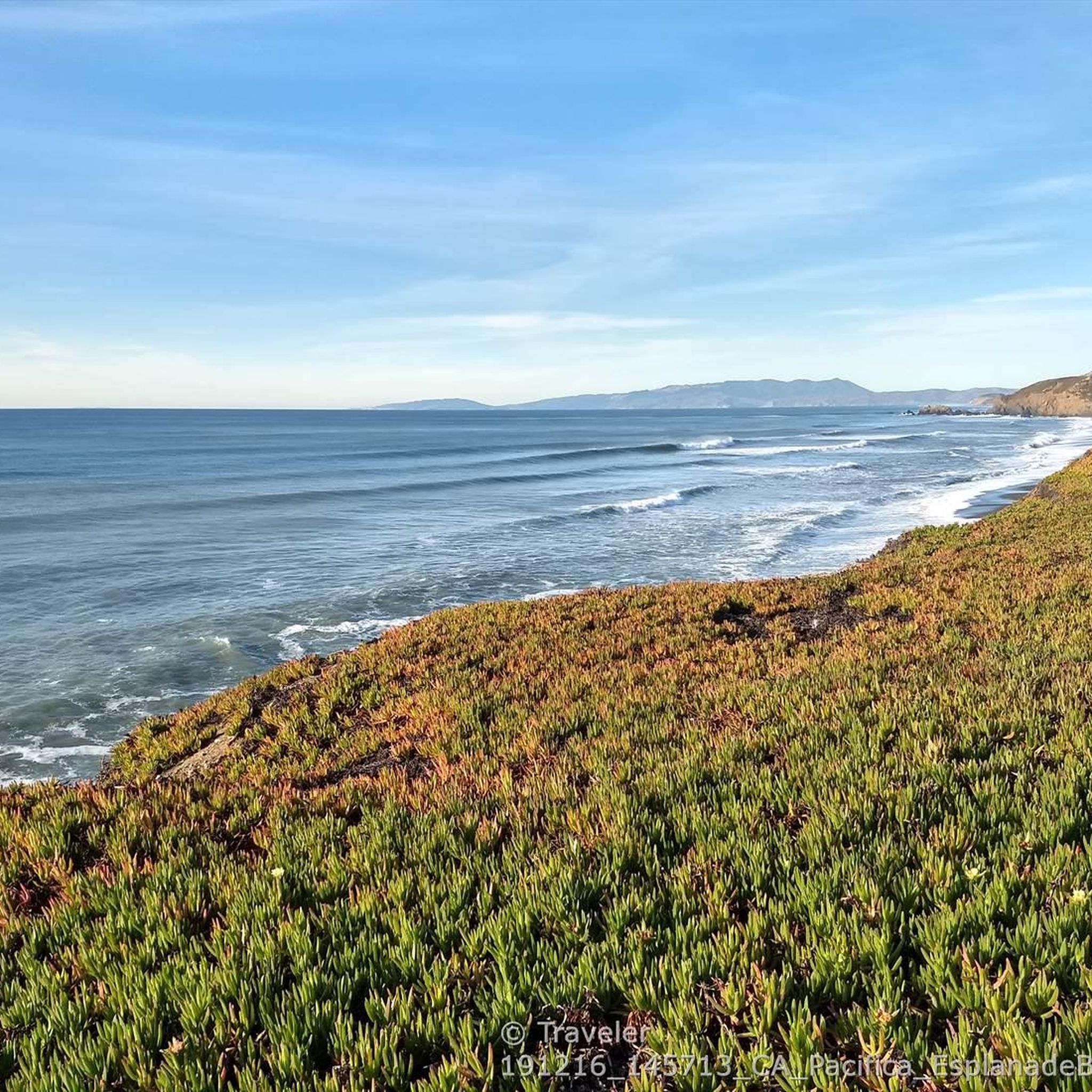
Funny juxtaposition: This high point in the road comes with several bioscience firms on one side, and horses grazing in pasture on the other. You get a nice peek-a-boo view of the water, too.
0
0
This 2,400-acre park stands as an oasis of open space, right on the fringes of San Francisco. The highest point of the ridge is just over 1,300 feet (almost 400 meters) in elevation, and the views are great!
2
2

Experience the breathtaking Montara North Peak West Summit, featuring panoramic views of the Pacific coast and the state park.
0
0

Stunning views up and down the Pacific coast and the entire state park. The best is from this secondary summit, a few steps further west of the main peak
0
0
San Bruno Mountain Park is adjacent to the southern boundary between San Francisco and northern San Mateo County, and borders the cities of Brisbane, South San Francisco, Colma and Daly City -- a unique open-space island in the midst of the peninsula's urbanization at the northern end of the Santa Cruz Mountain Range. The Mountain's ridge line runs in an east-west configuration, with considerable slopes and elevations ranging from 250 feet to 1,314 feet at the summit. The 2,416 acres of rugged landscape offer excellent hiking opportunities and outstanding views of San Francisco and the Central Bay Area. https://parks.smcgov.org/san-bruno-mountain-state-county-park The trailheads at the summit offer restrooms, picnic tables, drinking water fountains, and trail maps.
0
0
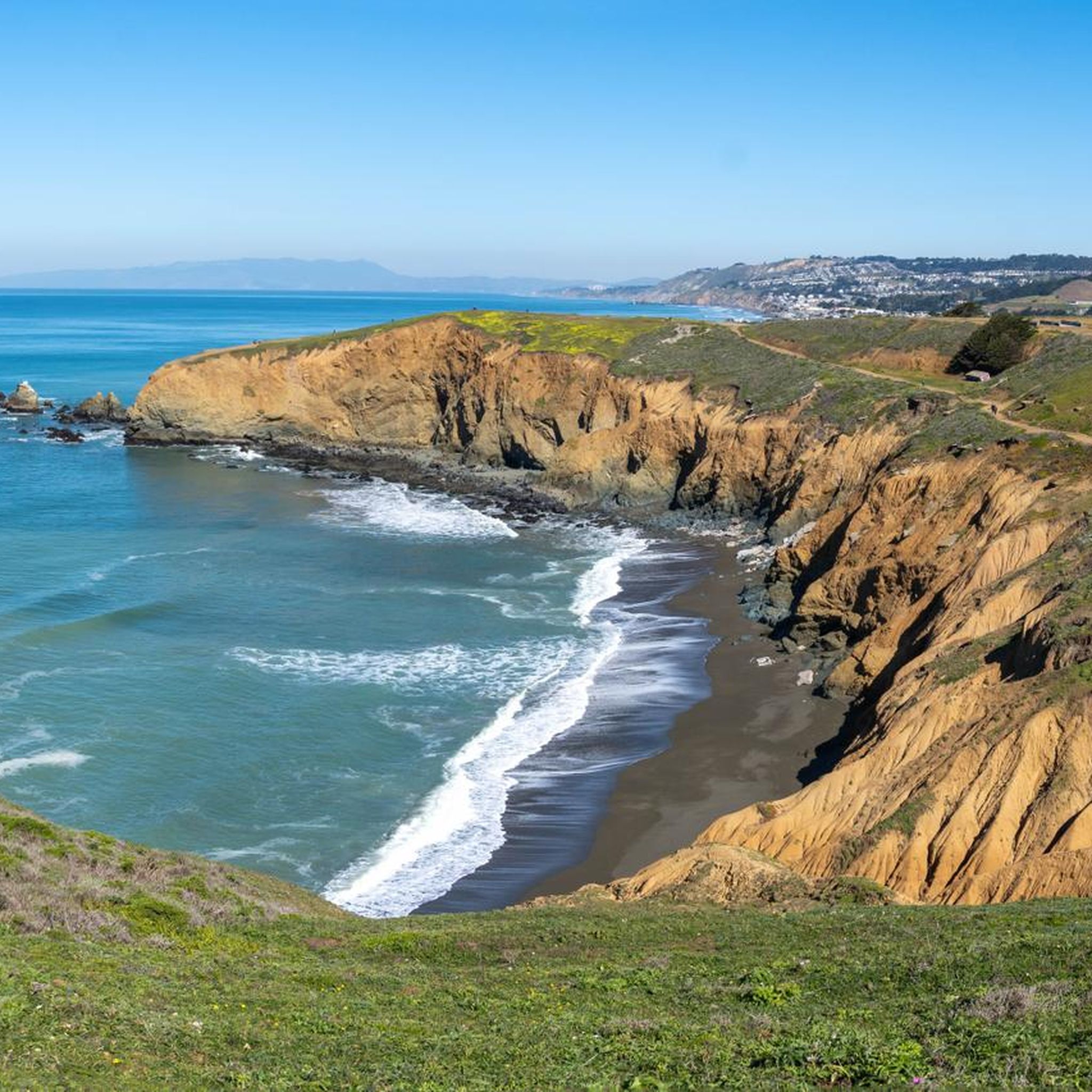
The remaining walls of old defensive structures near the summit of Mori Point are a display of colorful and often creative spray paintings.
0
0
San Bruno Mountain Park is located in northern San Mateo County, California, adjacent to the southern boundary of San Francisco and borders the cities of Brisbane, South San Francisco, Colma and Daly City -- a unique open-space island in the midst of the peninsula's urbanization at the northern end of the Santa Cruz Mountain Range. The Mountain's ridge line runs in an east-west configuration, with considerable slopes and elevations ranging from 250 feet to 1,314 feet at the summit. The 2,416 acres of rugged landscape offer excellent hiking opportunities and outstanding views of San Francisco and Central Bay Area. http://parks.smcgov.org/san-bruno-mountain-state-county-park
3
1
around Pacifica에서 가장 인기 있는 명소


더 살펴보기
이 가이드를 통해 around Pacifica의 더 놀라운 정상들을 확인해보세요:
