Berkeley 최고의 사이클링 경로
4.6
(132)
2,280
자전거 타는 사람
75
라이딩
Berkeley 최고의 사이클링 경로를 찾으시나요? Berkeley에서 가장 멋진 자전거 라이딩 장소를 살펴본 후에 바로 떠나보세요. 여기서 마음에 드는 경로만 고르시면 돼요!
마지막 업데이트: 9월 14, 2026
4.9
(25)
173
자전거 타는 사람
28.6km
02:04
560m
530m
This difficult 17.7-mile touring cycling route offers challenging climbs, rewarding descents, and panoramic views of the San Francisco Bay.
4.6
(8)
175
자전거 타는 사람
53.7km
04:01
1,170m
1,170m
This difficult 33.4-mile touring cycling loop around Briones and San Pablo Reservoirs offers challenging climbs and panoramic views.

5.0
(9)
146
자전거 타는 사람
23.7km
01:44
520m
520m
Cycle a difficult 14.7-mile loop from Ashby Station to Grizzly Peak Blvd for panoramic Bay Area views and a challenging climb.
3.3
(3)
39
자전거 타는 사람
35.7km
02:53
740m
740m
Cycle the East Bay Skyline Trail Loop, a difficult 22.2-mile route with 2431 feet of gain and panoramic Bay Area views.
31
자전거 타는 사람
37.1km
02:51
930m
930m
Challenge yourself on the Grizzly Peak Loop, a difficult 23.0-mile touring cycling route with 3061 feet of elevation gain and stunning Bay A
더 다양한 경로와 다른 탐험가들의 추천을 살펴보세요.
이미 komoot 계정이 있나요?
투어 추천은 다른 사람들이 komoot에서 완료한 수천 개의 활동을 바탕으로 구성되어 있습니다.
오늘 무료 계정으로 시작하세요
다음 모험이 기다리고 있어요.
커뮤니티 팁

Patio boats, motor boats, and row boats are available for rent daily (no kayaks). The aluminum fishing boats come equipped with a four stroke motor, which is ideal for fishing and cruising the waters of the reservoir. All rental boats must be returned and checked in 1 hour prior to park closure. Visit Rocky Mountain Recreation https://rockymountainrec.com or call 510-223-1661 for prices and additional information
0
0

The Tilden Steam Train is a 15 in gauge miniature railway at Tilden Regional Park. It offers visitors a ride along a ridge through the park, and gives you amazing views of the nearby valley and mountains.
0
0

The crumbling asphalt of the old road is still bikeable and it's great to enjoy the excellent views without any car traffic. Every few hundred yards are restrooms and short trails down to the lake shore.
0
0
Just below the massive earthen dam, there is a good viewpoint to appreciate the height of the structure that has recently undergone seismic safety upgrades. The Bay Area Ridge Trail swings by the dam crest after a few hundred yards but for hikers only.
0
0

Tunnel Road and Skyline Boulevard to Grizzly Peak Boulevard are in an area that is popular with bikers. This hill has an average grade of 4.3%, a steady climb. Bikers enjoy windy roads and views of homes and Bay Area architecture.
0
0
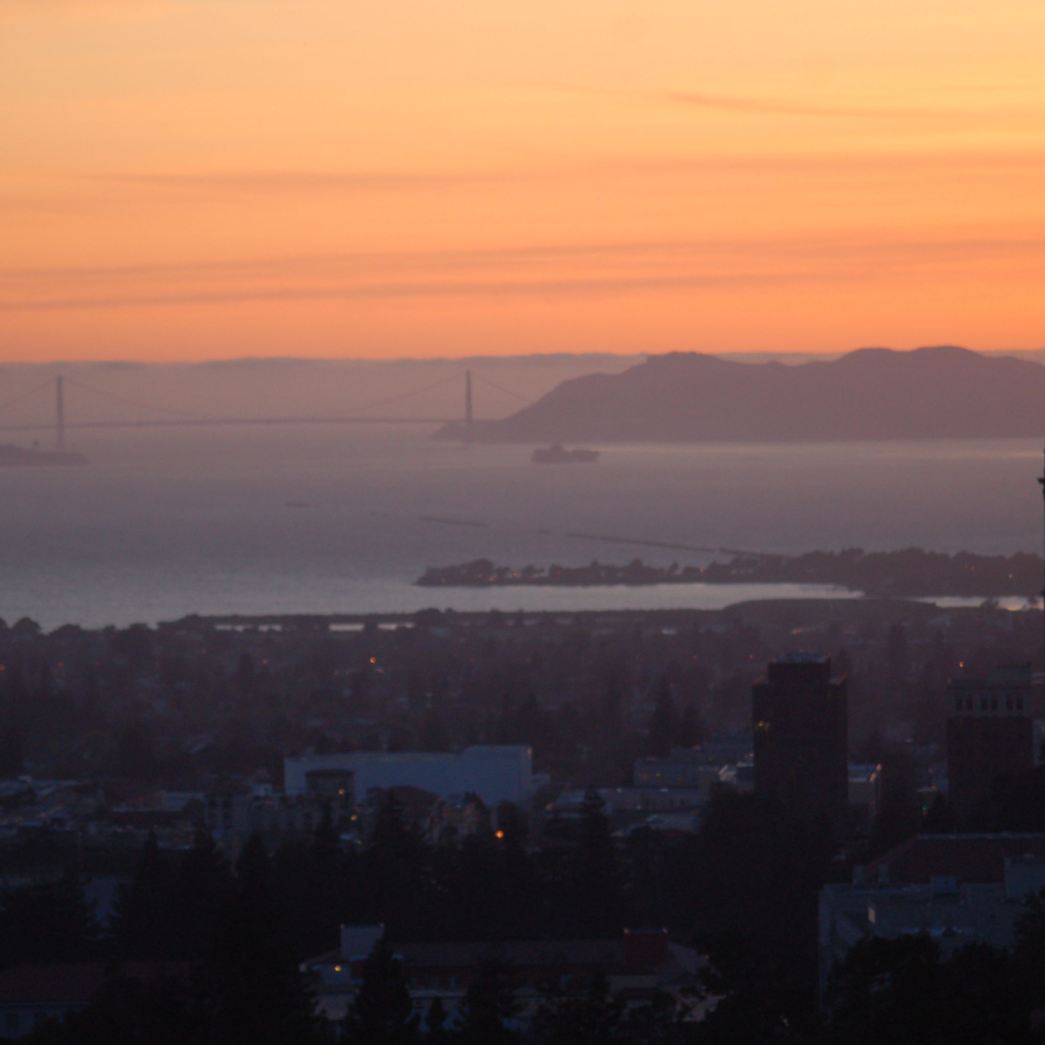
With rolling climbs up and down, this area is wooded, paved, and often foggy. When the fog breaks, enjoy photo opportunities of the Bay Area.
0
0
around Berkeley에서 가장 인기 있는 명소


더 살펴보기
다른 지역의 최고의 자전거 경로를 살펴보세요.
