턱서 알프스 최고의 라이딩 경로
4.5
(311)
8,096
자전거 타는 사람
66
라이딩
턱서 알프스에서 하이킹하며 인스부르크 구석 부분까지 살펴볼까요? 턱서 알프스에 있는 모든 하이킹 및 워킹 경로 컬렉션 중 가장 멋진 하이킹 경로를 엄선하여 소개해드릴게요. 다른 하이커가 공유한 실제 팁과 사진을 살펴보고 후기를 읽으며 마음에 드는 턱서 알프스 워킹 경로를 찾아보세요.
마지막 업데이트: 10월 9, 2026
4.5
(63)
1,444
자전거 타는 사람
64.0km
02:46
360m
360m
보통 도로 자전거 타기. 좋은 체력 필요. 지면 대부분이 잘 포장되어 있고 라이딩하기 쉬움.
4.4
(17)
525
자전거 타는 사람
35.1km
01:54
720m
720m
보통 도로 자전거 타기. 좋은 체력 필요. 지면 대부분이 잘 포장되어 있고 라이딩하기 쉬움.

4.9
(20)
523
자전거 타는 사람
46.4km
02:50
920m
920m
어려운 도로 자전거 타기. 우수한 체력 필요. 지면 대부분이 잘 포장되어 있고 라이딩하기 쉬움.
4.4
(9)
367
자전거 타는 사람
87.3km
04:58
1,970m
1,970m
어려운 도로 자전거 타기. 우수한 체력 필요. 지면 대부분이 잘 포장되어 있고 라이딩하기 쉬움.
4.7
(9)
442
자전거 타는 사람
64.8km
03:32
1,190m
1,190m
어려운 도로 자전거 타기. 우수한 체력 필요. 투어 중 라이딩하기 어려운 비포장 구간이 있을 수 있음.
4.7
(11)
262
자전거 타는 사람
59.3km
04:36
2,270m
2,270m
어려운 도로 자전거 타기. 우수한 체력 필요. 지면 대부분이 잘 포장되어 있고 라이딩하기 쉬움.
4.5
(44)
515
자전거 타는 사람
51.6km
02:00
100m
100m
초급용 로드 라이딩. 모든 체력 수준에 적합. 지면 대부분이 잘 포장되어 있고 라이딩하기 쉬움.
5.0
(10)
296
자전거 타는 사람
83.9km
04:50
1,550m
1,550m
어려운 도로 자전거 타기. 우수한 체력 필요. 지면 대부분이 잘 포장되어 있고 라이딩하기 쉬움.
4.9
(12)
273
자전거 타는 사람
92.8km
05:16
2,030m
2,030m
어려운 도로 자전거 타기. 우수한 체력 필요. 지면 대부분이 잘 포장되어 있고 라이딩하기 쉬움.
4.7
(10)
403
자전거 타는 사람
70.6km
03:42
1,270m
1,270m
어려운 도로 자전거 타기. 우수한 체력 필요. 지면 대부분이 잘 포장되어 있고 라이딩하기 쉬움.
더 다양한 경로와 다른 탐험가들의 추천을 살펴보세요.
이미 komoot 계정이 있나요?
투어 추천은 다른 사람들이 komoot에서 완료한 수천 개의 활동을 바탕으로 구성되어 있습니다.
오늘 무료 계정으로 시작하세요
다음 모험이 기다리고 있어요.
턱서 알프스 주변 인기 장소
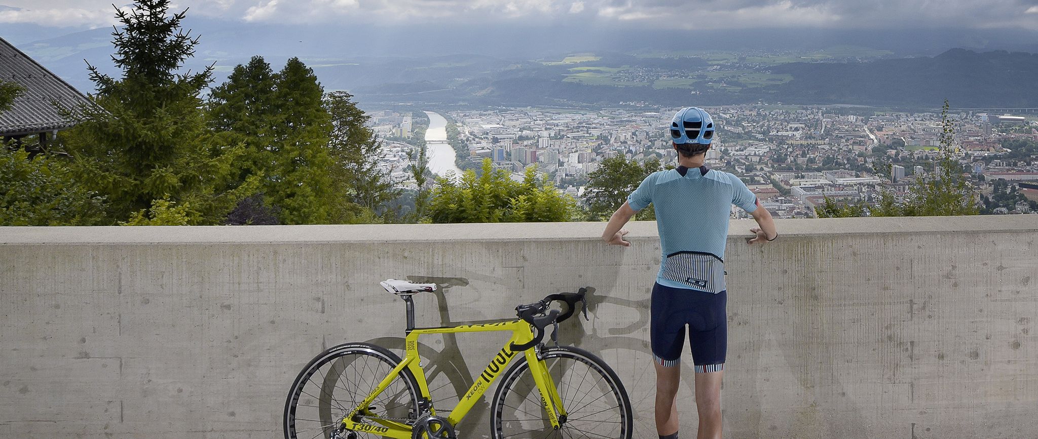
Innsbruck: The host city of the 2018 Road World Championships
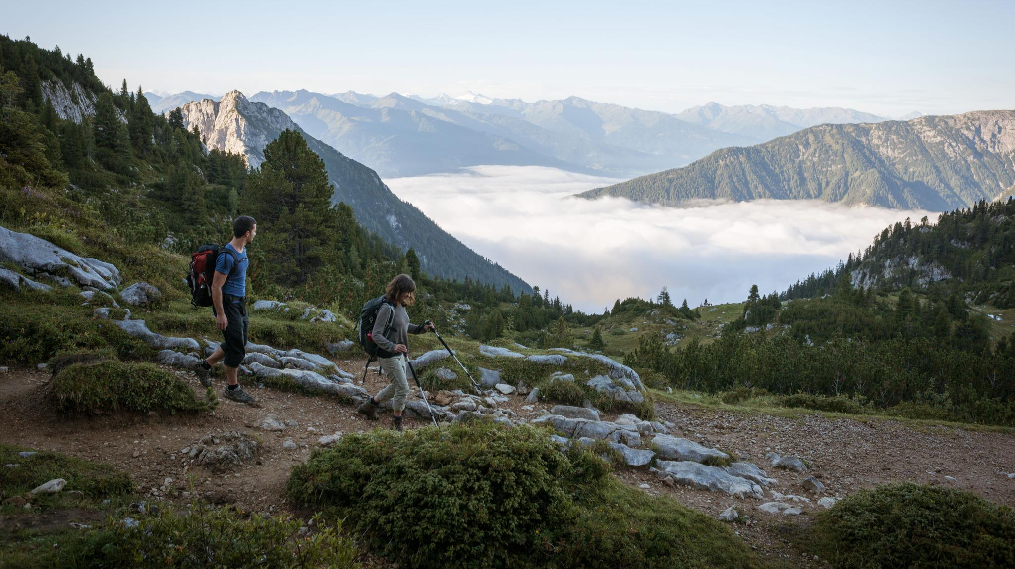
웅장한 독수리 산책로를 따라 하이킹 — 위대한 산책

벤에치아 알피나 – 알프스를 통해 아드리아해안까지
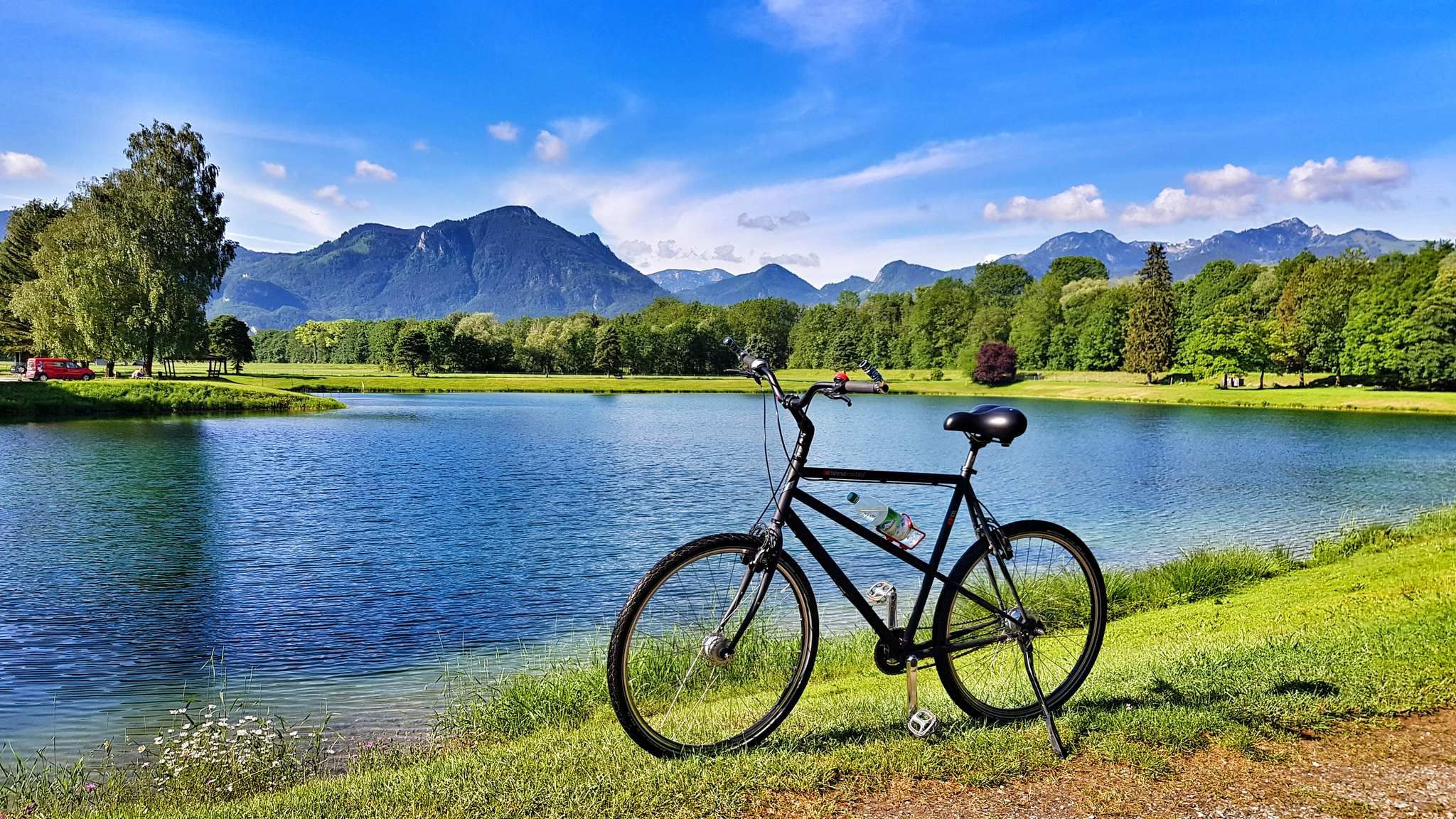
흐르는 시냇물에서 거대한 강으로 - 인 사이클 경로
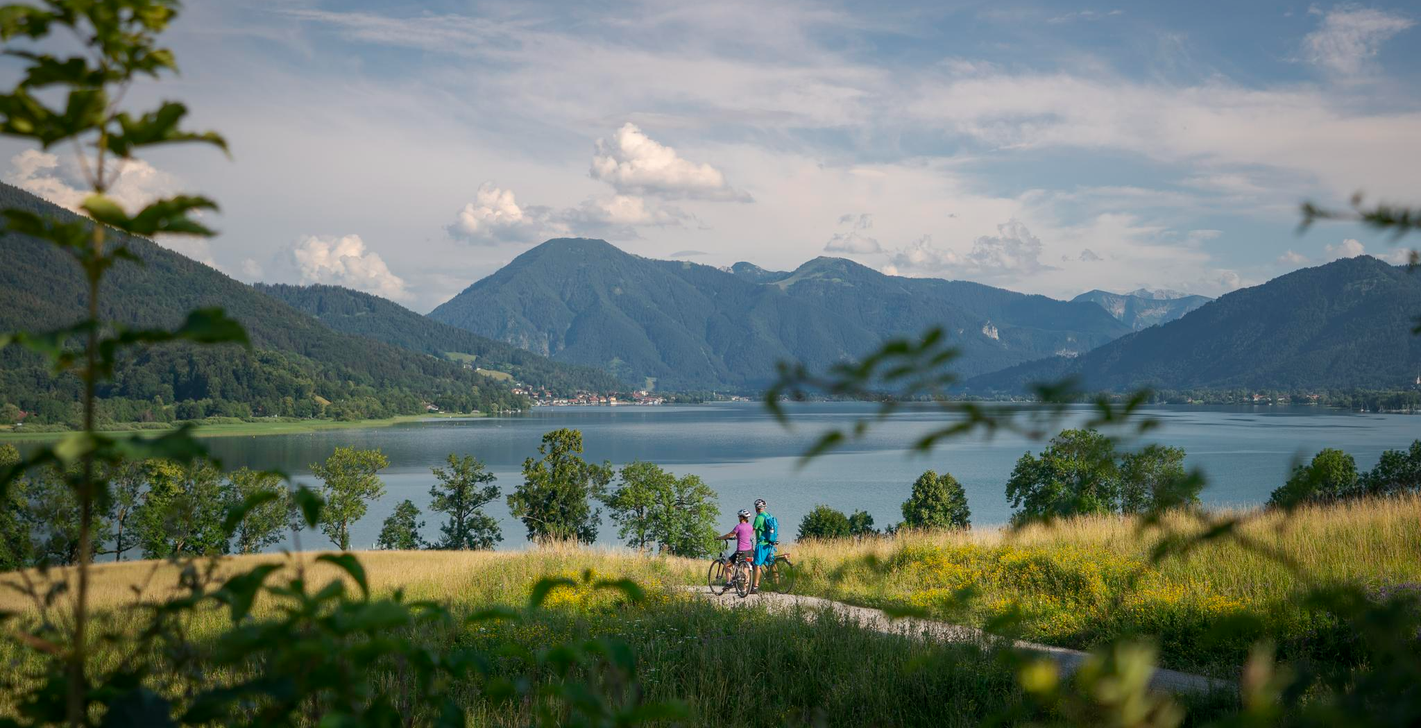
아름다운 알프스 횡단 - 뮌헨-베니스 장거리 사이클 경로
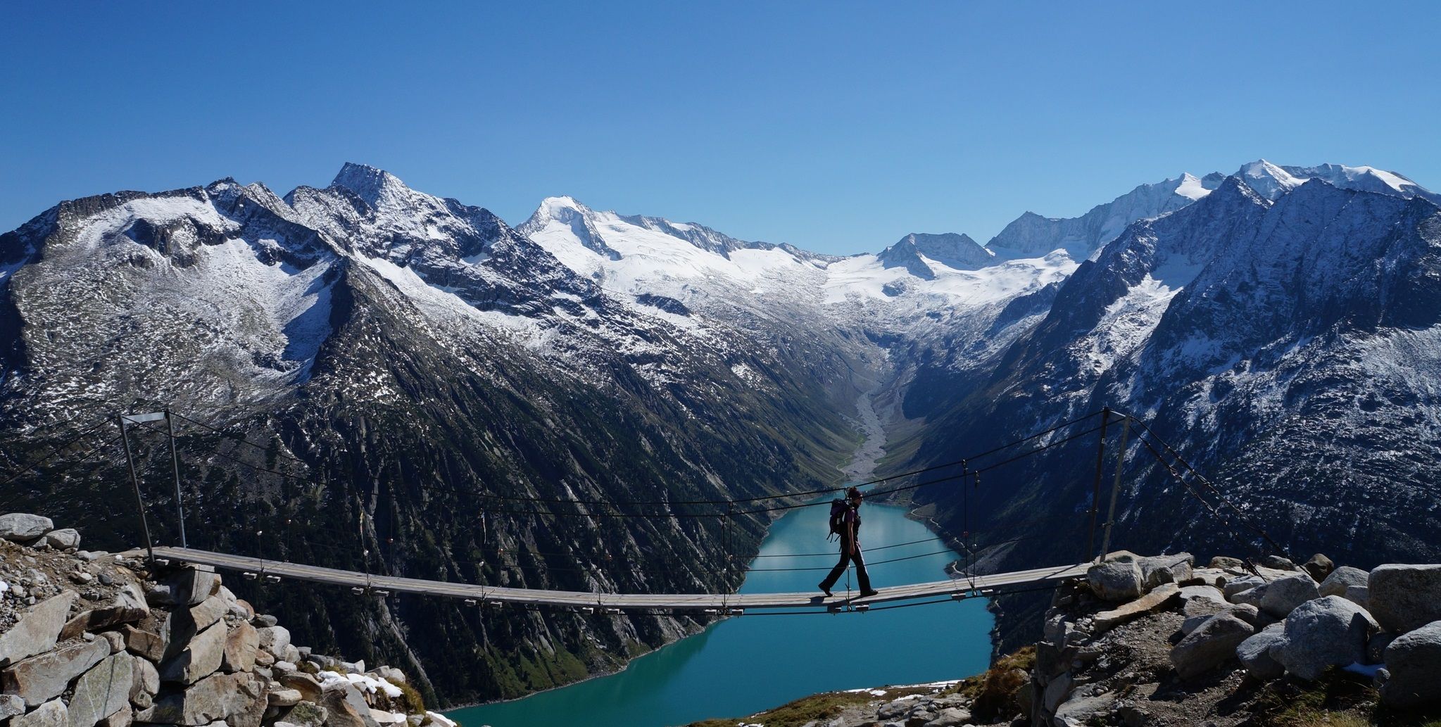
피터 하벨러 루프 - 올페레르 주변의 알프스 트레일
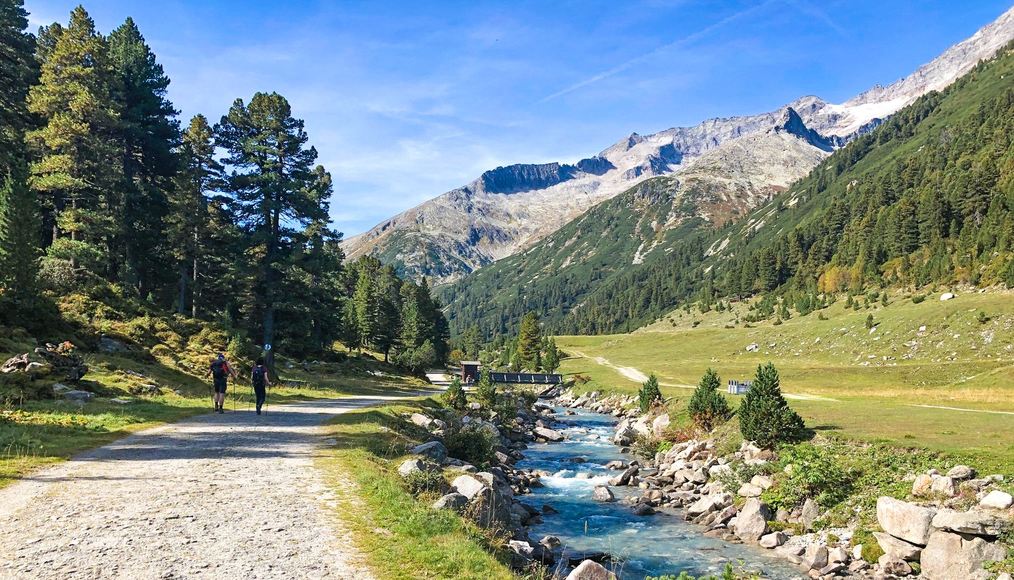
즐거운 등산로 – 테거른젤레 호수에서 스터친으로 7단계

뮌헨에서 베니스까지 28단계로 구성된 "꿈의 길" 하이킹 트레일
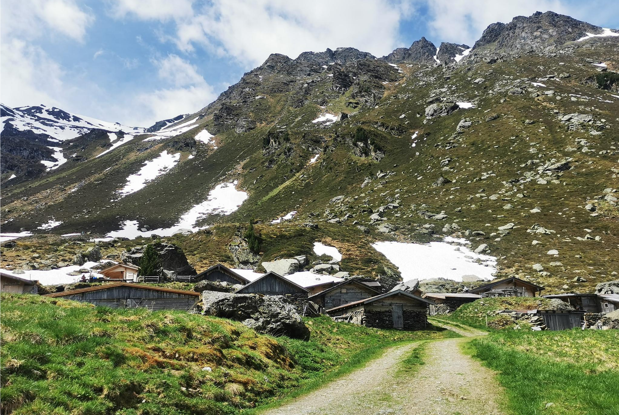
From Alm to Alm – superb hikes in the Hall-Wattens Region
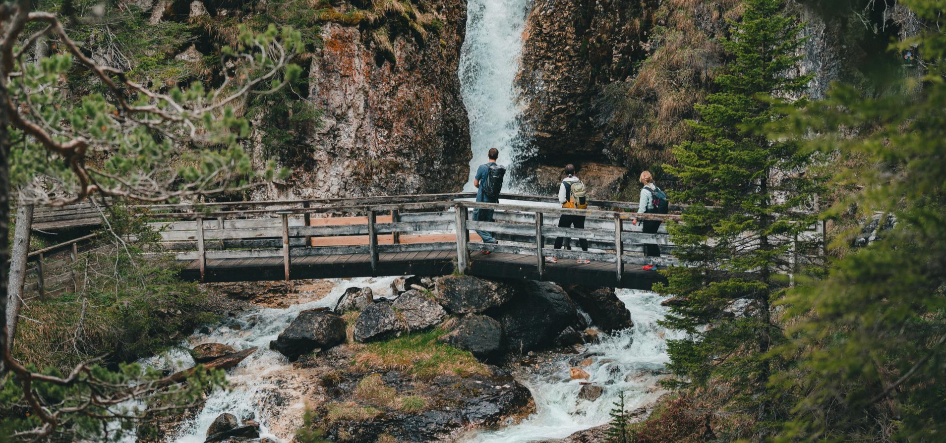
Idyllic mountain lakes and rushing waterfalls – hiking in the Wipptal
턱서 알프스의 다른 모험


커뮤니티 팁

The bridge over the Ziller river is interesting in several ways: it is a junction for the Innsbruck-Kufstein and Zillertal cycle paths towards Mayrhofen, it is the border between the districts of Schwaz and Kufstein, and it is part of the Kerschbaumer-Sattel cycle route.
1
0

브레너에서 슈テル칭까지의 최고 하산
0
0


The Zillertal Railway bridge also crosses the river, and the cycle path is a small gem of old railway engineering. Caution cyclists: Heading into the valley, the cycle path makes a 90° turn to the left directly at the end of the bridge, then immediately turns sharply and steeply 180° to continue under the bridge and further into the valley. So brake in time!
2
0

Highest point of the pass road. From here it's all downhill!
1
0


더 살펴보기
다른 지역의 최고의 로드 사이클링 경로를 살펴보세요.
