담 니르스코 최고의 사이클링 경로
4.3
(65)
381
자전거 타는 사람
35
라이딩
담 니르스코에 자전거 라이딩을 할 수 있는 경로는 많은데, 어디서 출발해야 할지 모르시겠다고요? 아름다운 호수를 구경할 수 있도록 가장 멋진 경로를 알려드릴게요. 망설이지 말고, 마음에 드는 담 니르스코 사이클링 경로를 아래에서 찾아보세요.
마지막 업데이트: 8월 29, 2026
5.0
(1)
3
자전거 타는 사람
10.9km
00:42
120m
120m
초급용 자전거 라이딩. 모든 체력 수준에 적합. 대부분 포장된 지면. 실력과 관계없이 누구나 갈 수 있음.
5.0
(3)
24
자전거 타는 사람
19.6km
01:30
550m
550m
어려운 자전거 타기. 우수한 체력 필요. 대부분 포장된 지면. 실력과 관계없이 누구나 갈 수 있음.

무료 회원 가입
5.0
(2)
10
자전거 타는 사람
22.9km
01:27
230m
230m
보통 자전거 타기. 좋은 체력 필요. 대부분 포장된 지면. 실력과 관계없이 누구나 갈 수 있음.
4
자전거 타는 사람
48.2km
03:16
710m
710m
어려운 자전거 타기. 우수한 체력 필요. 대부분 포장된 지면. 실력과 관계없이 누구나 갈 수 있음.
4.0
(2)
10
자전거 타는 사람
37.5km
02:45
790m
790m
어려운 자전거 타기. 우수한 체력 필요. 대부분 포장된 지면. 실력과 관계없이 누구나 갈 수 있음.
더 다양한 경로와 다른 탐험가들의 추천을 살펴보세요.
무료 회원 가입
이미 komoot 계정이 있나요?
투어 추천은 다른 사람들이 komoot에서 완료한 수천 개의 활동을 바탕으로 구성되어 있습니다.
오늘 무료 계정으로 시작하세요
다음 모험이 기다리고 있어요.
로그인 또는 가입하기

커뮤니티 팁

A very nice beer garden belonging to the "Zur Linde" hotel and inn. There are plenty of shady and sunny spots. Barbecues are sometimes held here. Very friendly service!
0
0

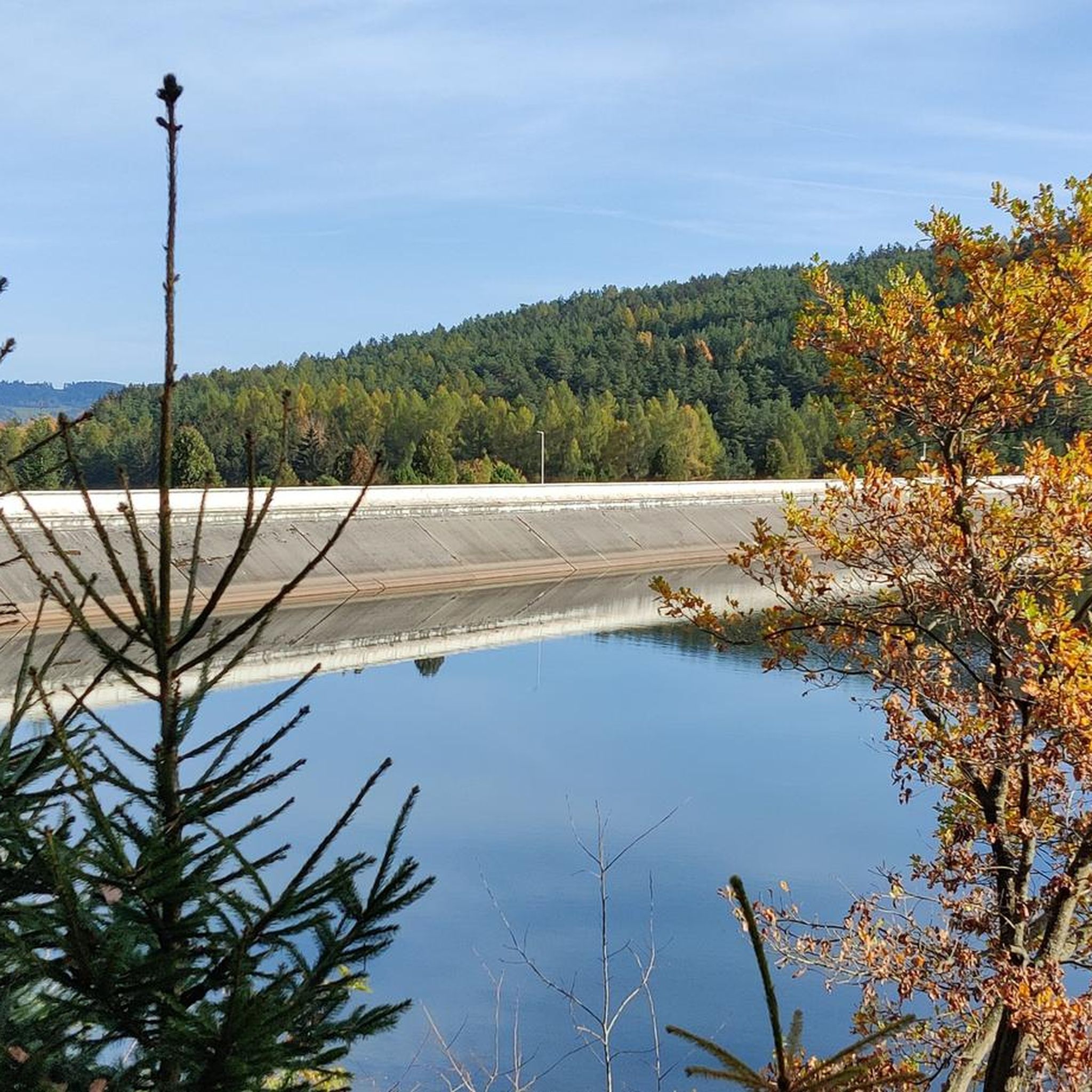
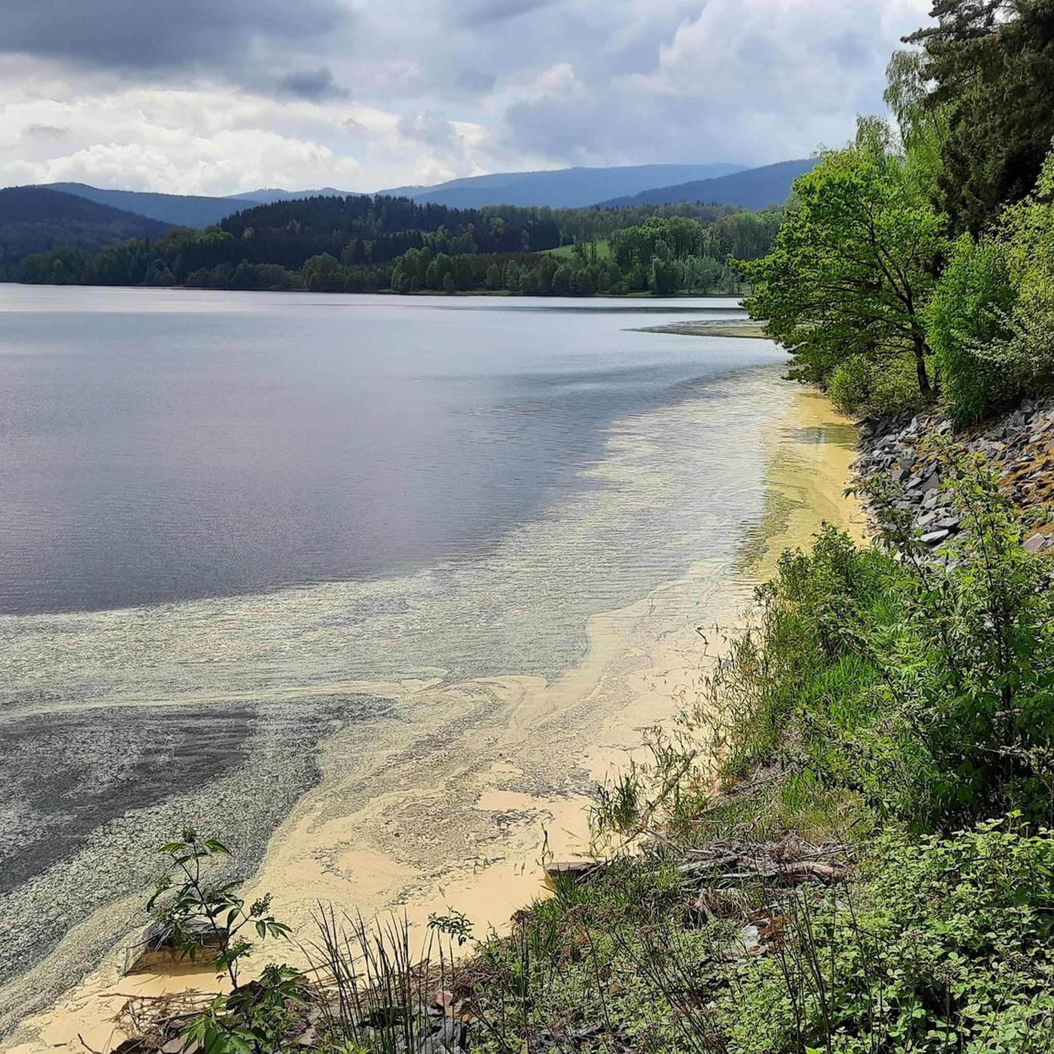
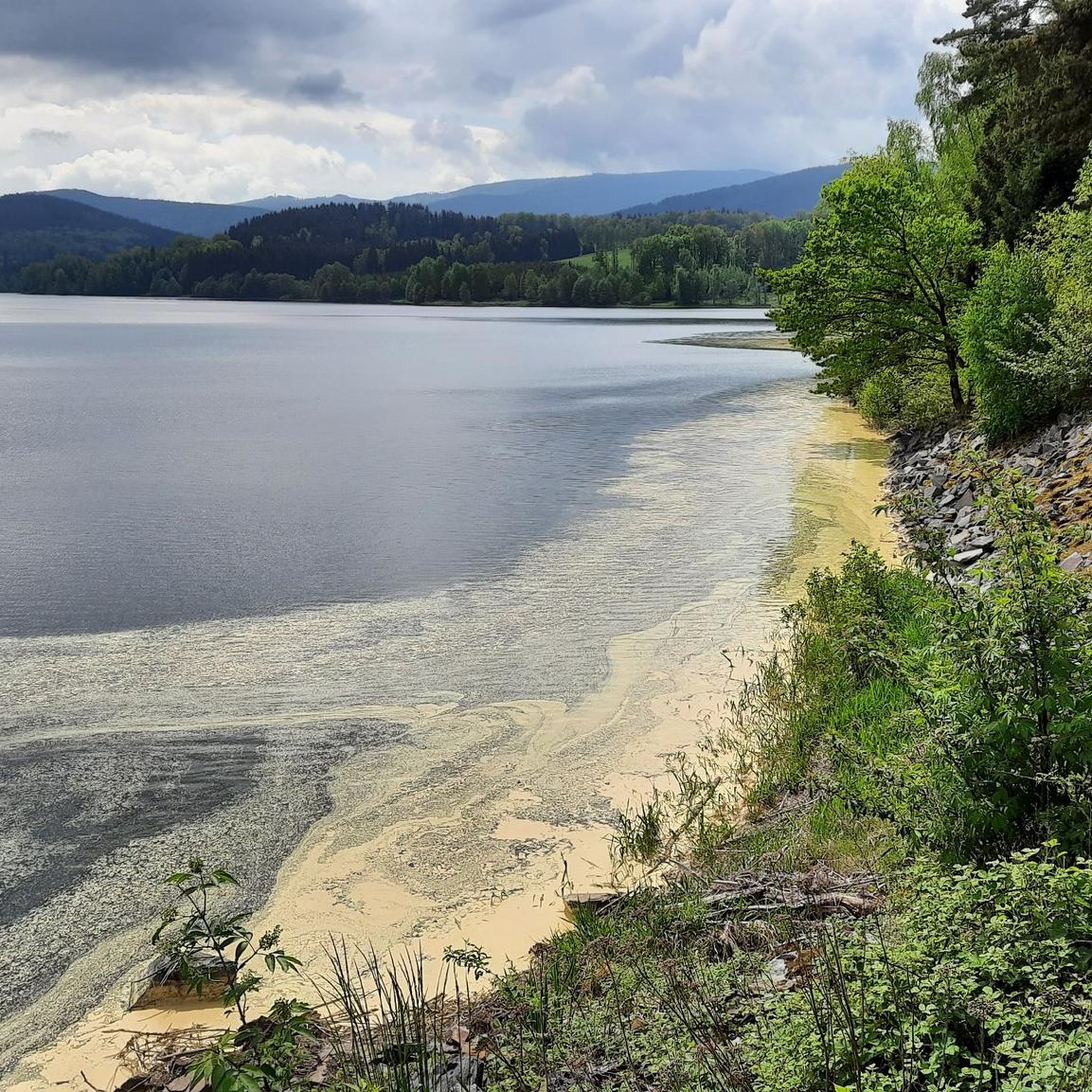
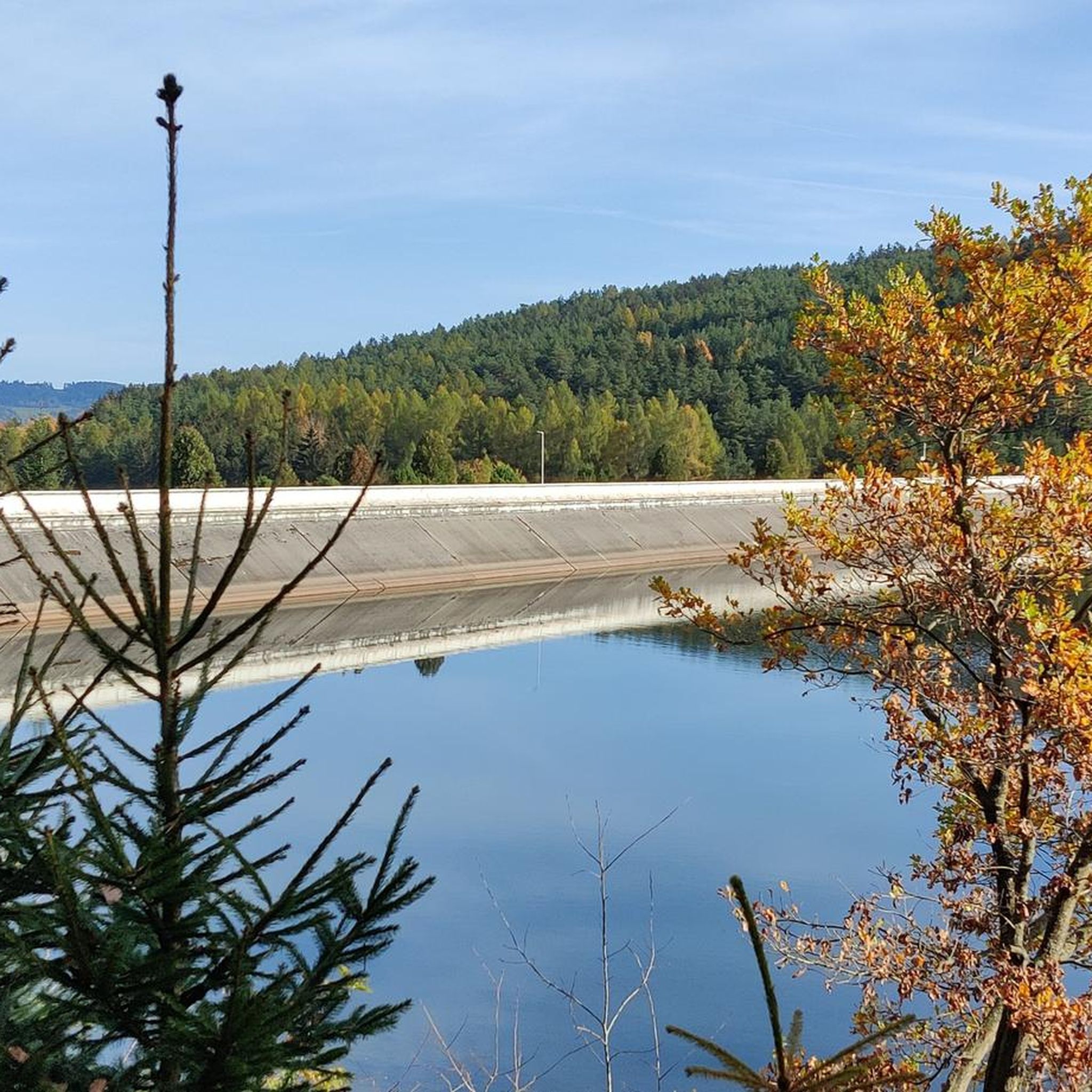
이 댐은 1969년 Úhlava/Angel 계곡을 채워 건설되었습니다. 돌 댐은 높이 36m, 너비 337m입니다. 저수지의 용량은 100만 m3입니다. 머물기 좋은 곳입니다.
4
0

The Nýrsko Dam (Czech: Vodní nádrž Nýrsko) is a drinking water dam on the Úhlava in the Czech Republic. It is located three kilometers south of Nýrsko in the Klatovy District. The place is ideal for a short rest.
3
0
The reservoir is located not far from Nýrsko and was created in 1969 by flooding the Uhlavské udoli valley. The dam is 36 m high and 337 m wide. The water volume is 1 million m3. The reservoir serves as a drinking water reservoir for Klatovy, Domazlice and Plzen. A yellow-marked hiking trail leads over the dam and around the western shore of the reservoir. Due to the protection of drinking water, the movement of visitors around the reservoir is very limited. It is not permitted to leave the marked trails. Location: 4 km south of Nýrsko, on the right of the Nýrsko – Železná Ruda road.
4
0

Good view from the dam. The cycle path goes directly above it.
0
0
Beautiful lake in a magnificent hilly and mountainous landscape. You can see it very well from the cycle path. The path later leads directly over the dam.
2
0

The municipality of Hamry (German: Hammern) is located in the western part of the Bohemian Forest between the Královský hvozd massif and the Můstek and Prenet ridges along the Úhlava river at an altitude of 582 meters above sea level. The municipality of Hamry is located 10 km southeast of the town of Nýrsko and 15 km northwest of Železná Ruda. The location of the municipality extends from 530 m above sea level in the valley of the Úhlava river up to 1220 m on the Královský hvozd ridge and even further up to 1293 m on the peak of the highest mountain, Osser.
0
0


더 살펴보기
다른 지역의 최고의 자전거 경로를 살펴보세요.
