디케부스 비베르 최고의 사이클링 경로
4.5
(1107)
13,949
자전거 타는 사람
442
라이딩
디케부스 비베르에 자전거 라이딩을 할 수 있는 경로는 많은데, 어디서 출발해야 할지 모르시겠다고요? 아름다운 호수를 구경할 수 있도록 가장 멋진 경로를 알려드릴게요. 망설이지 말고, 마음에 드는 디케부스 비베르 사이클링 경로를 아래에서 찾아보세요.
마지막 업데이트: 10월 18, 2026
7
자전거 타는 사람
17.1km
01:03
60m
60m
초급용 자전거 라이딩. 모든 체력 수준에 적합. 대부분 포장된 지면. 실력과 관계없이 누구나 갈 수 있음.
5
자전거 타는 사람
18.7km
01:05
70m
80m
초급용 자전거 라이딩. 모든 체력 수준에 적합. 대부분 포장된 지면. 실력과 관계없이 누구나 갈 수 있음.

2
자전거 타는 사람
17.4km
01:09
100m
100m
초급용 자전거 라이딩. 모든 체력 수준에 적합. 대부분 포장된 지면. 실력과 관계없이 누구나 갈 수 있음.
5
자전거 타는 사람
59.0km
03:29
240m
240m
보통 자전거 타기. 좋은 체력 필요. 대부분 포장된 지면. 실력과 관계없이 누구나 갈 수 있음.
5
자전거 타는 사람
11.8km
00:41
30m
30m
초급용 자전거 라이딩. 모든 체력 수준에 적합. 대부분 포장된 지면. 실력과 관계없이 누구나 갈 수 있음.
더 다양한 경로와 다른 탐험가들의 추천을 살펴보세요.
이미 komoot 계정이 있나요?
투어 추천은 다른 사람들이 komoot에서 완료한 수천 개의 활동을 바탕으로 구성되어 있습니다.
오늘 무료 계정으로 시작하세요
다음 모험이 기다리고 있어요.

커뮤니티 팁

So that every visitor becomes aware of the horror and hell of war in the past. That humanity learns nothing by slaughtering each other for nothing. But we are led by idiots and power-hungry people!!
0
0

asphalt cycle path.
0
0

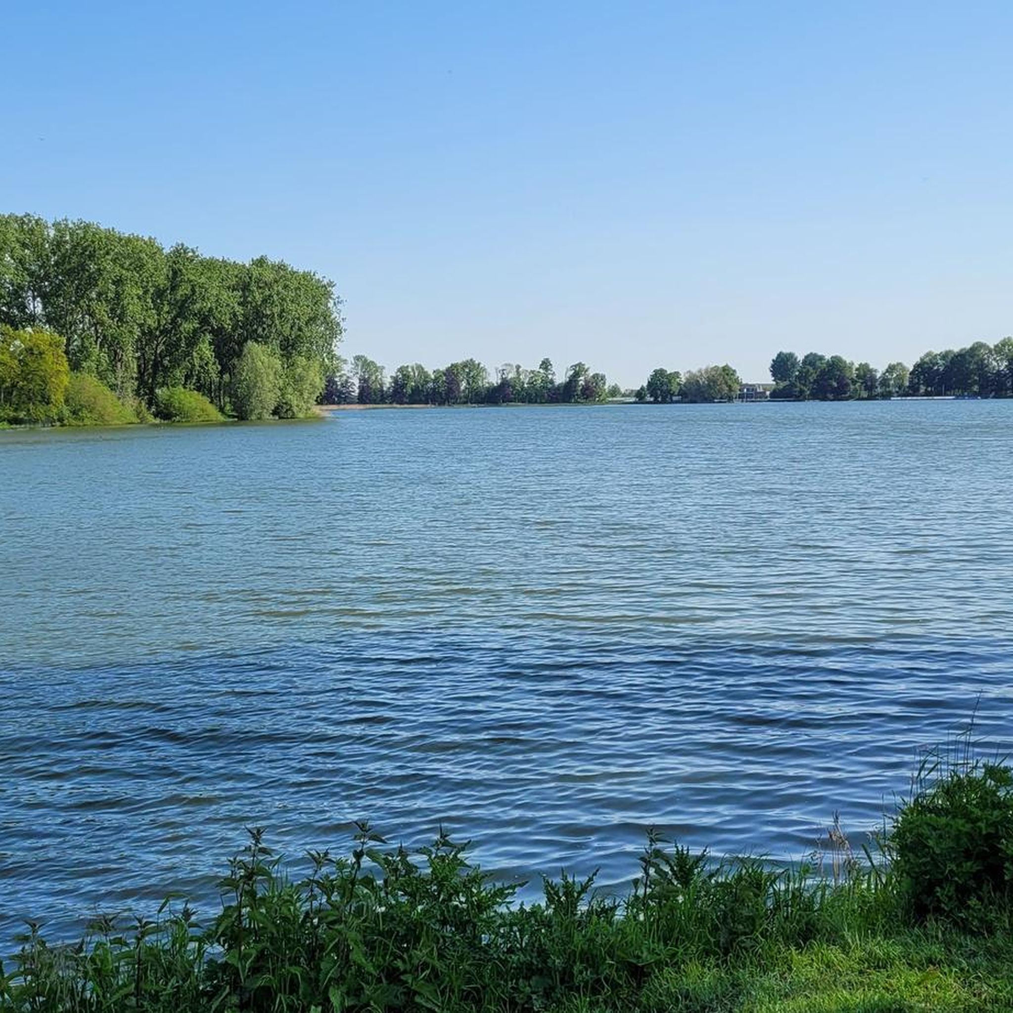
On July 23, 1310, the City of Ypres received permission from the Count of Flanders to dig the pond, which, next to the Zillebeke Pond, was intended to ensure sufficient water in the city for fulling and dyeing cloth. The pond was created by damming the Kemmelbeek stream and was excavated on land belonging to the parishes of Vlamertinge, Dikkebus, and Voormezele. The expropriation of the necessary land was arranged by the City of Ypres and took about ten years. The thirty-six-hectare pond was not completed until around 1323.[1] The pond provided and still provides Ypres with drinking water, initially via the Ypres canals and later through a system of oak pipes. Since 1926, this has been done via a modern pumping station. The Zillebeke Pond and Bellewaarde Pond were also created in this way. https://nl.wikipedia.org/wiki/Dikkebusvijver
3
0

Dikkebusvijver is a historic pond near the village of Dikkebus, south of Ypres. The pond was dug on 23 July 1310 with permission from the Count of Flanders to ensure sufficient water for the cloth industry in Ypres. The pond was created by damming the Kemmelbeek and has a surface area of 36 hectares.
8
0
Hill 62, also known as Sanctuary Wood, is home to the Canadian Hill 62 Memorial, which commemorates the actions of the Canadian Corps in the defence of the southern sector of the Ypres Salient between April and August 1916. This memorial marks the first time that Canadian divisions were involved in planned offensive operations during the war.
8
0

Beautiful Ravel Trail along the canal connecting Ypres to Comines. Natura 2000 site!
1
0
An interesting anecdote concerns the explosion of one of the mines on 17 July 1955 by lightning. This mine had not been detonated during the war and was still underground. The explosion created a new crater and reminded the local population of the lasting impact of the war.
7
0
디케부스 비베르 주변에서 가장 인기 있는 명소


더 살펴보기
다른 지역의 최고의 자전거 경로를 살펴보세요.
