4.5
(237)
11,549
자전거 타는 사람
1,080
라이딩
카운티 더럼에서 하이킹하며 잉글랜드 북동부 구석 부분까지 살펴볼까요? 카운티 더럼에 있는 모든 하이킹 및 워킹 경로 컬렉션 중 가장 멋진 하이킹 경로를 엄선하여 소개해드릴게요. 다른 하이커가 공유한 실제 팁과 사진을 살펴보고 후기를 읽으며 마음에 드는 카운티 더럼 워킹 경로를 찾아보세요.
마지막 업데이트: 7월 7, 2026
4.5
(2)
94
자전거 타는 사람
139km
06:41
1,670m
1,670m
Embark on the Hartside Fell & Moor House Nature Reserve loop from Barnard Castle, a difficult road cycling adventure spanning 86.1 miles (138.5 km) with a significant 5483 feet (1671 metres) of elevation gain. This challenging route typically takes around 6 hours and 41 minutes to complete, demanding very good fitness. You will cycle through the River Tees valley's charming farmland before ascending into the rugged moorland of the North Pennines, where panoramic views from higher elevations like Hartside Pass await. While most surfaces are well-paved, be prepared for some unpaved segments that might require you to push your bike.
This popular loop is a hard road ride, so ensure you have the necessary fitness and experience before setting out. The trail features sustained climbs, including the long, continuous Hartside Pass with an average gradient of about 5%. Descending can be speedy, and some areas have sharp bends, so exercise caution. Autumn offers particularly beautiful colors across the landscape, making it an ideal time to experience the trail's varied scenery.
This route stands out as the most popular road cycling trail starting from Barnard Castle, celebrated for its demanding nature and the remote, diverse landscapes it traverses. It offers a unique opportunity to explore significant parts of the North Pennines Area of Outstanding Natural Beauty. The Moor House Nature Reserve, a key feature, showcases a wide array of upland habitats, including hay meadows, juniper woods, limestone grasslands, and blanket bog, providing a deeply immersive cycling experience through a beautiful and historically rich region.
5.0
(1)
32
자전거 타는 사람
47.7km
02:48
910m
910m
Embark on a difficult racebike journey through the North Pennines, where open moorland meets the winding River Wear valley. This challenging route spans 29.7 miles (47.7 km) and demands a significant 2987 feet (910 metres) of elevation gain. You can expect to complete it in approximately 2 hours and 47 minutes. As you cycle, you'll encounter varied terrain and expansive views looking into Weardale, offering a true sense of the region's wild character. The atmosphere is one of rugged beauty, perfect for a demanding ride.
This is a hard road ride designed for reasonably fit cyclists who are accustomed to challenging ascents. It is not recommended for children due to the significant climbs, with some gradients reaching up to 25%. Plan your start time carefully to allow for the full duration. You will find amenities like cafes and pubs in Middleton-in-Teesdale, Stanhope, and St. John's Chapel, which are good spots for a break.
Beyond the physical challenge, this route offers a glimpse into the region's past. You will pass by sites that were once active in historical lead mining, adding a layer of heritage to the natural landscape. The trail is set within the North Pennines National Landscape, an area known for its unique geology and diverse ecosystems. This makes the ride more than just a workout; it's an exploration of a distinctive part of England.

무료 회원 가입
4.0
(1)
5
자전거 타는 사람
75.8km
03:37
640m
640m
Embark on a moderate road cycling adventure with the Seaham, Sunderland & Stanley loop from Durham. This 47.1-mile (75.8 km) route, which you can complete in about 3 hours and 37 minutes, offers a good workout with 2103 feet (641 metres) of elevation gain. You'll find mostly well-paved surfaces, primarily asphalt and paved sections, making for a smooth ride. Expect a mix of scenery, from coastal views near Seaham to passing Sunderland's notable bridge. The trail is designed for road cyclists seeking a rewarding day trip.
This loop is categorized as moderate, meaning it requires a reasonable level of fitness due to its distance and elevation changes. The predominantly well-paved surfaces ensure good rideability, though the elevation gain indicates some challenging climbs. While specific details on disused railway paths for this exact loop are limited, the wider region does feature such gentle gradients on parts of the National Cycle Network. Plan your visit knowing you'll be on a route that combines urban, coastal, and semi-rural landscapes.
The Seaham, Sunderland & Stanley loop is recognized as one of the best road cycling routes around the City of Durham. Its appeal comes from offering a substantial distance with a balanced challenge, perfect if you want to test your fitness without overly technical terrain. The inclusion of sections near the coast, particularly around Seaham, adds to the experience, potentially offering refreshing sea air and scenic vistas as you ride.
5.0
(1)
20
자전거 타는 사람
55.3km
02:34
490m
490m
Embark on the Barnard Castle & Bishop Auckland loop for a moderate racebike ride through the picturesque Pennine countryside. This route covers 34.4 miles (55.3 km) and includes a total elevation gain of 1606 feet (489 metres), which you can typically complete in about 2 hours and 34 minutes. As you cycle, you will pass rolling pastures, traditional drystone walls, and scattered field barns, offering classic views of the moorland. A highlight of the journey is crossing the River Tees at Middleton-in-Teesdale, connecting you to charming villages and the historic Barnard Castle itself.
When planning your ride, expect mostly well-paved surfaces, though be aware that some sections of the route might be unpaved. You will find convenient opportunities to stop for refreshments at various pubs and cafes in the villages along the way. Consider places like The Country Tea Shop & Restaurant or Teesdale Cheesemakers Café for a break. The region is actively developing former railway lines into active travel routes, which suggests good accessibility for cyclists.
This loop offers more than just a scenic ride; it provides a glimpse into the local heritage and natural beauty of the area. The route's path through the Pennine countryside showcases a landscape shaped by both nature and traditional farming practices. You will experience the unique character of the region, from its river valleys to its historic market towns. This trail is a great way to explore the cultural and natural tapestry of County Durham by bike.
21
자전거 타는 사람
104km
05:24
1,740m
1,740m
Tackle the difficult 64.9-mile Teesdale & Weardale road cycling loop from Barnard Castle, featuring 5695 feet of elevation gain.
5.0
(1)
26
자전거 타는 사람
44.9km
02:16
610m
610m
This moderate 27.9-mile road cycling loop through the North Pennines offers scenic views, historic towns, and an elevation gain of 2009 feet
17
자전거 타는 사람
83.6km
03:57
530m
530m
This moderate 51.9-mile road cycling loop from Bishop Auckland offers scenic views and a good challenge, taking around 3 hours and 56 minute
1.0
(1)
3
자전거 타는 사람
103km
05:11
1,380m
1,380m
어려운 도로 자전거 타기. 우수한 체력 필요. 지면 대부분이 잘 포장되어 있고 라이딩하기 쉬움.
6
자전거 타는 사람
59.9km
03:28
950m
950m
Cycle the difficult 37.2-mile National Byway in County Durham and Northumberland, gaining 3124 feet of elevation in 3h 27m.
4.5
(2)
4
자전거 타는 사람
92.4km
04:30
640m
640m
This moderate 57.4-mile road cycling loop from Durham explores Middlesbrough, Hartlepool, and Peterlee, offering varied urban and coastal vi
더 다양한 경로와 다른 탐험가들의 추천을 살펴보세요.
무료 회원 가입
이미 komoot 계정이 있나요?
투어 추천은 다른 사람들이 komoot에서 완료한 수천 개의 활동을 바탕으로 구성되어 있습니다.
오늘 무료 계정으로 시작하세요
다음 모험이 기다리고 있어요.
로그인 또는 가입하기
카운티 더럼 주변 인기 장소
North Pennines AONB 로드 사이클링 경로
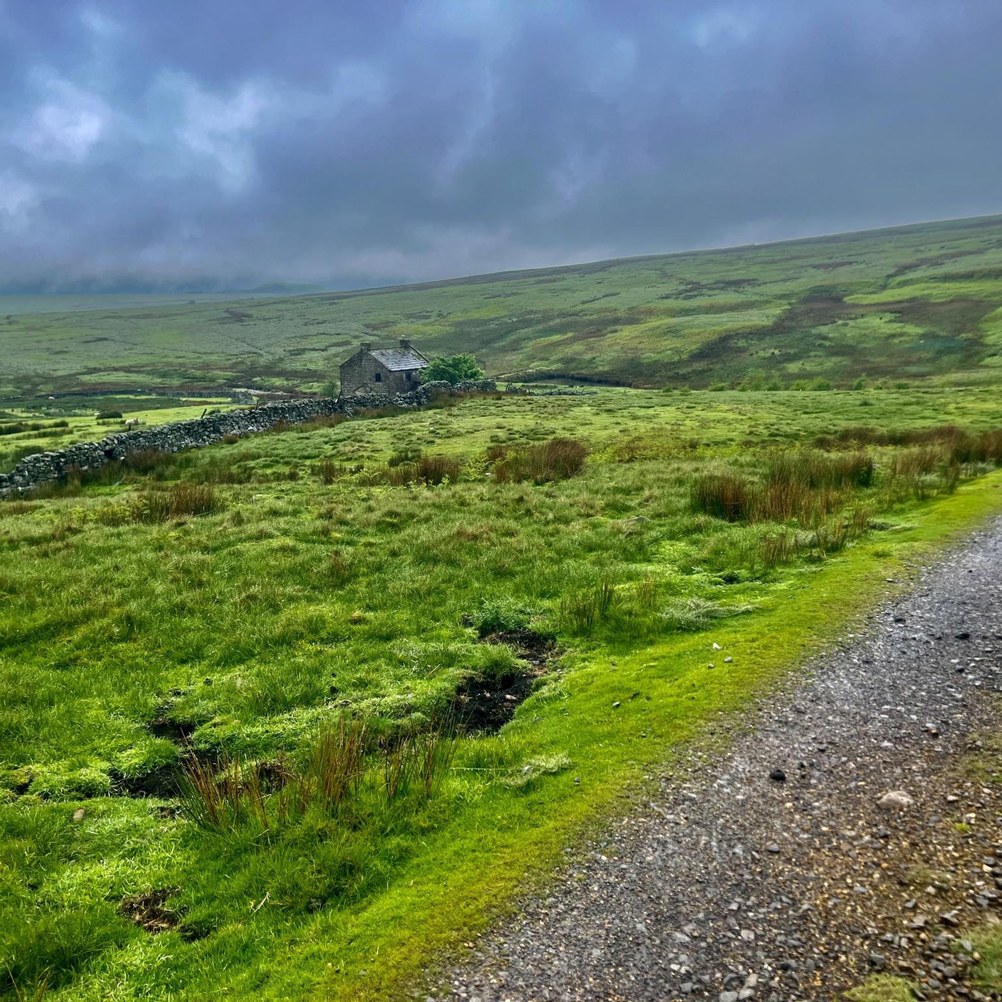
The Stang Forest 로드 사이클링 경로
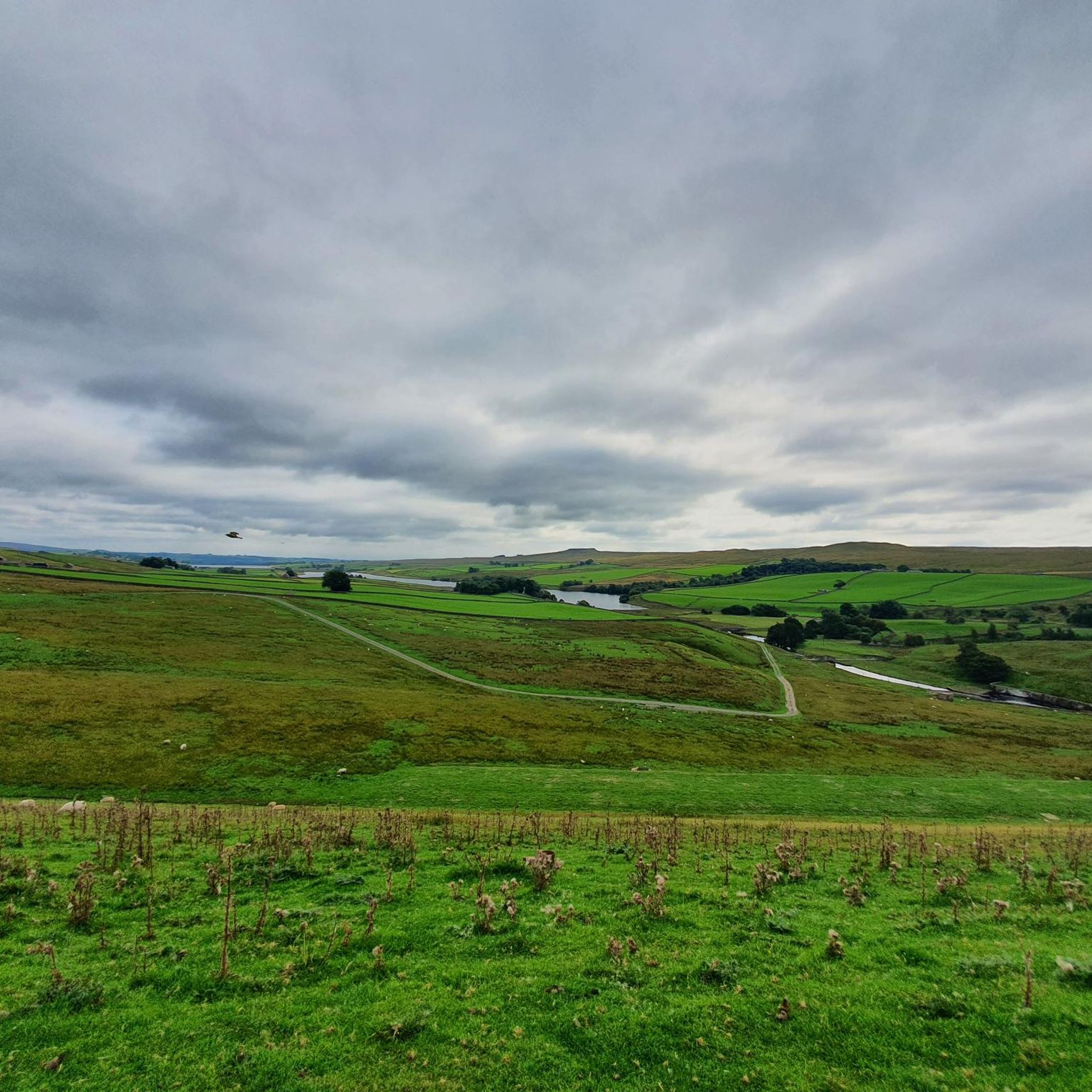
발더헤드 저수지 로드 사이클링 경로
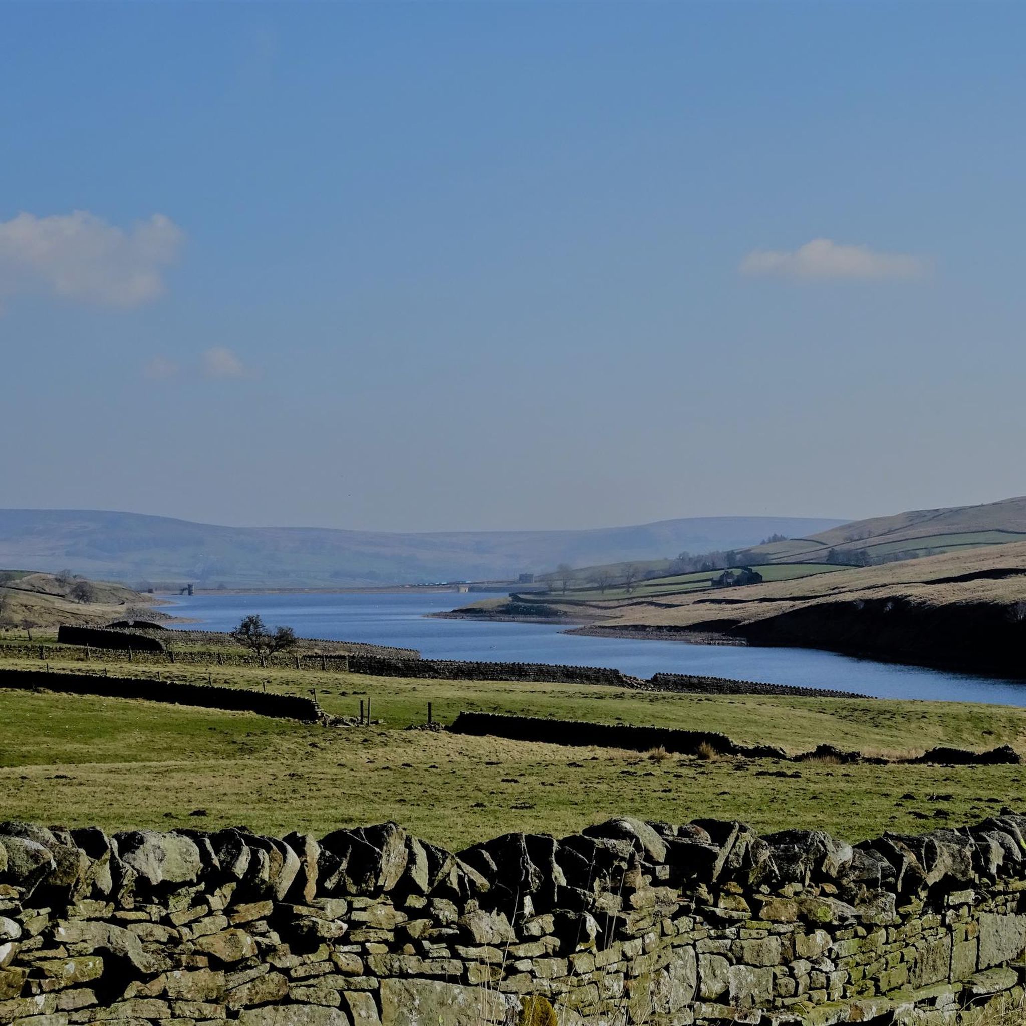
셀셋 저수지 로드 사이클링 경로
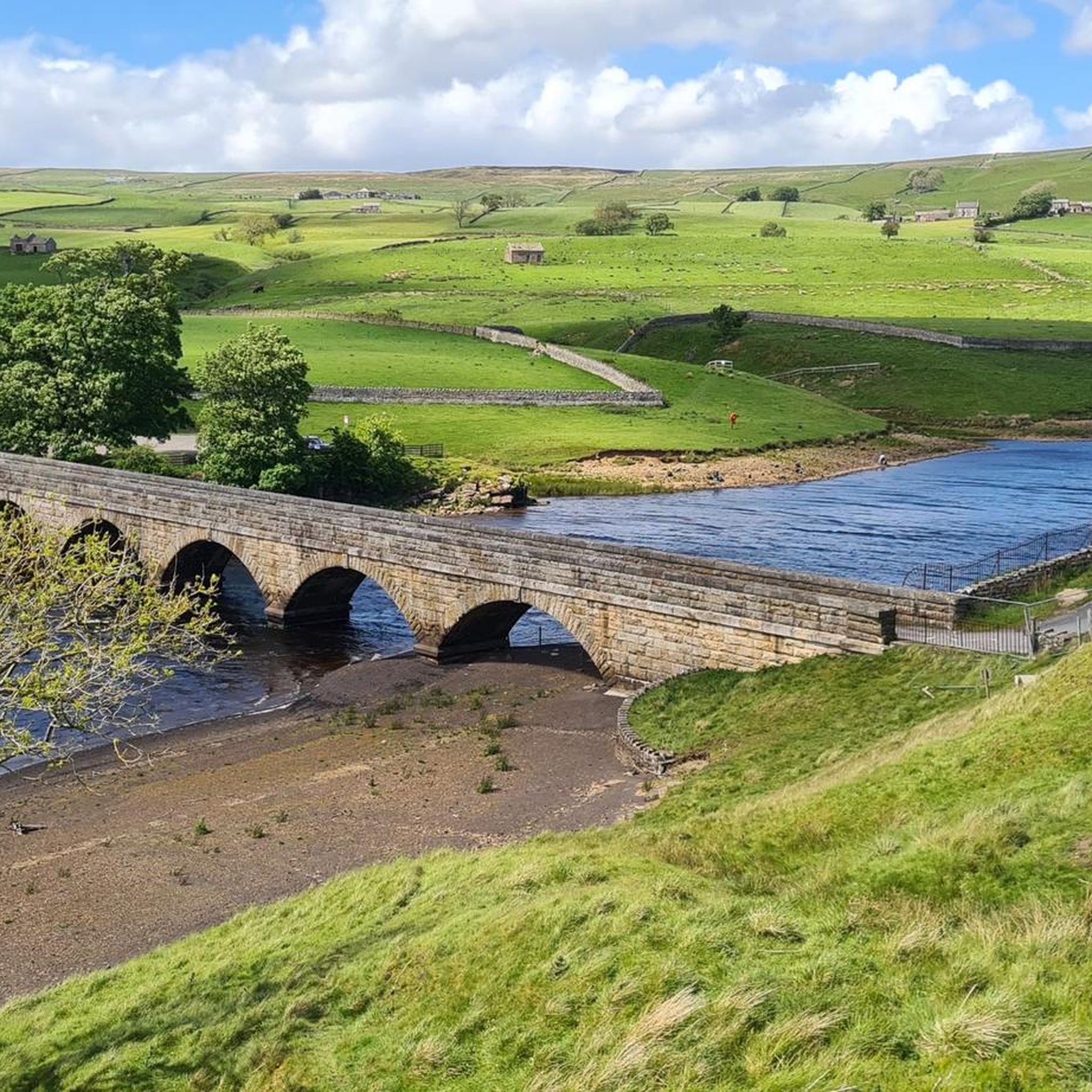
그래스홀름 저수지 로드 사이클링 경로
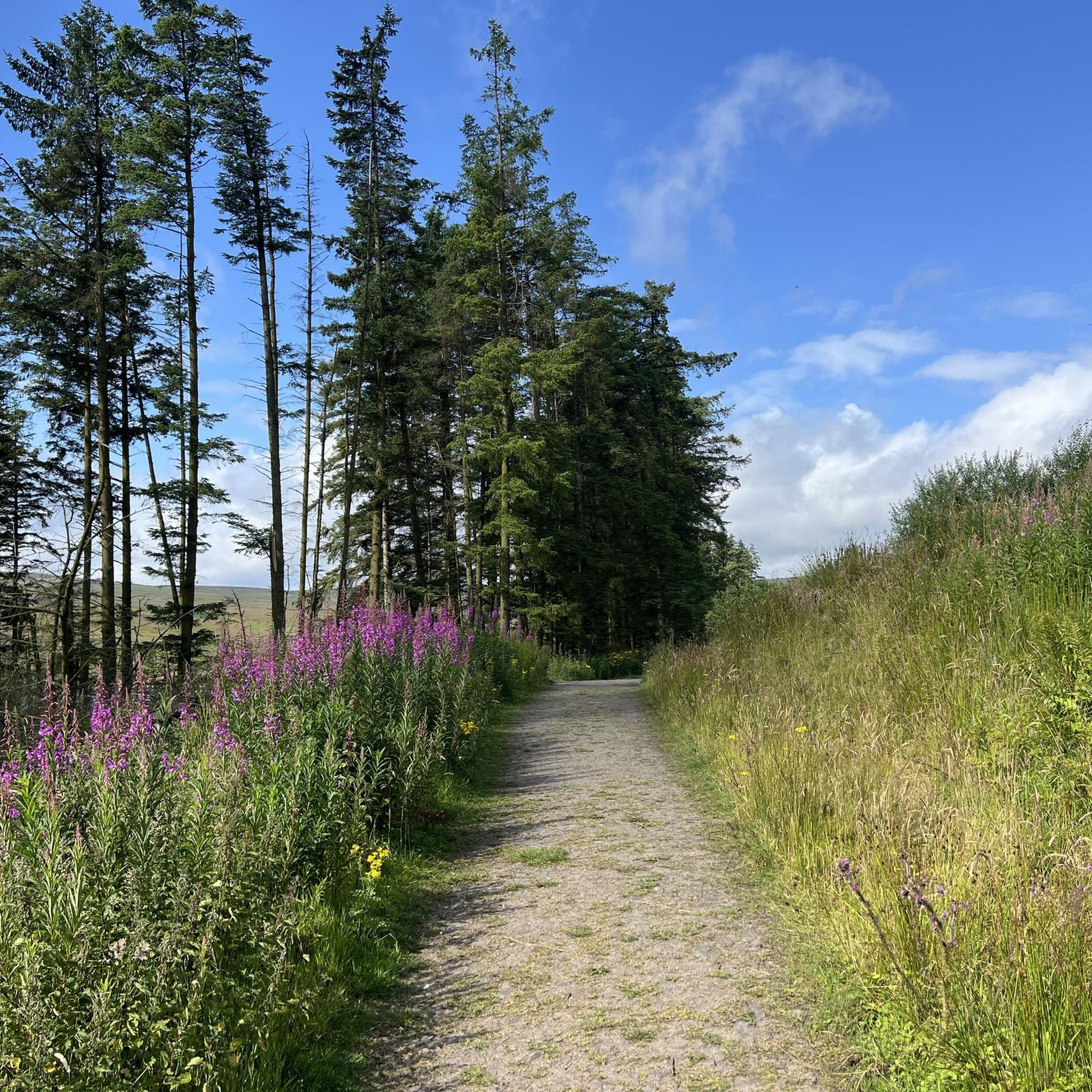
번호프 저수지 로드 사이클링 경로
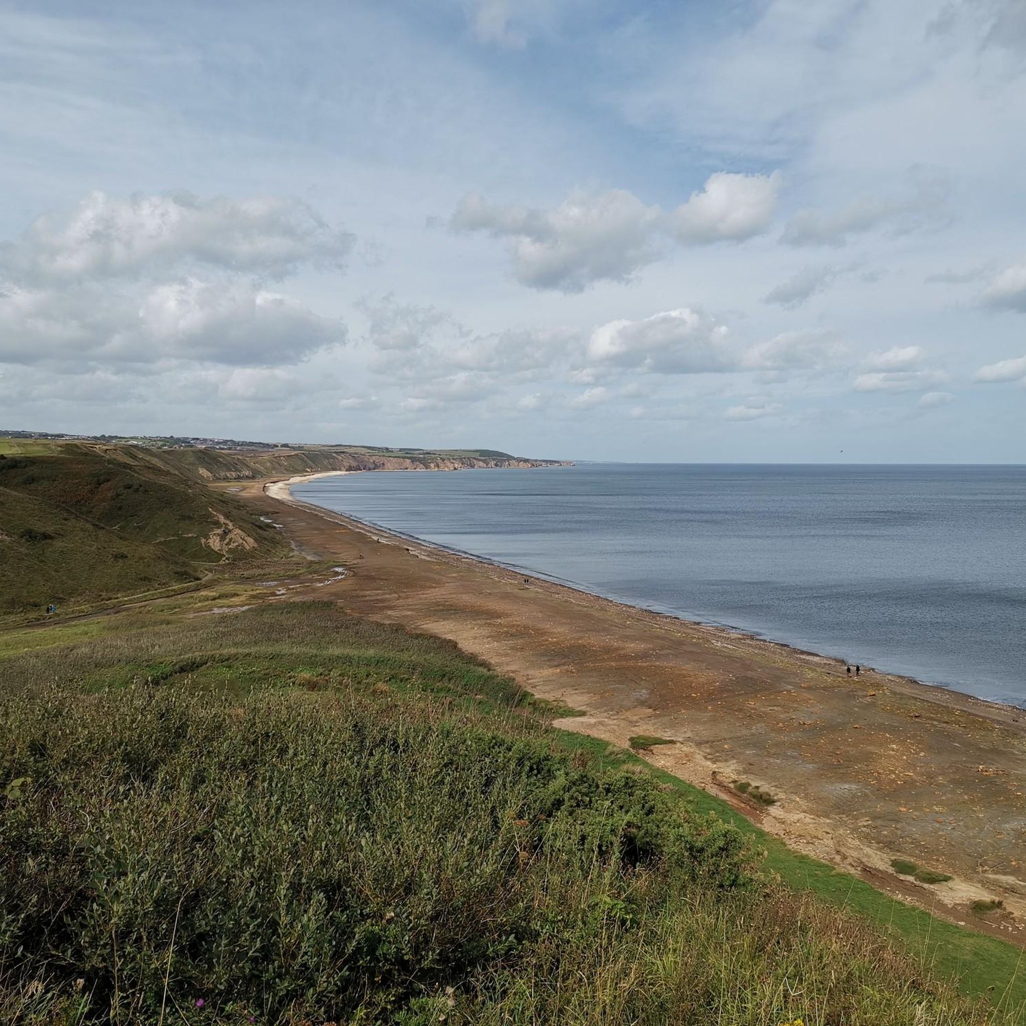
Durham Coast National Nature Reserve 로드 사이클링 경로
Derwent Gorge And Muggleswick Woods National Nature Reserve 로드 사이클링 경로
Smiddy Shaw 저수지 로드 사이클링 경로
캐슬 에덴 덴 국립 자연 보호 구역 로드 사이클링 경로
Great descent, not so fun the other way. There's a bit of a false flat drag towards the base from Colwell, then the two ramps up. Part of the Beaumont Trophy road race, which has run for about 70 years
0
0
The stone Bridge over the River Tees connects the town of Barnard Castle with Startforth. It dates from the 14th Century and is overlooked by the castle.
0
0
This impressive modern sculpture, which the hiker encounters here, is a contemporary reminder of the suffering and horror of the First World War. When designing the memorial, the artist did not choose a glorious fighter and victor. Instead, he depicts a war-weary soldier, rifle in hand, who has slumped slightly and needs to rest.
0
0
Barnard Castle is a historic market town situated in the Durham Dales. Home to The Bowes Museum.
0
0
Nice up and down, winding road through the firing ranges to speed along through. Obviously pay attention to the signs and flags.
0
0
This medieval stone bridge spanning the River Tees serves as a vital link between the towns of Barnard Castle and Startforth. Dating back to the 14th century, this historical structure, overseen by the commanding presence of the castle, has been known as "County Bridge" due to its former role as the boundary between County Durham and Yorkshire. Enduring the tests of time, the bridge underwent repairs in 1596 and saw the restoration of its parapets following the Great Flood of 1771.
0
0
카운티 더럼에서 더 많은 로드 사이클링 경로를 확인하고 목적지에서 완벽한 경로를 찾아보세요.
다른 지역의 최고의 로드 사이클링 경로를 살펴보세요.