그제빌바트넷 최고의 워킹 & 하이킹 경로
4.5
(79)
400
등산객
24
하이킹
그제빌바트넷 최고의 하이킹과 워킹을 찾으시나요? 그렇다면 아름다운 쇠르트뢴델라그 호수 주변에 있는 경로 컬렉션을 아래에서 살펴보세요. 그제빌바트넷에 있는 하이킹 트레일 중에서 마음에 드는 곳을 선택해 언제든지 야외 활동을 하면 돼요.
마지막 업데이트: 10월 27, 2026
7
등산객
22.3km
08:17
940m
950m
어려운 하이킹. 우수한 체력 필요. 대부분 걸을 수 있는 길. 안정적인 보행이 필요함.
4.7
(10)
86
등산객
19.6km
07:09
610m
620m
어려운 하이킹. 우수한 체력 필요. 대부분 걸을 수 있는 길. 안정적인 보행이 필요함.

4.4
(11)
28
등산객
5.27km
01:28
90m
90m
초급용 하이킹. 쉽게 걸을 수 있는 길.
4.6
(5)
14
등산객
4.20km
01:11
80m
90m
초급용 하이킹. 쉽게 걸을 수 있는 길.
4.0
(1)
10
등산객
18.1km
06:17
930m
930m
어려운 하이킹. 우수한 체력 필요. 대부분 걸을 수 있는 길. 안정적인 보행이 필요함.
더 다양한 경로와 다른 탐험가들의 추천을 살펴보세요.
이미 komoot 계정이 있나요?
투어 추천은 다른 사람들이 komoot에서 완료한 수천 개의 활동을 바탕으로 구성되어 있습니다.
오늘 무료 계정으로 시작하세요
다음 모험이 기다리고 있어요.
그제빌바트넷 주변 인기 장소
커뮤니티 팁


This is a beautiful lake nestled beneath the slopes of Blåhøa, the highest peak in the northeast of the Trollheimen range. There's a small cabin here, Kamtjønnkoia, which was built in the 1950s to support botanists studying the region's mountain flora. There's around 500 metres (1,600 ft) of ascent from here up to Blåhøa's summit, which stands proud at 1,671 metres (5,482 ft). The hike is relatively straightforward in good weather.
1
0
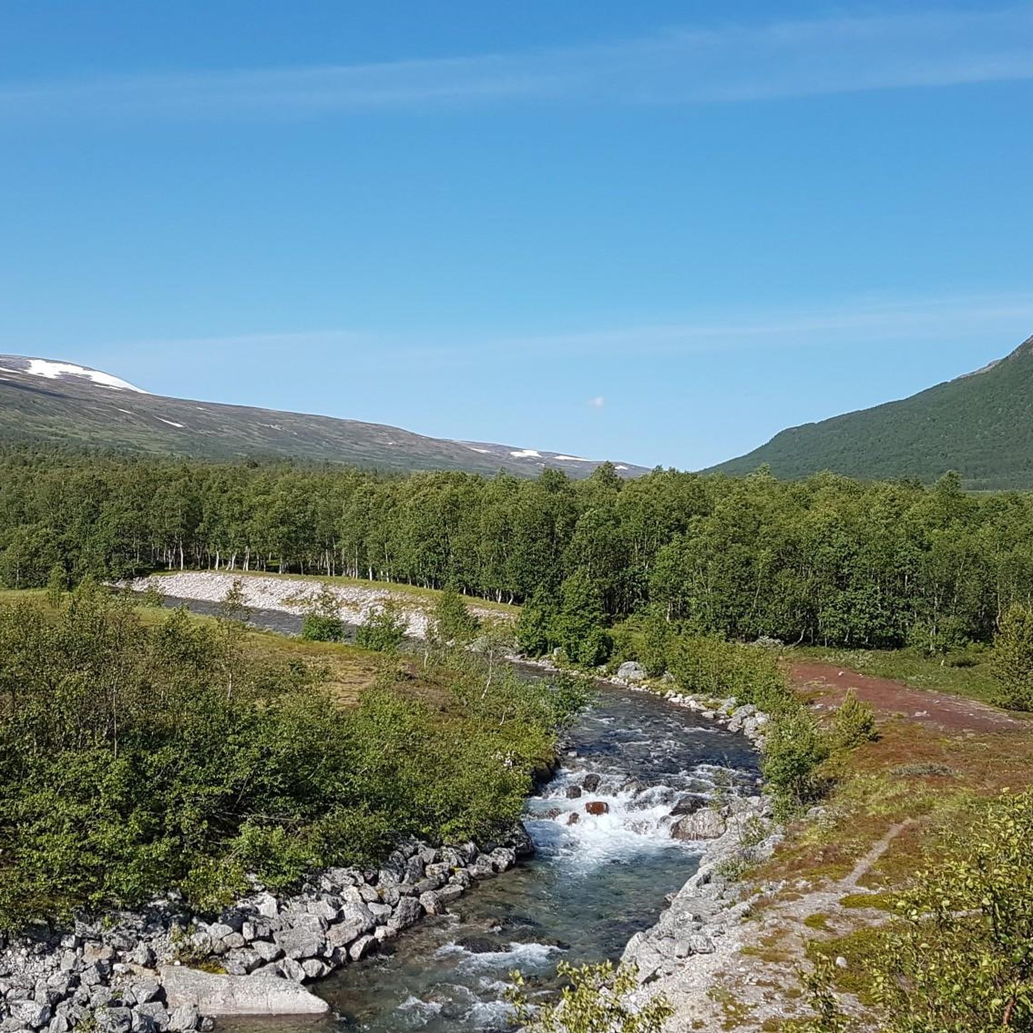
This new bridge takes hikers across Gravbekken on the way to and from Gjevilvasshytta, the oldest DNT hut. From here, the SignaTUR Trollheimen follows the stream all the way to Gjevillvatnet.
1
0

Gjevilvasshytta’s got that old-school charm – basic rooms, big views, and loads of character.
0
0
A well-built bridge that allows you to cross the river without getting wet.
0
0

Above the sandy beach (highly recommended) the tour begins or ends between Gjevilvasshytta and Trollheimshytta
0
0
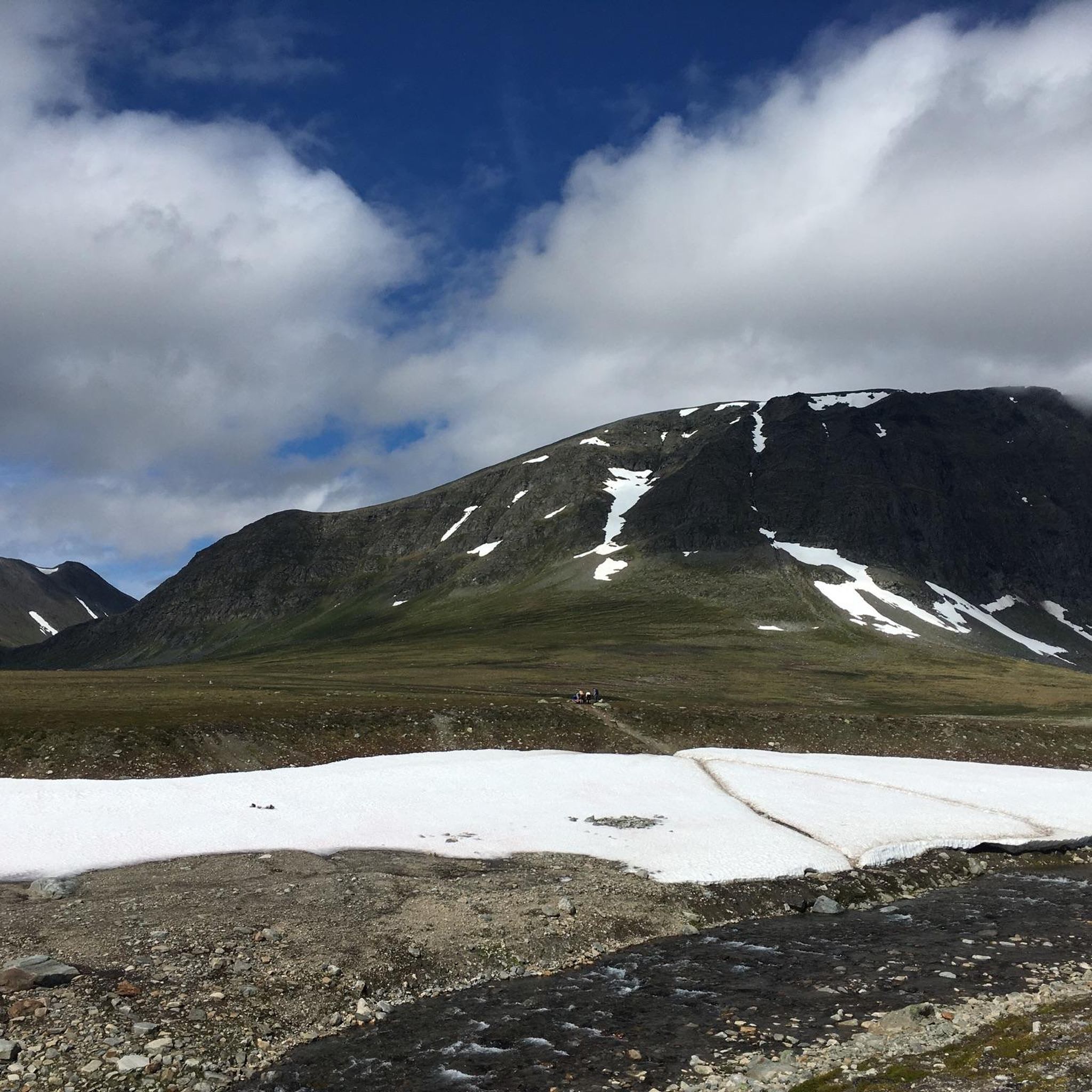
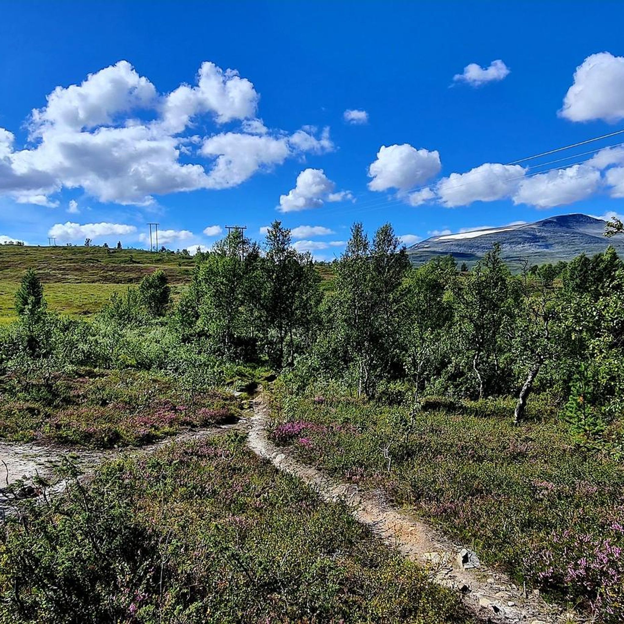
As soon as you reach the treeline, the view opens up over the plain, with the sunken stream winding through it and the surrounding mountain panorama—dominated by Blåhøa, standing at 1,610 metres (5,282 ft).
1
0
The short detour to Blåhøa offers a fantastic view. Down to Gjevilvassdalen and Blåhøtjønna, both with beautiful sandy beaches, and to the surrounding mountains. An endless panorama. An information board at the watchtower testifies to the love of country.
0
0


더 살펴보기
다른 지역의 최고의 하이킹를 살펴보세요.
