콜베인스바트넷 최고의 라이딩 경로
4.8
(11)
297
자전거 타는 사람
4
라이딩
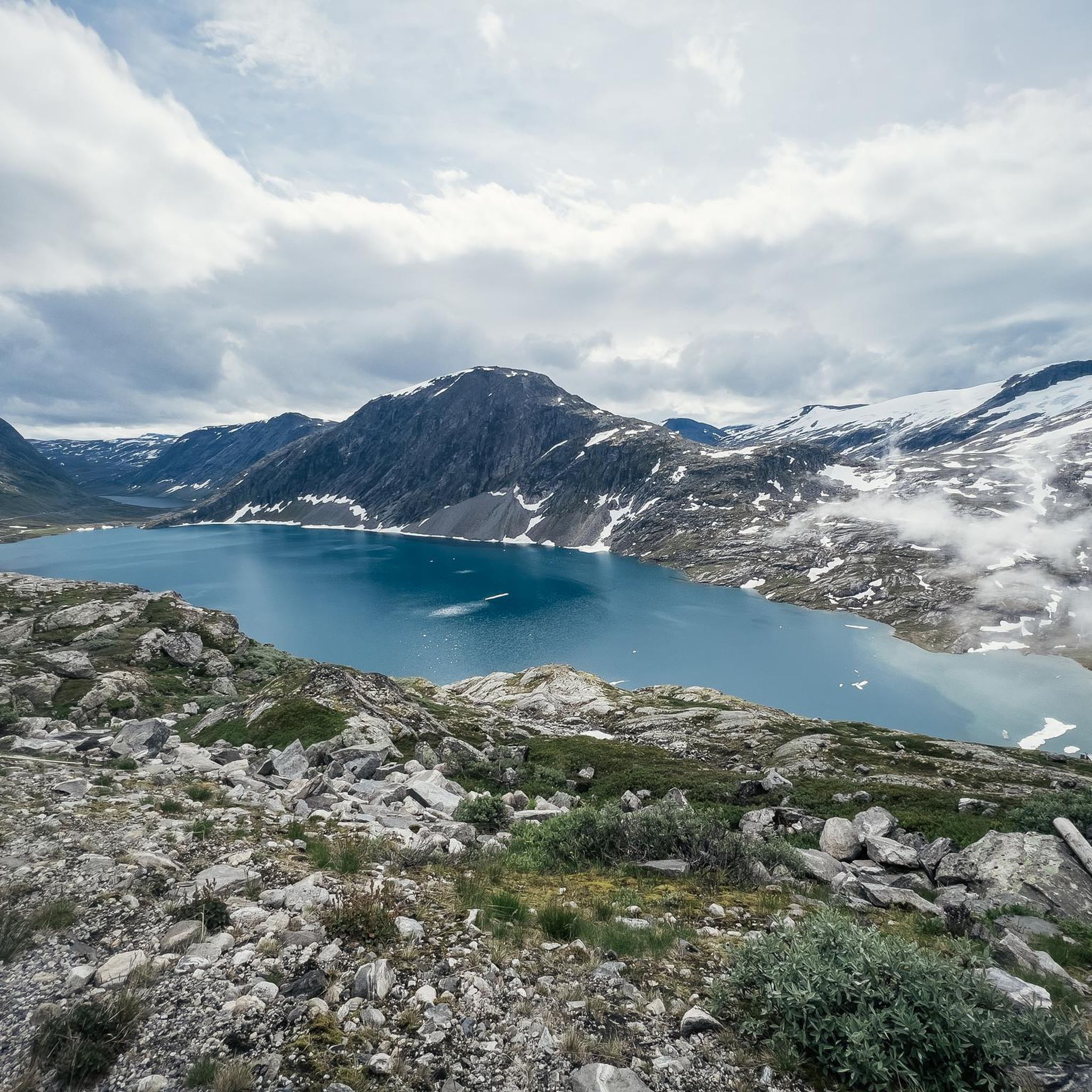
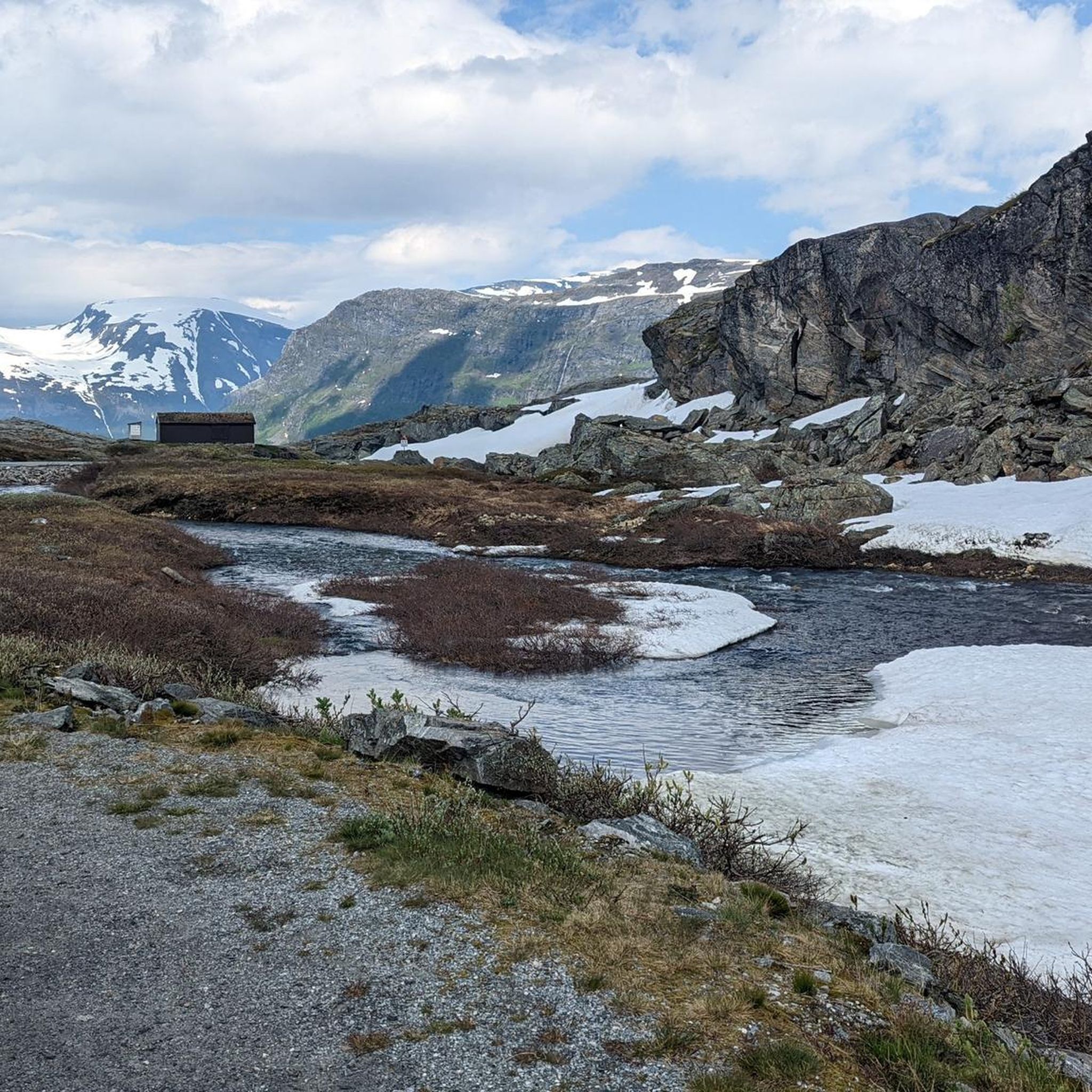
콜베인스바트넷 최고의 로드 사이클링 경로를 찾으시나요? 그렇다면 아름다운 뫼레 오그 롬스달 호수 주변의 라이딩 컬렉션을 아래에서 살펴본 후, 콜베인스바트넷의 여러 가지 모습을 직접 만나보세요.
마지막 업데이트: 8월 20, 2026
5.0
(9)
179
자전거 타는 사람
58.2km
03:46
1,720m
1,720m
어려운 도로 자전거 타기. 우수한 체력 필요. 지면 대부분이 잘 포장되어 있고 라이딩하기 쉬움.
5
자전거 타는 사람
24.3km
01:25
570m
570m
보통 도로 자전거 타기. 좋은 체력 필요. 지면 대부분이 잘 포장되어 있고 라이딩하기 쉬움.

무료 회원 가입
10
자전거 타는 사람
9.65km
00:47
430m
430m
보통 도로 자전거 타기. 좋은 체력 필요. 지면 대부분이 잘 포장되어 있고 라이딩하기 쉬움.
4.5
(2)
62
자전거 타는 사람
17.2km
01:10
570m
580m
보통 도로 자전거 타기. 좋은 체력 필요. 지면 대부분이 잘 포장되어 있고 라이딩하기 쉬움.
41
자전거 타는 사람
28.5km
02:03
960m
970m
어려운 도로 자전거 타기. 우수한 체력 필요. 투어 중 라이딩하기 어려운 비포장 구간이 있을 수 있음.
투어 추천은 다른 사람들이 komoot에서 완료한 수천 개의 활동을 바탕으로 구성되어 있습니다.
오늘 무료 계정으로 시작하세요
다음 모험이 기다리고 있어요.
로그인 또는 가입하기
콜베인스바트넷 주변 인기 장소
커뮤니티 팁


The Fjordsenter is both a tourist information center and a museum, and offers a modern exhibition with lots of interesting information about the Geirangerfjord, its nature and the history of the place.
3
0
Wonderful view of the breathtaking landscape!
3
0
The Knuten (German: Knoten, meaning knot) is a former road loop that spanned a change in elevation. The bridge was built without mortar from natural stone and still stands today. In modern times, a shorter and wider road was driven through the rock next to it, rendering the Knuten obsolete and leaving it as a historical relic. It's worth making a short stop here to admire this ancient engineering, especially since this "lost place" in the middle of nature has a special charm.
3
0

A good Geiranger insider tip is to cycle from Dalsnibba down to the fjord to enjoy the spectacular views along the way, rather than just looking from the skywalk. Discover famous waterfalls like "The Seven Sisters" and the Bridal Veil on a fjord boat cruise before cruise ships dock to experience the view without the large crowds. Explore the Flydalsjuvet viewpoint with its chair installation, or hike to the Homlongsætra mountain pasture for a different, lesser-known view of the fjord.
1
0
Facts about the Geirangerfjord The fjord is 15 km long, 1.5 km wide at its widest point, and 700 m deep at its deepest point. The area, which has been declared a UNESCO World Heritage Site, covers 498 km² and includes the fjord and the surrounding areas in the Stranda and Norddal counties.
1
0
Facts about the Geirangerfjord The fjord is 15 km long, 1.5 km wide at its widest point, and 700 m deep at its deepest point. The area, which has been declared a UNESCO World Heritage Site, covers 498 km² and includes the fjord and the surrounding areas in the Stranda and Norddal counties.
1
0
Numerous waterfalls and free-flowing rivers, deciduous and coniferous woodlands and forests, glacial lakes, glaciers, rugged mountains and a range of other natural attributes combine towards making Geirangerfjord and Nærøyfjord among the most scenically outstanding landscapes in the world.
1
0


더 살펴보기
다른 지역의 최고의 로드 사이클링 경로를 살펴보세요.
