코베이리에 최고의 워킹 & 하이킹 경로
4.6
(2456)
25,156
등산객
502
하이킹
정확한 경로를 찾는 것이 때로는 어렵지만 코베이리에에서 하이킹을 하면 다양한 경치를 마음껏 감상할 수 있답니다. 코베이리에에서 가장 멋진 하이킹과 워킹 중에서 마음에 드는 활동을 시작해보세요.
마지막 업데이트: 10월 10, 2026
4.0
(1)
30
등산객
11.4km
04:49
780m
780m
보통 하이킹. 좋은 체력 필요. 대부분 갈 수 있는 길. 미끄러지지 않게 조심해야 함.
4.0
(2)
12
등산객
9.11km
03:49
560m
550m
Hike the moderate La Riondaz loop from Leysin Feydey for 5.7 miles, gaining 1824 feet, with panoramic views of Lake Geneva.

5.0
(2)
17
등산객
11.9km
05:29
920m
910m
This difficult 7.4-mile (11.9 km) loop from Luan offers panoramic views from Berneuse Summit and La Riondaz, with 3019 feet of gain.
5.0
(4)
74
등산객
10.4km
04:53
740m
750m
어려운 하이킹. 좋은 체력 필요. 튼튼한 신발을 신고 미끄러지지 않게 조심해야 하며, 높은 산을 오른 경험이 있어야 함.
4.8
(4)
23
등산객
3.72km
01:21
200m
200m
보통 하이킹. 모든 체력 수준에 적합. 대부분 갈 수 있는 길. 미끄러지지 않게 조심해야 함.
더 다양한 경로와 다른 탐험가들의 추천을 살펴보세요.
이미 komoot 계정이 있나요?
투어 추천은 다른 사람들이 komoot에서 완료한 수천 개의 활동을 바탕으로 구성되어 있습니다.
오늘 무료 계정으로 시작하세요
다음 모험이 기다리고 있어요.
커뮤니티 팁

Beautiful mountain scenery with a small lake that invites you to swim in the summer.
0
0

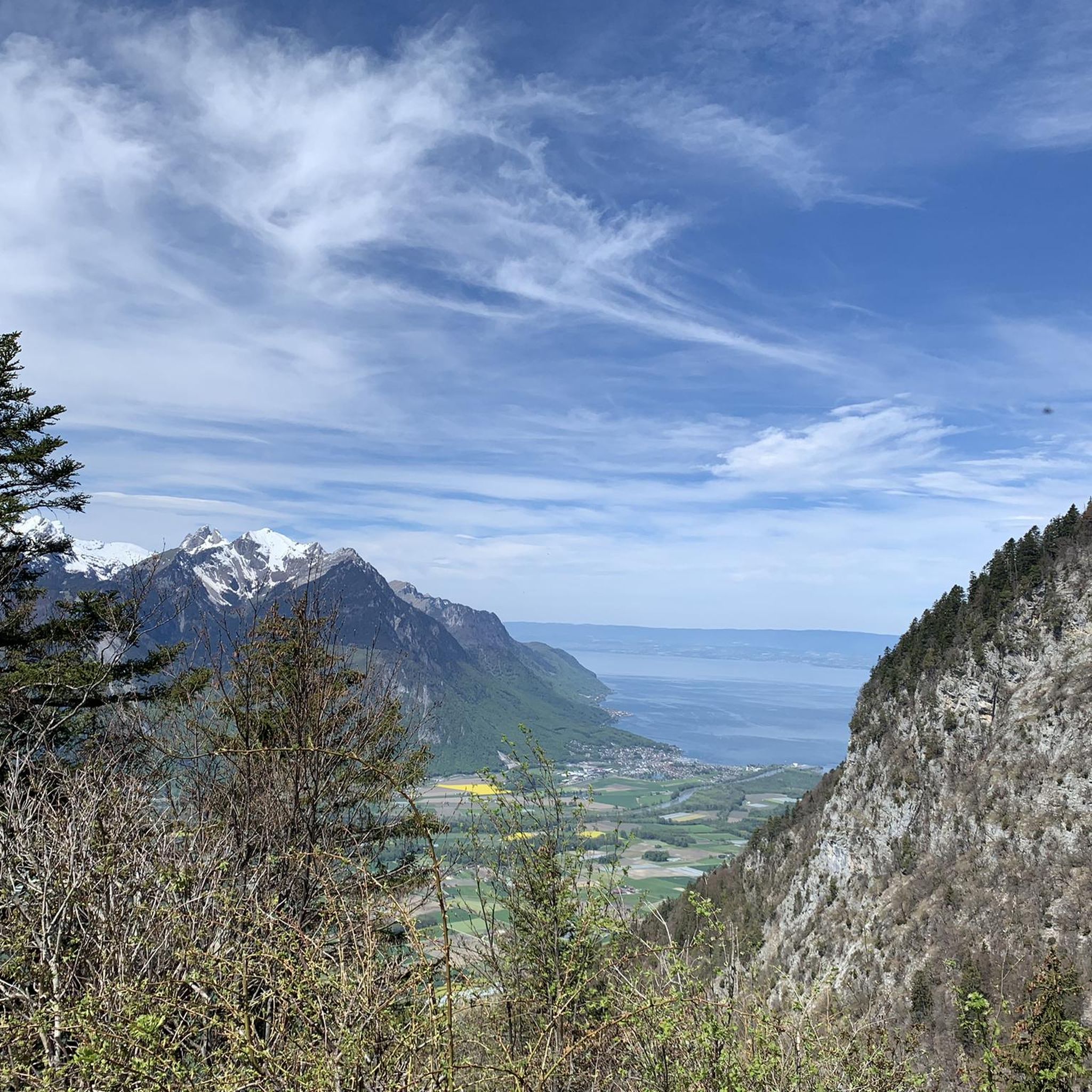
With beautiful views of Mt. Blanc and Lake Geneva.
2
0

We have been vacationing in Chablais (France) for 10 years and visited the Berneuse again after 8 years. The current price for the ascent and descent is 27 CHF. One member of our group climbed the Tour d'Aï while the rest of us descended towards Lac d'Aï - Refuge de Mayen and took the chairlift back.
0
0

Very beautiful viewpoint at the top, with superb lake! Be careful, the road is not in superb condition and a little bumpy at the top...
0
0

Lake Aï offers breathtaking views of the surrounding mountains. You'll need to climb approximately 2,300 feet of elevation gain, and be prepared to tackle tight switchbacks and loose rocks along the way. The reward is a refreshing swim in the crystal clear water of Lake Aï, a glacial lake that is one of the highest in the Alps. Don't forget to bring enough water, snacks and sunscreen, and enjoy this incredible trail race!
2
0
Lac d'Aï is a small alpine lake located above the village of Leysin in the Swiss Alps. It is located at an altitude of 1892 m. It is fed by a stream which has its source at the Tour d'Aï, a rocky peak which rises to 2330 m. The lake is surrounded by forests, meadows and rocks, and is home to many marmots playing hide and seek among the rocks. The lake is a popular destination for hikers who can enjoy the scenic views and tranquility of the place.
2
0
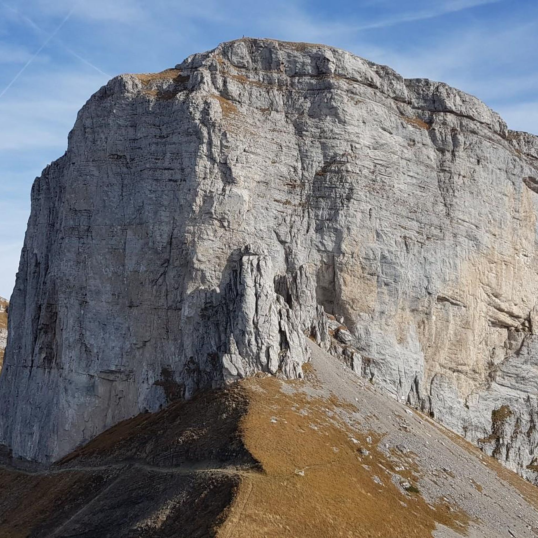
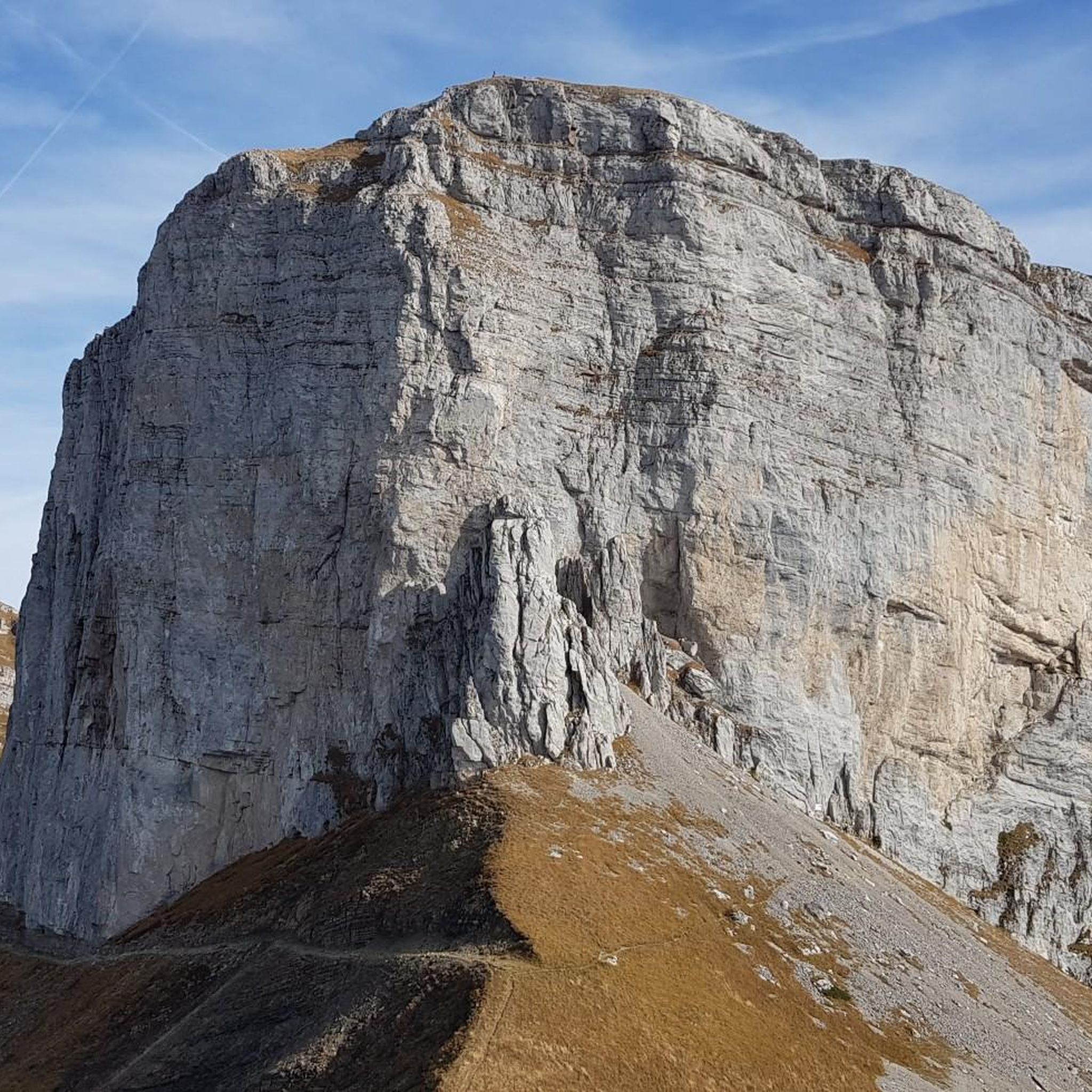
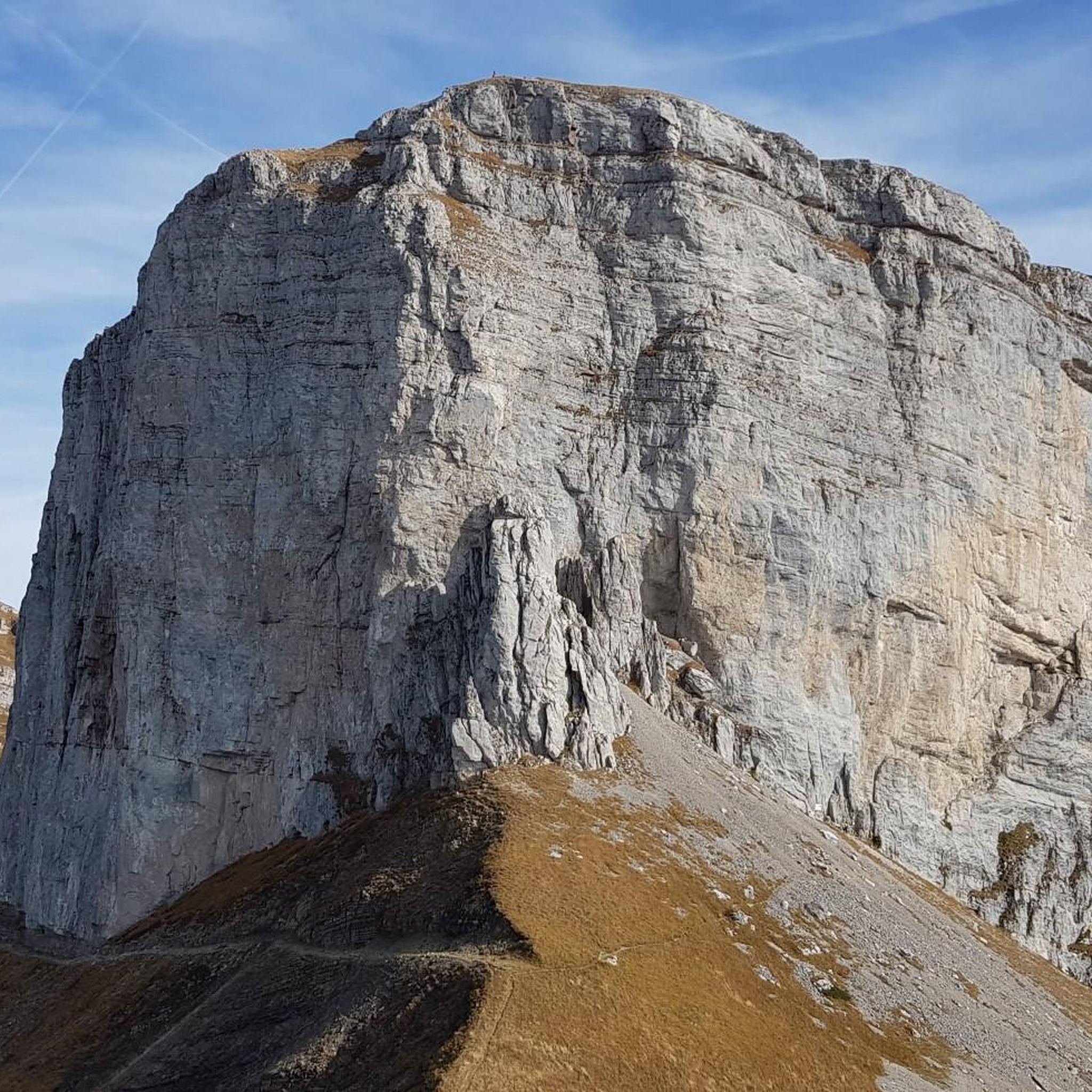
Les Truex is a modest peak in the Swiss Alps that offers remarkable views of the limestone formations called lapiés, as well as the impressive rock faces of the Tour de Mayen and the Tour d'Aï.
2
0
The Tour de Famelon is a rocky peak, located north of Leysin, which offers breathtaking views of the surrounding mountains, such as the Tour d'Aï, the Tour de Mayen and the Dents du Midi. To reach the summit you will have to cross a spectacular plateau of limestone formations called lapiaz, where you will have to be careful and follow the signs. You will also come across a small lake, Lake Segray, where you can take a break and admire the landscape. The final ascent is secured by a chain, which will help you get over the final steep section. Once at the top, you will be rewarded with a 360° panorama of the Alps and the valleys below. The Tour de Famelon is a hike that will test your skills and awaken your senses.
2
0


더 살펴보기
다른 지역의 최고의 하이킹를 살펴보세요.
