캠벨 카운티 최고의 워킹 & 하이킹 경로
4.6
(21)
456
등산객
83
하이킹
캠벨 카운티에서 하이킹하며 켄터키 구석 부분까지 살펴볼까요? 캠벨 카운티에 있는 모든 하이킹 및 워킹 경로 컬렉션 중 가장 멋진 하이킹 경로를 엄선하여 소개해드릴게요. 다른 하이커가 공유한 실제 팁과 사진을 살펴보고 후기를 읽으며 마음에 드는 캠벨 카운티 워킹 경로를 찾아보세요.
마지막 업데이트: 8월 31, 2026
1
등산객
1.19km
00:18
10m
0m
Embark on an easy hike along the Alexandria Park Loop, a gentle path that winds around a tranquil pond. This 0.7-mile (1.2 km) route offers a refreshing escape, perfect for…
1
등산객
2.76km
00:44
30m
30m
Step into the enchanting world of the Highland Hills Park Loop, where lush greenery meets artistic surprises. This easy 1.7-mile (2.8 km) hike, taking about 44 minutes with 112 feet…

무료 회원 가입
This segment of the Ohio River Trail offers a delightful, accessible walk along the riverfront, connecting the active Schmidt Recreation Complex with the peaceful Turkey Ridge Park. You'll follow a…
5.0
(1)
33
등산객
7.17km
01:49
20m
20m
The Ohio River Trail offers a refreshing urban hike along the river's edge, providing continuous scenic views of the Cincinnati skyline and iconic landmarks. You'll enjoy mostly flat, paved terrain,…
1
등산객
2.92km
00:50
70m
70m
The Eden Park Trail offers a refreshing escape into nature and history, right in the heart of Cincinnati. This easy 1.8-mile (2.9 km) hiking route takes you past serene Twin…
1
등산객
5.39km
01:23
20m
20m
The Licking River Greenway Trail offers a delightful urban escape, blending natural riverine scenery with unique artistic touches. This easy 3.3-mile (5.4 km) hiking route features varied terrain, from paved…
4.69km
01:17
70m
70m
The Parcourse and Hedgeapple Trail Loop is an easy 2.9-mile (4.7 km) hike that winds through a charming natural landscape in Hamilton County. You'll encounter distinctive Osage orange trees and…
35
등산객
5.54km
01:26
30m
30m
초급용 하이킹. 모든 체력 수준에 적합. 실력과 관계없이 누구나 쉽게 갈 수 있는 길.
5.0
(1)
19
등산객
11.0km
02:52
70m
70m
보통 하이킹. 좋은 체력 필요. 실력과 관계없이 누구나 쉽게 갈 수 있는 길.
12
등산객
6.29km
01:48
150m
150m
초급용 하이킹. 모든 체력 수준에 적합. 실력과 관계없이 누구나 쉽게 갈 수 있는 길.
더 다양한 경로와 다른 탐험가들의 추천을 살펴보세요.
무료 회원 가입
이미 komoot 계정이 있나요?
투어 추천은 다른 사람들이 komoot에서 완료한 수천 개의 활동을 바탕으로 구성되어 있습니다.
오늘 무료 계정으로 시작하세요
다음 모험이 기다리고 있어요.
로그인 또는 가입하기




커뮤니티 팁


The view of the surrounding river from the Taylor-Southgate Bridge is particularly wonderful at sunset.
0
0

Weekends on nice days draws many folk that are walking on this part of the trail. Slowly is the best way to enjoy the Ohio River vistas this trail section provides.
0
0

This public landing is along the Ohio River Trail is a nice spot to stop for a quick dip or to just enjoy the views over the water. It is also near the National Steamboat Monument and the Great American Ball Park.
0
0
The Cincinnati Trailhead for the Ohio to Erie Trail is located at Smale Riverfront Park near downtown Cincinnati. It serves as the southern terminus of the 326-mile trail that traverses Ohio, connecting Cincinnati to Cleveland. This trailhead provides a nice starting point with amenities such as parking, restrooms, water fountains, and access to the scenic park on the Ohio River.
1
0

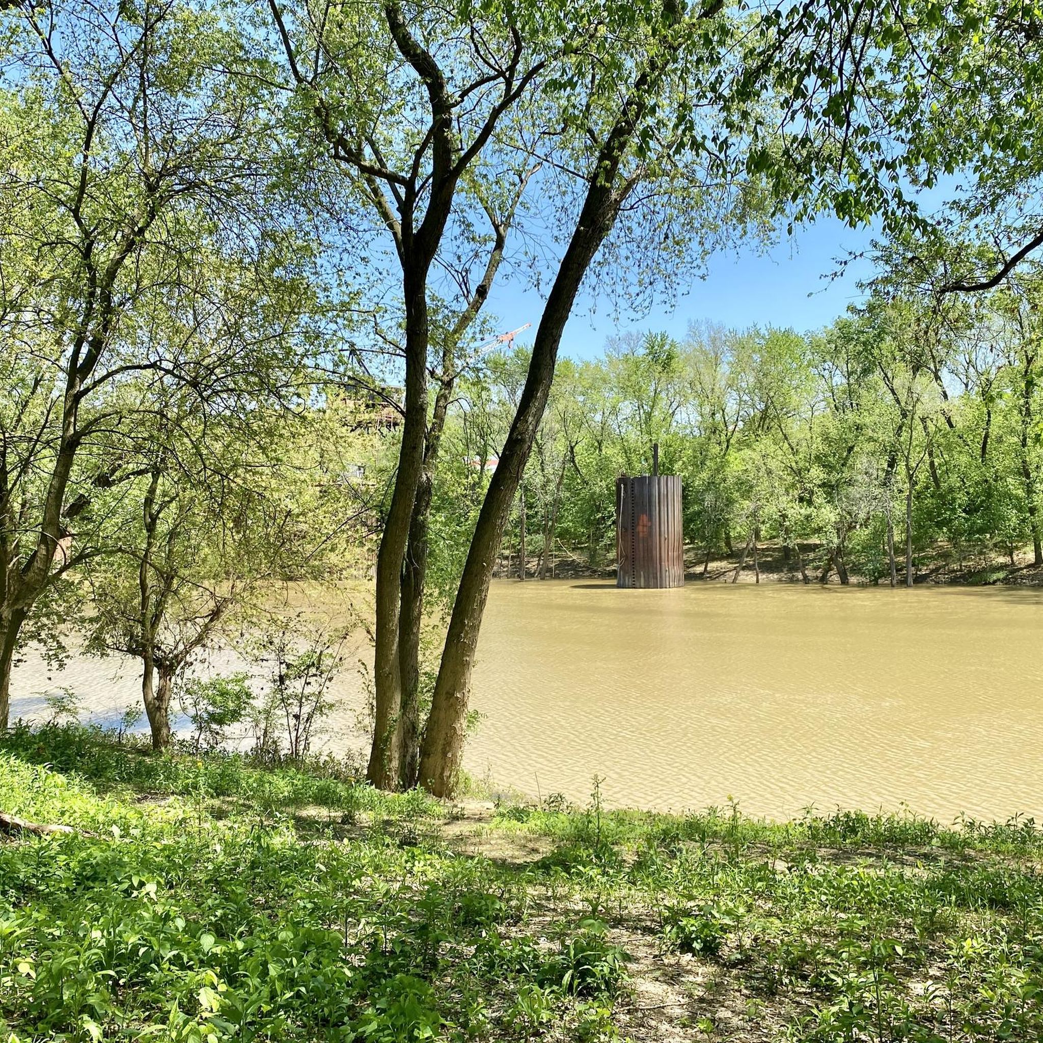
Nice view from Riverside Street across the Ohio River of the Cincinnati Skyline. At this point, it is also the meeting point of the Ohio and Licking River, so you also have a great view of the two rivers.
1
0
Great view of the Licking River from the Licking River Greenway. It is definitely worth taking a quick break on your way to enjoy the wonderful view.
0
0
The Licking River Greenway is a mix of paved and unpaved path that follows along the river of the same name. The trail is flat, so it is not a challenging walk.
0
0
캠벨 카운티에서 가장 인기 있는 명소


찾고 계신 것을 찾지 못하셨나요?
캠벨 카운티에서 더 많은 하이킹를 확인하고 목적지에서 완벽한 경로를 찾아보세요.
더 살펴보기
다른 지역의 최고의 하이킹를 살펴보세요.
