프랭클린 카운티 최고의 라이딩 경로
4.0
(2)
486
자전거 타는 사람
31
라이딩
프랭클린 카운티에서 하이킹하며 여자 이름 구석 부분까지 살펴볼까요? 프랭클린 카운티에 있는 모든 하이킹 및 워킹 경로 컬렉션 중 가장 멋진 하이킹 경로를 엄선하여 소개해드릴게요. 다른 하이커가 공유한 실제 팁과 사진을 살펴보고 후기를 읽으며 마음에 드는 프랭클린 카운티 워킹 경로를 찾아보세요.
마지막 업데이트: 10월 19, 2026
22
자전거 타는 사람
75.4km
04:08
1,380m
1,390m
Cycle 46.8 miles (75.4 km) from Roanoke River Overlook to Mills Gap Overlook, a difficult route on the Blue Ridge Parkway.
5
자전거 타는 사람
21.2km
01:15
430m
430m
Cycle the moderate 13.2-mile Roanoke Mountain Loop Road from Roanoke River Overlook for challenging climbs and panoramic views.

3
자전거 타는 사람
25.1km
01:13
260m
260m
If you're seeking a reliable road cycling route in Roanoke, Virginia, the Bandy Road loop offers a smooth, fully paved experience. This route is characterized by its consistent elevation changes,…
13
자전거 타는 사람
34.5km
01:34
290m
290m
보통 도로 자전거 타기. 투어 중 라이딩하기 어려운 비포장 구간이 있을 수 있음.
14
자전거 타는 사람
30.7km
01:42
440m
440m
보통 도로 자전거 타기. 좋은 체력 필요. 지면 대부분이 잘 포장되어 있고 라이딩하기 쉬움.
6
자전거 타는 사람
13.1km
00:35
130m
130m
초급용 로드 라이딩. 지면 대부분이 잘 포장되어 있고 라이딩하기 쉬움.
5
자전거 타는 사람
27.3km
01:14
260m
260m
초급용 로드 라이딩. 지면 대부분이 잘 포장되어 있고 라이딩하기 쉬움.
3
자전거 타는 사람
47.2km
02:55
1,130m
1,130m
어려운 도로 자전거 타기. 우수한 체력 필요. 투어 중 라이딩하기 어려운 비포장 구간이 있을 수 있음.
5
자전거 타는 사람
88.9km
04:50
1,450m
1,450m
어려운 도로 자전거 타기. 우수한 체력 필요. 지면 대부분이 잘 포장되어 있고 라이딩하기 쉬움.
3
자전거 타는 사람
47.4km
02:22
520m
520m
보통 도로 자전거 타기. 좋은 체력 필요. 지면 대부분이 잘 포장되어 있고 라이딩하기 쉬움.
더 다양한 경로와 다른 탐험가들의 추천을 살펴보세요.
이미 komoot 계정이 있나요?
투어 추천은 다른 사람들이 komoot에서 완료한 수천 개의 활동을 바탕으로 구성되어 있습니다.
오늘 무료 계정으로 시작하세요
다음 모험이 기다리고 있어요.




커뮤니티 팁

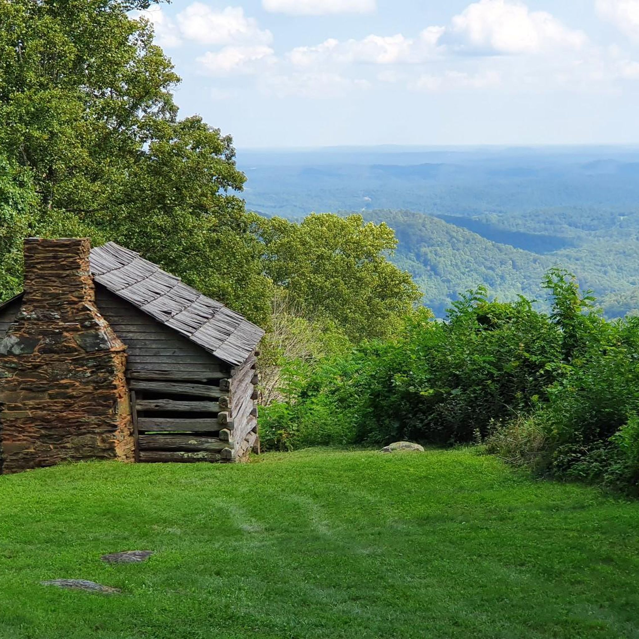
The Mills Gap Overlook is a short detour off of the Appalachian Trail, but it is definitely worth getting off the trail and stopping to enjoy the view. The viewpoint is also right where the Blue Ridge Parkway intersects with the trail, so there is a good chance you will see others enjoying this spot.
0
0

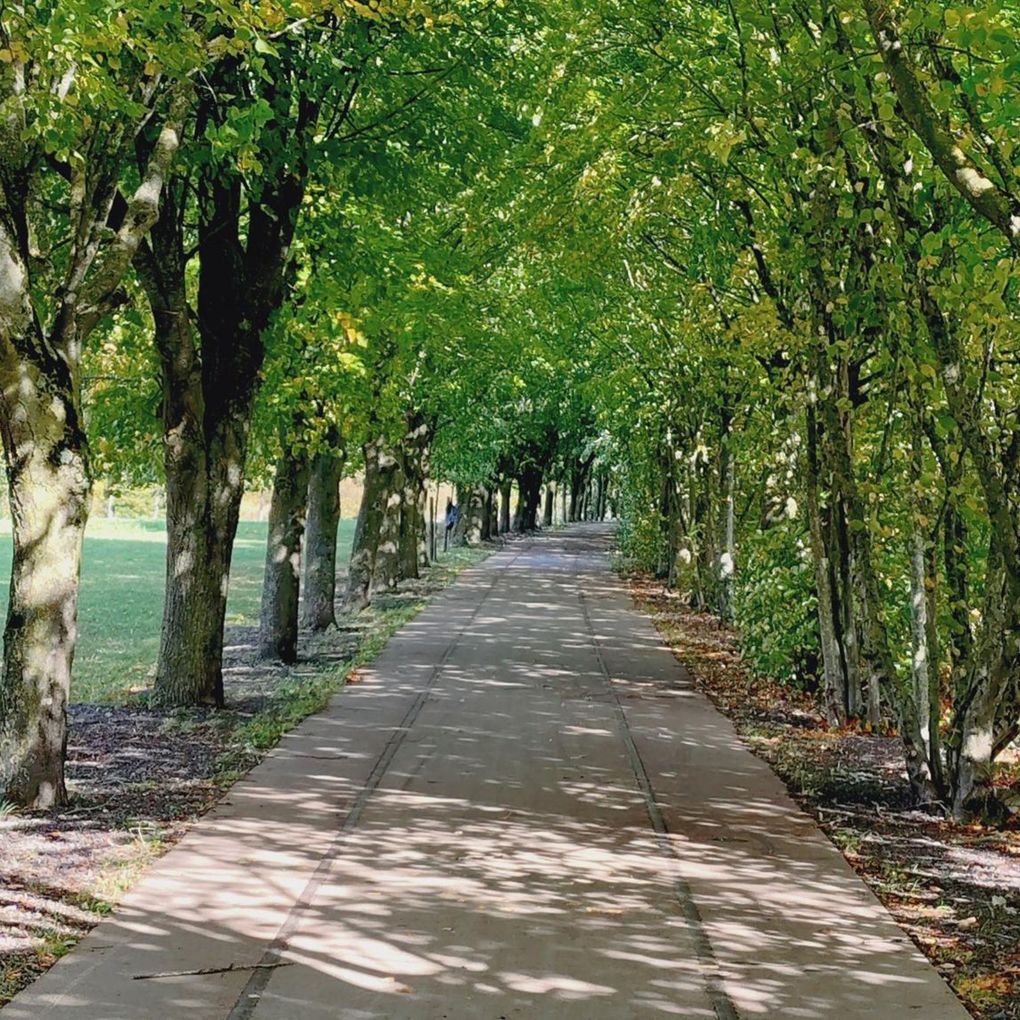
The greenway is an easily accessible multi-use trail that runs along the Roanoke River. There are multiple points of access and a number of nice parks along its route. It can get busy with cyclists, walkers, and runners though so be aware of your fellow trail users.
0
0
The greenway is an easily accessible multi-use trail that runs along the Roanoke River. There are multiple points of access and a number of nice parks along its route. It can get busy with cyclists, walkers, and runners though so be aware of your fellow trail users.
0
0

Located at Milepost 110.6 on the Blue Ridge Parkway, Stewarts Knob Overlook offers a view of the city of Roanoke. The view is not the most picturesque on the parkway, but it does have ample parking and a bench. The view of the city is really the best one you'll get of Roanoke while on the parkway.
0
0
There's also a short hiking trail that goes to the actual summit of the mountain, but this road loop on the side of the mountain offers a few different viewpoints of the city and Mill and Stone Mountains.
0
0
The Roanoke River Overlook is located at Milepost 114 on the Blue Ridge Parkway. You can either lock up your bike and hike the short spur trails down to the river or just take in the view from the overlook. There are also some pretty great views from the bridge that actually crosses the river.
0
0
Located at Milepost 110.6 on the Blue Ridge Parkway, Stewarts Knob Overlook offers a view of the city of Roanoke. The view is not the most picturesque on the parkway, but it does have ample parking and a bench. The view of the city is really the best one you'll get of Roanoke while on the parkway.
0
0
The Roanoke River Overlook is located at Milepost 114 on the Blue Ridge Parkway. You can either lock up your bike and hike the short spur trails down to the river or just take in the view from the overlook. There are also some pretty great views from the bridge that actually crosses the river.
0
0


찾고 계신 것을 찾지 못하셨나요?
프랭클린 카운티에서 더 많은 로드 사이클링 경로를 확인하고 목적지에서 완벽한 경로를 찾아보세요.
더 살펴보기
다른 지역의 최고의 로드 사이클링 경로를 살펴보세요.
