20의 산도발 카운티가지 명소 & 주요 장소
산도발 카운티에는 둘러볼 만한 장소가 많답니다. 하이킹 또는 사이클링을 좋아한다면 산도발 카운티에 숨겨진 20
가지 보석을 만날 수 있을 거예요. 이 지역의 주요 명소를 살펴보면서 다음 모험을 계획해보세요.
마지막 업데이트: 8월 30, 2026


이런 장소를 발견하려면 지금 가입하세요
최고의 싱글 트랙, 봉우리 및 다양한 흥미로운 야외 장소에 대한 추천을 받아보세요.
무료 회원 가입
카샤-카투웨 텐트 록스 국립기념물
하이라이트 • 자연 기념물
This …
팁에 의해

발레스 칼데라 국립 보호구역
하이라이트 • 화산
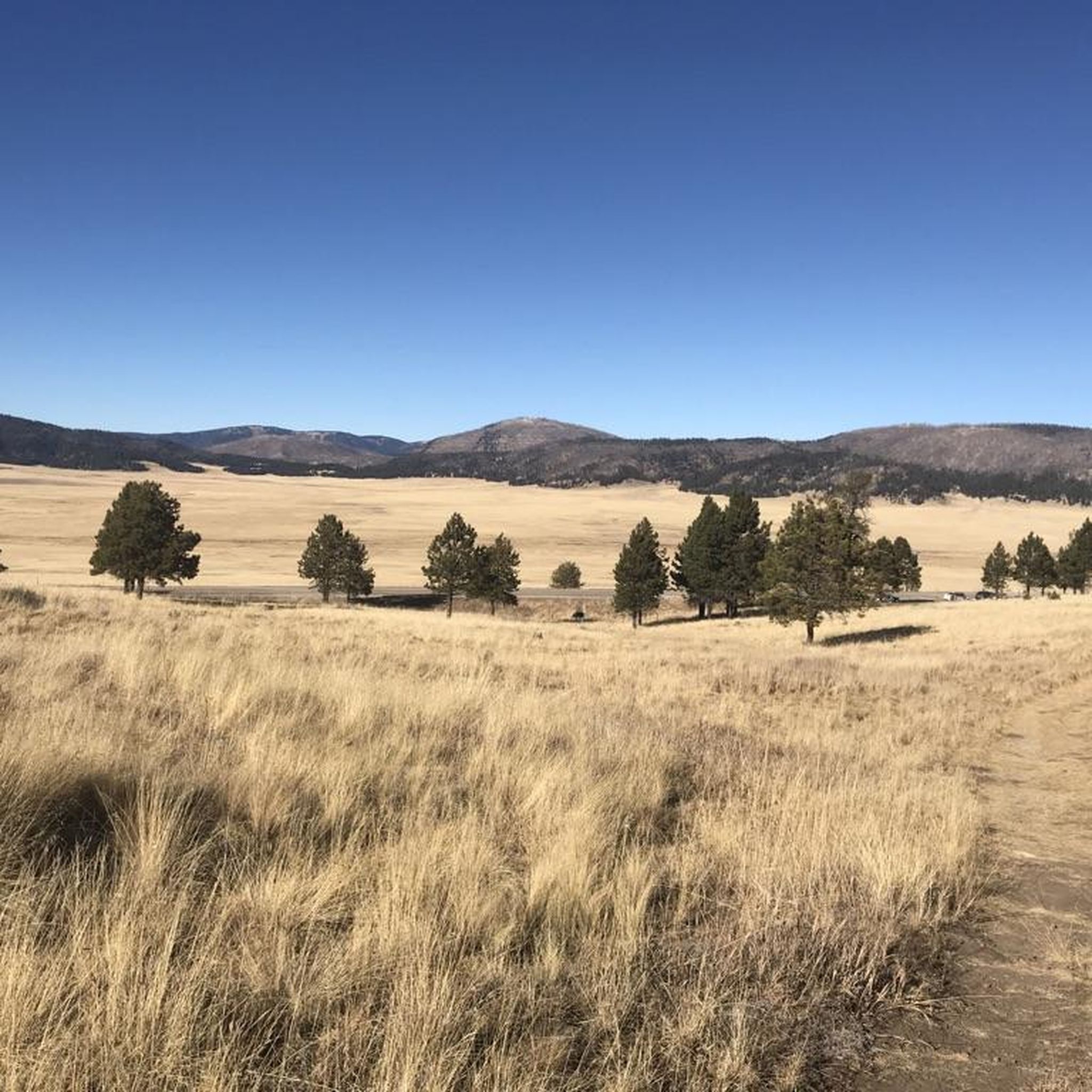
Today it is a …
번역자 Google •
팁에 의해

스펜스 온천 ♨ 헤메즈, 뉴멕시코
하이라이트 • 자연 기념물
팁에 의해
Tyuonyi Pueblo 유적지
하이라이트 • 역사적 장소
팁에 의해


Tyuonyi 전망대 트레일
하이라이트 (구간) • 트레일
팁에 의해
무료로 가입하여 산도발 카운티의 더 많은 명소를 발견하세요.
무료 회원 가입
이미 komoot 계정이 있나요?
오늘 무료 계정으로 시작하세요
다음 모험이 기다리고 있어요.
로그인 또는 가입하기



커뮤니티 팁

San Antonio Hot Springs has natural hot water coming out of several sources of the hillsides. There are a few soaking pools made of primitive rock circles, each with a different temperature. There is a shorter trail that is only 0.7 miles out and back from Lake Forest Drive, but the road to get there can be closed in the winter.
0
0
San Antonio Hot Springs has natural hot water coming out of several sources of the hillsides. There are a few soaking pools made of primitive rock circles, each with a different temperature. There is a shorter trail that is only 0.7 miles out and back from Lake Forest Drive, but the road to get there can be closed in the winter. Running the San Antonio Creek Trail is a great alternative and a nice way to see the beauty of the local forests.
0
0
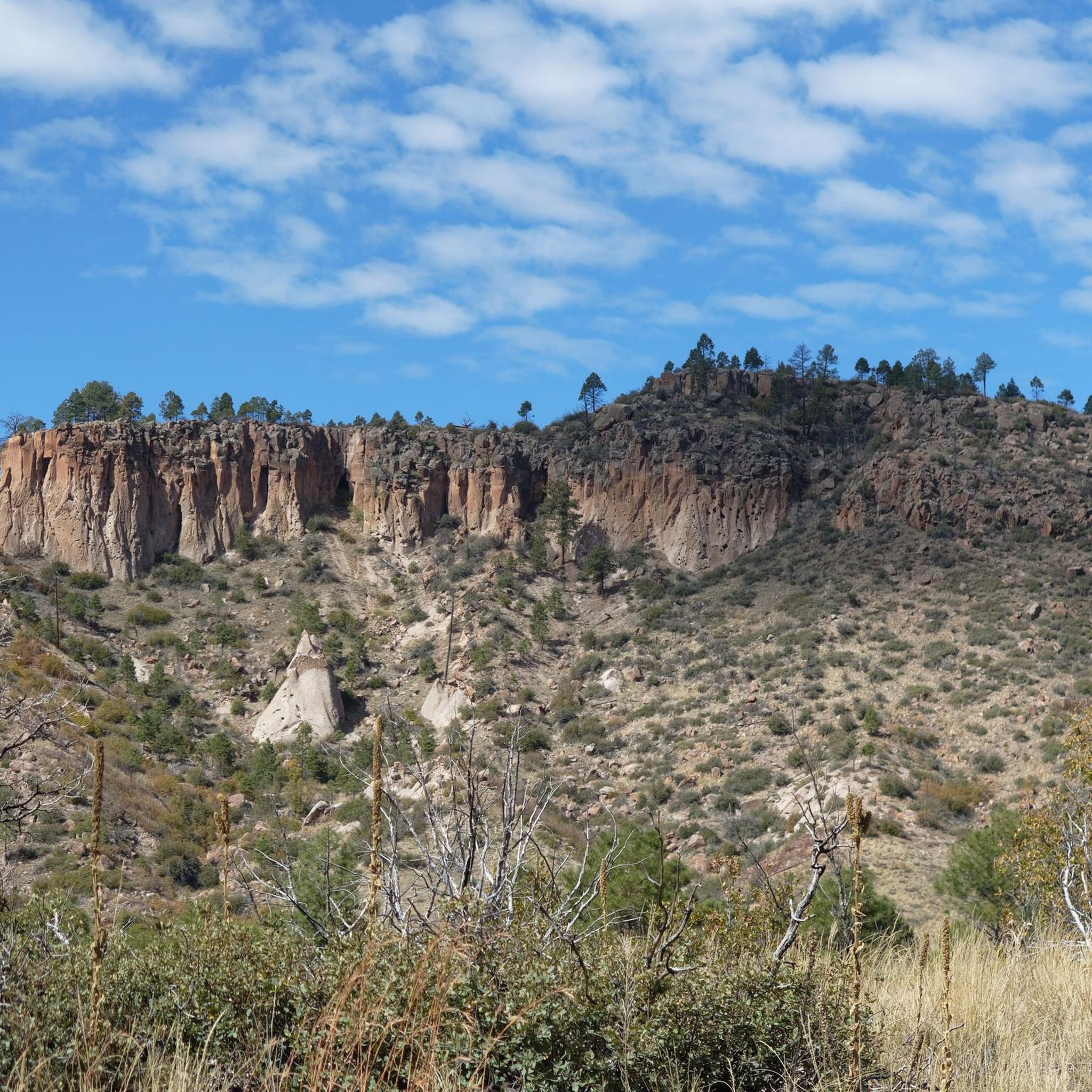
Kasha-Katuwe Tent Rocks National Monument is on public BLM land (Bureau of Land Management), and before arriving, visitors should check to see if the area is open at blm.gov/visit/kktr This area has impressive geological features, including cone-shaped tent rock formations. This area is open to foot traffic only, and the elevation of the area ranges from 5,570 feet to 6,760 feet above sea level.
0
0
Lower Frijoles Falls is the last stop on the Falls Trail before it terminates. Here, hikers get a view over the Lower Frijoles Falls, where, in different seasons, water can be flowing low or rushing out! In the winter months, it gets cold enough for ice cycles to form around the falls. The canyon around the falls has multicolored rocks and foliage that changes with the seasons as well.
0
0
San Antonio Hot Springs has natural hot water coming out of several sources of the hillsides. There are a few soaking pools made of primitive rock circles, each with a different temperature. There is a shorter trail that is only 0.7 miles out and back from Lake Forest Drive, but the road to get there can be closed in the winter. Hiking the San Antonio Creek Trail is a great alternative and a nice way to see the beauty of the local forests.
0
0
The Tyuonyi Overlook Trail is 2.2 miles in total and goes from Juniper Campground to Tyuonyi Overlook. The trail highlights are the couple of Frijoles Canyon Overlooks and Tyuonyi Overlook. Different seasons can have different conditions; in the dry season, the trail is susceptible to dust, and the wet season can make the trail muddy.
0
0
Kasha-Katuwe Tent Rocks National Monument is on public BLM land (Bureau of Land Management), and before arriving, visitors should check to see if the area is open at https://www.blm.gov/visit/kktr This area has impressive geological features, including cone-shaped tent rock formations. This area is open to foot traffic only, and the elevation of the area ranges from 5,570 feet to 6,760 feet above sea level.
0
0

Tyuonyi Pueblo is the largest ruin in Bandelier National Monument. Once containing over 400 rooms in a two-story structure, this ruin is now just a leveled site but still contains a load of history.
0
0
산도발 카운티에서 가장 인기 있는 명소


찾고 계신 것을 찾지 못하셨나요?
근처의 멋진 장소를 더 탐험하고 싶으신가요? 우리의 가이드를 살펴보세요:
더 살펴보기
찾고 있는 하이라이트를 아직 못 찾으셨나요? 다른 지역의 주요 명소 가이드를 확인해보세요:
