타오스 카운티 최고의 MTB 라이딩 경로
21
자전거 타는 사람
3
라이딩
타오스 카운티에서 하이킹하며 뉴 멕시코 구석 부분까지 살펴볼까요? 타오스 카운티에 있는 모든 하이킹 및 워킹 경로 컬렉션 중 가장 멋진 하이킹 경로를 엄선하여 소개해드릴게요. 다른 하이커가 공유한 실제 팁과 사진을 살펴보고 후기를 읽으며 마음에 드는 타오스 카운티 워킹 경로를 찾아보세요.
마지막 업데이트: 8월 31, 2026
14
자전거 타는 사람
13.7km
01:16
200m
200m
초급용 산악자전거 라이딩. 모든 체력 수준에 적합. 실력과 관계없이 누구나 갈 수 있음.
6
자전거 타는 사람
8.70km
00:47
100m
100m
초급용 산악자전거 라이딩. 모든 체력 수준에 적합. 실력과 관계없이 누구나 갈 수 있음.

무료 회원 가입
1
자전거 타는 사람
52.8km
05:04
1,170m
1,170m
어려운 산악 자전거 타기. 우수한 체력 필요. 뛰어난 라이딩 실력이 필요함. 투어 중 자전거를 끌고 가야 하는 구간이 있을 수 있음.
투어 추천은 다른 사람들이 komoot에서 완료한 수천 개의 활동을 바탕으로 구성되어 있습니다.
오늘 무료 계정으로 시작하세요
다음 모험이 기다리고 있어요.
로그인 또는 가입하기

커뮤니티 팁

This quiet forest road follows the Rio Chiquito westward through Carson National Forest, offering a peaceful walk beside the creek and shaded stretches of pine. If you are heading north towards Taos, this section, near the Drake Canyon Loop, is the last reliable water source before a long dry stretch toward El Nogal. Several flat spots near the creek provide good opportunities for camping, especially across the water where it’s quieter and more secluded.
0
0

FR 437, or Rio Chiquito Road, ius a great way to access some of the hikes near Taos away from the crowds along Highway 64. At this spot, FR 437 intersects with the trail that passes through Ojitos Canyon and connects up to the popular Ojitos Trail. A little further east of here along FR 437 is the junction with Drake Canyon Loop Trail.
0
0
From the The Upper Slide Trail Trailhead, or Cascabel Trailhead, you can access the northeastern end of the popular Slide Trail, which links up to the Orilla Verde Campground and Taos Junction Bridge and Boat Launch. There are several parking spaces and vault toilets here for you to use, which are good to know about if hiking up from the Taos Overlook Trailhead that does not have any facilites.
0
0

This 10,368-foot mountain has a wide, grassy summit, but there are enough trees if you want to rest in the shade. The view of the surrounding mountains is particularly good in autumn when the aspen trees have turned yellow.
0
0
The South Boundary Trail and the Ojitos Trail intersect at this point. The junction is clearly marked with a signpost.
0
0
This trailhead offers parking for several dozen cars and is a popular embarkation point for hikers, bikers, and equestrians.
0
0
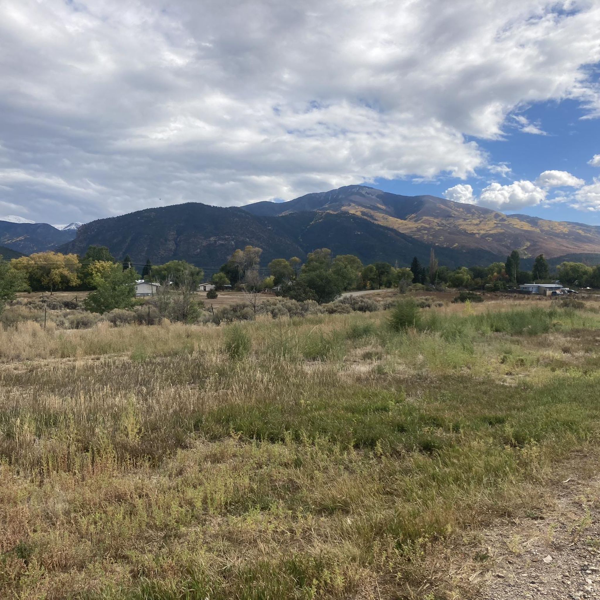
To the west you can see the outskirts of Taos as well as the separate community of Ranchos de Taos.
0
0

You will be having a blast when shredding through this scenic route through aspens and high alpine meadows. Be prepared for the last few miles of South Boundary: They will be challenging and extremely rocky!
2
0
타오스 카운티에서 가장 인기 있는 명소


더 살펴보기
다른 지역의 최고의 MTB 트레일를 살펴보세요.
