도라도 무니치피오 최고의 사이클링 경로
5.0
(14)
195
자전거 타는 사람
11
라이딩
도라도 무니치피오에서 하이킹하며 미국 구석 부분까지 살펴볼까요? 도라도 무니치피오에 있는 모든 하이킹 및 워킹 경로 컬렉션 중 가장 멋진 하이킹 경로를 엄선하여 소개해드릴게요. 다른 하이커가 공유한 실제 팁과 사진을 살펴보고 후기를 읽으며 마음에 드는 도라도 무니치피오 워킹 경로를 찾아보세요.
마지막 업데이트: 9월 8, 2026
18
자전거 타는 사람
47.4km
03:26
270m
270m
보통 자전거 타기. 좋은 체력 필요. 대부분 포장된 지면. 실력과 관계없이 누구나 갈 수 있음.
8
자전거 타는 사람
14.8km
00:49
10m
10m
초급용 자전거 라이딩. 모든 체력 수준에 적합. 대부분 포장된 지면. 실력과 관계없이 누구나 갈 수 있음.

5.0
(3)
7
자전거 타는 사람
42.8km
02:26
60m
60m
보통 자전거 타기. 좋은 체력 필요. 대부분 포장된 지면. 실력과 관계없이 누구나 갈 수 있음.
6
자전거 타는 사람
47.0km
02:46
160m
160m
보통 자전거 타기. 좋은 체력 필요. 대부분 포장된 지면. 실력과 관계없이 누구나 갈 수 있음.
4
자전거 타는 사람
41.1km
02:22
170m
170m
보통 자전거 타기. 좋은 체력 필요. 대부분 포장된 지면. 실력과 관계없이 누구나 갈 수 있음.
6
자전거 타는 사람
87.4km
05:12
600m
600m
어려운 자전거 타기. 우수한 체력 필요. 대부분 포장된 지면. 실력과 관계없이 누구나 갈 수 있음.
3
자전거 타는 사람
21.0km
01:17
80m
80m
초급용 자전거 라이딩. 모든 체력 수준에 적합. 대부분 포장된 지면. 실력과 관계없이 누구나 갈 수 있음.
더 다양한 경로와 다른 탐험가들의 추천을 살펴보세요.
이미 komoot 계정이 있나요?
투어 추천은 다른 사람들이 komoot에서 완료한 수천 개의 활동을 바탕으로 구성되어 있습니다.
오늘 무료 계정으로 시작하세요
다음 모험이 기다리고 있어요.
도라도 무니치피오 주변 인기 장소
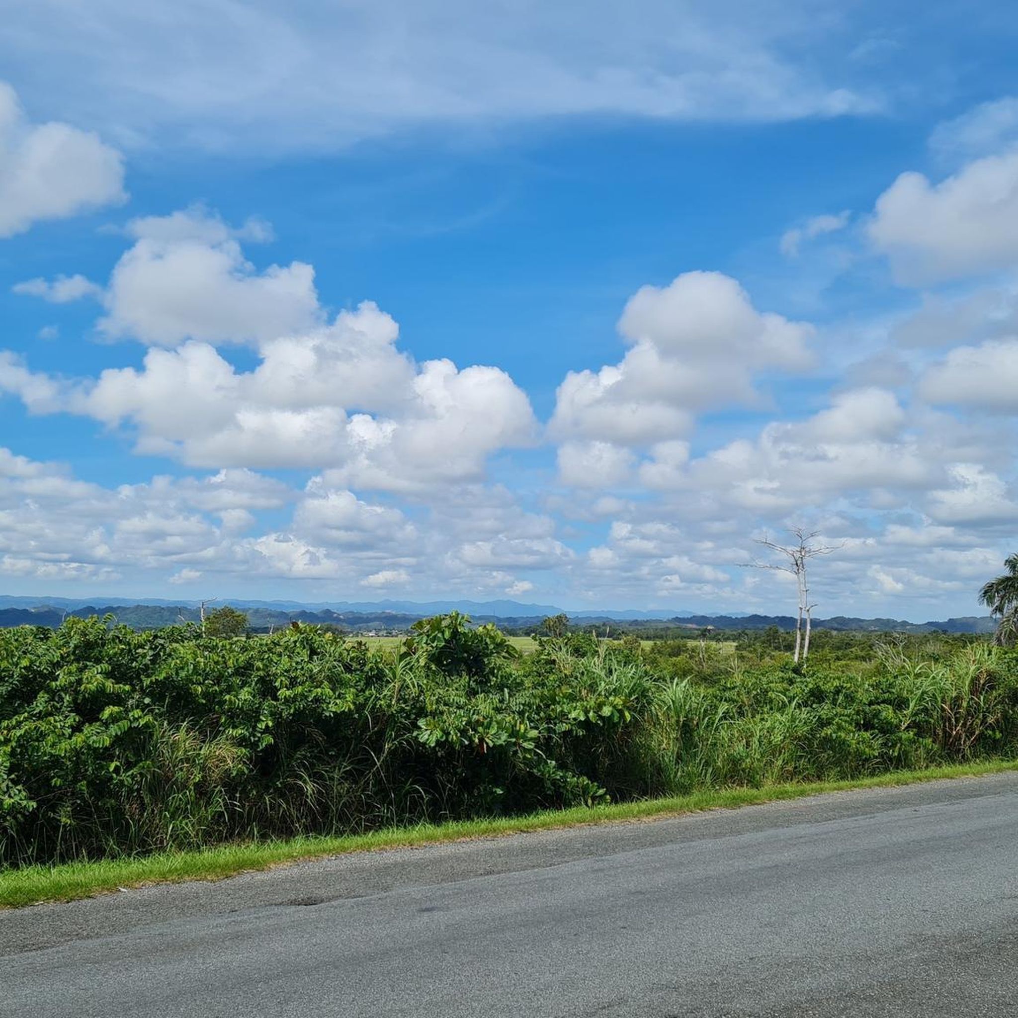



커뮤니티 팁

You can road all the way from Cataño county or you can drive until Punta Salinas beach and ride from there. If you came from west, you can drive trough Dorado county. The reference is allways the 165 road number. This sections is closed on Sunday mornings to cars and open exclusive to bicycle riders or pedestrians. On vacations days, the county dons't closes to cars on sundays. You can drive this road any day, even the hurricane one, but unless your own risk.
0
0

There are miles of scenic bike trails in the reserve, many of which are grassy doubletrack. The hacienda is also an important historic site with an old sugar mill, steam engine, and tours. You can explore some of the ruins and old plantation lands on your own terms via bike.
0
0


Area to practice recreational fishing, kayaking or MTB. It has gazebos for lunch, but they are pretty unworthy so use them at your own risk.
0
0

The lagoon covers an area of approximately 2.43 km2 and contains a total volume of water of 708 million gallons. It is made up of two segments: Laguna Tortuguero, which includes the northeastern swamp known as Cabo Caribe, and Laguna Rica. Its prevailing depth is between four to five feet. The most important hydrological consideration is the relationship between the Lagoon and its main water sources; groundwater from aquifers and water that runs through surface river discharges during rains.
0
0


더 살펴보기
다른 지역의 최고의 자전거 경로를 살펴보세요.
