프렌치 리비에라 최고의 라이딩 경로
4.5
(11298)
291,472
자전거 타는 사람
2,581
라이딩
프렌치 리비에라에서 하이킹하며 프로방스-알프-코트다쥐르 구석 부분까지 살펴볼까요? 프렌치 리비에라에 있는 모든 하이킹 및 워킹 경로 컬렉션 중 가장 멋진 하이킹 경로를 엄선하여 소개해드릴게요. 다른 하이커가 공유한 실제 팁과 사진을 살펴보고 후기를 읽으며 마음에 드는 프렌치 리비에라 워킹 경로를 찾아보세요.
마지막 업데이트: 10월 7, 2026
4.8
(142)
2,741
자전거 타는 사람
54.7km
02:41
810m
810m
보통 도로 자전거 타기. 좋은 체력 필요. 투어 중 라이딩하기 어려운 비포장 구간이 있을 수 있음.
4.7
(105)
1,691
자전거 타는 사람
67.4km
03:18
1,000m
1,000m
어려운 도로 자전거 타기. 우수한 체력 필요. 지면 대부분이 잘 포장되어 있고 라이딩하기 쉬움.

4.9
(59)
1,433
자전거 타는 사람
38.7km
02:20
1,030m
1,030m
어려운 도로 자전거 타기. 우수한 체력 필요. 지면 대부분이 잘 포장되어 있고 라이딩하기 쉬움.
4.0
(50)
1,428
자전거 타는 사람
59.8km
02:52
760m
760m
보통 도로 자전거 타기. 좋은 체력 필요. 지면 대부분이 잘 포장되어 있고 라이딩하기 쉬움.
4.6
(78)
1,237
자전거 타는 사람
46.1km
02:19
700m
690m
보통 도로 자전거 타기. 좋은 체력 필요. 지면 대부분이 잘 포장되어 있고 라이딩하기 쉬움.
4.6
(41)
847
자전거 타는 사람
34.2km
01:38
470m
470m
보통 도로 자전거 타기. 좋은 체력 필요. 투어 중 라이딩하기 어려운 비포장 구간이 있을 수 있음.
4.9
(15)
673
자전거 타는 사람
86.0km
04:10
1,280m
1,280m
어려운 도로 자전거 타기. 우수한 체력 필요. 지면 대부분이 잘 포장되어 있고 라이딩하기 쉬움.
4.5
(37)
714
자전거 타는 사람
41.6km
02:05
590m
580m
보통 도로 자전거 타기. 좋은 체력 필요. 투어 중 라이딩하기 어려운 비포장 구간이 있을 수 있음.
4.1
(21)
687
자전거 타는 사람
43.9km
02:07
480m
480m
보통 도로 자전거 타기. 좋은 체력 필요. 지면 대부분이 잘 포장되어 있고 라이딩하기 쉬움.
4.6
(23)
420
자전거 타는 사람
29.1km
01:33
580m
580m
보통 도로 자전거 타기. 좋은 체력 필요. 지면 대부분이 잘 포장되어 있고 라이딩하기 쉬움.
더 다양한 경로와 다른 탐험가들의 추천을 살펴보세요.
이미 komoot 계정이 있나요?
투어 추천은 다른 사람들이 komoot에서 완료한 수천 개의 활동을 바탕으로 구성되어 있습니다.
오늘 무료 계정으로 시작하세요
다음 모험이 기다리고 있어요.


프렌치 리비에라의 다른 모험


커뮤니티 팁

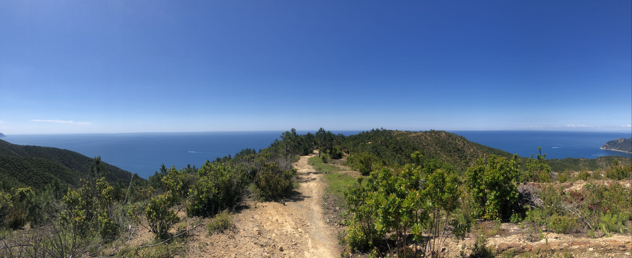
아스팔트 도로를 따라 패스로 올라갑니다. 패스 정상 바로 직후에 임도로 방향을 틀면, 울창한 오르막과 내리막이 있는 전망 좋은 파노라마 길로 이어집니다. 멀리 보이는 산, 마을, 바다의 멋진 전망을 감상할 수 있습니다.
0
0

이 다리에서는 붉은색의 인상적인 Rocher de Roquebrune 절벽과 정박된 보트가 있는 강둑을 볼 수 있습니다. 정말 놀라운 곳입니다.
1
0


A beautiful and very isolated route, paved throughout. However, the surface is often not the best, so ride carefully! Narrow tires on a road bike, especially if you're not using tubeless tires, can easily lead to a flat tire.
0
0

Nothing going on and a great road, exactly my taste 😀 the climb is rather easy but that's not a flaw; it fits in with the surroundings.👍
0
0

The Col d'Èze, located between Nice and Monaco, near La Turbie in the Alpes-Maritimes department, peaks at 507 m. Located less than 5 km from the coast, it offers a remarkable panorama of the Côte d'Azur: Cap Ferrat to the west, and Italy to the east. It is part of the Route des Grandes Alpes route. Despite its modest altitude, it is important to remember that the climbs all start at sea level and that the elevation gain is therefore quite significant at nearly 500 m. There are many options for accessing the Col d'Èze...
1
1
The Col d'Èze, located between Nice and Monaco, near La Turbie in the Alpes-Maritimes department, peaks at 507 m. Located less than 5 km from the coast, it offers a remarkable panorama of the Côte d'Azur: Cap Ferrat to the west, and Italy to the east. It is part of the Route des Grandes Alpes route. Despite its modest altitude, it is important to remember that the climbs all start at sea level and that the elevation gain is therefore quite significant at nearly 500 m. There are many options for accessing the Col d'Èze...
1
0


