경로

플래너

기능

업데이트

App

로그인 또는 가입

앱 다운로드

로그인 또는 가입

경로
Places to see
Mountain Peaks
스페인
갈리시아
아 코루냐

서양인

서양인‬에서 가장 멋진 ‪17‬개의 산 정상

옥시덴탈 주변의 최고의 산봉우리들은 탐험을 위한 다양한 지형을 제공합니다. 이 지역은 해안 언덕부터 유명한 정상까지 다양한 고도로 특징지어집니다. 풍경은 숲이 우거진 지역, 노출된 화강암 지형, 자연 기념물이 혼합되어 있습니다. 옥시덴탈은 자연 환경 전반에 걸쳐 도전적인 등반과 경치 좋은 전망대 모두를 경험할 기회를 제공합니다.

옥시덴탈 주변의 최고의 산봉우리

  • 가장 인기 있는 산봉우리는 뷰포인트인 몬테 코르피뇨(Monte Corpiño) 정상으로, 무시아(Muxia)와 산투아리우 다 바르카(Santuario da Barca)의 광활한 전망을 제공합니다. 이 장소는 해안과 주변 지역의 명확한 파노라마를 제공합니다.
  • 또 다른 꼭 봐야 할 명소는 모아…

마지막 업데이트: 8월 31, 2026

모아 봉우리 (몬테 핀도)

하이라이트 • 정상

The signposted trail to Monte Pindo is beautiful, with always great views and a rugged, impressive landscape. Whether you follow the way back (following the trail) on the route closer …

번역자 Google •

에 의해

하이킹 보기

휴대폰으로 전송

저장

몬테 페드로소

하이라이트 • 정상

Monte Pedroso is located on the right bank of the Sarela River. It is one of the highest points in... Nature Recreation areas and viewpoints Viewpoint.

번역자 Google •

에 의해

저장

이런 장소를 발견하려면 지금 가입하세요

최고의 싱글 트랙, 봉우리 및 다양한 흥미로운 야외 장소에 대한 추천을 받아보세요.

무료 회원 가입

피코 사크로

하이라이트 • 정상

An isolated mountain peak, giving it a unique point of reference in the surrounding landscape. The top of Pico Sacro is the first place from where you can see the towers of the church of Santiago de Compostela

번역자 Google •

에 의해

저장

몬테 루로

하이라이트 • 정상

Natural beauty at a height of 241 meters Monte Louro rises above the banks of the Muros y Noia estuary. The area has been declared a Special Conservation Area, which …

번역자 Google •

에 의해

저장

몬테 타우메

하이라이트 • 정상

This Mount Taúme o Tahume is located in a phenomenal geographical enclave, between the coast of Corrubedo and Muro, so from its top we will enjoy a spectacular view of …

번역자 Google •

에 의해

저장

몬테 산 마르코스

하이라이트 • 정상

climb by forest track that ends in one of the highest mountains in the area, beautiful views and multiple variants of descent

번역자 Google •

에 의해

저장

몬테 코르피뇨에서의 전망

하이라이트 • 전망대

From Monte Corpiño you have a beautiful view of Muxia and the Santuario da Barca

번역자 Google •

에 의해

저장

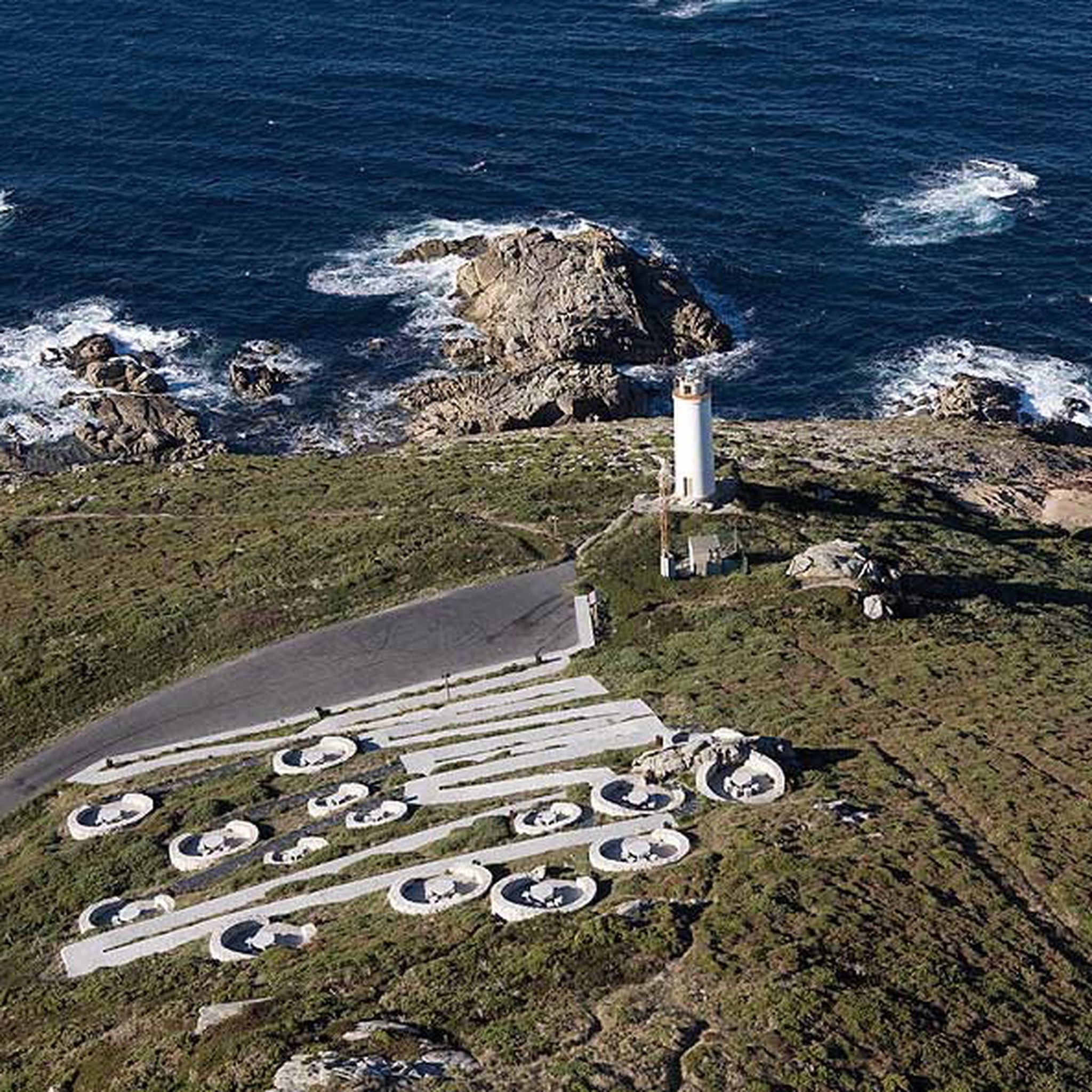
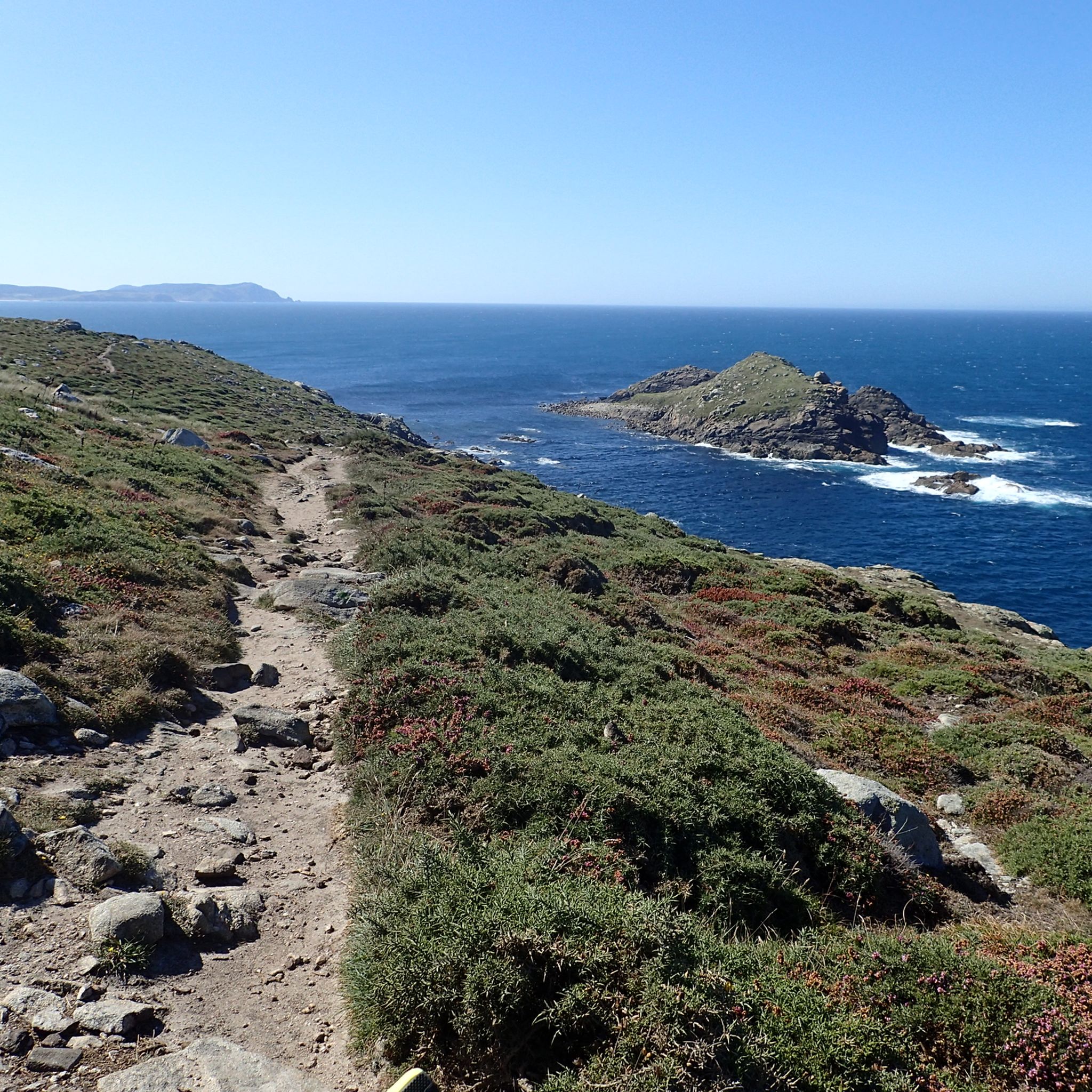
The highest point of the Camiño dos Faros at 312 meters above sea level. From here you have a great view of Ponteceso, the lighthouse of Rocundo, Corme, Laxe and the Atlantic.

번역자 Google •

에 의해

저장

피코 다 마달레나에서의 전망

하이라이트 • 전망대

path that goes up the mountain with spectacular views of the exposed granite rocks and the estuary of Muros

번역자 Google •

에 의해

저장

몬테 무랄라 전망

하이라이트 • 전망대

great panoramic view of the coast and surrounding mountains, really beautiful - worth it ....

번역자 Google •

에 의해

저장

무료로 가입하여 서양인 주변의 더 많은 봉우리를 발견하세요.

무료 회원 가입

이미 komoot 계정이 있나요?

오늘 무료 계정으로 시작하세요

다음 모험이 기다리고 있어요.

로그인 또는 가입하기

서양인 주변 인기 장소

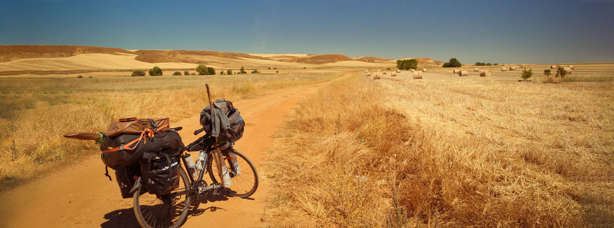
스페인의 자전거 순례 - 카미노 프랑체스와 카미노 피니스테레

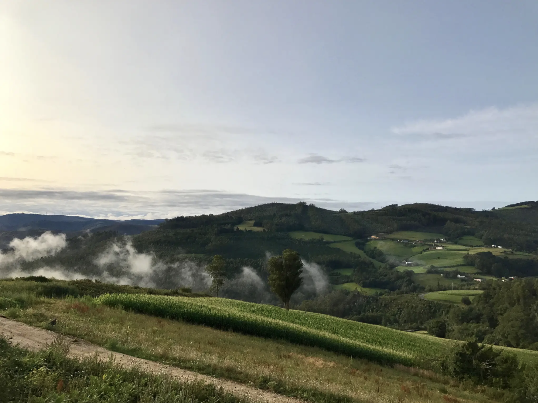
북부 스페인의 놀라운 해안선 발견 - Camino del Norte (역방향)

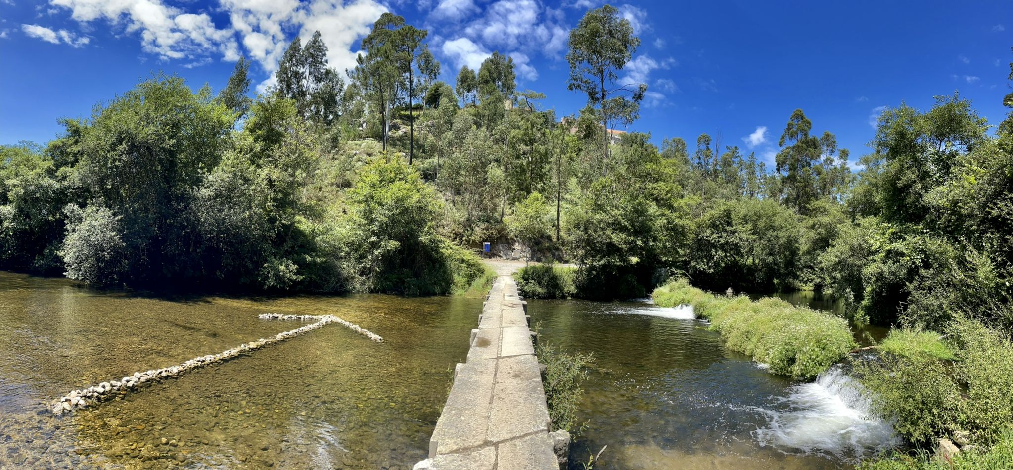
국경을 가리지 않는 도전 — 코스타 포르투갈 길

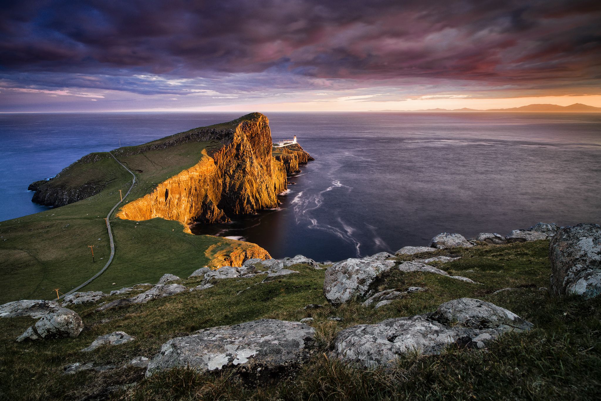
Epic sunset spots in Western Europe

Na Rota dos Peregrinos – o Caminho Central Português

서양인 하이킹

서양인 사이클링

서양인 로드 사이클링 경로

서양인 러닝 트레일

서양인 MTB 트레일

서양인 주변의 다른 모험

스페인의 자전거 순례 - 카미노 프랑체스와 카미노 피니스테레

사이클링 컬렉션 에 의해

Tobias

커뮤니티 팁

Lebola
8월 12, 2024, A Moa Summit (Monte Pindo)

The way to the summit is a bit sweaty, but easy to walk in shorts and well signposted. You reach the summit in about 70 minutes. With the knowledge I have now gained after the tour I have just completed, I would now take the same route back. The way back - as others have already written - quickly becomes very thorny (gorse and blackberries) and the path becomes increasingly narrow. You are bound to get caught on the thorns all the time. It was a pretty bloody affair in shorts. In addition, shortly after leaving the summit, a thick cloud of fog rolled in from the sea and swallowed the mountain. With the cloud came heavy, constant drizzle. I was completely soaked in no time - from above and from the sides due to contact with the vegetation. All of this made the way back feel four times longer than the ascent and was then simply no longer fun. What the rain also showed: good hiking boots are absolutely essential. The rocks then become quite slippery in places. The climb was in mid-August, starting at around 10 a.m. (it is highly recommended to start early, as it is almost always cloudy/foggy in the afternoon) at 20 degrees.

번역: Google

1

0

The highest point of the Camiño dos Faros at 312 meters above sea level. From here you have a great view of Ponteceso, the lighthouse of Rocundo, Corme, Laxe and the Atlantic.

번역: Google

3

0

A path leads from the church up to Monte Corpiño. From here there is a beautiful view over the roofs of Muxía and the coast. The view extends over the Ría de Camariñas to Cape Cabo Vilán.

번역: Google

5

0

path that goes up the mountain with spectacular views of the exposed granite rocks and the estuary of Muros

번역: Google

4

0

TenaciousD
12월 9, 2022, Pico Sacro

Rising 600m, Pico Sacro south of Santiago de Compostela has been guiding travelers since the beginning of time. The peak offers spectacular views of the surrounding valleys

번역: Google

1

0

The top of the Mount Pindo viewpoint is marked with an ordinance stone. Spectacular views towards the bay below and the ocean.

번역: Google

1

0

TenaciousD
12월 1, 2022, Monte Louro

Natural beauty at a height of 241 meters Monte Louro rises above the banks of the Muros y Noia estuary. The area has been declared a Special Conservation Area, which includes Lake Xalfas, and is listed as a Point of Geological Interest

번역: Google

2

0

서양인 주변에서 가장 인기 있는 경로

서양인 하이킹

서양인 주변에서 가장 인기 있는 명소

Places to see

Store rating

komoot 모바일 앱으로 영감을 받아보세요

무료 komoot 계정로 끝없는 야외 모험을 손쉽게 찾고, 맞춤 설정하며 길안내할 수 있어요.

또는

지금 komoot에 가입하세요

Store rating

찾고 계신 것을 찾지 못하셨나요?

서양인의 최고의 봉우리와 정상들을 지역별로 발견해보세요:

마자리코스오레자나산티아고 데 콤포스텔라카르노타포르투 도 손아우츠브리온비미안조무로스

더 살펴보기

이 가이드를 통해 서양인 주변의 더 놀라운 정상들을 확인해보세요:

다른 탐험 장소

서양인의 보호구역

근처 어드벤처 가이드

네그레이라 즐길거리

background

새로운 정복을 위한 준비를 하세요

무료로 가입하기

탐험하기
경로경로 플래너기능바우처 사용하이킹MTB 트레일로드 사이클링 경로바이크패킹사이트맵
앱 다운로드
소셜 미디어에서 팔로우하기

© komoot GmbH

개인 정보 보호 정책