에탕 뒤 푸이츠 최고의 워킹 & 하이킹 경로
4.2
(47)
199
등산객
10
하이킹
에탕 뒤 푸이츠 최고의 하이킹과 워킹을 찾으시나요? 그렇다면 아름다운 비에르존 호수 주변에 있는 경로 컬렉션을 아래에서 살펴보세요. 에탕 뒤 푸이츠에 있는 하이킹 트레일 중에서 마음에 드는 곳을 선택해 언제든지 야외 활동을 하면 돼요.
마지막 업데이트: 10월 10, 2026
4.8
(6)
19
등산객
16.6km
04:14
50m
50m
보통 하이킹. 좋은 체력 필요. 실력과 관계없이 누구나 쉽게 갈 수 있는 길.
4.3
(12)
65
등산객
7.26km
01:51
20m
20m
초급용 하이킹. 모든 체력 수준에 적합. 실력과 관계없이 누구나 쉽게 갈 수 있는 길.

7
등산객
12.1km
03:05
30m
30m
보통 하이킹. 좋은 체력 필요. 실력과 관계없이 누구나 쉽게 갈 수 있는 길.
3.0
(2)
7
등산객
5.23km
01:20
20m
20m
초급용 하이킹. 모든 체력 수준에 적합. 실력과 관계없이 누구나 쉽게 갈 수 있는 길.
5.0
(1)
7
등산객
12.4km
03:09
30m
30m
보통 하이킹. 좋은 체력 필요. 실력과 관계없이 누구나 쉽게 갈 수 있는 길.
더 다양한 경로와 다른 탐험가들의 추천을 살펴보세요.
이미 komoot 계정이 있나요?
투어 추천은 다른 사람들이 komoot에서 완료한 수천 개의 활동을 바탕으로 구성되어 있습니다.
오늘 무료 계정으로 시작하세요
다음 모험이 기다리고 있어요.
에탕 뒤 푸이츠 주변 인기 장소

커뮤니티 팁

The old Canal de la Sauldre, once built to transport wood, lime, and peat, meanders through the forests of the Sologne. Today, the water is calm and wooded, but the old locks, bridges, and towpaths still reveal exactly how it once worked. It's an ideal walking route.
4
0
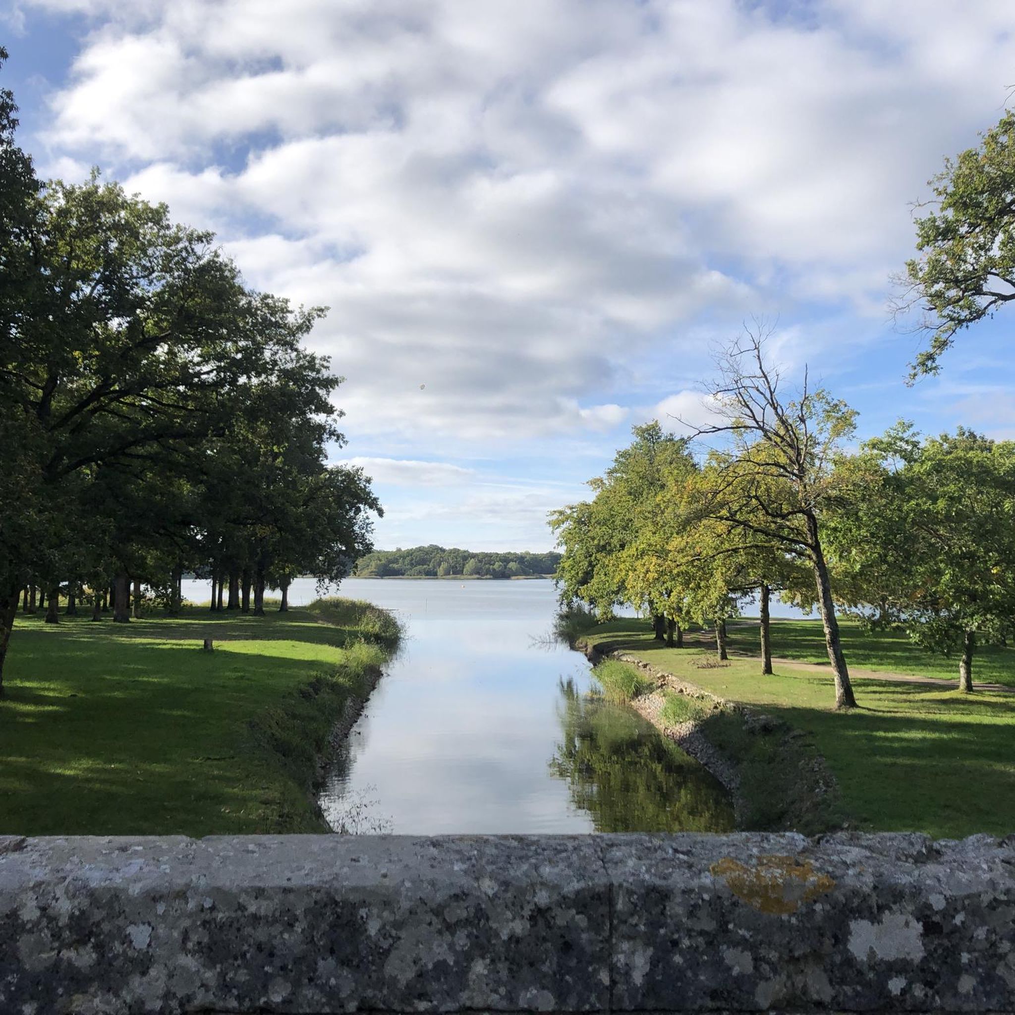
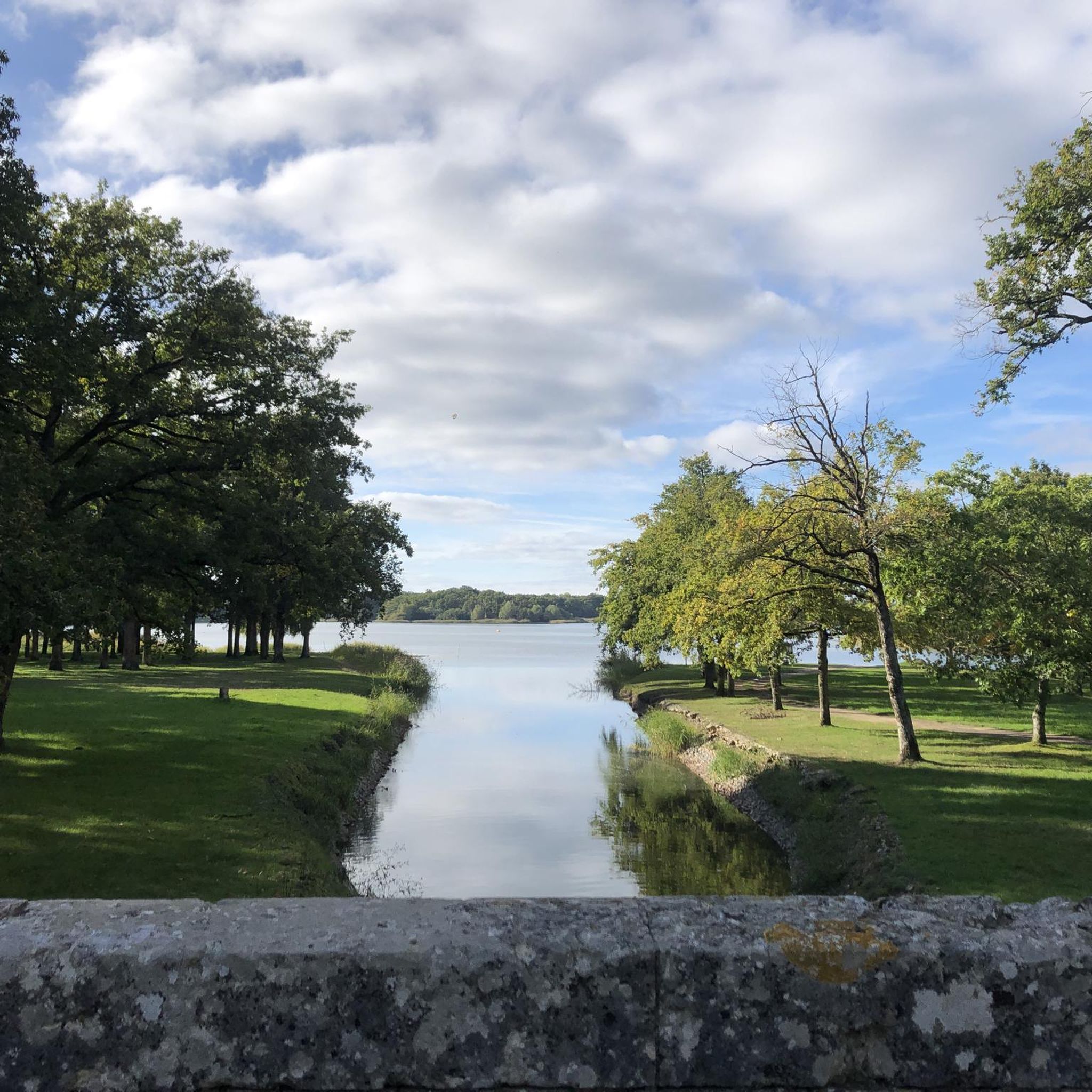
This lock was once part of the Canal de la Sauldre. Water from the Étang du Puits was regulated here to allow ships to pass and maintain the canal's water level. Now it's simply a beautiful spot to pause for a moment...
4
0
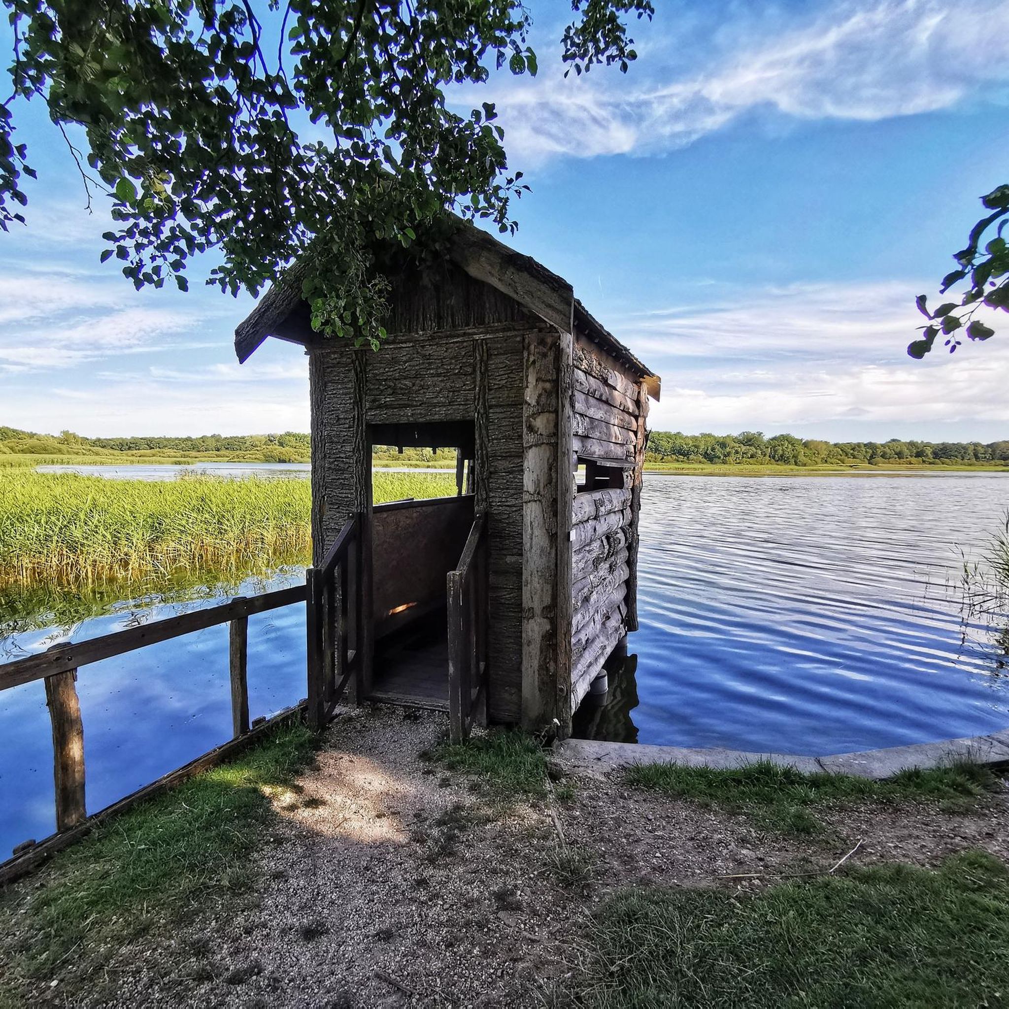
The lake covers 180 hectares, making it the largest in the Sologne. Originally created in 1864 to supply the Sauldre canal with water. Now partly developed as a recreational area: beach area, hiking trails, water sports (sailing, ski-nautique, pedalo), and an ornithological reserve. For nature lovers: you'll find a rich bird life (cendré heron, grèbe huppé, etc.) and diverse flora along the banks. For families: picnic areas, a beach area in the summer, and playgrounds.
4
0

Canal which connects Blancafort (Cher) and Lamotte-Beuvron (Loir-et-Cher) and is 46,810 km long. It is the only canal in France not attached to any waterway, designed to improve agriculture in Sologne with drainage, irrigation and earth transport functions. Its construction began urgently in June 1848, after a vote by the National Assembly which wanted to occupy the Parisian workers left behind by the closure of the National Workshops.
1
0
The largest pond in Sologne which combines rich natural environments, with fauna and flora that can be admired for hours, and facilities conducive to relaxation and swimming, with its beaches and activities on offer.
1
0
One of the 22 locks of the Canal de la Sauldre. The Etang du Puits, with an area of 180 hectares, served as a buffer reservoir for the canal in order to supplement it with water when the Sauldre was not enough to supply it.
1
0


더 살펴보기
다른 지역의 최고의 하이킹를 살펴보세요.
