락 드 클루송 최고의 러닝 경로
4.3
(35)
2,598
달리기 하는 사람
87
러닝
락 드 클루송에서 하이킹하며 건디스 구석 부분까지 살펴볼까요? 락 드 클루송에 있는 모든 하이킹 및 워킹 경로 컬렉션 중 가장 멋진 하이킹 경로를 엄선하여 소개해드릴게요. 다른 하이커가 공유한 실제 팁과 사진을 살펴보고 후기를 읽으며 마음에 드는 락 드 클루송 워킹 경로를 찾아보세요.
마지막 업데이트: 10월 29, 2026
39
달리기 하는 사람
17.1km
02:49
970m
970m
어려운 조깅. 우수한 체력 필요. 튼튼한 신발을 신고 미끄러지지 않게 조심해야 하며, 높은 산을 오른 경험이 있어야 함.
36
달리기 하는 사람
10.0km
01:22
450m
450m
어려운 조깅. 우수한 체력 필요. 튼튼한 신발을 신고 미끄러지지 않게 조심해야 하며, 높은 산을 오른 경험이 있어야 함.

27
달리기 하는 사람
10.7km
01:20
440m
440m
어려운 조깅. 우수한 체력 필요. 튼튼한 신발을 신고 미끄러지지 않게 조심해야 하며, 높은 산을 오른 경험이 있어야 함.
9
달리기 하는 사람
8.01km
01:22
580m
580m
어려운 조깅. 우수한 체력 필요. 튼튼한 신발을 신고 미끄러지지 않게 조심해야 하며, 높은 산을 오른 경험이 있어야 함.
19
달리기 하는 사람
19.6km
03:02
870m
870m
어려운 조깅. 우수한 체력 필요. 튼튼한 신발을 신고 미끄러지지 않게 조심해야 하며, 높은 산을 오른 경험이 있어야 함.
더 다양한 경로와 다른 탐험가들의 추천을 살펴보세요.
이미 komoot 계정이 있나요?
투어 추천은 다른 사람들이 komoot에서 완료한 수천 개의 활동을 바탕으로 구성되어 있습니다.
오늘 무료 계정으로 시작하세요
다음 모험이 기다리고 있어요.

커뮤니티 팁

Auberge Les Bisses는 작은 마을인 Planchouet에 위치해 있습니다. Suonen을 따라 걷는 하이킹 중에 좋은 휴식처를 제공합니다.
0
0
아름다운 예배당은 1931년에 지어졌습니다. 당시 마을 주민들이 일요일 예배를 위해 마을까지 가는 길이 너무 멀다고 느꼈기 때문입니다. 예배당은 모두 낙엽송 나무로 만들어졌습니다. 위키백과에 따르면 당시 건축 비용은 7,000 프랑이었습니다.
0
0

The Col des Roux is located at 2,803 meters between the rocky Roux mountain range and Mont Blava. It connects the Prafleuri valley and the Val des Dix.
0
0

This is a little-known accommodation on the Alp La Barma above the Lac des Dix. On the signposts nearby it is also referred to as "Cabane des Gentianes", on the swisstopo national map as "Refuge de la Barme". Private property of the Soc. de Gymnastique «La Gentiane», Heremence. 50 places, winter room 15 places. Manned in summer.
3
0

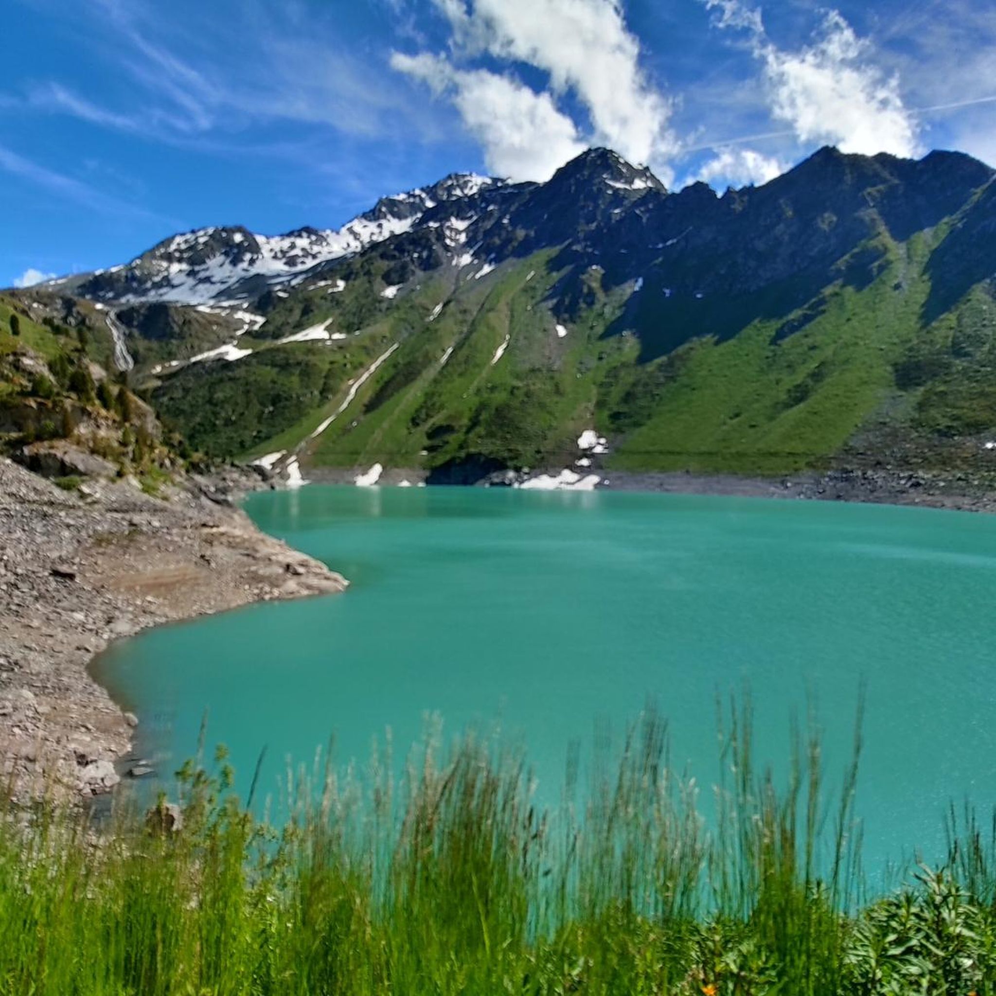
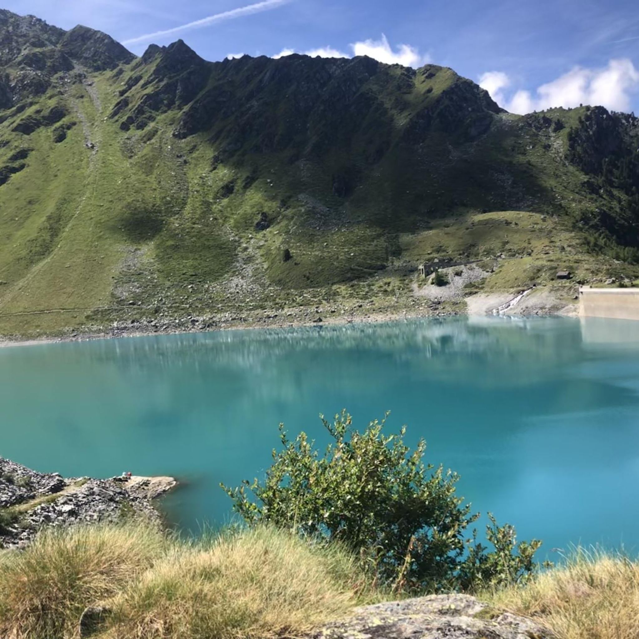
The Cleuson Dam rises with its pronounced curves, creating a stunning backdrop to the Alpine landscape. As you reach the top, take the time to admire the turquoise waters held back by the imposing dam structure, which contrasts beautifully with the rugged mountainous surroundings. The view over the Val de Nendaz is simply spectacular and the effort of the climb is well worth it.
0
0

Whether you're coming from the south or the north, the spot where the glacial runoff pours into Lake Dix is truly impressive. You can take a break and watch the massive masses of water for a long time. The lake is located at an elevation of 2,362 meters. Fun fact: the dam at the other end of Lac des Dix is, at 285 meters, the tallest structure in Switzerland.
0
0

Classic bar with a terrace, a perfect place to enjoy the sun with a cold beer after a long outing.
0
0
A large and emblematic lake, suspended in the mountain valleys below the Aiguille Rouges d'Arolla. The waters of the lake are a powerful turquoise, tinted by the minerals of the mountain waters that fill it. The lake is a feature of the legendary Haute Route, and is visited by cyclists, hikers and skiers on their journeys between Verbier and Arolla. There are many ways to access the lake by bike, ranging from challenging mountain excursions to gentler morning outings. The lake is also a great place to sit and absorb the mountain ambiance, looking out at the rocky peaks that dominate this pool and the cows roaming their meadows.
0
0


