카세레스 최고의 라이딩 경로
4.6
(236)
11,575
자전거 타는 사람
743
라이딩
카세레스에서 하이킹하며 익스트라마두라 구석 부분까지 살펴볼까요? 카세레스에 있는 모든 하이킹 및 워킹 경로 컬렉션 중 가장 멋진 하이킹 경로를 엄선하여 소개해드릴게요. 다른 하이커가 공유한 실제 팁과 사진을 살펴보고 후기를 읽으며 마음에 드는 카세레스 워킹 경로를 찾아보세요.
마지막 업데이트: 10월 10, 2026
262
자전거 타는 사람
90.7km
05:17
1,890m
1,890m
어려운 도로 자전거 타기. 우수한 체력 필요. 지면 대부분이 잘 포장되어 있고 라이딩하기 쉬움.
5.0
(2)
167
자전거 타는 사람
48.5km
02:08
280m
280m
보통 도로 자전거 타기. 좋은 체력 필요. 지면 대부분이 잘 포장되어 있고 라이딩하기 쉬움.

5.0
(7)
138
자전거 타는 사람
50.1km
02:20
320m
320m
보통 도로 자전거 타기. 좋은 체력 필요. 지면 대부분이 잘 포장되어 있고 라이딩하기 쉬움.
5.0
(1)
90
자전거 타는 사람
95.9km
04:16
770m
770m
보통 도로 자전거 타기. 좋은 체력 필요. 지면 대부분이 잘 포장되어 있고 라이딩하기 쉬움.
71
자전거 타는 사람
69.3km
04:13
1,640m
1,640m
어려운 도로 자전거 타기. 우수한 체력 필요. 지면 대부분이 잘 포장되어 있고 라이딩하기 쉬움.
59
자전거 타는 사람
77.9km
04:54
1,600m
1,600m
어려운 도로 자전거 타기. 우수한 체력 필요. 지면 대부분이 잘 포장되어 있고 라이딩하기 쉬움.
53
자전거 타는 사람
57.6km
03:07
1,160m
1,170m
어려운 도로 자전거 타기. 우수한 체력 필요. 지면 대부분이 잘 포장되어 있고 라이딩하기 쉬움.
47
자전거 타는 사람
93.6km
04:53
1,120m
1,120m
어려운 도로 자전거 타기. 우수한 체력 필요. 지면 대부분이 잘 포장되어 있고 라이딩하기 쉬움.
43
자전거 타는 사람
113km
05:58
1,700m
1,700m
어려운 도로 자전거 타기. 우수한 체력 필요. 지면 대부분이 잘 포장되어 있고 라이딩하기 쉬움.
41
자전거 타는 사람
112km
05:39
1,870m
1,860m
어려운 도로 자전거 타기. 우수한 체력 필요. 지면 대부분이 잘 포장되어 있고 라이딩하기 쉬움.
더 다양한 경로와 다른 탐험가들의 추천을 살펴보세요.
이미 komoot 계정이 있나요?
투어 추천은 다른 사람들이 komoot에서 완료한 수천 개의 활동을 바탕으로 구성되어 있습니다.
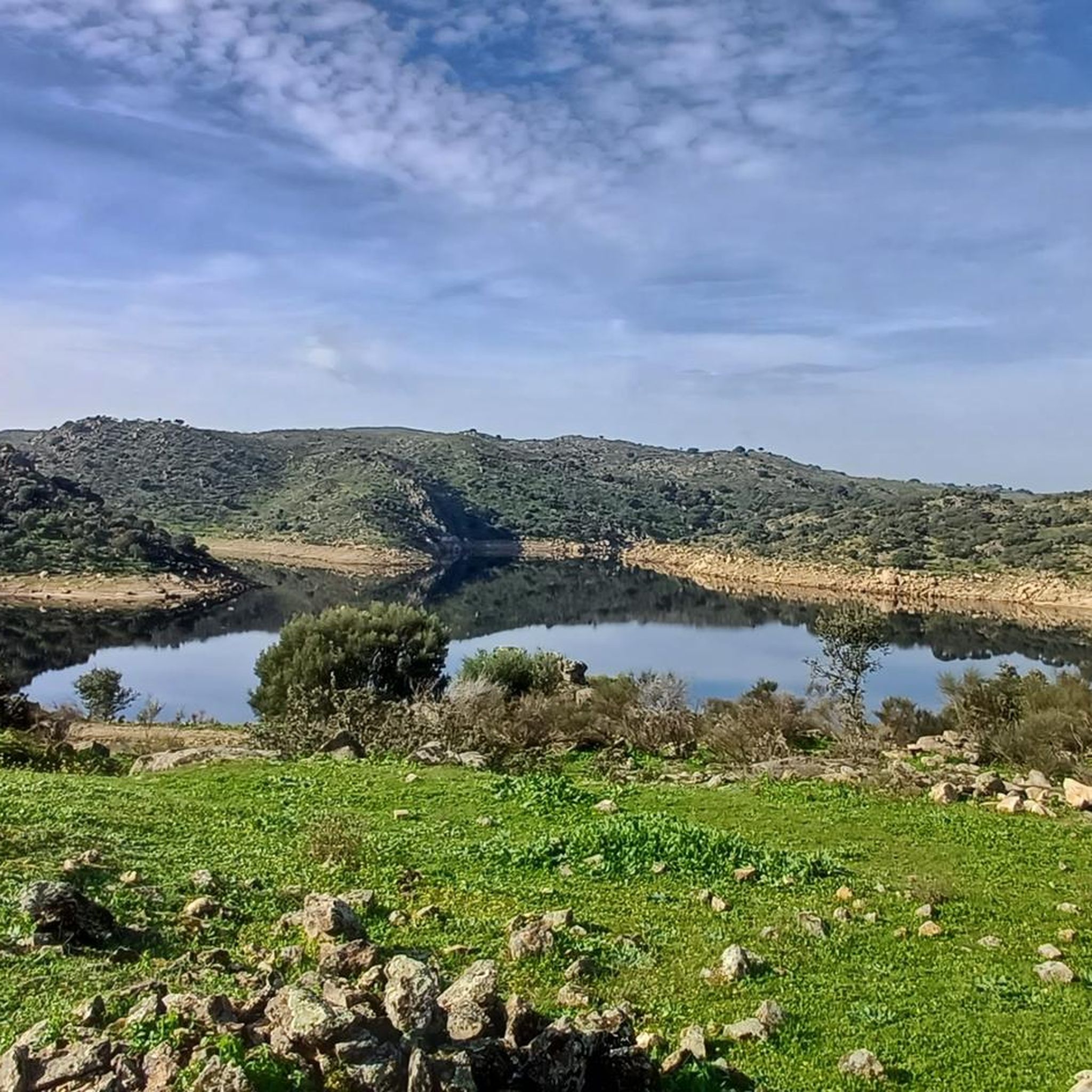
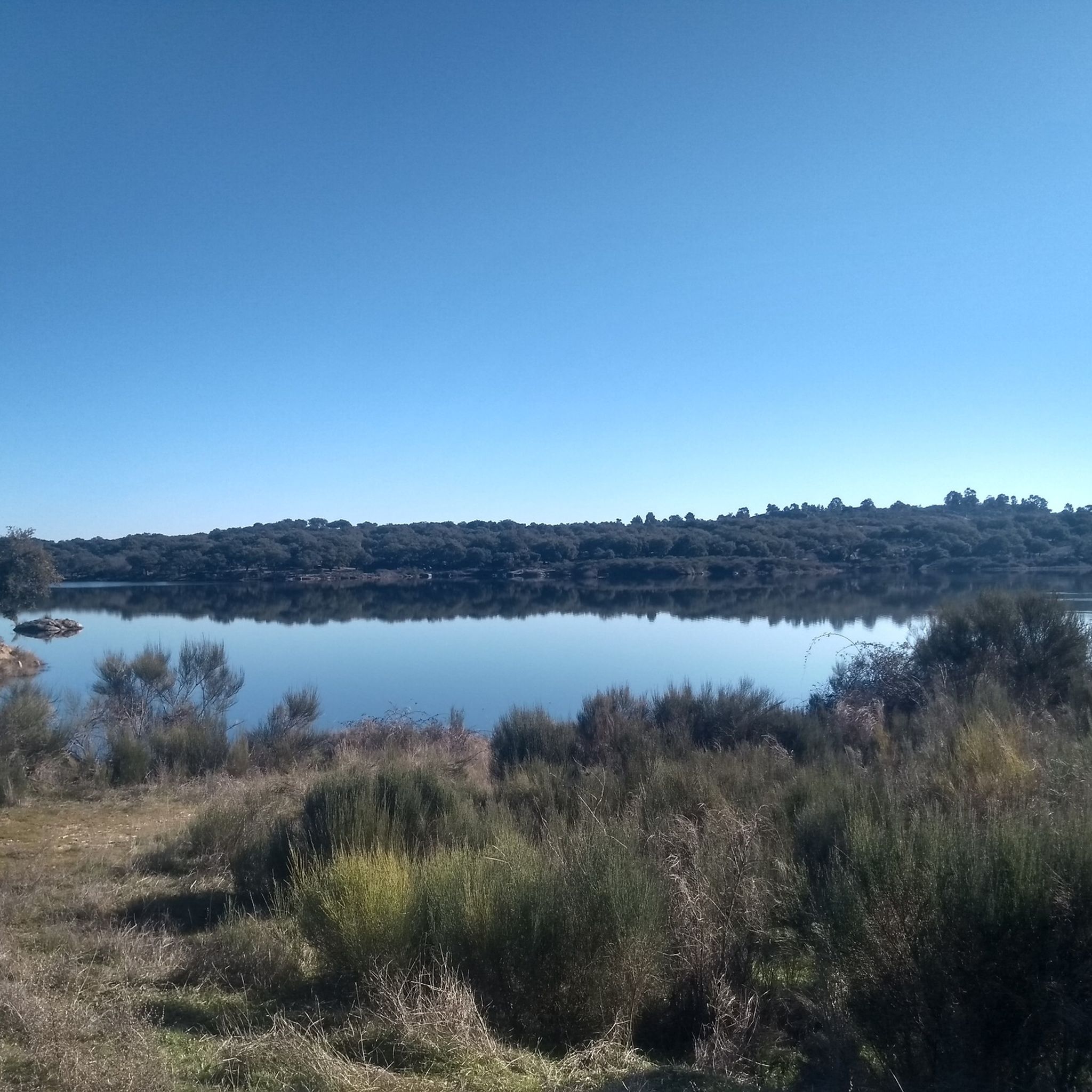
카세레스의 다른 모험


커뮤니티 팁

과달루페의 산타 마리아 왕립 수도원(Monastero Reale di Santa María de Guadalupe)은 스페인 에스트레마두라 자치 지방 카세레스 주 과달루페에 위치한 15세기 웅장한 수도원 단지입니다. 1993년 유네스코 세계 문화 유산으로 지정된 이 유적지는 4세기에 걸친 역사와 독특한 고딕-무데하르 양식의 걸작을 결합하고 있습니다.
0
0
과달루페의 산타 마리아 왕립 수도원은 스페인 에스트레마두라 자치 지방 카세레스 주 과달루페 시에 위치한 14세기 인상적인 수도원 단지입니다. 1993년 유네스코 세계 문화 유산으로 지정된 이 특별한 기념물은 고딕, 무데하르, 르네상스, 바로크 양식의 건축적 융합을 보여주는 탁월한 예입니다. 4세기 동안 이 나라에서 가장 중요한 수도원이었으며, 가톨릭 군주들의 역사와 아메리카 대륙 발견과 밀접하게 연관되어 있었습니다.
0
0


수십 년 동안 잊혀진 채 거의 방문하지 않는 외딴 폐허가 되었습니다. 그러나 최근에는 미라벨 성(또는 그 일부)이 몬프라궤 생물권 보전지역의 이 지역에서 가장 인기 있는 명소 중 하나가 되었습니다. 산악 지역의 언덕 꼭대기에 위치한 이 성의 인상적인 방어 구조물은 아래로 펼쳐진 타구스 강(Tagus River)의 멋진 전망을 제공합니다.
12
0
Hervás에는 Davila 궁전, 교구 교회, 삼위일체 수도원 등 아름다운 건축 유산이 있습니다. 유럽 최대의 클래식 오토바이 컬렉션!
15
0

The Royal Monastery of Santa María de Guadalupe is a 14th-century monastery located in the Spanish town of Guadalupe, in the province of Cáceres. It was declared a UNESCO World Heritage Site in 1993. Inside, you can appreciate Gothic, Mudéjar, Renaissance, Baroque, and Neoclassical architectural styles. A place with a rich history and breathtaking architectural beauty! 🌟🏰
13
0
The Church of the Assumption is considered one of the finest examples of late Gothic architecture. For this reason, both the church and its main altarpiece were declared cultural heritage sites in 1981.
7
0

Stage 1. Guadalupe/Herrera del Duque 98 kilometers. 2,160 meters of elevation gain. The Cáceres town of Guadalupe has been a famous pilgrimage center since the late 13th century, when a local shepherd found the image of the Virgin hidden in a remote mountainous area of the Sierra de las Villuercas, building a hermitage for worship that gave rise to the site of La Puebla de Santa María de Guadalupe. The Order of Saint Jerome founded the Royal Monastery, and during the Middle Ages it was a notable sanctuary of popular devotion. It is the most important and outstanding monument in Guadalupe, with a beautiful Mudejar feel and a blend of Gothic, Renaissance, and Baroque elements. It was declared a World Heritage Site in 1993. The old town of La Puebla has been declared a Historic-Artistic Site and features arcades, stone fountains, folk architecture, and medieval alleyways in the old Jewish quarter. The cycle tour begins in the lively Plaza de Santa María along Calle Sevilla, passes through the Arco de Sevilla, which was one of the gates in the old wall protecting the monastery, continues past the Fuente de los Tres Chorros, one of the town's 17 fountains, and leaves Guadalupe along a cobbled path with slate slabs that requires some skill with the brakes due to the steep slope. On the outskirts, the first milestones of the Villuercas Nature Trail GR-116 appear. The path crosses the road at the rustic Angorrilla bridge and continues through the forest canyon of the Guadalupejo River. The pace is slow at first; the trail doesn't allow for fast pedaling, and the jungle of vegetation captivates the atmosphere. The path passes over the imposing viaduct of the old railway and finally enters the dirt tracks that climb towards the Villuercas mountains, descending back to the Guadalupejo riverbed, where there is a pedestrian bridge to cross the ford when floodwaters make it difficult to cross the river. Alía is the first village on the route, a good place to check your gear and bike after the rough ride before entering the toughest section of the stage, over the Puerto de San Vicente. The crossing of the Guadarranque Valley is a quintessential landscape in the unique geological realm of Las Villuercas, but on a bicycle, it's a significant challenge. At the river footbridges, a furious climb begins to the Manzano pass. The dirt surface of the Nature Trail crosses the road, descends through gravel forks to a stream, and continues along steep slopes to the Puerto de San Vicente pass. The easy option is to climb along the shoulder of the road and, in the village, rejoin the Las Villuercas Nature Trail to the Santa Quiteria station, the start/finish of the Vía Verde de la Jara. In the following section, there are no specific cycling route signs; it is essential to follow the track. The route runs along the foothills of the Altamira mountain range and the Rincón del Torozo Microreserve through holm oak forests, crosses the mountain range via Puerto del Rey, and descends to the Cíjara reservoir dam, one of the large artificial lakes on the middle course of the Guadiana River and borders Cáceres and Badajoz.
1
1


찾고 계신 것을 찾지 못하셨나요?
카세레스에서 더 많은 로드 사이클링 경로를 확인하고 목적지에서 완벽한 경로를 찾아보세요.
더 살펴보기
다른 지역의 최고의 로드 사이클링 경로를 살펴보세요.
