모로 호수 최고의 사이클링 경로
4.3
(1030)
13,518
자전거 타는 사람
108
라이딩
모로 호수에 자전거 라이딩을 할 수 있는 경로는 많은데, 어디서 출발해야 할지 모르시겠다고요? 아름다운 호수를 구경할 수 있도록 가장 멋진 경로를 알려드릴게요. 망설이지 말고, 마음에 드는 모로 호수 사이클링 경로를 아래에서 찾아보세요.
마지막 업데이트: 10월 10, 2026
15
자전거 타는 사람
17.6km
01:16
320m
320m
어려운 자전거 타기. 좋은 체력 필요. 투어 중 자전거를 끌고 가야 하는 구간이 있을 수 있음.
5.0
(1)
28
자전거 타는 사람
13.2km
00:45
40m
50m
초급용 자전거 라이딩. 모든 체력 수준에 적합. 대부분 포장된 지면. 실력과 관계없이 누구나 갈 수 있음.

14
자전거 타는 사람
38.0km
04:00
1,500m
1,500m
어려운 자전거 타기. 우수한 체력 필요. 대부분 포장된 지면. 실력과 관계없이 누구나 갈 수 있음.
23
자전거 타는 사람
26.5km
01:59
500m
500m
어려운 자전거 타기. 우수한 체력 필요. 투어 중 자전거를 끌고 가야 하는 구간이 있을 수 있음.
5
자전거 타는 사람
23.5km
02:41
1,330m
1,330m
어려운 자전거 타기. 우수한 체력 필요. 투어 중 자전거를 끌고 가야 하는 구간이 있을 수 있음.
더 다양한 경로와 다른 탐험가들의 추천을 살펴보세요.
이미 komoot 계정이 있나요?
투어 추천은 다른 사람들이 komoot에서 완료한 수천 개의 활동을 바탕으로 구성되어 있습니다.
오늘 무료 계정으로 시작하세요
다음 모험이 기다리고 있어요.
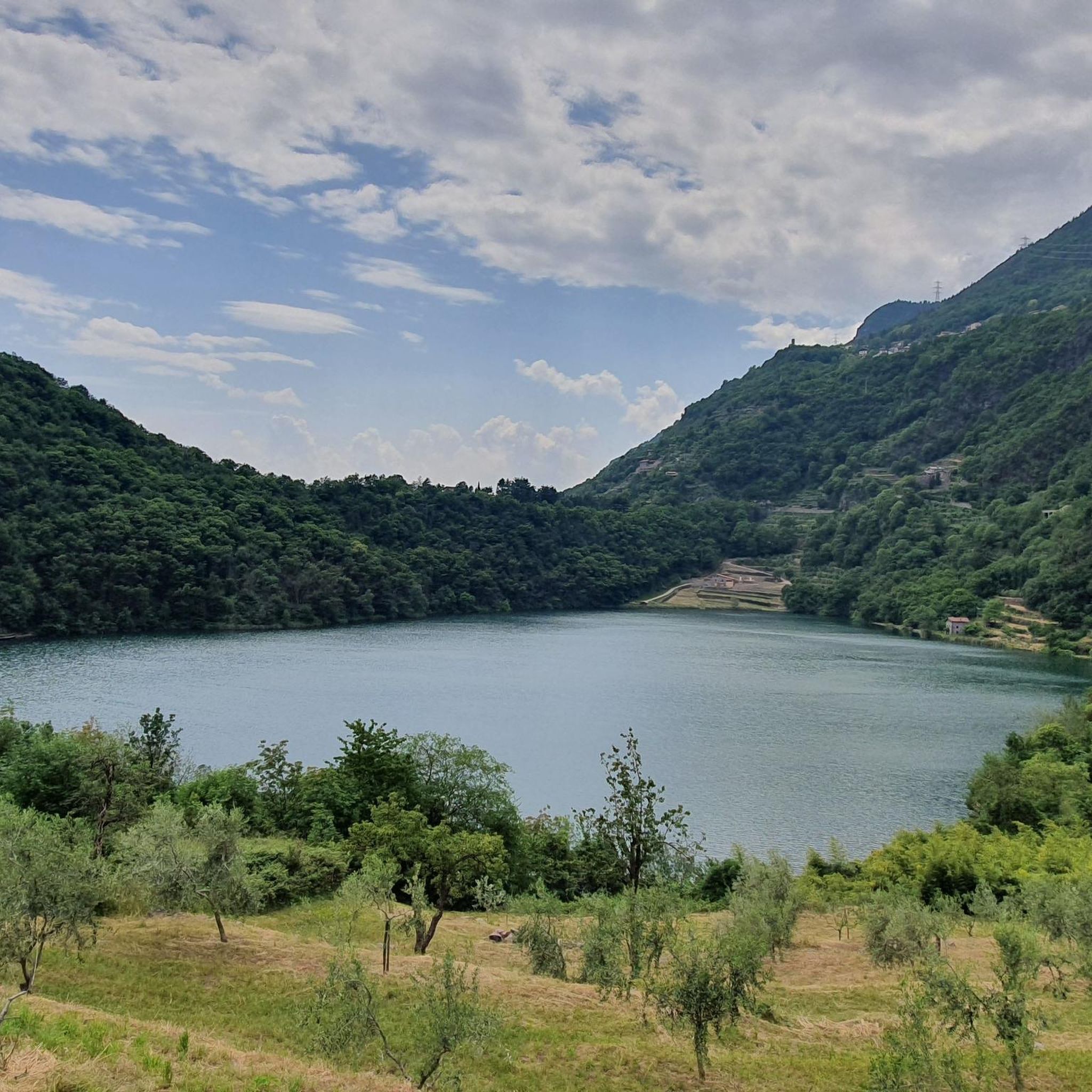
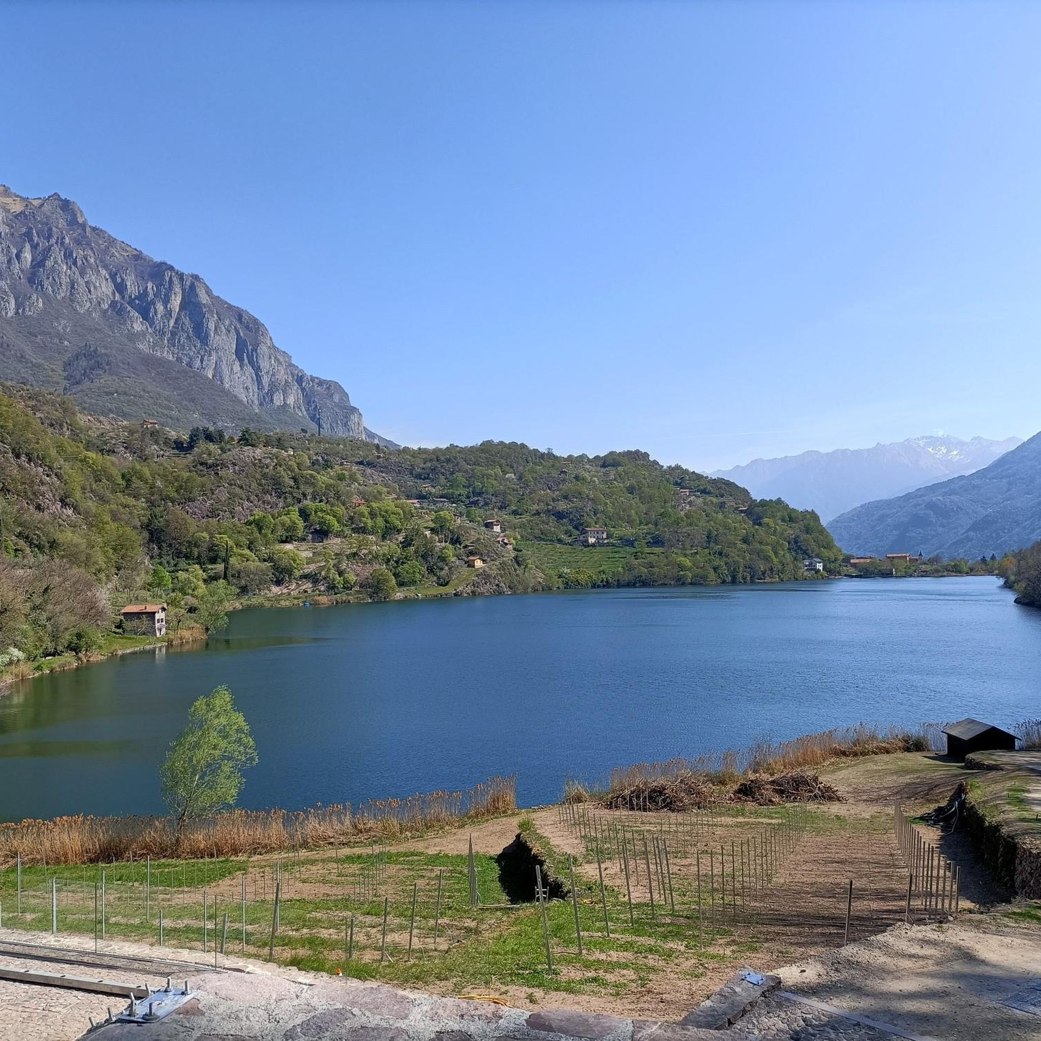
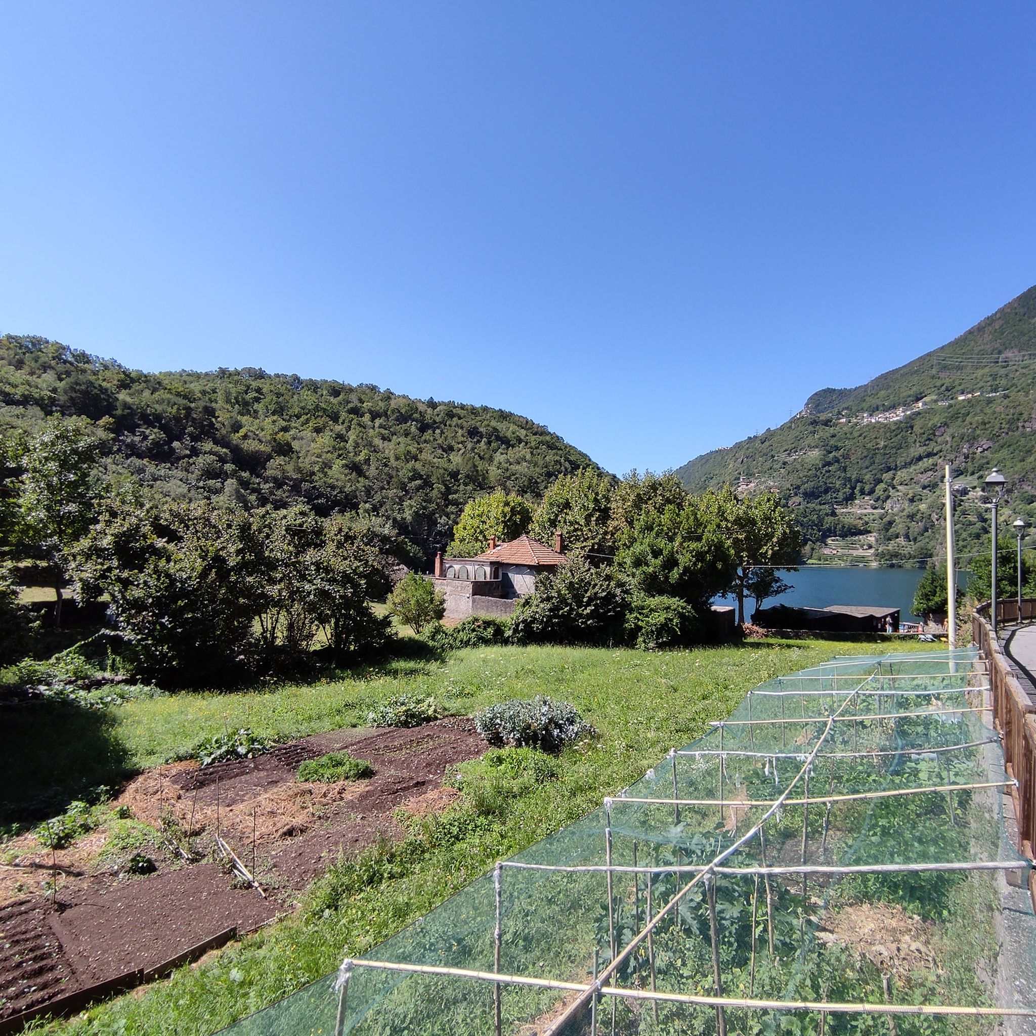
커뮤니티 팁


정말 예상 밖이었습니다. 호수 근처의 적은 아스팔트 도로는 매우 가파르고 좁지만, 그럴 만한 가치가 있습니다.
0
0

보르노에서 출발하여 접근 가능하며, 시멘트 차도(최근 산사태 복구 작업으로 인해 마지막 구간은 폐쇄되었으며 우회로가 표시되어 있음)로 복원된 뮬라티에라를 따라 이동하며 경사도는 20% 이상입니다.
0
0

Lake Lova is a picturesque hiking destination located above Borno, on the Altopiano del Sole plateau in Val Camonica. It is appreciated for its alpine landscape, tranquility, and the variety of trails that surround it. The lake is located at approximately 1,392 meters above sea level and can be reached via several hiking trails, including the Sentiero della Memoria (Path of Remembrance) that starts from the church of San Fiorino in Borno. After a short paved stretch to the Trattoria Navertino, you take a dirt path that winds through larch and fir trees, with steep sections and slippery cobblestones. The hike is immersed in a natural environment typical of the Lombard Prealps. The hike is immersed in a natural environment typical of the Lombard Prealps, with natural fountains and good cell phone coverage. A longer alternative is the Monte Mignone – Lago di Lova circular hike, approximately 11.1 km long with an elevation gain of 837 meters, to be done counterclockwise. This route offers spectacular views and passes through pastures and woods, with the lake as its focal point. Lago di Lova is also a hub for other trails: from here, you can continue towards the Rifugio San Fermo or the Rifugio Laeng, following CAI trails 106 and 182. Parking is available near the lake, making it accessible even for less experienced hikers. From a scenic perspective, the lake is nestled in a green valley surrounded by woods and pastures, with calm waters reflecting the sky and surrounding mountains. It's an ideal destination in all seasons, but particularly captivating in autumn for the colors of the foliage.
2
0
Lake Lova is a picturesque hiking destination located above Borno, on the Altopiano del Sole plateau in Val Camonica. It is appreciated for its alpine landscape, tranquility, and the variety of surrounding trails. The lake is located at approximately 1,392 meters above sea level and can be reached via several hiking trails, including the Sentiero della Memoria (Path of Remembrance) that starts from the church of San Fiorino in Borno. After a short paved stretch to the Trattoria Navertino, you take a dirt path that winds through larch and fir trees, with steep sections and slippery cobblestones. The hike is immersed in a natural environment typical of the Lombard Prealps, with natural fountains and good cell phone coverage. A longer alternative is the Monte Mignone – Lake Lova circular hike, approximately 11.1 km long with an elevation gain of 837 meters, to be done counterclockwise. This route offers spectacular views and passes through pastures and woods, with the lake as its focal point. Lake Lova is also a hub for other trails: from here, you can continue towards the San Fermo Refuge or the Laeng Refuge, following CAI trails 106 and 182. Parking is available near the lake, making it accessible even for less experienced hikers. Scenically, the lake is nestled in a green valley surrounded by woods and pastures, with calm waters reflecting the sky and surrounding mountains. It's an ideal destination in all seasons, but particularly captivating in autumn due to the colorful foliage.
0
0

Nice, historic, relaxing...a beautiful ride along the Oglio cycle path.
0
0

Stone bridge with nice views around. The river was brown due to heavy rain some hours earlier.
1
0

To reach Montecchio di Darfo, starting from Boario, you cross the so-called "Roman bridge." It is a scenic 24-meter, single-span bridge, built from blocks of granite and Simona stone in 1686, over the remains of an older bridge that connected the medieval castle on Monticolo to the opposite bank of the river. It has been recognized as a national monument.
0
0


더 살펴보기
다른 지역의 최고의 자전거 경로를 살펴보세요.
